Friends Playing Tourists: Exploring Baltimore (Part 3)

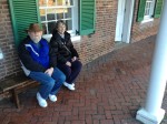
Saturday found us turning our sights toward Baltimore, Maryland’s largest (and perhaps best known) city. After furthering the world championship of Uno and consuming significant quantities of cranberry juice (with just the slightest hint of Cape Codder fixings), our morning got started around 10. Our quest for the day included Fort McHenry, the Zappa bust and the Baltimore Basilica.
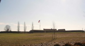
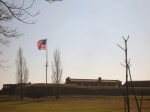
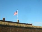
This year, Maryland will be celebrating the 200th Anniversary of the War of 1812 (as evidenced by our current car tags as much as anything else). Following the Battle of Baltimore, Francis Scott Key observed the Flag (15 stars and 15 stripes at the time) being flown over Fort McHenry from his vantage point in Baltimore Harbor and penned the words to The Defence of Fort McHenry which would become our Star Spangled Banner. An interesting piece of info is that the tune was that of an old drinking song.
 

The original tune was “To Anacreon in Heaven,” an English drinking song written by John Stafford Smith with words by Ralph Tomlinson, Esq.  According to tradition it was first “sung at the Crown Anchor Tavern in the Strand, circa 1780.” Tomlinson was president of the Anacreontic Society, a gentlemen’s club popular with upscale London boozers. Anacreon (563-478 B.C.) was a Greek poet known for his songs of wine and women.

Copyrights were a different issue in those days.
Key was a Washington lawyer. He was onboard a British truce ship attempting to negotiate the release of a civilian friend of his who had been captured. While onboard, Key’s delegation learned of plans to launch the attack on Baltimore. He was detained onboard to protect the plans. Thus he witnessed the dawn’s breaking from the ship and saw the over-sized American flag which was raised at first light.

The Americans were under the command of Brevet Lt. Col. George Armistead and  did suffer casualties, amounting to four killed and 24 wounded.

The War of 1812 came about largely because of an ongoing tussle between the French and the English for control of the seas. The very young United States wasn’t really a player in that tussle but suffered on-going collateral damage as the English and French were constantly trying to disrupt the others’ supply lines. Along the way, American sailors were conscripted into service on foreign-flagged ships. Eventually, having had enough, President James Madison requested a declaration of war against the British.
Other events in the War that may stand out in your mind include the Battle of New Orleans (In 1814 we took a little trip, along with Colonel Jackson down the Mighty Mississipp’, remember Johnny Horton?) and the burning of Washington by the British and moving of the capital to Brookeville Maryland for the day.  The Americans had designs on removing the British from Canada as well but that wasn’t to be.
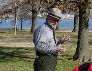
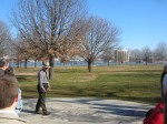
Our tour guide was an historian with the National Park Service. It was obvious that the man enjoyed his job! Our tour included the facts and enough drama and humor to make his presentation particularly memorable.

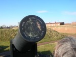
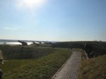
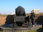
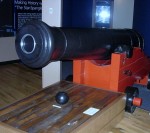
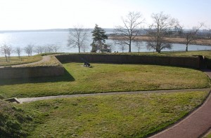
The fort is positioned at the mouth of the Baltimore Harbor at the convergence of the Patapsco River and the Chesapeake Bay.  Although the count of hits vs. misses show that much of the “rockets’ red glare” was visual effects. Cannon fire from the fort was designed to skip across the water and penetrate the hull near the waterline where the red hot cannonball was likely to start a fire and lead to the loss of the ship.
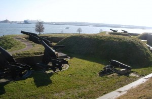
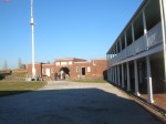
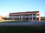
The fort is of the five-pointed star design with a dry moat around it which could be used as cover by musket men to fend off a land attack should an invading naval attack make it to shore. The fort was active until 1925 when it became a National Park. In 1939, it was designated a National Monument and Historic Shrine. It was also used as a Coast Guard base during World War II.
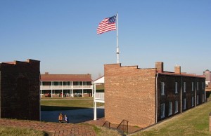
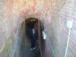
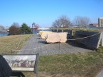
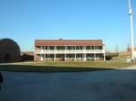
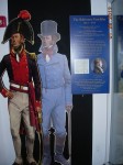
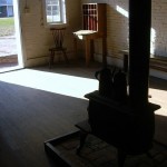
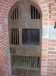
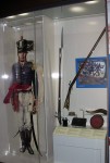
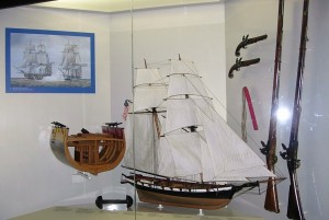
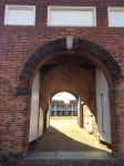
The Fort contains several buildings which served as officer and enlisted quarters, a brig and an ammunition store. Exhibits depict these uses as well as artifacts from the fort’s life.

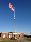
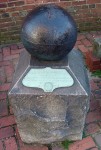
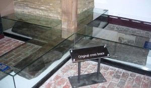
The flagpole which supports the flag is two-pieces, much as a ship’s mast would be. This was apparently fairly common design for forts of this era. There was also an exhibit showing how the flagpole is anchored and a display of the original flagpole anchor.
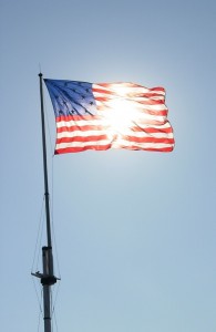
There is a newly-constructed visitor center which contains the obligatory gift shop and a series of exhibits on the War of 1812 and the Star Spangled Banner. The audio-visual presentation is entertaining and has a quite dramatic ending with a view of the soaring and (on the day we were there) brightly sunlit view.

We made the requisite stop at the Gift Shop both to do our part to support the operations plus we needed to get a few things (postcard, shotglasses and a DVD featuring history and our favorite Park historian).
  A big commemorative celebration with tall sailing ships and fireworks and enough pomp and circumstance to be worthy of the occasion is planned to begin June 18, 2012.  Sounds like quite the party.

All this fresh air and exercise of climbing around the fort worked up our appetites. The suggestion was put forward to find some lunch, or considering the hour, maybe an early dinner and noodles were requested for the menu. Sounds like its time to find Baltimore’s Little Italy!

Bridge construction had the most direct route blocked so we wound our way back out to 95 and then on to circle the Inner Harbor.
  We headed to Little Italy with no particular restaurant in mind (as we’d never been there before) and cruised until we found a parking spot on High Street, conveniently in front of the door at Amicci’s. After perusing the choices, we decided that Amicci’s to be our choice.
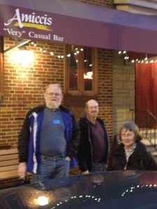
Seated quickly, we ordered drinks and calimari as an appetizer. Our dinner choices included pasta dishes including mussels and chicken marsala. All our choices were tasty, served promptly and attractively. Amicci’s was a good choice. Happenstance was in our favor.
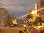
By the time we had finished our meal, it was nearing dark so we continued on to find the bust of Frank Zappa.
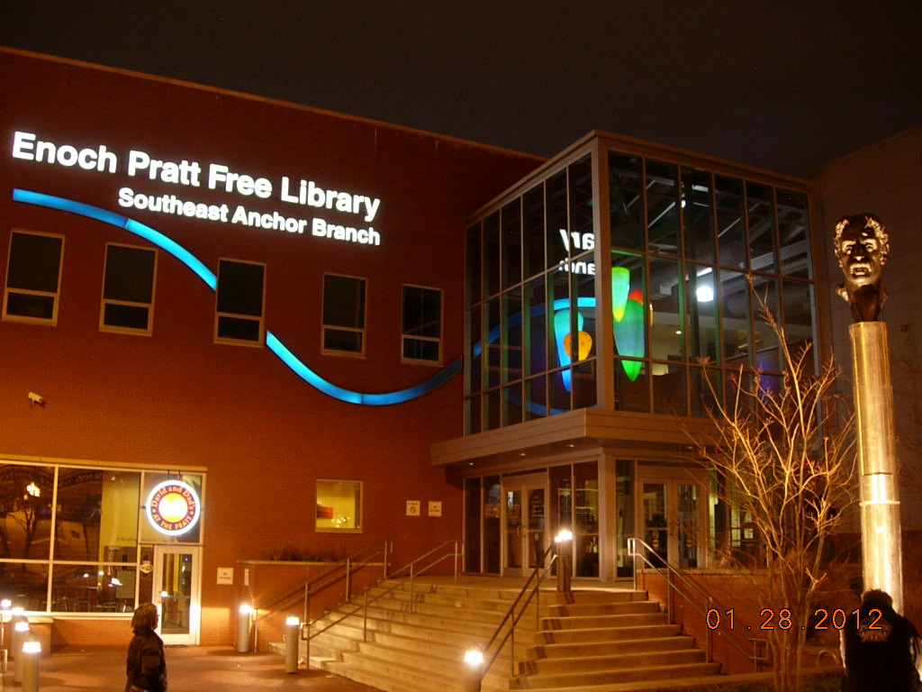
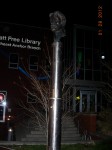
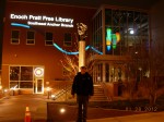
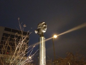
The bust of Frank Zappa was a gift to the city of Baltimore to honor a native son and matches another bust in Vilnius Lithuania. It was of particular interest to Steve as he had seen the matching bust during his travels in Lithuania. Finding it is a bit more of a trick. We were aware it was outside the Enoch Pratt Library in Baltimore. There are at least 3 Enoch Pratt libraries in Baltimore! It seems Enoch Pratt was a friend of Andrew Carnegie and also a successful businessman and philanthropist. The Zappa bust is located at the Southeast Anchor Branch on Eastern Avenue and was celebrated by the city with Frank Zappa Day when it was unveiled on September 19, 2010.
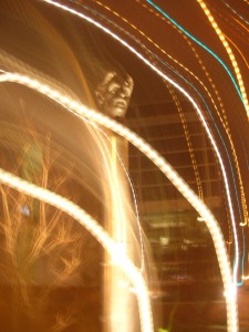
This picture is getting shared as I'm trying to figure exactly what happened. A slow shutter speed accounts for the light trails but the center shows a relatively clear face of the bronze Zappa bust.
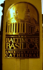
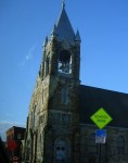
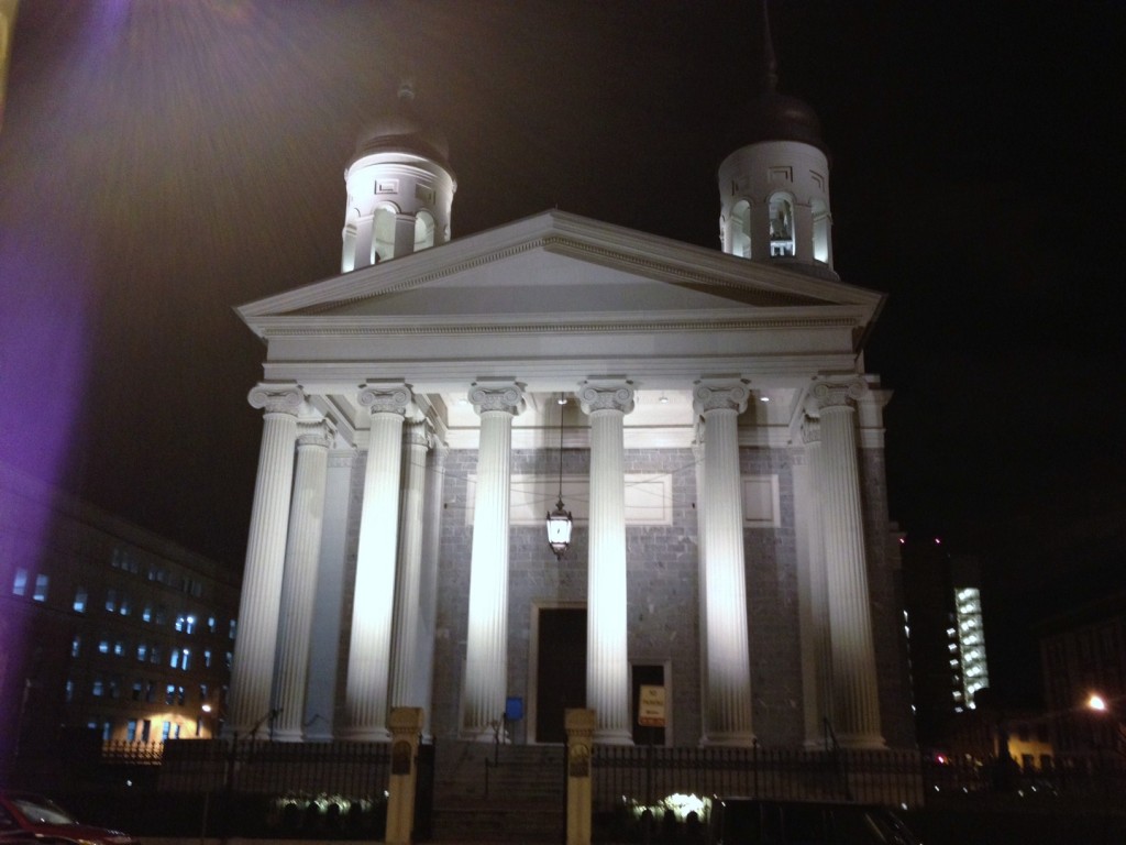
We still had hoped to make one more site in travels around Baltimore but we weren’t sure we had time to make it. America’s First Basilica is in Baltimore. It usually closes at 6:00 and we were past that BUT on Saturday evening, the church is open for Evening Mass. Mass brings parishioners and parking was at a premium so we dropped Steve and Russ by the door and went to circle the block. Second time around we found a spot as Mass was letting out.

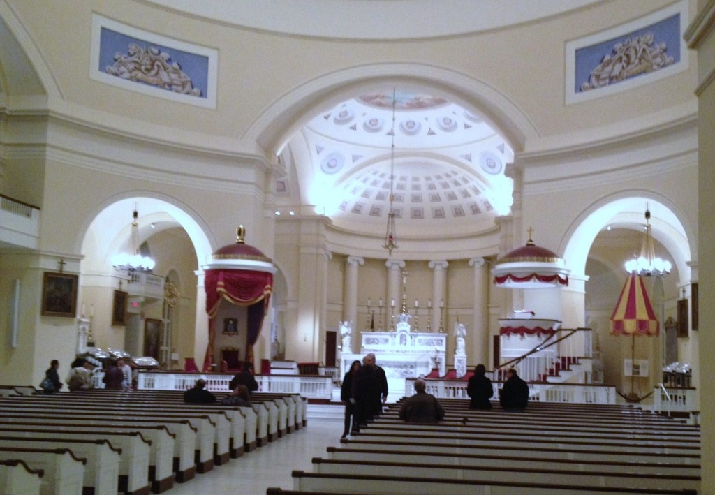
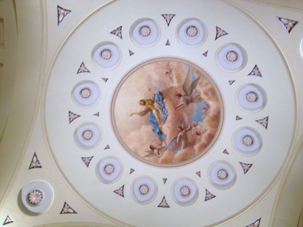
It’s a beautiful building and the night lighting shows it off dramatically. The Baltimore Basilica, built from 1806-1821, was closed from April 2004 until November 2006, for a major restoration to return the church to its original design, as envisioned by America’s first bishop, John Carroll, and as planned by renowned architect Benjamin Henry Latrobe. The Basilica reopened with much fanfare and celebration, just in time to commemorate her 200th Anniversary. Within the first year of reopening, over 200,000 visitors were welcomed from all over the world, to walk through history, rejoice in faith, and admire the Basilica’s stunning architecture and artwork. The Basilica is also one of Baltimore’s beloved cultural institutions, offering educational tours daily, as well as hosting uplifting concerts and informative lectures.
It had been a full day and the Uno cards were calling. We drove past Camden Yards and back to Germantown for some more serious socializing.



Friends Playing Tourists in DC: A Tribute to Our Military Heroes (Part 2.2)

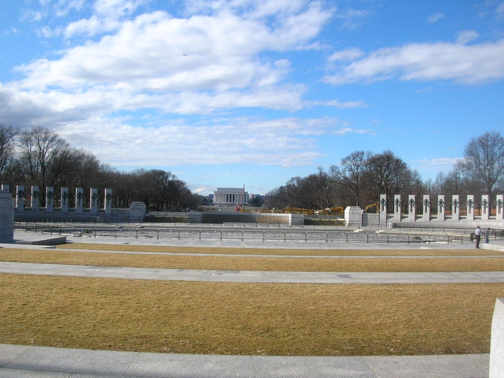
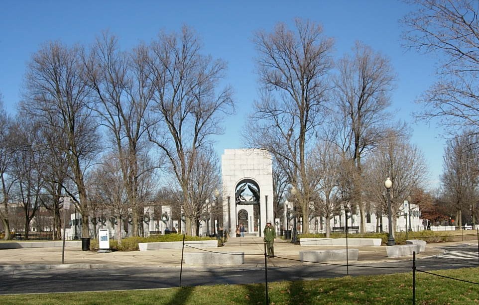
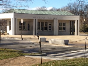
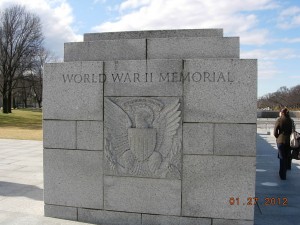
From the Declaration monument, we made our way to one of the newer and more well-known memorials, the World War II Memorial. It is both striking in its design (even with the water drained for the cold weather as it is now) and awe-inspiring in its sobriety. It is also very popular at all times of year.

The World War II Memorial honors the service of sixteen million members of the Armed Forces of the United States of America, the support of countless millions on the home front, and the ultimate sacrifice of 405,399 Americans.  On May 29, 2004, a four-day “grand reunion” of veterans on the National Mall culminated in the dedication of this tribute to the legacy of “The Greatest Generation.” See more at the official website.

It is situated between the Washington and Lincoln adjacent to the Reflecting Pool. This was the first time that Steve and Russ had been to see it.

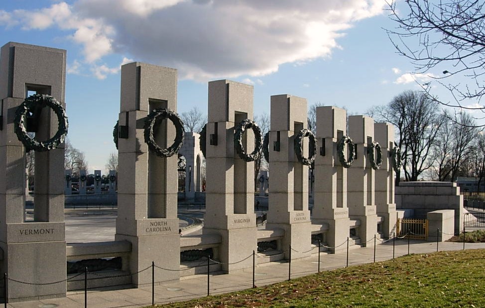
The Memorial includes granite columns for each of the states, districts and territories that sent their sons and daughters to fight.

Connecting the granite columns are bronze ropes just as the country was bound together in a common purpose. (More than a few lament the passing of these binds while rejoicing that their cause has ended.)

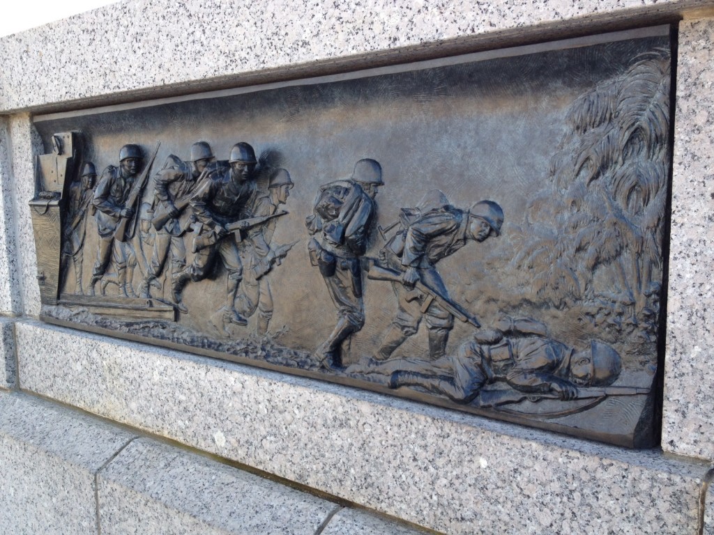
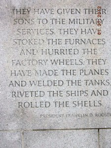
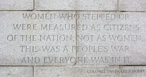
At opposite ends of the circle are soaring pavilions to signify the two major fronts of the war, the Atlantic (sea, land and air)  and the Pacific (sea, land and air).In the center of the circle are pools of water (during normally warmer months). At various spots are bronze bas-reliefs and engraved granite recalling significant events or thoughts of the period.One of my favorite parts of this Memorial is the wall of over 4,000 gold stars commemorating those who were casualties or missing after the war. (We didn’t get a picture of them.)

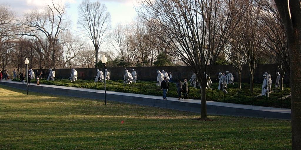
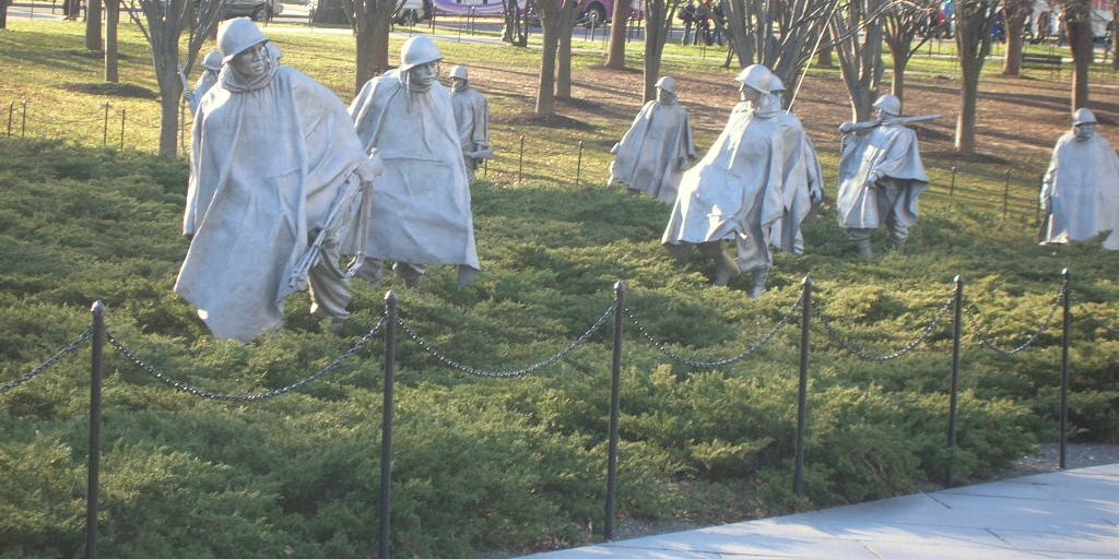
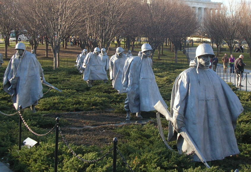
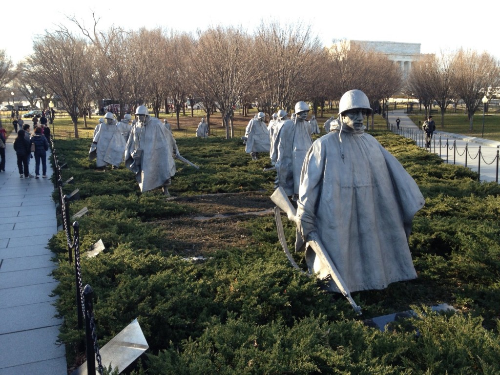
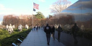
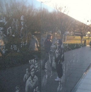
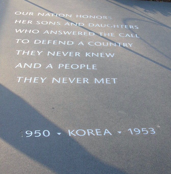
Our next stop was the Korean War Veterans Memorial, located southeast of the Lincoln Memorial on the National Mall. The Memorial commemorates the many who died (USA 54,246 United Nations 628,833), went missing (USA 8,177 UN 470,267), captured (USA 7,140 UN 92,970), and wounded (USA 103,284 UN 1,064,453) for a country of people they never knew.

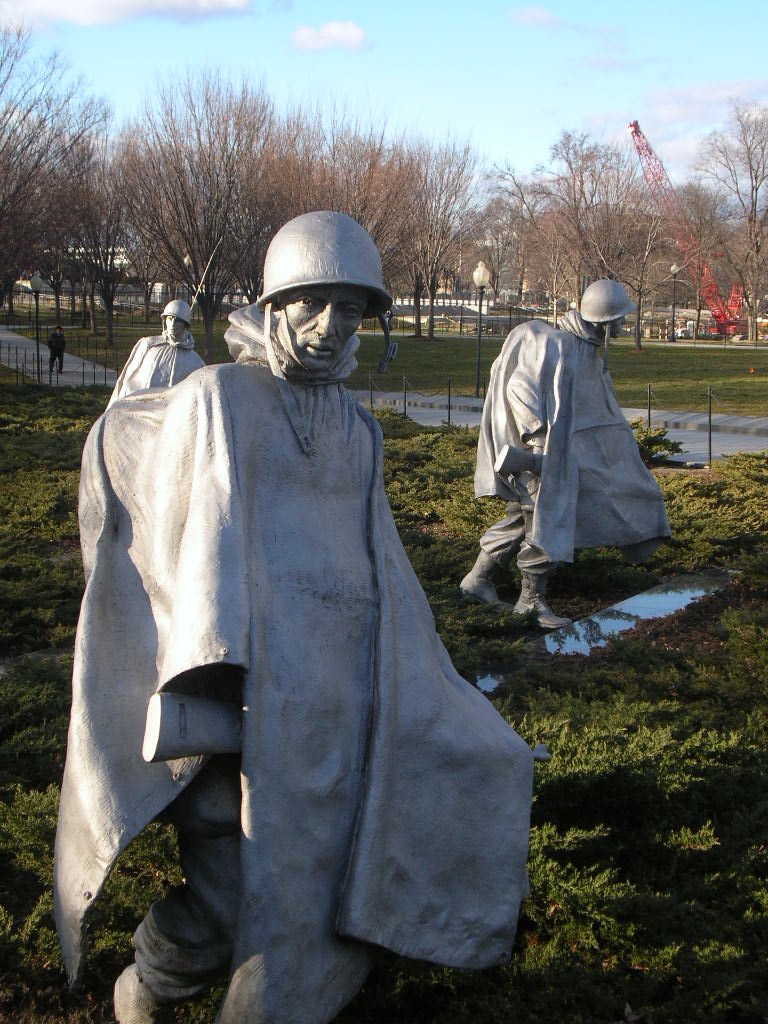
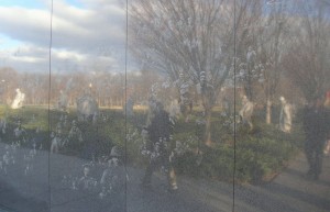
The Memorial contains 19 larger-than-life figures are made from stainless steel and are depicted marching next to a wall of polished granite where a multitude of faces look on. There is something haunting in the sculpture as well as the faces etched and reflections. The visit to the Korean Veterans Memorial was a first for the guys.

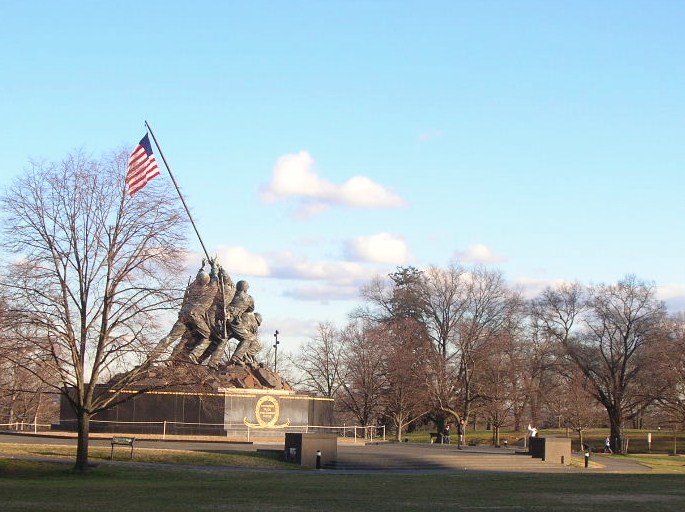
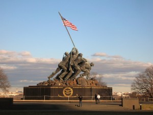
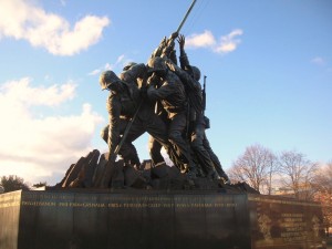
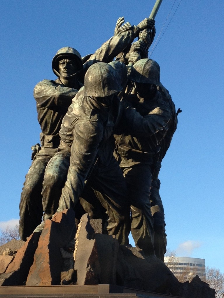
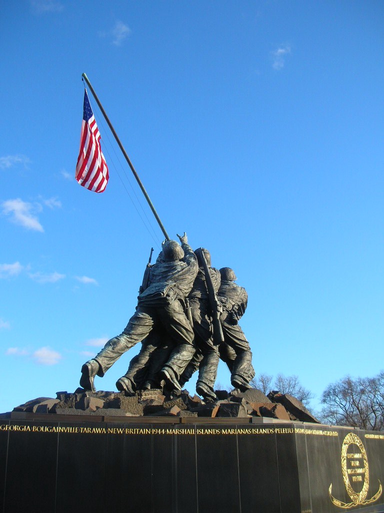
Our next stop was the Iwo Jima Memorial.

“The United States Marine Corps War Memorial stands as a symbol of this grateful nation’s esteem for the honored dead of the U.S. Marine Corps. While the statue depicts one of the most famous incidents of World War II, the memorial is dedicated to all Marines who have given their lives in the defense of the United States since 1775. ” You can read more about the Memorial at the official website.

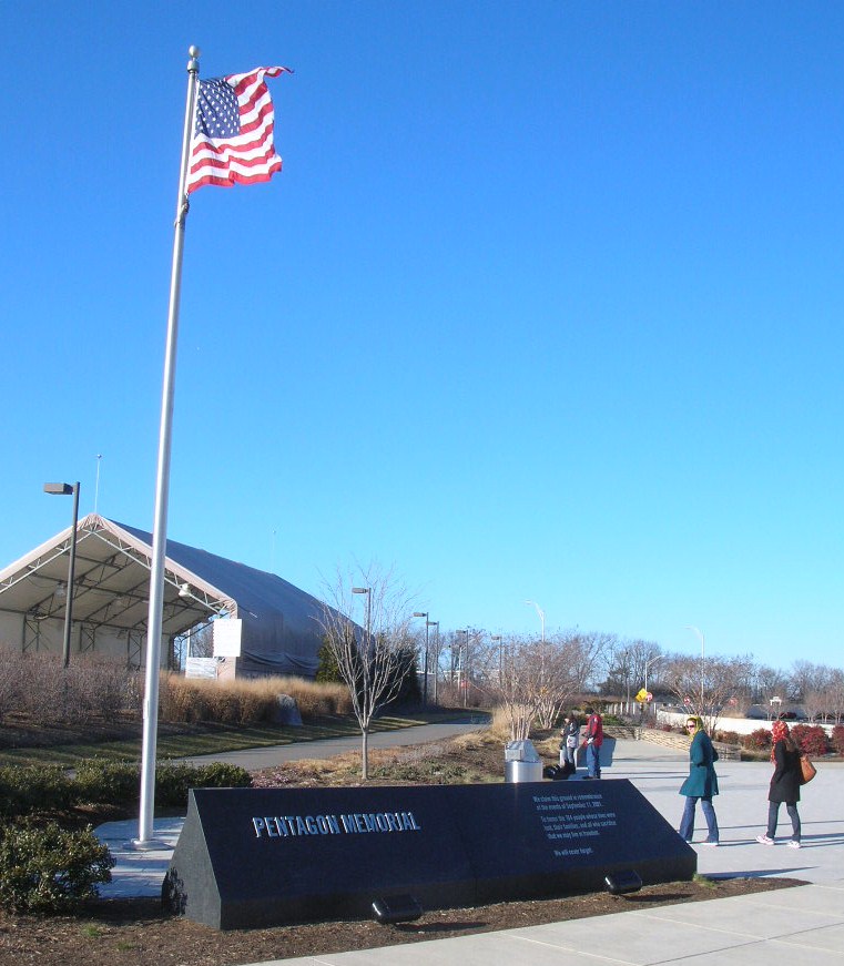
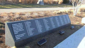
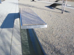
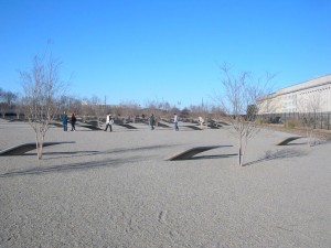
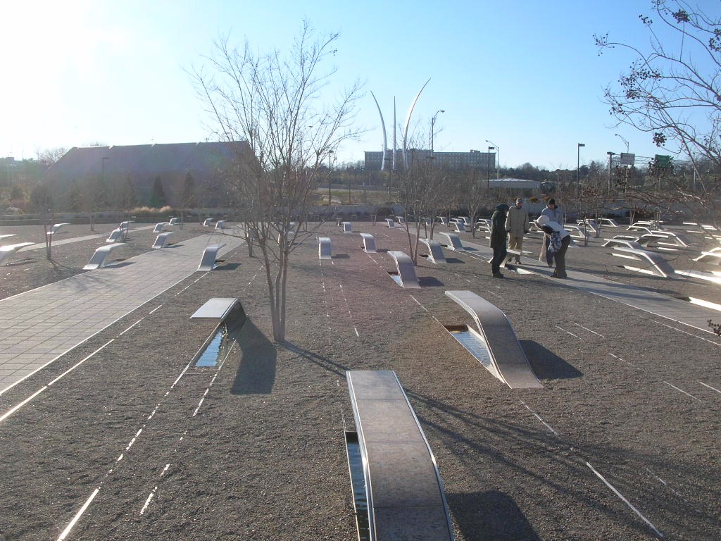
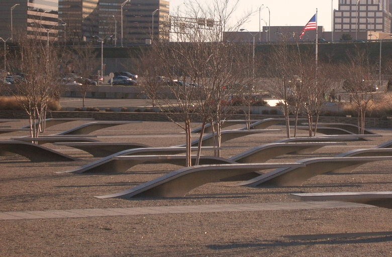
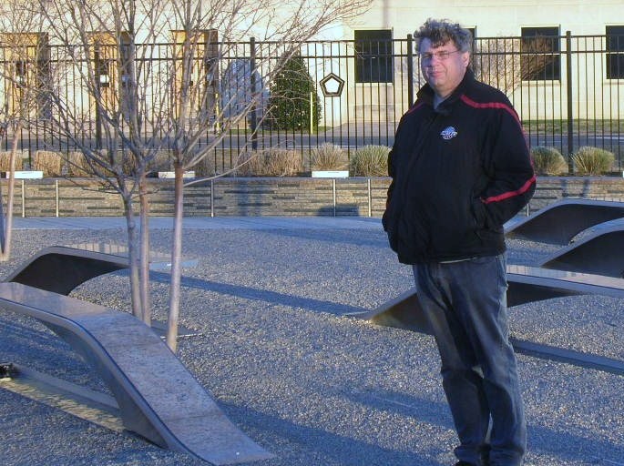
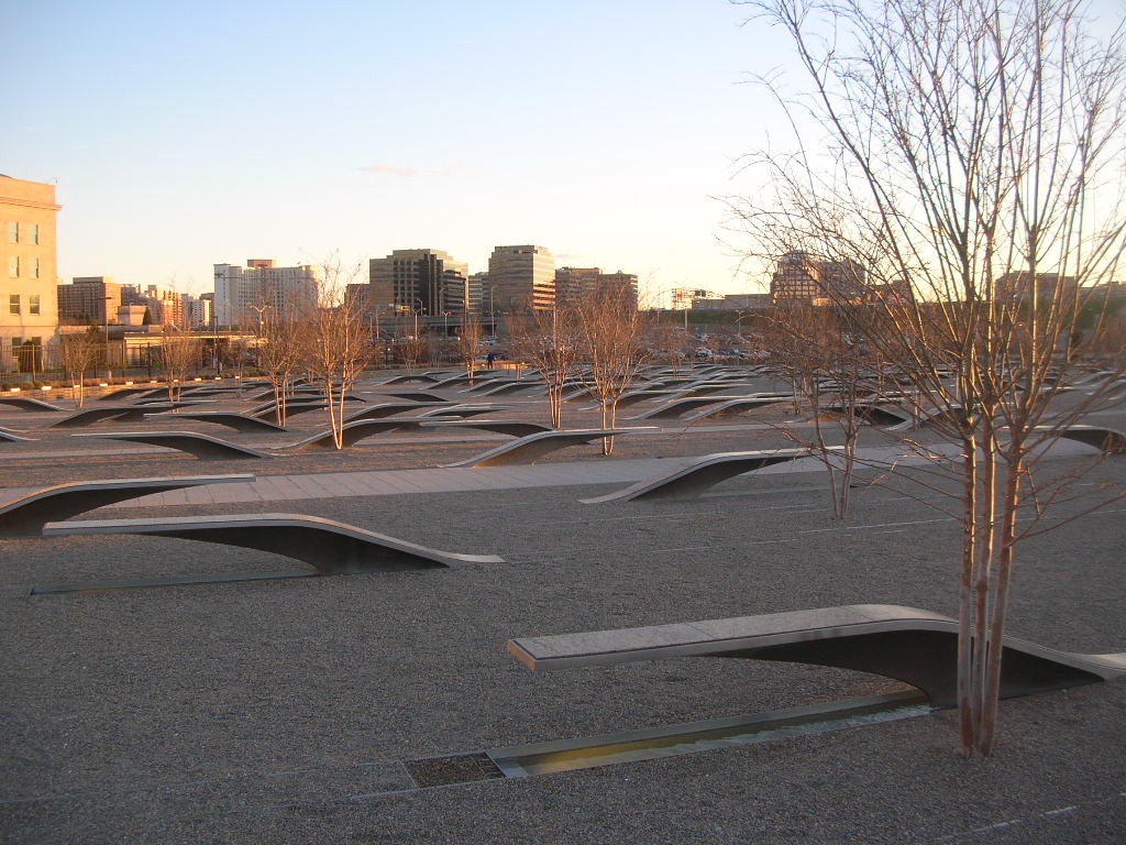
The Pentagon September 11 Memorial opened on September 11, 2008 to honor the memory of the 184 people who died in the attack there on September 11, 2001 both on the ground and onboard the airplane.

The Memorial is located on the rounds of the Pentagon complex and not easily reached. The options include taking the Yellow or Blue Line Metro to Pentagon Station and then walking around to the opposite side of the complex or driving and parking on the opposite side of I-395 (although 5 handicap parking spaces are available next to the Memorial). There is also a walking tunnel under 395 from near the Pentagon City Mall. I believe that there is also a drop off for tour buses nearby so the “difficulty” and long walk is only if you’re traveling on your own.

For each person who died there, there is a bench rising from the ground on one end and suspended in the air on the other. Below each bench is a pool of moving water. On the end of the bench, the name of the person is engraved. You can tell whether the person was inside the Pentagon or onboard the airplane from which end of the bench with their name is anchored in the earth and which end is elevated. If the anchored end is closer to the building, they were inside the Pentagon. If the anchored end is away from the building, they were onboard the airplane.

The benches are arranged based on the year of birth of the person. The younger children onboard the airplane are closer to the entrance. Thankfully, there are also fewer of them in that area. If more than one member of a family died during the attack, family names are listed in the reflecting pool under the bench, in addition to the separate benches that have been created for each individual. A wall along the edge of the Memorial begins at a height of 3 inches and rises to a height of 71 inches, the ages of the youngest and oldest victim of the attack, and approximately 85 paperbark maple trees are planted on the memorial grounds.

Friends Playing Tourists in DC (Part 2.1)

Friday morning rolled around and not too early after a full night of Uno and Cape Codders but we were out and about after breakfast. Our goal for the day was the National Mall in DC. Since our last friends’ visit, there were a couple of new Monuments and Memorials as well as several we had never visited. One thing about DC is that there is always something else to see and do.

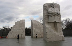
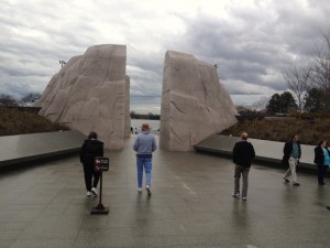
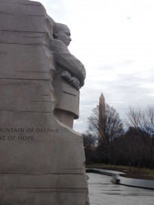
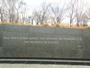
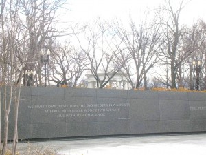
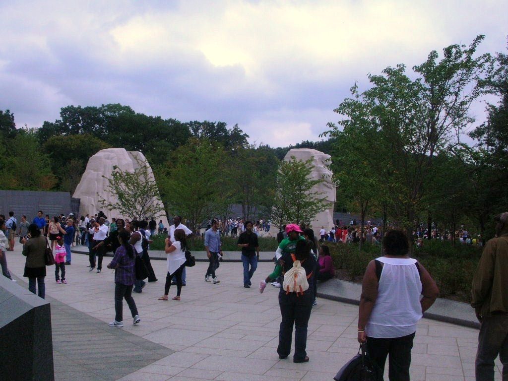
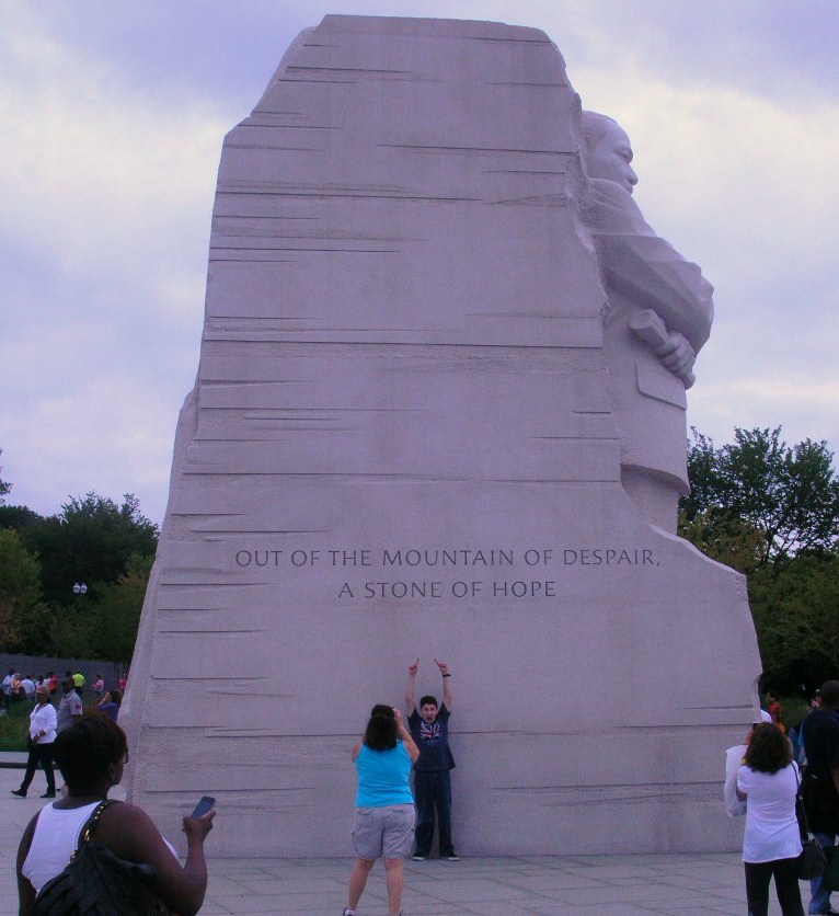
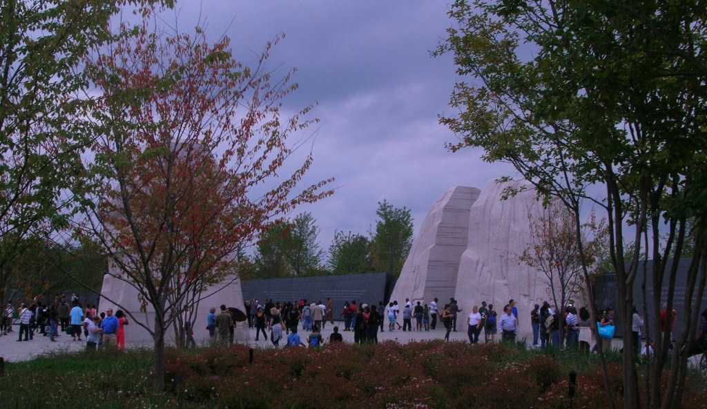
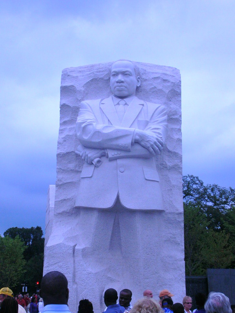
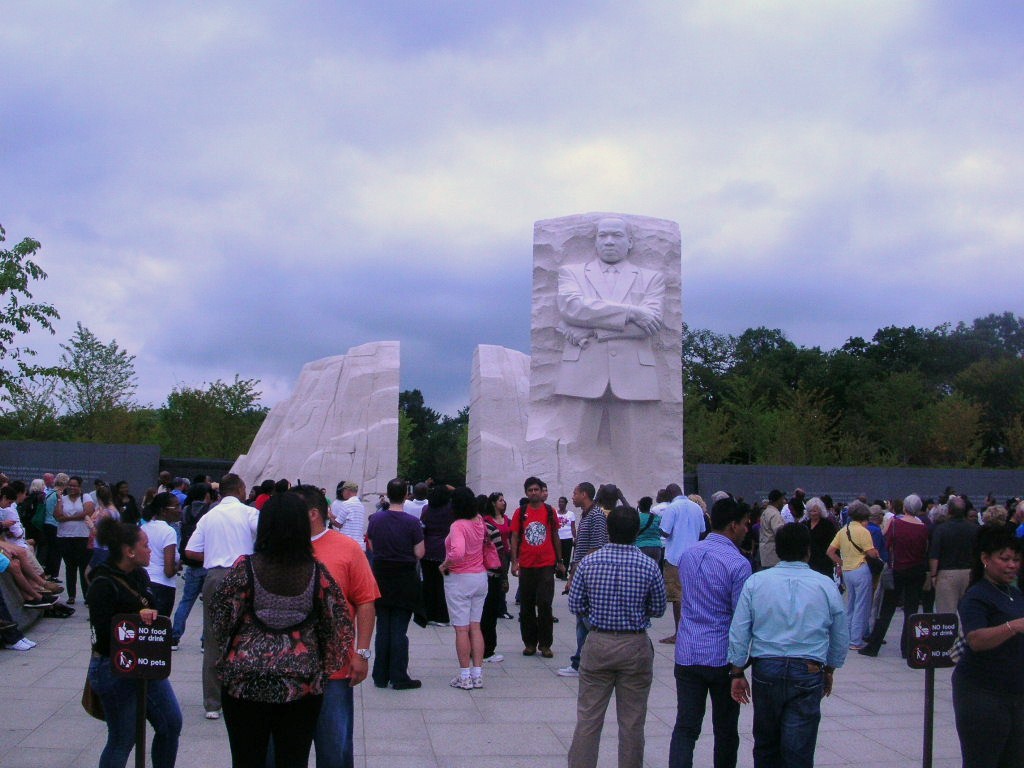
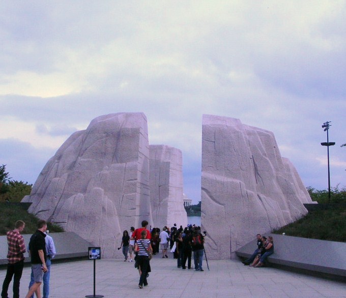
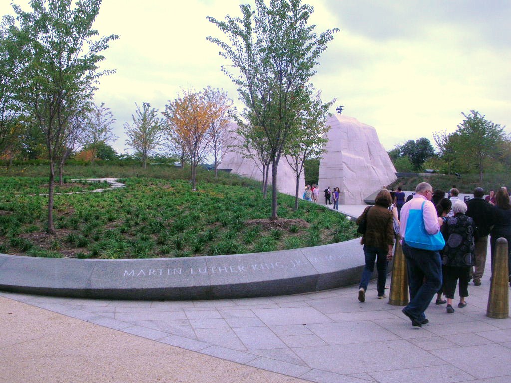
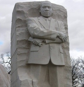
Our first stop was to be the new Dr. Martin Luther King, Jr. Memorial on the Mall adjacent to the Tidal Basin and the FDR Memorial and in line between the Jefferson Monument and the Lincoln Memorial. We had visited before and the monument is truly impressive and somewhat emotional for me, at least. There was a young woman with her cameraman there from the Voice of America (VOA) broadcasters. She was interviewing visitors and asking folks to share their opinions and impressions of the man who is recognized largely for his work and stance on civil rights and his position on peace, including voicing objections to the Vietnam War.

This visit, we chose to participate in the Park Rangers tour/talk. He spoke a bit about King himself and also offered some information about the monument itself and some of the controversy that accompanies it.

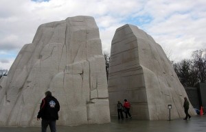
The main rocks are made of pink shrimp granite, which we had never heard of before. First, it’s less pink than pink granite and was imported from China because pink shrimp granite is not available in this country. The carving of the likeness was also performed in China as

the talent for this size statue is no longer readily available in the US.

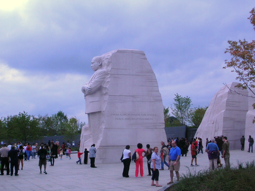
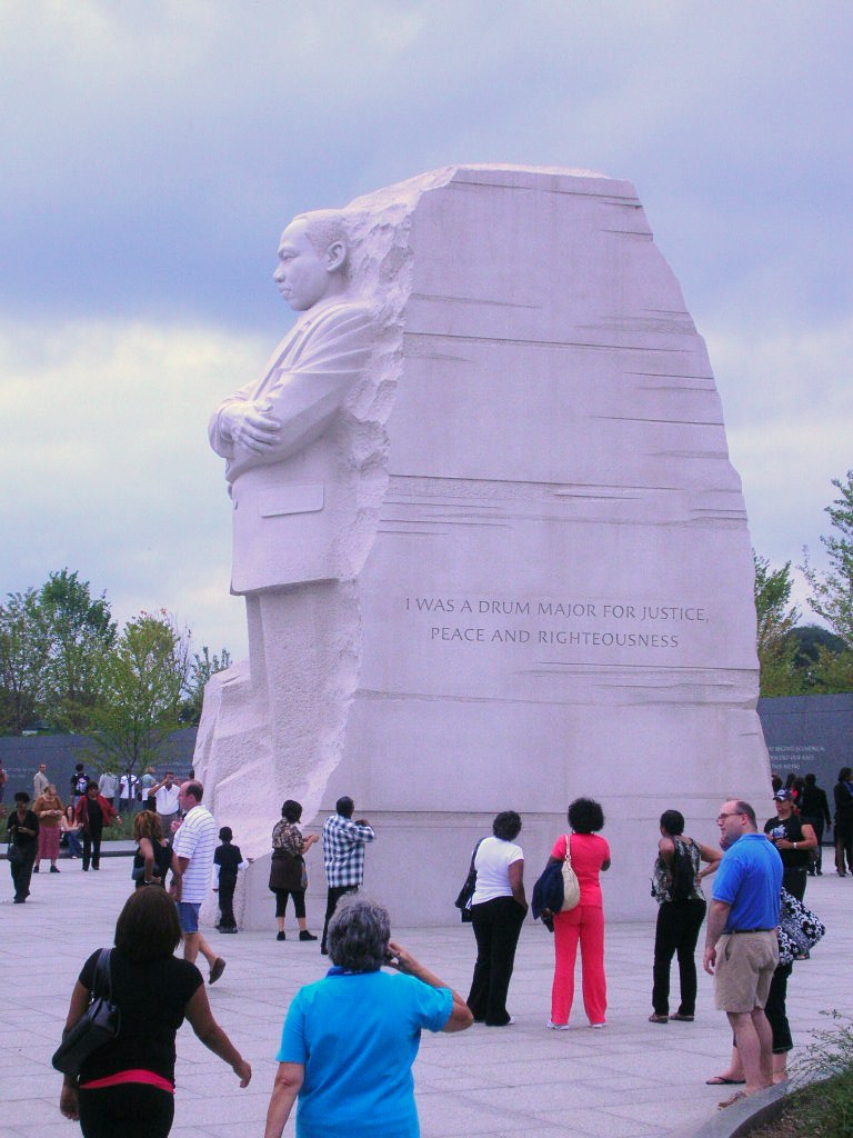
There is also some controversy regarding the inscription on on one side of the large statue. The inscription appears as “I was a drum major for justice, peace and righteousness.” In context, King said “If I was anything, I was a drum major for justice, peace and righteousness.” The concern is that the shorter quote reflects an egotistical attitude that King didn’t have.

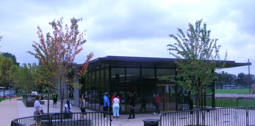
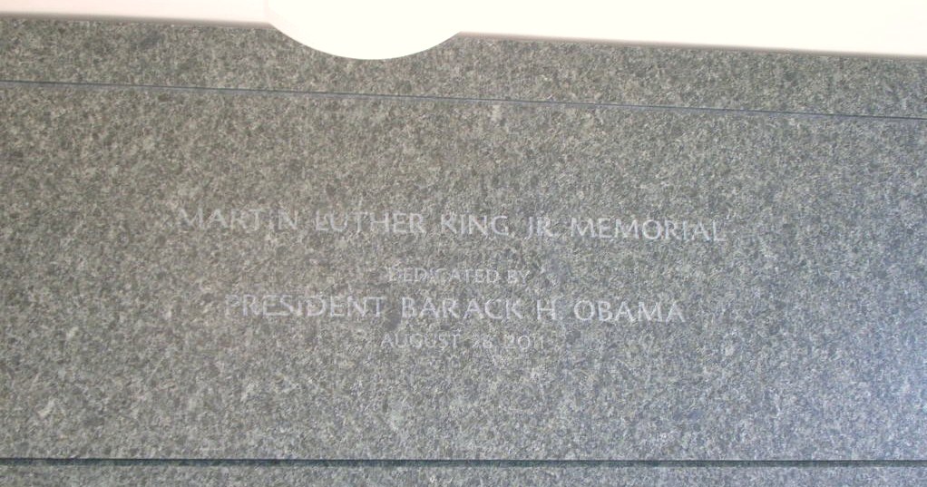
The NPS store at the monument was closed for the day due to an upgrade of the computer software but we did get to peek in the window to see that the dedication engraving still shows the August 28, 2012 date. The dedication ceremonies were re-scheduled for October due to Hurricane Irene passing through the area.

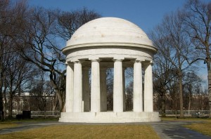
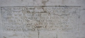
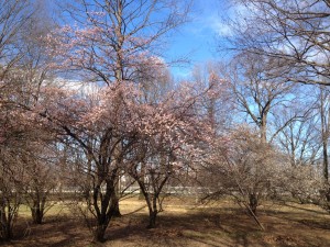
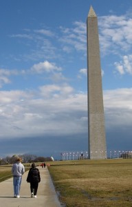
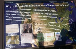
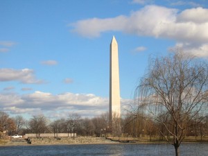
We crossed the street and visited one of the oft-overlooked memorial on the Mall, the District of Columbia World War One Memorial. This commemorates those residents of the District who gave their lives in WWI. It’s made of white marble. Recently it gained attention on the floors of Congress when DC Delegate Eleanor Holmes Norton spoke in favor of preserving its original purpose rather than expanding its role to include others from WWI. One surprise (especially for late January) was blooming cherry trees! It’s been a mild winter but really!Daughter Ryan has been temping downtown lately and we had decided to have her join us for lunch. As we started heading that way, we passed by the Washington Monument. In truth, there aren’t many places you can go where you don’t see the Washington Monument. It’s temporarily closed though.

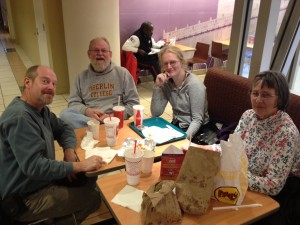
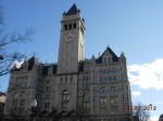
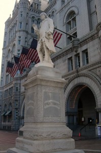
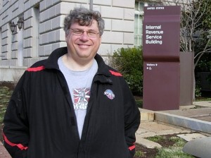
We walked over to retrieve her from the secret confines of her latest assignment and then went to the Food Court at National Place. Steve and Russ got lunch from Five Guys, Betty and Keith chose Moe’s and Ryan got sushi. Nice lunch where everyone got to choose something different and we managed to meet the time constraints to get Ryan back to work on time and we continued on our touring after taking a little time to check out the Old Post Office building, Ben Franklin and Steve got his picture taken with the sign for the folks who did his most recent audit. (Just to be clear, that seemed to go well although he was waiting on a final disposition on some of his deductions.)

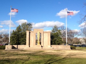
We walked along Constitution Avenue and took a break at 14th Street and then continued to the Ellipse where we saw the Monument to the 2nd Infantry Division. Somehow that one hadn’t shown up in our travels or conversation before.

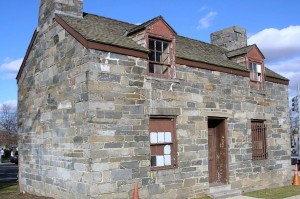
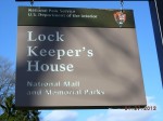
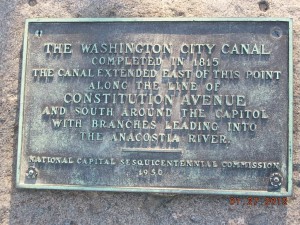
We crossed over to the Lockkeeper’s House for the old Washington City Canal at the corner of 16th and Constitution.

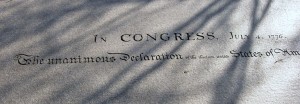
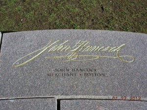
Speaking of things we’ve not seen nor heard mentioned, did you know there is a Monument to the signers of the Declaration of Independence?

It’s located along Constitution across from 18th and between the Lockkeeper’s House and the Vietnam Memorial.

We continued on the Mall but that’s subject for another post.

Dr. Martin Luther King and the Dreams

On the holiday in 2012 that commemorates his life, the news cycle is consumed by the election process and pointing fingers at “those people” who are responsible for the failings in our Government. It should go without saying that the thrust of these remarks are that “we” are doing everything we can and “they” are doing everything possible to prevent us accomplishing good.

To save man from the morass of propaganda, in my opinion, is one of the chief aims of education. Education must enable one to sift and weigh evidence, to discern the true from the false, the real from the unreal, and the facts from the fiction.

Martin Luther King, Jr.

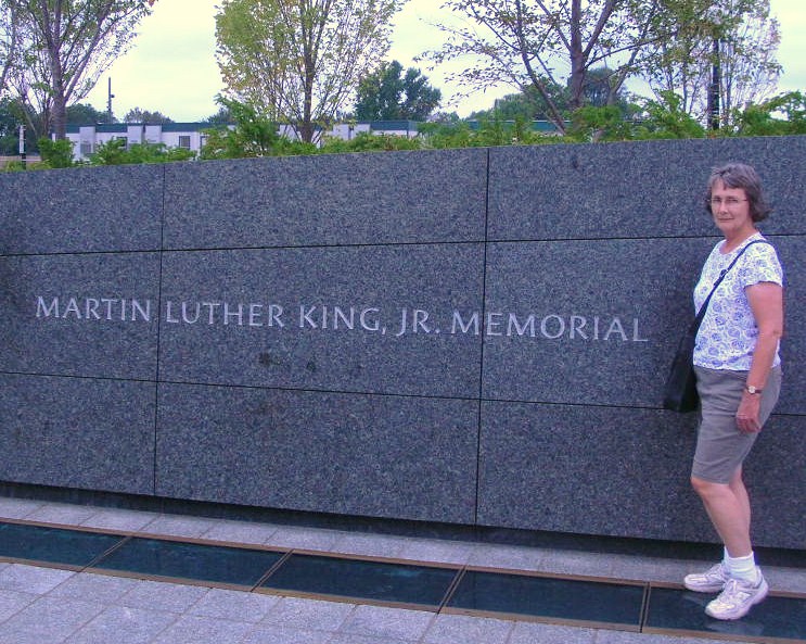
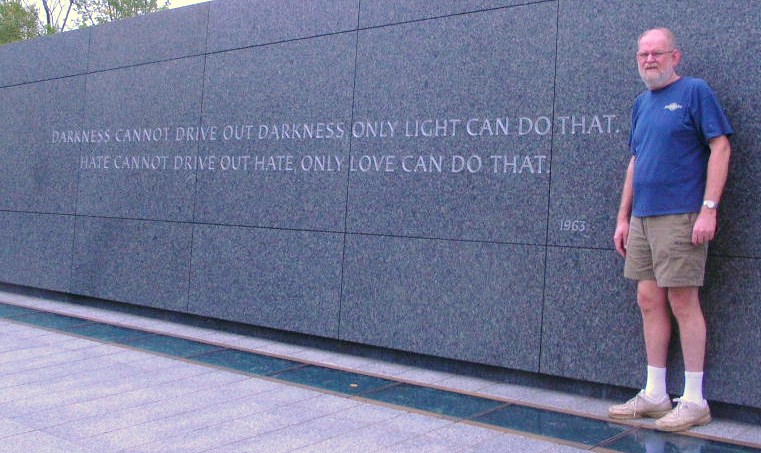
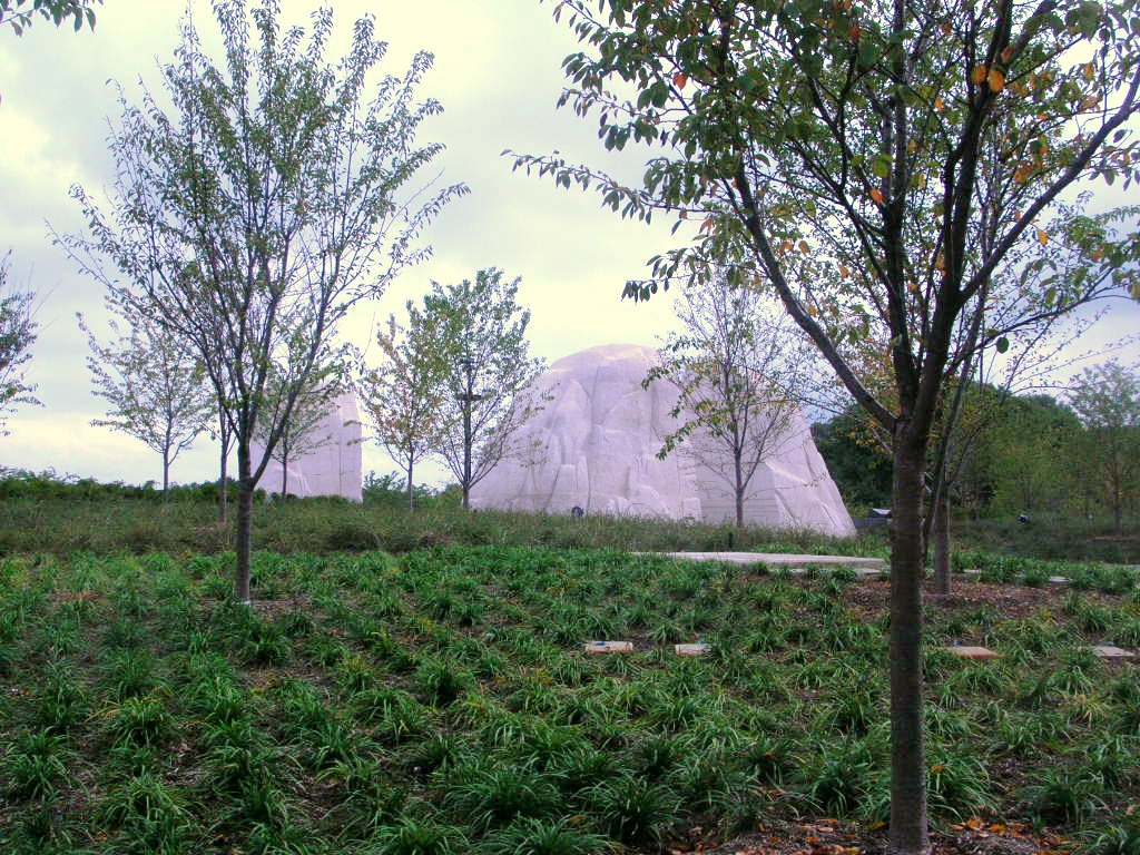
Flashback, if you will, to September 24, 2011, Betty and Keith visited the recently-opened memorial to Dr. Martin Luther King on the National Mall in Washington, DC. We are going to share some pictures we took that day in September of the Memorial. It should be on your list of places to visit. Come with an open mind and with sufficient time to “soak” in the dreams of Dr. King.
In these sour, pessimistic times, it is important to remember the great lesson of King’s remarkable life: Impossible dreams can come true.
This is not a partisan message; King was every bit as tough on Democrats as Republicans. His activism even transcended ideology. His call for social justice and his opposition to the Vietnam War were rightly seen as liberal, but his insistence on the primacy of faith and family was deeply conservative.

Eugene Robinson

Dedication Plague

The dedication date reflects the original planned date. The arrival of Hurricane Irene postponed the dedication until October 16, 2011.

 Martin Luther King, Jr.
(January 15, 1929 – April 4, 1968)

May he rest in peace. May his dreams keep good men and good women from resting too comfortably too soon.

New Year’s Day Traditions

New Year’s Day is one of those holidays that is steeped in traditions, some of which are predictors of future events, some of which are actions designed to influence future events.

For many years, Daddy would arise well before daylight and make his way to his his cousin’s farm to hunt quail. He often hunted there and it was believed to be good luck if the first visitor of the New Year was male. My Grandma Holman believed whatever you did on New Year’s Day would be repeated throughout the year. Grandma lived next door and avoided cooking and housework that day. It was one of the few holidays that she really took to heart in her observance.Our family lore includes the story of my Mother, taking advantage of a day off from work and Daddy being out of the house, was doing laundry and hanging it out on clothesline in our backyard. Grandma observed Mother hanging laundry and rushing out to get her to stop as it would doom her doing housework all year. I guess Daddy hunting and visiting with his cousins really fit in with that, too.

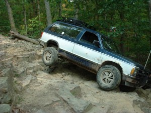
In carrying on the family tradition, for the last decade, I’ve made a point to be spending the day in the woods with friends. It’s usually been with whatever four wheel drive club but 2012 finds me “unaffiliated” with a club. My friend, Miles and I decided to head down to George Washington National Forest and ride some trails we’d not ridden in a long time that were remembered as being fairly easy. Since there were only the two of us, we both went in my truck so that we could do some catching up as well.

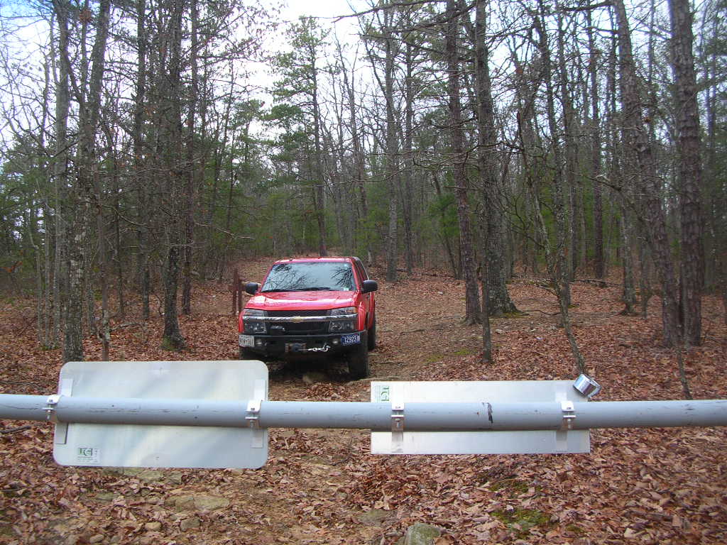
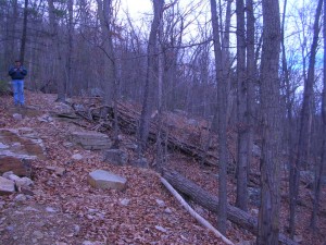
We got to Harrisonburg late morning and headed towards the lower end of the Second Mountain Trail. It had been a long while since either of us had been there and it was an entertaining ride, just enough challenge but not so difficult as to interfere with the verbal exchange! After we got to the ATV loading area at the top, we started the trail along the top of Dictum Ridge which is part of the Rocky Run ATV loop.Where Rocky Run turns to go down from the ridge and over towards Second Mountain, Dictum Ridge is now closed to motor vehicle travel. Find us on a SPOT map

No vehicles past this point

Dictum Ridge 2012

"Before" picture from Dictum Ridge taken in 2001

Halloween at the Beach: Part 5 – Have to head home

Although its been great fun, it must come to an end.

Monday morning we woke up relatively early and were checked out and on the move about 9:00. We stopped in Kill Devil Hills to fill the truck. The Shell station had an interesting layout. There were 6 or 8 pumps on 3 or 4 parallel islands. Traffic was so that everyone came in from the same side of the corner and then went to the islands. Cash or credit didn’t matter, just pump and go. With the traffic pattern, everyone went out by passing the cashier sitting in a drive up booth. The lines were orderly and not having to prepay cut the lines and time to accomplish your business and move along.
We decided to follow the GPS to see what way they would send us around or through Norfolk this time. The routing got us off the 168 toll road expressway and on a surface street that took us into Virginia Beach via the Centerville Parkway. This was a new one to us. We got onto I64 a few miles before the Hampton tunnel.

Our next stop was lunch at Pierce’s Pitt BBQ in Lightfoot near Williamsburg. That’s a frequent stop for us as the food is good, the prices reasonable and the in and out relatively easy.
Although it threatened rain, it never hit us and we made good time to the Springfield interchange about 4:30. Traffic wasn’t as bad as we figured and the new configuration for the I66 interchange kept the backup limited to the right two lanes allowing us to continue on to slow at the Tyson’s Corner construction. With two of us, we were able to use the HOV lanes on I270 and made it home about 5:30 which was ahead of the trick or treaters.

This trip and the one in the spring are highlights for me and recharging the internal batteries. Unfortunately, Tuesday meant back to work.


Halloween at the Beach Part 4: Tying Up Loose Ends

Sunday the skies were sunny but the wind was still whipping albeit with less force than on Saturday and the temps were in the 50s. Janet and Bruce called from the Diamond Shoals where we joined them for breakfast before they headed for home. (Jeremy and Rosemary had left earlier.)  After farewell wishes for a safe journey, Betty and Keith decided to go back to Ocracoke to further the pursuit of known shipwrecks.

The ferry was just finishing loading and we were the last car onboard. The ride over was less exciting than either trip the day before. As happens seemingly too often, Keith was mistaken for someone else and we were approached by fellow travelers who believed Keith was an old high school chum but it lead to a friendly conversation included a look at the strangers wind screen contraption made from 2×2’s about 6 feet long with silt fence stretched between to block the blowing sand. He indicated it worked fairly well on the sand but still allowed too much wind to keep really warm.

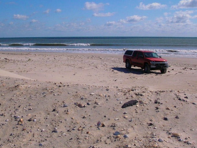
We entered the beach at the northern most Ocracoke ramp and turned towards the north point. The island has grown since last spring with this area covering more territory. The texture was the hard damp sand we had seen on the southern end on Saturday. We scoped it out then turned south towards a wreck believed to be about ½ mile north of the Ocracoke Pony Pens. At the GPS-designated point, we noted nothing indicative of a shipwreck although we were adjacent to an area of dunes that had been replenished since Irene. The beach was relatively narrow here and we found we were very very close to the highway as well.

We turned back to the ramp and headed into the town of Ocracoke for quick trip to the welcome center gift shop and then off to Ramp 72 to try once again for the shipwreck noted to be there. Since today’s weather was better, we were able (willing) to walk across the dunes to search. We never made it to the west side shore of the point but sighted something n the marshgrass but we weren’t prepared to walk/wade to get close up.

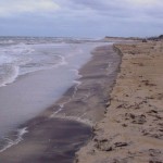
There was more loose sand making small dunes and large ripples on this section of the beach so that staying back from the water resembled a roller coaster.

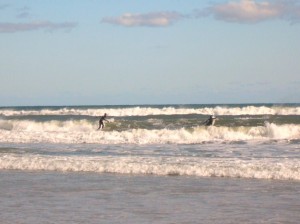
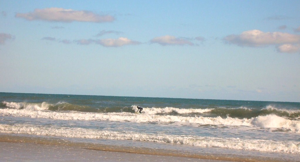
We turned north on the beach to check for more shipwrecks and condition of the shore. There were a few fishermen and others enjoying the beach. We even saw a couple of folks trying to surf but the waves weren’t really cooperating.
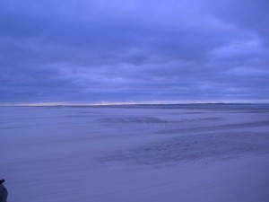

As we passed Ramp 67, there was no indication that there was not another ramp ahead but we eventually reached the end of the open to vehicles part of the beach and turned around to leave at Ramp 67.

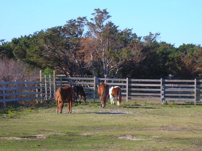
There was one more shipwreck indicated on Ocracoke Island just north of the pony pens so we stopped at the crossover there. Several of the ponies were out in the pen so we walked over and took a few pictures. We also learned a few things that made the Ocracoke ponies unique including two fewer vertebrae than other horses, fewer ribs and denser bones.
We then headed up the beach on foot in search of one more but it eluded us as well. Total for our long weekend had us finding two confirmed sightings on Hatteras Island and one maybe on Ocracoke. It later occurred to us that several previous trips had a goal which we had not met because of ferry schedules or darkness or hunger but this time, without trying, we had managed to cover ALL of the drivable ocean side of Ocracoke Island!

We caught the ferry back to Hatteras. We had ridden the ferry 4 times this weekend and not ridden the same one twice. This time we were onboard the Chicamacomico which was pictured on the postcard back to the folks at home.

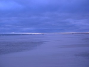
One place we had missed in our travels that is always part of our trip was a ride out to the point and past the Cape Hatteras Light. The approach by the campground and where Ramps 43 and 44 meet the pavement was underwater as we had learned before arriving. It’s on National Park Service property but for some reason doesn’t drain and hasn’t for a while. One can’t help but think it contributes to the mosquito population that plagued the island after Hurricane Irene. This beach had obviously had more traffic than any other beach we had been to this weekend. We drove out to the point and around but would have needed to drive across water if we hadn’t turned back. We made our way back to the pavement and off to dinner.
Dinner was at Rusty’s, one of our favorites and tonight didn’t disappoint. Broiled bay scallops for Betty and a Caribbean-spiced snapper for Keith followed by New York style cheesecake (not too dry) and with a light glaze on the plate of raspberry and mango gels with coffee for a near-perfect finish for the meal and our weekend.

We aired up the tires on the truck and made fresh coffee to fill the thermos bottles for the trip home and we were set after returning to shower and off to bed. We head home on Monday.

Halloween at the Beach: Part 3 Visiting the Moonscape

Saturday morning we headed over to the Red Drum for a headlight and a tire gage as I discovered the digital gage in the console had a dead battery. While there, I met Mr. John Couch of OBPA and internet fame. He is president of the OBPA, one of the organizations fighting to maintain access for pedestrians, sportsmen and other folks who use the Cape Hatteras National Seashore Recreation Area for recreation. In conversations with Rob Schonk, the principal in the Robert and Jean Schonk Foundation, Rob recommended that I make the time to make Mr. Couch’s acquaintance. After installing the new headlight, we headed to Frisco and Wave Hopper to gather Bruce, Jeremy and Rosemary for some time on the beach.

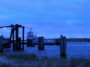
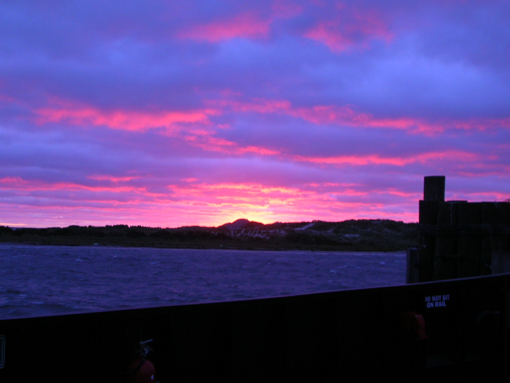
We headed over to Ocracoke in spite of the weather forecast. The day was to be windy and the forecast was accurate on that account. The predicted rain held off however. The wind was strong off the sound and made the landing of the ferry somewhat exciting with the captain using the pilings to bounce his way into the slip.

We headed to Howard’s Pub, one of our favorite lunch spots. Bruce had the chowder, Betty had grilled shrimp, Keith had marinated tuna steak, Jeremy had the tuna steak sandwich and Rosemary had the grilled tuna salad. The food was excellent as usual. After lunch, we headed into town to do a little shopping and found our way to Mermaid’s Folly and Craftsmen Paradise on Howard Street. It was a successful trip. Everyone found something to their liking and connected on some items which we couldn’t find.

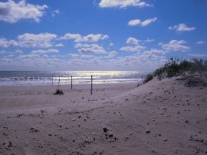
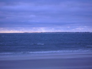
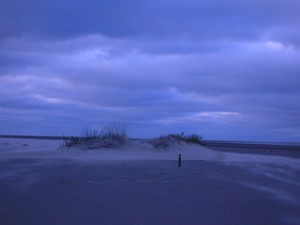
Next we headed for the beach, more particularly the South Point. It was a surreal sort of moonscape actually having been flattened with only the occasional small dune still there. The wet sand was pretty hard requiring the four wheel drive rarely. Looking over the inlet to Portsmouth Island you could see shafts of sunlight coming through.

The loose sand was blowing across the hard wet sand making interesting patterns and beginning to form ridges and small dunes.

As we headed back towards the ramp off the beach, we noticed a pair in a pickup that seemed to be making more downward progress than forward. It was a pair of fisherman whose four wheel drive was malfunctioning. After lending them a shovel which wasn’t enough to get them out, a tug on our towstrap got them back over to the hard surface and on their way. As we got to the ramp, Bruce saw Jeremy and Rosemary headed up the ramp and began to follow them off the beach and back towards the ferry on Highway 12. Keith and Betty lost sight of him but decided that was the direction he was headed. Of course, Keith and Betty also had Jeremy and Rosemary in the rearview mirror. After failing to see Bruce, we gave him a call to inform him that he was lost as we did not know where he was. It turns out that Bruce was following a different dark-colored F150. But as it was getting time to head back to Hatteras Island, it worked out for the best.
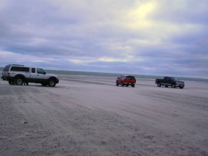
We commented earlier about the difficulties getting the ferry into the dock but the weather had worsened and the docking of the ferry to take us back was quite a spectacle. One gets torn between fascination with the difficulty in putting the ferry where it belongs and admiration to the captain for doing so in spite of the conditions. At one point, the ferry was perpendicular to the slip and hard against all three pilings and the engines roaring at near full throttle with little effect. Eventually the ferry came into the slip and we pulled out only a few minutes after our scheduled 5:30 departure. We found out Sunday that the ferry had stopped running with the 6:30 departure Saturday evening. Had we stayed on Ocracoke for dinner, we may have stayed the night or whenever the schedule resumed.

The five of us had dinner at Diamond Shoals Restaurant in Buxton and bade our farewells to our friends. Across the street to our hotel and the nightly computer checks, tv, shower and bed.

Halloween at the Beach: Part 2 Hunting for Shipwrecks and the Aftermath of Irene


Friday, Betty and Keith had breakfast at the Hatteras Island Inn (formerly the Comfort Inn) and then set about our day which included a stop at the Really, Really Free Market in Salvo. Friends at home had filled two storage containers with needed and requested items. We had a piece of carpet and some clothing to contribute as well. The carpet remnant, we were told, was being set aside for a local 80 year old woman who had been through this ordeal without insurance and was putting things at home back together.

Betty and Keith had set out to locate some of the many shipwrecks for which we had found GPS coordinates. After finding one last spring, that seemed like it would make for fun.

As we headed north from Salvo, we took a bit more time to check off the main highway for remaining damage. The KOA campground was open for business. They had cleared the portion near the ocean and were working their way back toward the highway. The camping cabins (basically shell sheds with built-in bunk beds) looked to be basically undamaged but had been floated off their footings. The ones that appeared undamaged had water damage to worry about but were structurally sound. The bathhouses all had siding taken away to allow drying out.

The Chicomacomico Lifesaving Station was closed. Reports on the interwebs had indicated there was much cleanup to be done as well as resetting on footers.

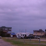
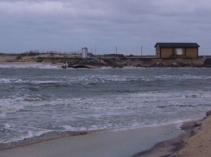
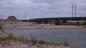
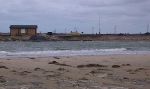
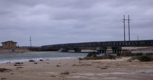
We drove again over the new bridge and stopped to get some pictures by walking through the dune line to the beach and coming around. The speed with which the current moved through the inlet was impressive. I’ve tried to get some pictures but am not sure they really convey the current. It makes one wonder how much more the inlet will open in the unfortified sections with time. We stopped at the Coquina Beach day use area to see if we could find the remains of the shipwreck there. Like most of the wrecks, changing sand profiles will expose or cover from season to season. We didn’t find it this time.

Next we headed further north to Nags Head for lunch. Having heard so much about Sam and Omie’s across from the new pier. They were busy and we had about a 20 minute wait. The food was good, the clientele and food were local as well. Betty had the mushroom and crab soup and an order of onion rings. Keith had the scallop cake Sam-wich, think crab cakes make with scallop bits. If we lived nearby, they would be on our regular rotation for lunch but don’t qualify for driving 50 miles just to eat there. Good and repeatable but not a special treat to work for. When we came out, it had started to rain lightly.

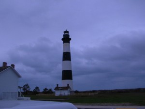
We turned south again to the Bodie Island Lighthouse. Bodie Island Light was/is under a major renovation. When the funding ran out, they took down the scaffolding until more funding allows them to continue the work. The light is removed from the structure for now and will be replaced when the renovations resume.

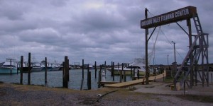
Next stop is the Oregon Inlet fishing pier. During Irene, all the fishing boats left for less exposed locations. The flooding damaged the piers which delayed the reopening and return of the fleet. Now with new piers installed, life appears to be near normal again.

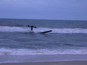
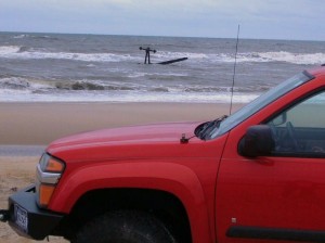
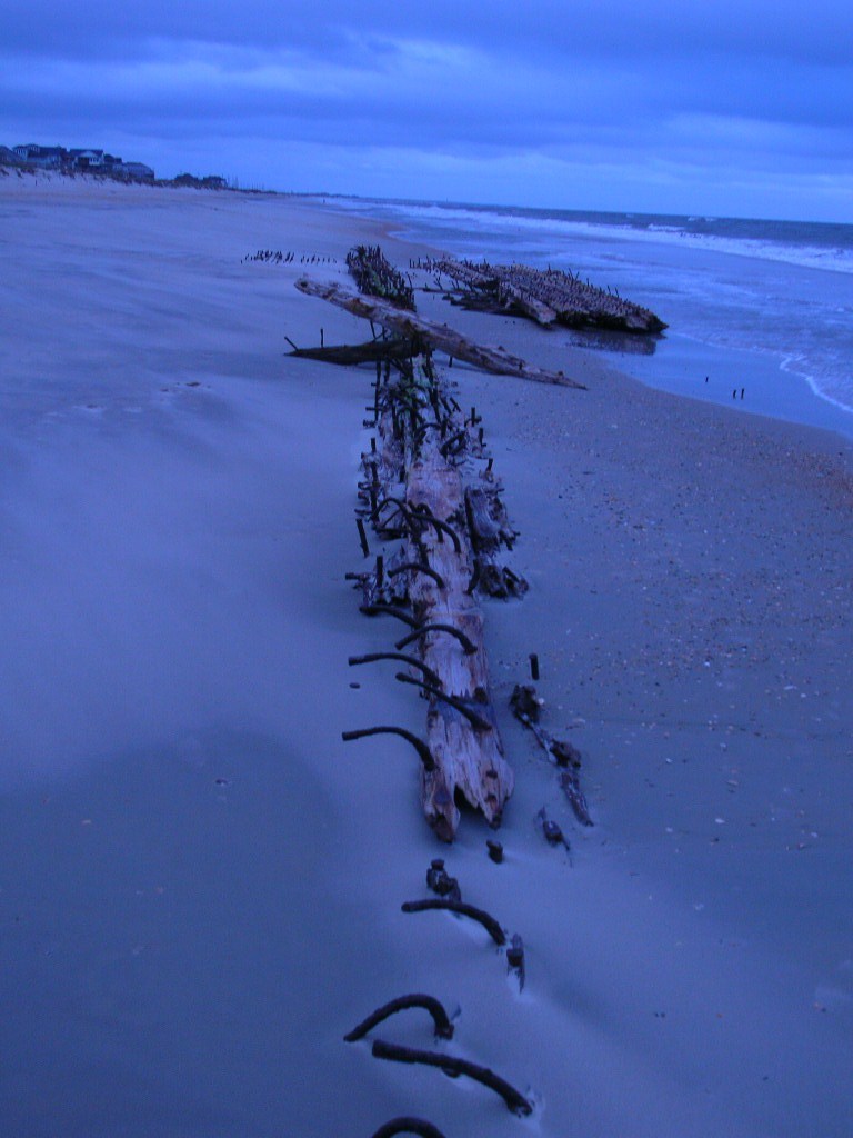
Before leaving home, we had entered the GPS coordinates for several known shipwrecks which are sometimes visible from the beach. As we passed Salvo, we noted three showed on our track as being nearby. We entered the beach access ramp 23. The GPS coordinates revealed three near to the ramp. The first was just as you entered the beach. According to the coordinates, we were literally right on top of it. If the coordinates were correct, this particular wreck wasn’t visible at this time but there were two others in the vicinity. As we drove north on the beach, we saw what looked like it could be a buoy that had blown up on the beach similar to one we had seen on a past trip to Carova. As we got closer, we realized that we had found the remains of a sidewheeler that had wrecked on the beach in 1862. It was just offshore, inside the breakers. The pieces we saw were iron and probably the remains of part of the propulsion machinery. We were 1 for 4.

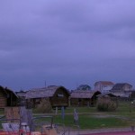
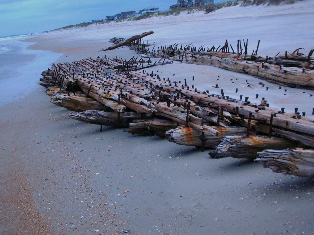
We moved further down the island and decided that timing was such we could probably hit the shopping area at the ferry landing and move on to another wreck site that we had seen last spring. The remains of an unidentified ship, probably a schooner, can be found at the end of Flambeau Road in Hatteras Village. We parked and walked over the low dune line on a boardwalk. Considerably more of the wreck was visible than had been in either of our spring visits. We then joined Jeremy and Rosemary, Bruce, and Janet for dinner at the rented house, Wave Hopper. As we pulled in the carport, we noticed a nail lying on the concrete. As we looked around, we noticed a few more, and then a few more. By the time we had arrived at the top floor, we had picked up easily two dozen or more ranging from roofing nails to siding nails to 10 penny galvanized nails. Apparently a roofer had been doing some patchwork after the hurricane and been less than meticulous about picking up loose nails. To the best of our knowledge, no one’s tires helped us pick them up. Our delicious dinner was a cooperative effort on their part and included salad, red potatoes and individual shrimp and scallop casseroles. Accompanying our dinner was a Chilean grape merlot which had been bottled by Jeremy. For dessert, Rosemary had made a sweet potato pie. We enjoyed our meal and some fine company afterwards.

We headed for the hotel around 9:30. It’s about a 6 mile drive and midway we met a Dare County Sheriff’s Deputy coming the other way. Just as we pull even with him, he flashes the blue lights and pulls a u-turn after we pass. Assuming he is responding to an emergency call, we slow down and move over to let him pass but he just stays right behind us with the blues flashing. We pull over and turn on the interior lights while waiting for him to walk up and introduce himself and state his business. It turns out we have blown a headlight and he is concerned for our safety since the local deer population has been rather active. In fact, we had observed a pack of raccoons the previous night.

After asking where we were going and where we had been, he advises us of an auto parts store near our hotel and asks if I’d had anything to drink. I honestly replied that I’d had a glass of wine with dinner several hours earlier. He asks for my license and goes back to his car. When he returns, he has the mobile breathalyzer and asks for a sample. He goes back to the car and returns a few minutes later and informs me that I’m not impaired. While a number of things pass through my mind, the only thing out of my mouth (thankfully the filter was working) was thank you and have a good night.

We head back to the hotel, check email, and get ready for bed.

Halloween at the Beach: Part 1

We got underway around 10:00 Thursday morning. This trip is somewhat traditional for us as we have headed to the beach on Halloween weekend for several years. The trip has had several labels, including the S10 trip, CORE and Friends and now Keith and Friends as the attendee list varies from year to year although the numbers have dwindled. I think this may be among our lowest turnout for the October trip as there are six of us: Betty and Keith, Jeremy and Rosemary, Bruce and Janet. But the numbers aren’t as important as the people themselves and the trip itself.

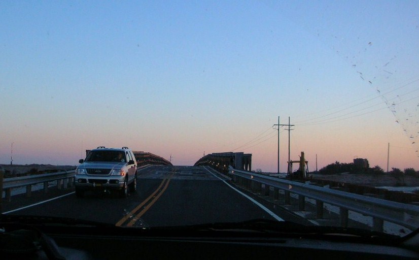
Because of the devastation wreaked on the northern end of Hatteras Island by Hurricane Irene, the trip itself had been in doubt but NC DOT managed to get the temporary bridge across New New Inlet, the break in Pea Island which had cut off access from the islands to go north on Route 12. The only access for some time was via an emergency ferry for residents only, then later access was available via a 2.5 hour ferry ride from Swan Quarter to Ocracoke Island and then the 45 minute ferry from Ocracoke Island to Hatteras Village at the lower end of Hatteras Island. The temporary bridge opened about two weeks ago and all access has been restored to the Islands. You can still see significant damage to the northern villages of Rodanthe, Waves and Salvo. Some of the best coverage and photographs of the current state and the damages can be seen at www.IslandFreePress.org.

We stopped at the Aunt Sarah’s pancake house at Exit 104 which has become a staple for us. We arrived at Buxton about 6:30 (a little later than we had planned) and gave Janet and Bruce a call after we got checked in. They turned out to be a little bit behind us and we made arrangements to meet at the Captain’s Table for dinner. Jeremy and Rosemary also came up from Frisco (they had arrived earlier) and joined us. It was good to do some catching up as well as enjoy the excellent food and service. After dinner, we decided to join them at Wave Hopper (the house they rented) for some more conversation and Bruce shared some great music with us. Jeremy, especially since retiring from USN after 21 years earlier this month, had been making some wine which he shared. Excellent! Bruce had also stopped in Raleigh and delivered a couple of internet purchases I was making. We headed back to the motel with plans to get together Friday for dinner at the house.