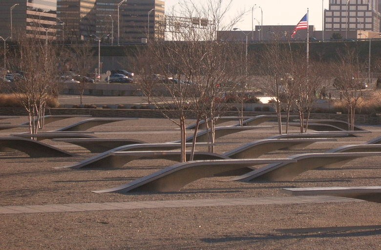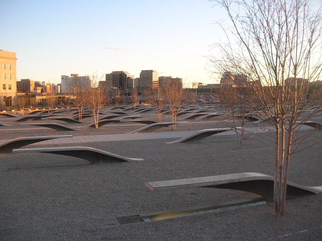
Summer 2014: Alaska via the AlCan; Flight 93 Memorial and Home Again, Wrap Up

We are often given to rushing the last part of the trip wherever we go. A trip to visit family In Florida will sometimes turn into a marathon one day ride home. A trip to the beach will find us looking at each other late in the evening and saying “let’s just go on home” and arriving at midnight. Aware of this tendency, we tried not to do it this time. One consequence of that behavior is that we often don’t visit the places closer to home while telling ourselves we’ll visit as a day trip from home and then keep putting it off until later.
DSCF9218
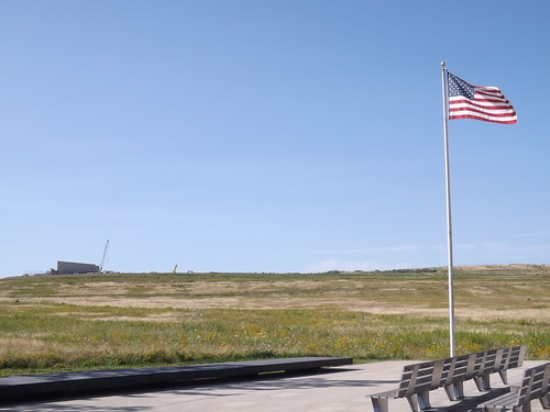
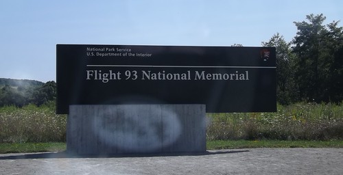
This time, prompted by pictures shared by our friend Tra Maslar, we stopped instead of driving past the Flight 93 Memorial in Stony Creek township, 2 miles north of Shanksville PA. We stopped for lunch in Shanksville and then followed the signs to the Memorial.
DSCF9213
Being recent history, most of us remember where we were and what we were doing when Flight 93 crashed on September 11, 2001. Briefly, of the four aircraft hijacked by terrorists on September 11, Flight 93 is the only one that did not reach its intended target, presumed to be the US Capitol building in Washington, DC. Several passengers and crew members made telephone calls aboard the flight and learned about the attacks on the World Trade Center and the Pentagon. The passengers decided to mount an assault against the hijackers and wrest control of the aircraft to prevent it reaching its target. While successful, all 44 people onboard (including the four hijackers) died in the process.
DSCF9215
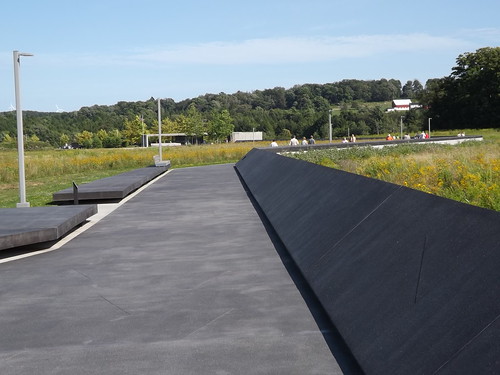
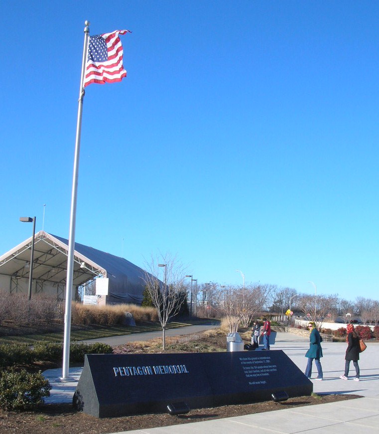
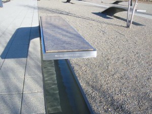
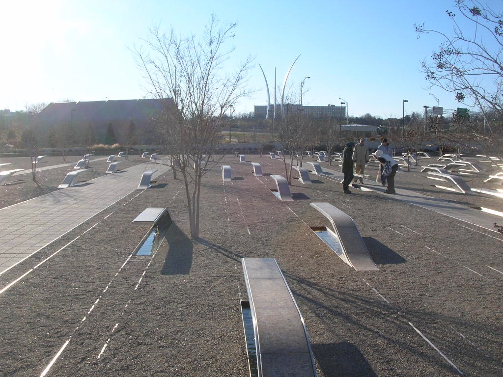
We have visited the memorials at WTC and Pentagon sites. Flight 93 crashed in a field in the countryside. The memorial itself is predominantly built but the supporting structures (visitor center and grounds) are still under construction. Since our visit, a fire at the NPS administration building has destroyed the flag that flew over the Capitol that day but most of the remainder of the memorial collection is safe.
DSCF9217
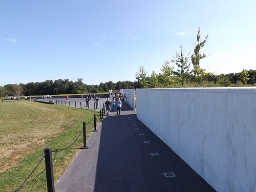
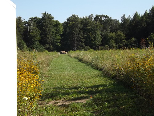
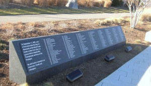
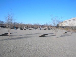
Each of the 40 heroes are named on one of the white stones at the right above. Looking at the site from this vantage point, you are looking along the path the airplane took as it crashed and went along the ground, stopping near the boulder shown in the picture below.
DSCF9221
DSCF9222
Although it’s been 13 years, the memorial still tugs at some tender spots and memories of that awful day. The memorial is a fitting tribute to those 40 brave men and women who sacrificed themselves for others.
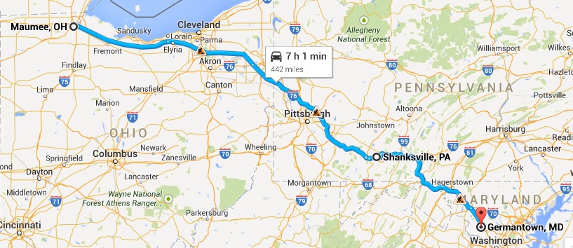
OH2MD_map

11,704 driven miles later, we are home. Looking forward to sleeping in our own bed. We appreciate how truly blessed we are to live in such a beautiful place and to have the time, money and health to make this trip together.

  • We live in a great and beautiful country. Get out there and see it while you can.
  • Schedules and reservations have their advantages but the spontaneity of driving until you’re ready to stop will lead to some worthwhile surprises. If things aren’t going according to plan, revise the plan instead of spinning up. It may work out even better than planned.
  • It was a surprise to us how many places have WiFi. Although of varying quality, its often free. Some places don’t have food nearby but have WiFi.
  • Cell phone coverage is pretty good even in sparsely populated areas but the cost of using your phone internationally can be steep. Surprisingly, the OnStar phone in the truck was the lowest per minute price while in Canada although it was high-priced for US usage.
  • Most hotels are non-smoking these days but it was surprising to us how many of the large chains had smoking rooms.
  • People are friendly. If you take the time to talk to them or make yourself open to conversation (in some cases that means a willing listener), its easy to be part of a conversation even when you don’t know anybody. Everyone has a story if you’re willing to listen to it.
  • Preparing for the unexpected is a plus. Two spare tires are not too many. Two batteries are not too many. A refrigerator/freezer with some food comes in handy.
  • A suitcase full of clothes for all kinds of weather proved to be superfluous.
  • I still think that tollroads need to have an option for pay as you go with cash.
  • A supply of cash is handy but using a credit card with the credit union making the conversions can be economical.
  • Hotels may vacuum daily and wipe down the horizontal surfaces but the carpets need to be cleaned (shampooed) once in a while.
  • Take the time to poke around the small town off the interstate even if you’re just stopping for gas or food.
  • We stop about every 2 hours and get out, even for a few minutes. We both feel better at the end of the day.
  • It bears repeating – Get out there and enjoy it now.

You can see all of the pictures from this leg of the trip here.
Don’t forget the trip calendar we put together at CafePress. We think it turned out pretty well and would make a great holiday gift. calendar
Thanks for following along and your comments. We hope its been worth your time.
Where shall we go next?

Summer 2014: Alaska via the AlCan; Little Big Horn National Monument

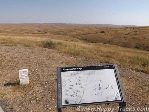
Little Big Horn National Monument sets in south central Montana far away from any large cities. We stayed overnight in Hardin, MT about 16 miles away on the edge of the Crow Agency land.
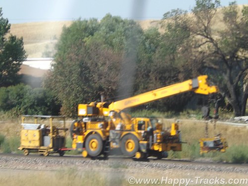
Paralleling (roughly) the highway between Hardin and the monument is a railroad track which might not generally be notable but this particular day there was a convoy of track maintenance equipment on the move and we got a couple of pictures since we usually see this type of equipment waiting to go rather than moving down the track.
DSCF8992
Little Big Horn National Monument memorializes the U.S. Army’s 7th Cavalry and the Sioux and Cheyenne in a famous battle. During the course of our visit, we heard about the actual battle as well as some perspective on how the battle came to be.
For the most part, the battlefield is just the landscape. There are markers, a road, the visitors’ center and a veterans’ cemetery. It is a place where quiet introspection and retrospection is possible.
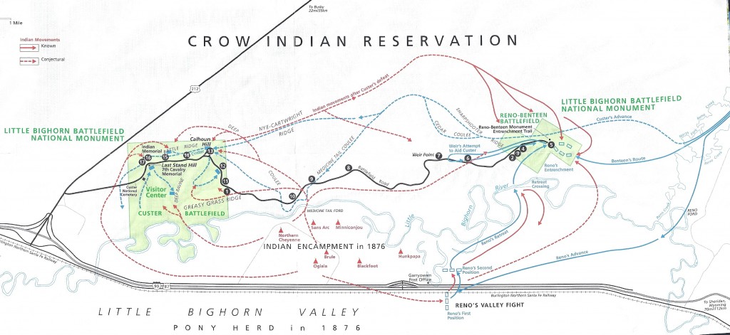
lbhmap
The map above is from the NPS information sheet. I suggest you enlarge it in a separate window or tab for reference.
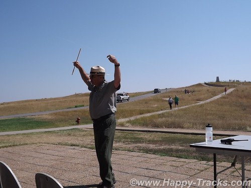
At our hotel the night before, one of the other guests told us about the interpretive ranger presentation and recommended we attend. Ranger Interpreter Adelson gave quite an animated presentation of the battle. So animated that at the conclusion, he needed to sit down and recuperate a bit before fielding questions. Very impressive.
DSCF9012
The Battle of the Little Bighorn was fought in a landscape of ridges, steep bluffs, and ravines of the Little Bighorn River. The combatants were warriors of the Lakota Sioux, Northern Cheyenne, and Arapaho tribes, battling men of the 7th Regiment of the U.S. Cavalry. The Battle of the Little Bighorn has come to symbolize the clash of two vastly dissimilar cultures: the buffalo/horse culture of the northern plains tribes, and the highly industrial/agricultural based culture of the U.S. This battle was not an isolated soldier versus warrior confrontation, but part of a much larger strategic campaign designed to force the capitulation of the nonreservation Lakota and Cheyenne.
In 1868, many, but not all, Lakota leaders agreed to a treaty, known as the Fort Laramie Treaty that created a large reservation in the western half of present day South Dakota and required that they give up their nomadic life and settle into a stationary life, dependent on Government-supplied subsidies. The stationary life on the reservation would have the added benefit of avoiding conflict with other tribes in the region, with settlers, and with railroad surveys. Lakota leaders such as Sitting Bull and Crazy Horse rejected the reservation system as did many roving bands of hunters and warriors and felt no obligation to conform to the treaty restrictions, or to limit their hunting to the land assigned by the treaty. Their sporadic forays off the set aside lands brought them into conflict with settlers and enemy tribes outside the treaty boundaries.
DSCF9003
Tension escalated in 1874, when Lt. Col. Custer was ordered to make an exploration of the Black Hills inside the boundary of the Great Sioux Reservation. He was to map the area including identifying a suitable site for a future military post. During the expedition, professional geologists discovered deposits of gold. Word of the discovery of mineral wealth caused an invasion of miners and entrepreneurs to the Black Hills in direct violation of the treaty of 1868. The government made attempts to keep the settlers out of the Black Hills but that was unsuccessful. The U.S. negotiated with the Lakota to purchase the Black Hills, but the offered price was rejected by the Lakota as the land was sacred to the Indians. The climax came in the winter of 1875, when the Commissioner of Indian Affairs issued an ultimatum requiring all Sioux to report to a reservation by January 31, 1876. The deadline came with virtually no response from the Indians, and matters were handed to the military.
DSCF9005
General Philip Sheridan, commander of the Military Division of the Missouri, devised a strategy that committed several thousand troops to find and to engage the Lakota and Cheyenne, who now were considered “hostile”, with the goal of forcing their return to the Great Sioux Reservation. The campaign was set in motion in March, 1876, when the Montana column, a 450 man force of combined cavalry and infantry commanded by Colonel John Gibbon, marched out of Fort Ellis near Bozeman, Montana. A second force, numbering about 1,000 cavalry and infantry and commanded by General George Crook, was launched during the last week of May, from Fort Fetterman in central Wyoming. In the middle of May, a third force, under the command of General Alfred Terry, marched from Fort Abraham Lincoln, Bismarck, Dakota Territory, with a command comprised of 879 men. The bulk of this force was the 7th Cavalry, commanded by Lt. Col. George Armstrong Custer.
It was expected that any one of these three forces would be able to deal with the 800-1,500 warriors they likely were to encounter. The three commands of Gibbon, Crook, and Terry were not expected to launch a coordinated attack on a specific Indian village at a known location. Inadequate, slow, and often unpredictable communications hampered the army’s coordination of its expeditionary forces. Furthermore, it must be remembered that their nomadic hunting put the Sioux and their Cheyenne allies constantly on the move. No officer or scout could be certain how long a village might remain stationary, or which direction the tribe might choose to go in search of food, water, and grazing areas for their horses.
The tribes had come together for a variety of reasons. The well watered region of the Powder, Rosebud, Bighorn, and Yellowstone rivers was a productive hunting ground. The tribes regularly gathered in large numbers during the spring to celebrate their annual sun dance ceremony. The sun dance ceremony had occurred about two weeks earlier near present day Lame Deer, Montana. During the ceremony, Sitting Bull received a vision of soldiers falling upside down into his village. He prophesied there soon would be a great victory for his people.
DSCF8996
On the morning of June 25, the camp was ripe with rumors about soldiers on the other side of the Wolf Mountains, 15 miles to the east, yet few people paid any attention. In the words of Low Dog, an Oglala Sioux, “I did not think anyone would come and attack us so strong as we were.”
On June 22, General Terry decided to detach Custer and his 7th Cavalry to make a wide flanking march and approach the Indians from the east and south. Custer was to act as the hammer, and prevent the Lakota and their Cheyenne allies from slipping away and scattering, a common fear expressed by government and military authorities. General Terry and Colonel Gibbon, with infantry and cavalry, would approach from the north to act as a blocking force or anvil in support of Custer’s far ranging movements toward the headwaters of the Tongue and Little Bighorn Rivers. The Indians, who were thought to be camped somewhere along the Little Bighorn River, “would be so completely enclosed as to make their escape virtually impossible”.
DSCF9014
On the evening of June 24, Custer established a night camp twenty-five miles east of where the battle would take place on June 25-26. The Crow and Arikara scouts were sent ahead, seeking actionable intelligence about the direction and location of the combining Lakota and Cheyenne. The returning scouts reported that the trail indicated the village turned west toward the Little Bighorn River and was encamped about twenty-five miles west of the June 24 camp. Custer ordered a night march that followed the route that the village took as it crossed to the Little Bighorn River valley. Early on the morning of June 25, the 7th Cavalry Regiment was positioned near the Wolf Mountains about twelve miles from the Lakota/Cheyenne encampment along the Little Bighorn River. Today, historians estimate the village numbered 8,000, with a warrior force of 1,500-1,800 men. Custer’s initial plan had been to conceal his regiment in the Wolf Mountains through June 25th, which would allow his Crow and Arikara scouts time to locate the Sioux and Cheyenne village. Custer then planned to make a night march, and launch an attack at dawn on June 26; however, the scouts reported the regiment’s presence had been detected by Lakota or Cheyenne warriors. Custer, judging the element of surprise to have been lost, feared the inhabitants would attack or scatter into the rugged landscape, causing the failure of the Army’s campaign. Custer ordered an immediate advance to engage the village and its warrior force.
At the Wolf Mountain location, Custer ordered a division of the regiment into four segments: the pack train with ammunition and supplies, a three company force (125) commanded by Captain Frederick Benteen, a three company force (140) commanded by Major Marcus Reno and a five company force (210) commanded by Custer. Benteen was ordered to march southwest, on a left oblique, with the objective of locating any Indians, “pitch into anything” he found, and send word to Custer. Custer and Reno’s advance placed them in proximity to the village, but still out of view. When it was reported that the village was scattering, Custer ordered Reno to lead his 140 man battalion, plus the Arikara scouts, and to “pitch into what was ahead” with the assurance that he would “be supported by the whole outfit”.
The Lakota and Cheyenne village lay in the broad river valley bottom, just west of the Little Bighorn River.
DSCF8999
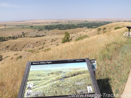
As instructed by his commanding officer, Reno crossed the river about two miles south of the village and began advancing downstream toward its southern end. Though initially surprised, the warriors quickly rushed to fend off Reno’s assault. Reno halted his command, dismounted his troops and formed them into a skirmish line which began firing at the warriors who were advancing from the village. Mounted warriors pressed their attack against Reno’s skirmish line and soon endangered his left flank. Reno withdrew to a stand of timber beside the river, which offered better protection. Eventually, Reno ordered a second retreat, this time to the bluffs east of the river. The Sioux and Cheyenne, likening the pursuit of retreating troops to a buffalo hunt, rode down the troopers. Soldiers at the rear of Reno’s fleeing command incurred heavy casualties as warriors galloped alongside the fleeing troops and shot them at close range, or pulled them out of their saddles onto the ground.
Reno’s now shattered command recrossed the Little Bighorn River and struggled up steep bluffs to regroup atop high ground to the east of the valley fight. Benteen had found no evidence of Indians or their movement to the south, and had returned to the main column. He arrived on the bluffs in time to meet Reno’s demoralized survivors. A messenger from Custer previously had delivered a written communication to Benteen that stated, “Come on. Big Village. Be Quick. Bring Packs. P.S. Bring Packs.” An effort was made to locate Custer after heavy gunfire was heard downstream. Led by Captain Weir’s D Company, troops moved north in an attempt establish communication with Custer.
Assembling on a high promontory (Weir Point) a mile and a half north of Reno’s position, the troops could see clouds of dust and gun smoke covering the battlefield. Large numbers of warriors approaching from that direction forced the cavalry to withdraw to Reno Hill where the Indians held them under siege from the afternoon of June 25, until dusk on June 26. On the evening of June 26, the entire village began to move to the south.
The next day the combined forces of Terry and Gibbon arrived in the valley bottom where the village had been encamped. The badly battered and defeated remnant of the 7th Cavalry was now relieved. Scouting parties, advancing ahead of General Terry’s command, discovered the dead, naked, and mutilated bodies of Custer’s command on the ridges east of the river. Exactly what happened to Custer’s command never will be fully known. From Indian accounts, archeological finds, and positions of bodies, historians can piece together the Custer portion of the battle, but not with absolute certainty.
DSCF8998
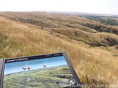
It is known that, after ordering Reno to charge the village, Custer rode northward along the bluffs until he reached a broad coulee known as Medicine Tail Coulee, a natural route leading down to the river and the village. Archeological finds indicate some skirmishing occurred at Medicine Tail ford. For reasons not fully understood, the troops fell back and assembled on Calhoun Hill, a terrain feature on Battle Ridge. The warriors, after forcing Major Reno to retreat, now began to converge on Custer’s maneuvering command as it forged north along what, today, is called Custer or Battle Ridge.
Dismounting at the southern end of the ridge, companies C and L appear to have put up stiff resistance before being overwhelmed. Company I perished on the east side of the ridge in a large group, the survivors rushing toward the hill at the northwest end of the long ridge. Company E may have attempted to drive warriors from the deep ravines on the west side of the ridge, before being consumed in fire and smoke in one of the very ravines they were trying to clear. Company F may have tried to fire at warriors on the flats below the National Cemetery before being driven to the Last Stand Site.
About 40 to 50 men of the original 210 were cornered on the hill where the monument now stands. Hundreds of Lakota and Cheyenne warriors surrounded them. Toward the end of the fight, the soldiers killed their horses and used their bodies as defensive shielding. In the end, the warriors quickly rushed to the top of the hill, cutting, clubbing, and stabbing the last of the wounded. Superior numbers and overwhelming firepower brought the Custer portion of the Battle of the Little Bighorn to a close.
The battle was a momentary victory for the Sioux and Cheyenne. General Phil Sheridan now had the leverage to put more troops in the field. Lakota Sioux hunting grounds were invaded by powerful Army expeditionary forces, determined to pacify the Northern Plains and to confine the Lakota and Cheyenne to reservations. Most of the declared “hostiles” had surrendered within one year of the fight, and the Black Hills were taken by the U.S. without compensation.
General Custer has often been portrayed as arrogant and somewhat foolish for starting the attack and maybe he was. We were somewhat shocked to overhear a woman telling the child with her to put back the Custer souvenir “You don’t want that. He’s an asshole.” . In the War of Northern Aggression/War Between the States/Civil War (mixed audience here), he was noted for fighting against the odds and winning. His widow was given the table used to sign the surrender papers as testament to his role in ending the war militarily. The National Park Service has a discussion of General Custer’s military career here. There is also a discussion of Chief Sitting Bull here.
In 1879, the Little Bighorn Battlefield was designated a national cemetery administered by the War Department. In 1881, a memorial was erected on Last Stand Hill, over the mass grave of the Seventh Cavalry soldiers, U.S. Indian Scouts, and other personnel killed in battle. In 1940, jurisdiction of the battlefield was transferred to the National Park Service. These early interpretations honored only the U.S. Army’s perspective, with headstones marking where each fell.
The essential irony of the Battle of the Little Bighorn is that the victors lost their nomadic way of life after their victory. Unlike Custer’s command, the fallen Lakota and Cheyenne warriors were removed by their families, and “buried” in the Native American tradition, in teepees or tree-scaffolds nearby in the Little Bighorn Valley. The story of the battle from the Native American perspective was largely told through the oral tradition.
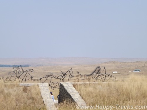
In 1991, the U. S. Congress changed the name of the battlefield and ordered the construction of an Indian Memorial. DSCF9009
In 1996, the National Park Service – guided by the Little Bighorn Battlefield National Monument Advisory Committee, made up of members from the Indian nations involved in the battle, historians, artists and landscape architects – conducted a national design competition. In 1997 a winning design was selected.
Note the term Indian. Its used a lot out here rather than Native Americans or individual nation names. It’s not my intent to offend.

  • 7 December 1886: The site was proclaimed National Cemetery of Custer’s Battlefield Reservation to include burials of other campaigns and wars. The name has been shortened to “Custer National Cemetery”.
  • 5 November 1887: Battle of Crow Agency, three miles north of Custer battlefield
  • 14 April 1926: Reno-Benteen Battlefield was added
  • 1 July 1940: The site was transferred from the United States Department of War to the National Park Service
  • 22 March 1946: The site was redesignated “Custer Battlefield National Monument”.
  • 15 October 1966: The site was listed on the National Register of Historic Places.[4]
  • 11 August 1983: A wildfire destroyed dense thorn scrub which over the years had seeded itself about and covered the site.[5] This allowed archaeologists access to the site.
  • 1984, 1985: Archaeological digging on site.
  • 10 December 1991: The site was renamed Little Bighorn Battlefield National Monument by a law signed by President George H. W. Bush

DSCF9016
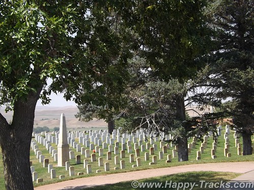
Custer National Cemetery is located at the National Monument grounds. These veterans are from later wars. They stopped accepting new internees in 1978 due to space constraints.
Here are a couple of other Battlefield maps. Open in another tab/window From Smithsonian Magazine
From Mohican Press
You can see all of the pictures from this leg of the trip here.
We invite you to continue along with us and hope you enjoy the account!
butte2glendivemap
Don’t forget the trip calendar we put together at CafePress. We think it turned out pretty well and would make a great holiday gift. calendar

Summer 2014: Alaska via the AlCan; Homer to Haines

After a good night’s rest in Anchor Point, we loaded up and headed back into Homer.
DSCF7861
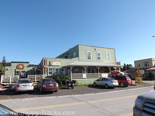
We had one recommendation but went instead to Maura’s Cafe and Deli in the old part of Homer. They looked to be doing a great business and we believe in the old adage to eat where the locals eat.
DSCF7868
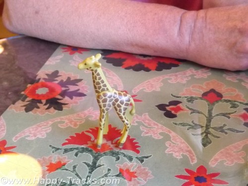
When we went inside, there was a line to order and no seats to be had. By the time we got to place our order a couple of tables had emptied out. We both ordered the quiche and were given a plastic giraffe to take to the table with us instead of a number.
DSCF7862
As we waited, it became clear the morning rush had been a good one and they were running out of things. We enjoyed our meal and went out to explore.
DSCF7870
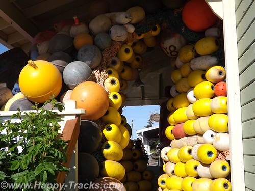
There was an interesting tableau of buoys on the porch of the store next door.
Then we followed the road down to the beach and on out to the Homer Spit. The Homer Spit is 4.5 miles of land sticking out into Cook Inlet and home to both deep water on one side and shallow water on the other. The theories to its origins differ with one suggesting that the Spit is the result of glacial movement and one suggesting that it’s the buildup of sand deposited by the comings and goings of tide and wave action over millennia.
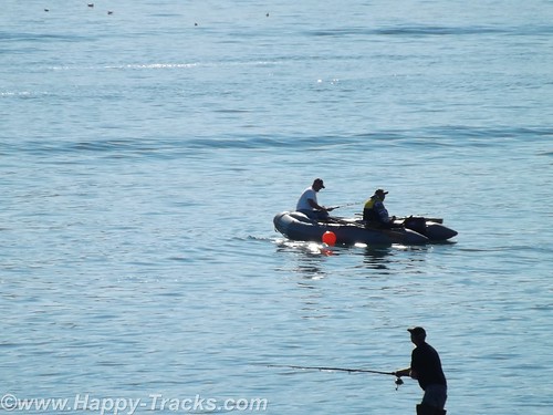
The spit includes a fishing lagoon which is stocked each spring from the nearby salmon hatchery.
DSCF7872
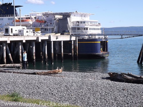
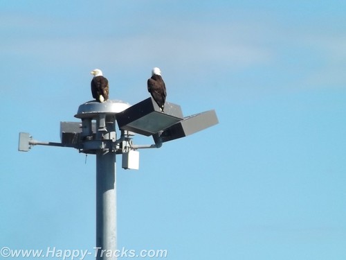
On this particular summer Sunday, the Spit was packed with tourists (just like us) in all manner of vehicles from compact cars and bicycles to huge RVs. At the water end, the M/V Kennicott, part of the Alaska Marine Highway System (ferries operated by the state) was loading. We stopped to watch for a while and then noticed the birds. In this case, the birds were bald eagles. In total we probably saw 4 of them.
DSCF7875
Among other things, Homer is known as the home of the Bald Eagle Lady, Jean Keene. Ms. Keene had been feeding the eagles for years before the town passed an ordinance making it illegal to feed them. One renowned photo of Keene shows her sitting on the ground and feeding 24 of the birds clustered around her. Homer’s ordinance, passed in 2006, granted a reprieve for Keene who had been feeding the birds for 25 years at that time. The reprieve was only to last until 2010 but Ms. Keene passed in 2009.
The eagles, in such abundance, were said to be a nuisance by appearing threatening to humans as well as small dogs and other birds. ABC News reported in 2007 that any close up picture you had seen of a bald eagle was likely taken in Homer. Their presence contributes to the tourism in Homer, even in the winter.
DSCF7888
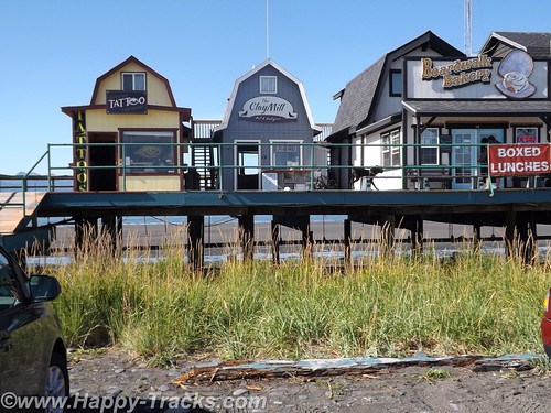
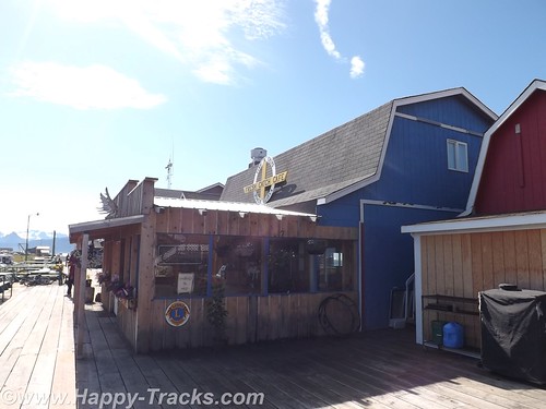
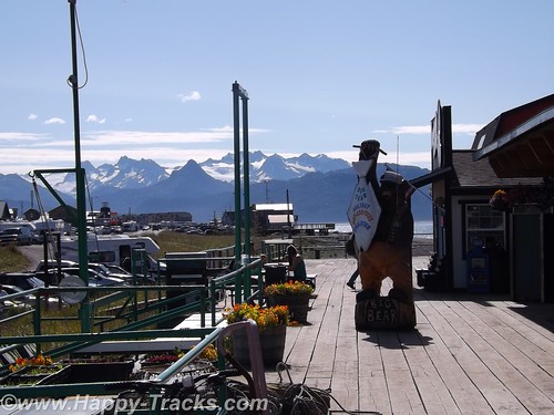
After watching the eagles and the ferry load for a bit, we headed back towards town and stopped at one of several collections of small shops built on stilts above the ground. The shops were an eclectic mix of tour offices (go fishing, climb the visible but distant glaciers, boat tours, etc.) and restaurants and shops of all descriptions. The wares varied from Made in China fare to high end art piece carvings of all sorts.
DSCF7890
We stopped in one shop which sold antiques and curiosities and talked with the shopkeeper. One item he had was an “electrician’s knife”. It was the same style of knife I have in my toolbox with a single sharp blade and a screwdriver that I had since my days in Uncle Sam’s Underwater Canoe Club. If I didn’t already have mine, I would have bought it ($10) on general principle.
DSCF7895
There is also a Seafarer’s Memorial to those lost at sea but we didn’t see it, only found out about it in our research to write this piece. It’s not particularly tall and is on the edge of a parking lot which was filled with campers and vans the day we were there.
DSCF7899
DSCF7897
Feeling that we had seen most of what we wanted to see in Homer and on the spit, we turned inland and generally north headed back towards Anchorage.
DSCF7880
Since there is largely one road in and the same road out, we repeated the same beautiful scenery along the coast and stopped in Soldotna for a late lunch/early dinner at Buckets Sports Grill. The halibut sandwich and clam chowder were just the thing to power us on our way.
We passed through the Funny River fishing region again. There seemed to be more folks out on the riverbanks than there had been the day before but still couldn’t tell if anyone was catching or what they were catching. Traffic was moving well but was a bit heavier through here.
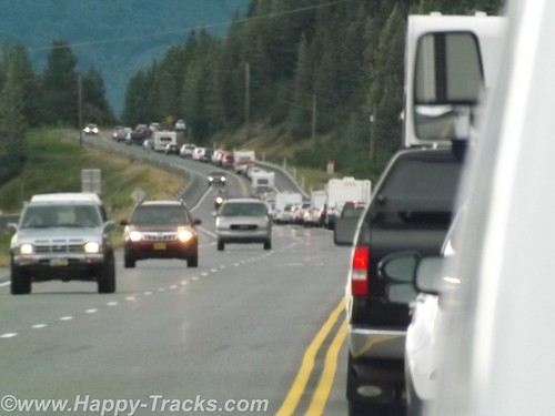
After we passed the Alyeska Resort area, traffic was noticeably heavier and very soon came to a complete stop. At first we theorized an accident up ahead (and there may have been but we never saw signs of it) but it seemed to just be heavy volume of weekend travelers headed home on Sunday evening plus the squeeze from two lanes to one as we squeezed between the mountains and the water as it moved along again as the alternate roads became available going into town.
DSCF7904
This Sunday in Homer marked the halfway point. We had been gone from home 21 days on what was to turn out to be a 42 day trip. We were also as far from home as we were going to be. Google maps shows Homer to be 4,469 miles from home and we had driven 6,581 miles following a different route through the continental US and numerous side trips.
We got on the phone and booked a room at the Golden Lion Best Western in Anchorage. It was time to call it a night.
When we started planning out this trip, we had picked a number of “backup” locations in the vicinity of the Wrangell-St. Elias National Park in case we hadn’t seen them earlier, places like mines and glaciers. With plans to possibly pass through that area, it made sense to book passage on the ferry from Haines to see the Inland Passage. We needed to be in Haines on the ferry on Friday morning or stay another week.
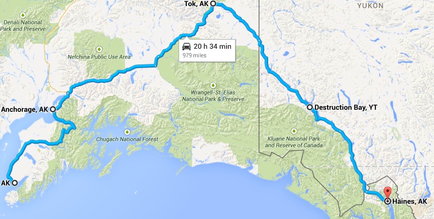
The combination of the reservation plus having seen mines and glaciers and the realization that several of the sites in Wrangell-St. Elias would be rough and slow road in a drive in and then reverse and drive back out the same road lead us to decide to skip Wrangell and concentrate on making our way to Haines, some 975 miles from Anchorage via the roads.
DSCF7906
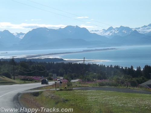
On Monday morning, we started making our way towards Tok via AK-1. This was a different route than when we had left Tok. The scenery was beautiful and the skies were clear, unlike when we had first gone from Fairbanks to Anchorage.
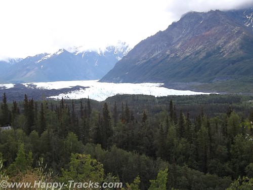
Traveling this way, the roads were more hilly and curved and along the way, we would pass by the Matanuska Glacier. The Matanuska Glacier was described as a “drive-up” glacier, unlike Exit Glacier where one has to climb the hillside to reach the glacier itself.
DSCF7911
Betty describes the side trip to Matanuska as “chasing butterflies”, a phenomenon that was really one of the highlights of this trip. Without a firm agenda or schedule to meet, we were able to chase a butterfly off on a side trip. Matanuska is a valley glacier meaning that it is lower in elevation and occupies the land between two hills or mountains.
DSCF7915
DSCF7919
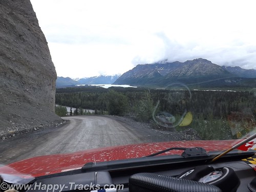
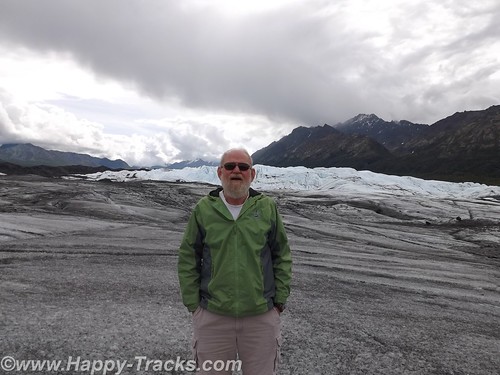
We allowed a half hour or so to make the trip to the drive up glacier just since we were so close. From our vantage point on the highway, you could see the Matanuska Glacier below us in the valley. There was a winding dirt road off the highway to get down to it. We crossed over a narrow high bridge of planks and steel. You continued along until a house and store where you bought your tickets.
DSCF7922
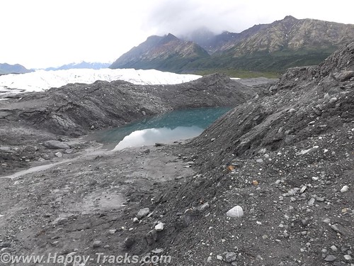
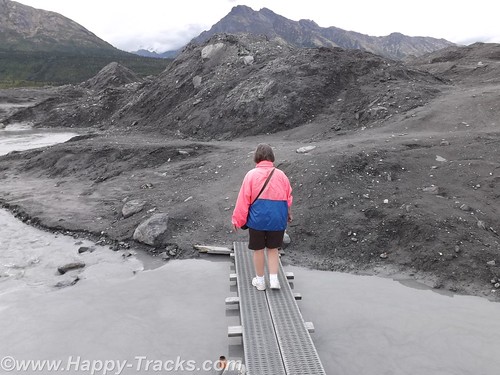
From there, you passed through a gate and then it was about a mile to the toe (foot?) of the glacier. We pulled up in the parking area with the other vehicles and started making our way across the black and wet moraine to the glacier. We walked for a ways before realizing there was a marked path on the other side of the water and walked back towards the truck to reach the path. We later discovered the path started from the other end of the parking lot.
DSCF7930
The way out included planks over some of the wetter and trickier areas. There was a group with a guide who were on their way farther out into the middle area of the glacier with their ice spikes. We stopped for a few pictures along the edge and then began making our way back. A family that looked to include Grandma, Mom and Dad, and the kids met us coming the other way. The passing on the planks required some coordination but we safely passed.
DSCF7952
DSCF7942
About two hours after we had taken the turn on to the dirt road, we were once again on our towards Tok where we stayed again at the Golden Bear Lodge. We have discovered since being home several versions of the origins of the name Tok. Several conflicting sources exist but there is a reference to it being known at Tok as early as 1901. It does represent the junction of the Alaska Highway and a cut-off which allows lower 48 travelers to reach Anchorage and Valdez without proceeding further north to Delta Junction.
DSCF7959
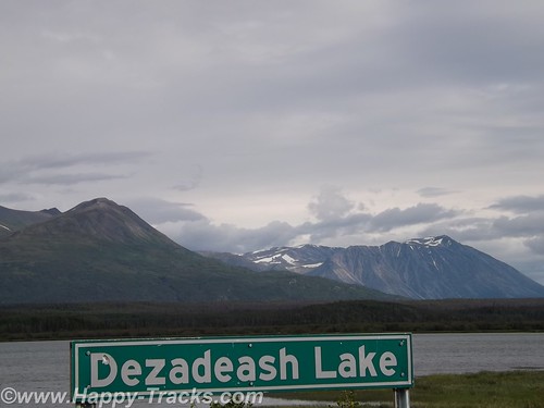
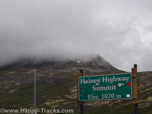
We left the following morning for Canada, crossing into the Yukon Territory and stopping for lunch at Destruction Bay. We continued south past Kluane Lake and took the turn in Haines Junction where we continued through beautiful scenery. This stretch of road is particularly desolate, though in good repair.
DSCF7965
DSCF7970
DSCF7972
DSCF7973
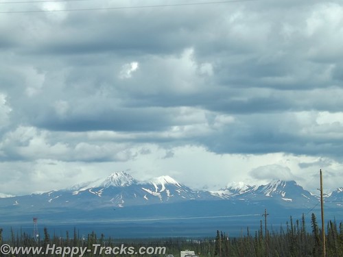
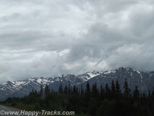
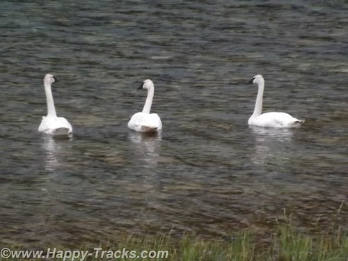
The highlights of this stretch include more mountaintop glaciers, a couple of airstrips and a trio of trumpeter swans alongside the Haines Highway. We also noted several signs advising that snow plows might be in your lane so beware!
About 7:00 that night, we reached the Customs station at the border back in to the US. It looked deserted but we sat and in a few minutes the agent came out of the building. He was friendly and chatty. We hadn’t seen a car in the last 80 miles or so and figured he spent a bit of time by himself unless he walked over to the Canadian side and talked to their agents. He remarked that he didn’t see too many Maryland plates up that way. He also said he didn’t see many from his home state either. We asked where that was and he told us Hawaii. He had the opportunity to come to this station as a temporary summer assignment but assured us he would be back home before winter hit.
Before we left, he gave us the brochure for Haines including a list of lodging. On that road, that’s the only place you could possibly be going. We wished him well and went on our way.
amapHomer2Haines
You can see all of the pictures from this leg of the trip here.
We invite you to continue along with us and hope you enjoy the account!


Summer 2014: Alaska via the AlCan, Mt. Rushmore and Crazy Horse Memorial in SD

On Wednesday morning, we left Wall and made our way through the edges of the South Dakota Badlands toward Mt. Rushmore. We stayed on the interstate although the scenic loop through the Badlands was only 43 miles. We hadn’t yet fully acclimated to the amount of freedom our schedule provided. We were still able to see the Badlands though.
The giant granite carving of Mt. Rushmore is truly an American icon as a monument to freedom and greatness that are close to our hearts. Informally, the sculpture there has become an icon of the Great American Roadtrip Vacation which is somewhat fitting. It turns out that Mt. Rushmore shares more than geography with Wall Drug and the Corn Palace. Mt. Rushmore’s sculpture was intended to encourage tourism and get more people to visit that part of our great country. (By the way, 70 years later its still working as evidenced by our stop and the crowds that accompanied us that day. Annually, nearly 2 million people visit the monument.)
Admission to Mt. Rushmore is free but there is a charge for parking in the multi-level parking structure. Your parking fee is a one-time payment valid for the entire calendar year for that vehicle though.
When initially conceived, the sculpture included Lewis & Clark; Bill Cody and Red Cloud, a Sioux Chief representing heroes of the west. To increase its appeal, a national focus was determined to include the four Presidents we see there today. Doane Robinson, a South Dakota historian, is credited with being the initial champion of the concept.
There are varying (but similar) stories on why each was chosen
DSCF6252
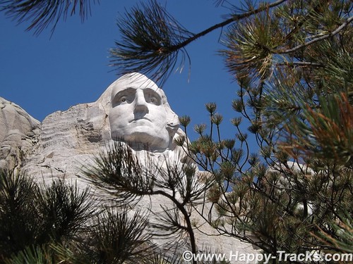
Washington: Birth of a nation and the struggle for independence
Jefferson: Expansion of a nation through the Louisiana Purchase and the belief of a government by the people
DSCF6254
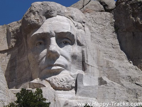
Lincoln: Preservation of the Union and Equality and Permanence
DSCF6279
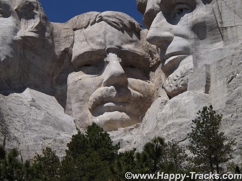
Roosevelt: Economic development of the USA, world prominence or the forward thinking of a National Parks system.
There was some thought of expanding the sculpture in 1937 to include Susan B. Anthony but the legislation precluded expansion, or scope creep. The original plans included sculpting from the waist up but construction stopped as it it is today in 1941. We also ran across at least one reference that Calvin Coolidge declared that the four chosen had to be party-balanced.
With all that background out of the way, I want to make sure to pass along that it is truly magnificent and breathtaking.
DSCF6234
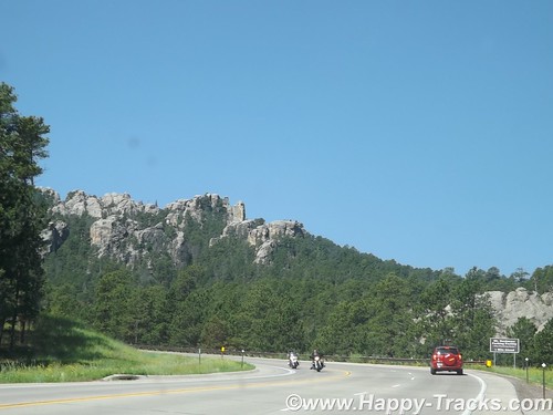
Beginning with the roadway in, the scenery is fantastic and there are ample opportunities to view the surrounding landscapes from various locations.
DSCF6240
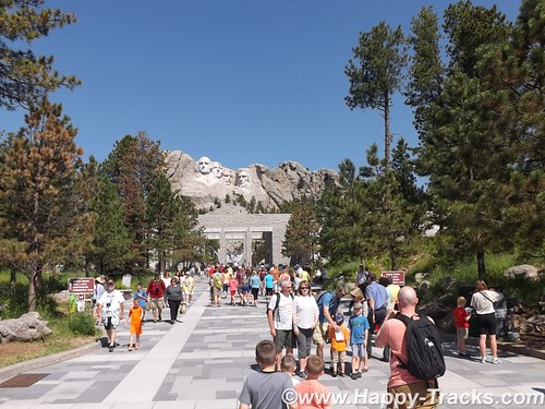
Once you’ve parked, you enter the National Monument by passing the gift shops, information booths, exhibits and eateries. Leaving there, you proceed along a majestic walkway adorned with flags from every state leading towards an amphitheater that allows you to just sit and stare or contemplate.
DSCF6259
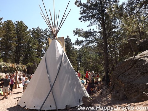
From there, you can walk along a path (handicap accessible) towards the base of the monument. Along this path, you can see a more natural surrounding and eventually reach a display that includes some teepee structures and an exhibit of a small Native American camp with music and a Ranger-provided talk.
From that point, you can look up at George Washington’s chin and proceed further along a trail in front of the base. I’m not certain of the official rating but that part of the trail, while still relatively easy walking seemed to not be accessible to some with handicaps.
DSCF6277
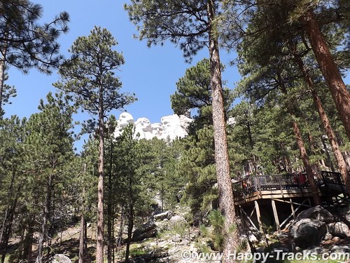
This part of the trail seemed to provide a spot where you could view each President individually.
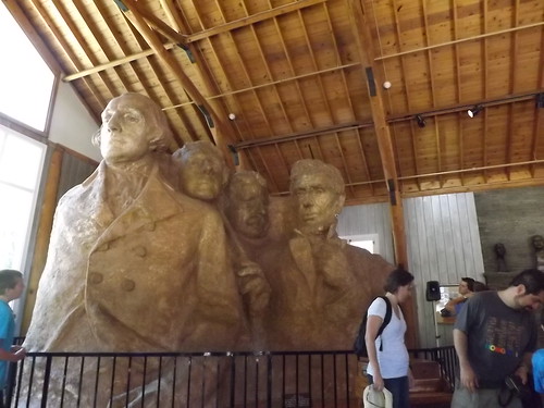
As the boardwalked trail becomes steeper, you eventually wind your way down to the artist’s studio where there are several displays including mockups of the initial sculpture. Outside there is an old generator and compressor setup that was used in the carving.
DSCF6282
Surprising to us, there is a mockup of a Hall of Records, an archival room for documents relating to the construction of the monument. While not initially included, it has eventually been built and really exists behind President Lincoln’s head.
DSCF6293
We climbed the uneven and steep (but solid) stone stairway back up to the entrance plaza were we lunched on bison burgers before checking the gift shop for postcards and continuing on our way to our next stop.
DSCF6340
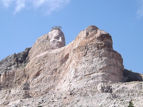
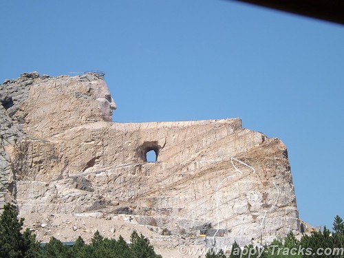
Just 16 miles away, on the other side of Harney Peak in the Black Hills National Forest is a memorial in progress, the pink-granite monument to Crazy Horse. The Crazy Horse monument is privately owned and financed and has refused government funding.
DSCF6315
The Crazy Horse monument’s reluctant sculptor is Korczak Ziolkowski and his descendants. Ziolkowski won a prize in 1939 and was invited by Chief Henry Standing Bear to create a tribute to the North American Indians. Ziolkowski initially declined. Chief Standing Bear said, “My fellow chiefs and I would like the white man to know the red man has great heroes too.”
There was some disagreement about who the model for the sculpture should be and Crazy Horse was eventually chosen as he had a reputation for fairness and a dedication that shunned the limelight.
DSCF6333
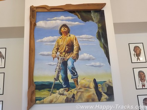
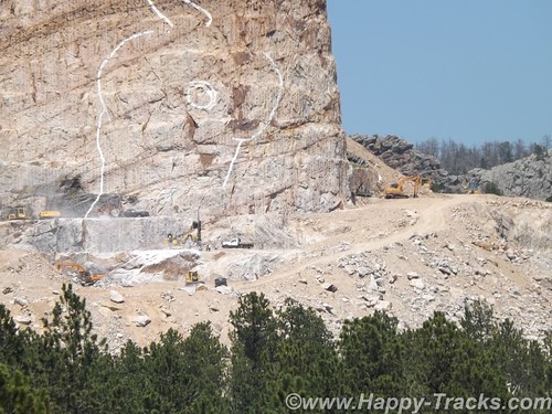
Ziolkowski had worked with Borglum on the final stages of Mt. Rushmore for a time. Conflicting stories appear as to whether he left because the work was done or because of a falling out. At any rate, in 1947, Ziolkowski had been convinced and returned to begin the work. The first blast was in June 1948. As he was working with limited funds, he was also using used equipment and with limited funding, he was often working by himself. He would tell stories of starting the compressor for the drills and beginning the long arduous ladder climb and hear the compressor chug to a halt before he had reached the top and was able to start working, necessitating the long climb down the mountain to restart the equipment and cimb back up.
According to our tour guide, Ziolkowski would work while he had funds and then would stop and do other things, including cutting timber from the property to sell. He also managed to buy up parcels of surrounding land and sometimes trade with the NPS to allow them to build contiguous parcels around Rushmore while he gathered contiguous parcels around the Crazy Horse Memorial.
This is the largest in-progress stone sculpture in the world. By way of comparison, the four Presidents’ sculpted heads (at 60 feet each) could all fit inside the horse’s head.
DSCF6316
Mr. Ziolkowski knew the sculpture could not be completed in his lifetime but he took on the project anyway. To believe in a vision that you know you will not see completed and to sacrifice to make it happen is a strong story, especially in this day of instant gratification. He married in 1950 and they had 10 children, six of whom remain involved in the foundation and the sculpture today. He died in 1982. His wife, Ruth, ran the foundation until her death in May 2014.
When asked, Mrs. Z declined to provide an estimate of the expected cost of the monument, saying only that she expected the funds invested in the first 50 years was likely less than the cost remaining. She also expected that the timeline would still stretch for decades.
The Ziolkowski’s started a foundation which includes the museums and a scholarship fund, primarily for Native American students attending schools in South Dakota.
The annual visitation for the uncompleted monument is over 1 million and the grounds include a museum of Native American life as well as the sculptor’s home. Additionally, the site includes a shop where Native crafters display and sell their wares.
DSCF6330
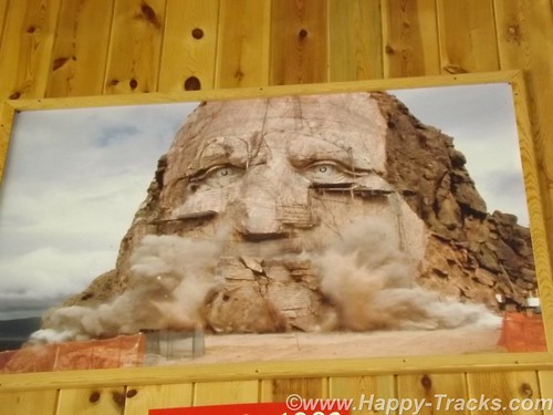
The first definable feature, the rider’s face, 26.67 meters (87ft 6in) high, was completed in 1998, in time for the 50th anniversary of the very first blast. Work subsequently began on the next phase – the horse’s head, 66.75 meters high. Although there is still no estimated completion date, Ruth never lost her faith that her husband’s vision would eventually be realized; she said her wish was to “live more years than possible because I would love to see it finished”.
DSCF6326
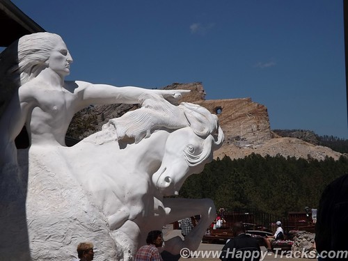
Crazy Horse, who was one of the leading figures in the Native American defeat of General Custer at the battle of Little Bighorn in 1876, pointing towards his prairie heartland. “My lands are where my dead lie buried.”
DSCF6322
We spent the night in Custer SD.
DSCF6351
You can see all of the pictures from this leg of the trip here.

We invite you to continue along with us and hope you enjoy the account!

January 27: Old Friends Touring DC: Navy Memorial and National Portrait Gallery

A rare treat for the Old Friends weekend, we were able to tour on Sunday as well. Today included breakfast, church and then a trip to downtown DC to visit the Navy Memorial (site of the Lone Sailor) and the National Portrait Gallery.

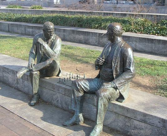
Our first stop after finding parking (which was free on the street where we were since it was Sunday), was a walking trip through Judiciary Square where we found these two gents deeply absorbed in an impromptu chess game. They didn’t include a timer. Russ pointed out that the board was also set wrong, not something to be noticed by the casual observer.
DSCN7906
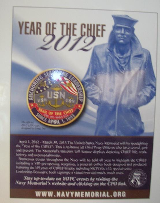
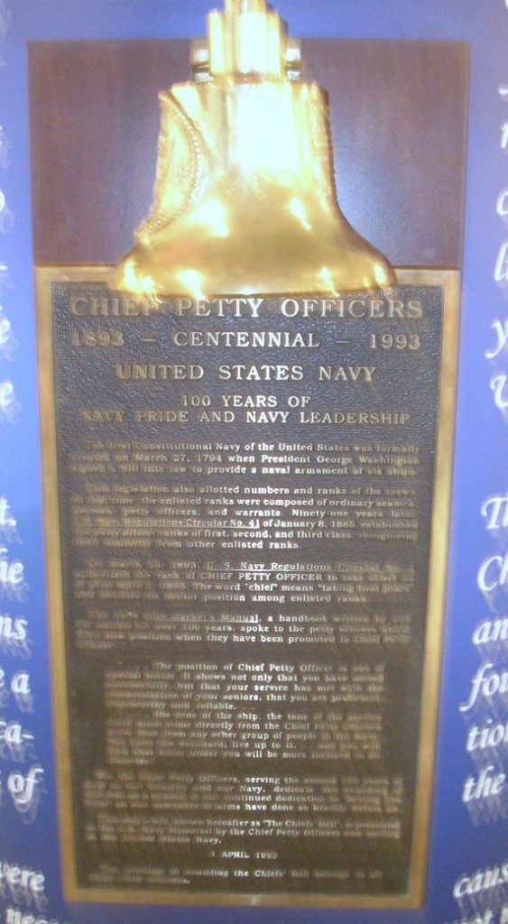
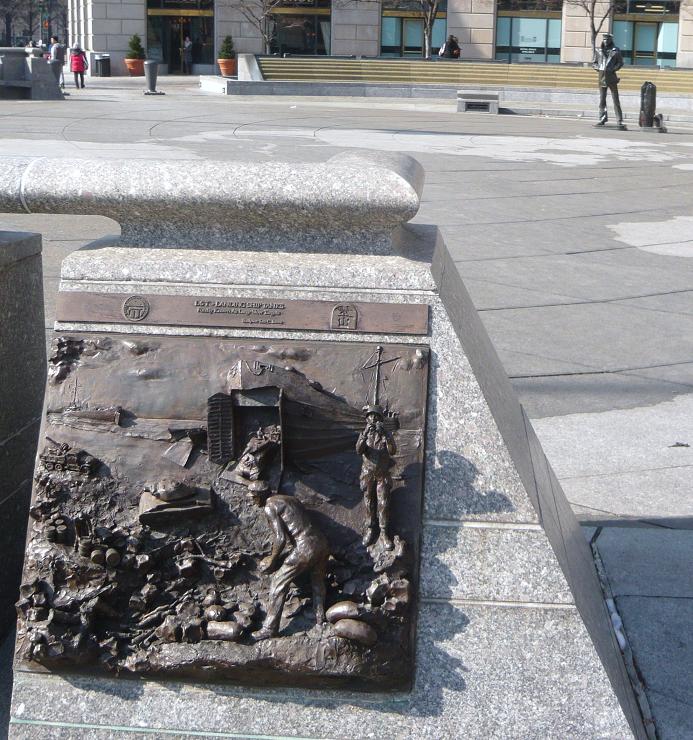
Our primary stop was just around the corner on Pennsylvania Avenue at the Navy Memorial. Best known for the statue of the Lone Sailor out front, there are exhibits and a theater inside. 2012 was celebrated as the Year of the Chief.
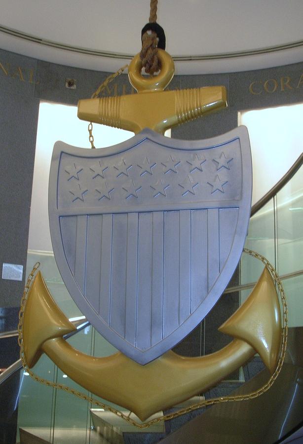
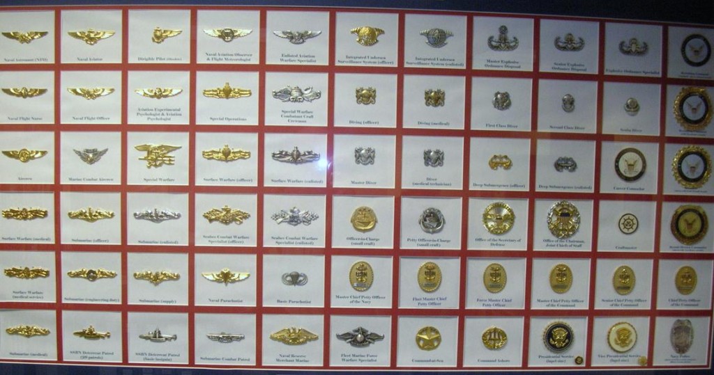
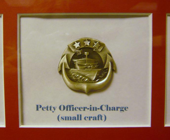
DSCN7908This centerpiece hangs in the center of the spiral staircase leading down to the main exhibit floor. This one is beautifully made of wood with the woodgrain showing as the gold color with painted silver for the shield. This is a replica of the traditional Chief Petty Officer’s collar device, the fouled anchor.
DSCN7909

DSCN7910

Chief Petty Officer uniforms

I’ll take a moment to apologize here for the quality of some of the pictures that follow. The lighting showed a glare on several of the displays. Normally, I’d reject those pictures but I believe the Navy Memorial needs to be shared a bit more and I’ll compromise the picture quality to give you a better idea what’s there.

DSCN7911

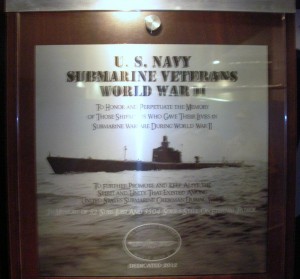
Memorial plaque for submarine sailors of WWII

DSCN7912

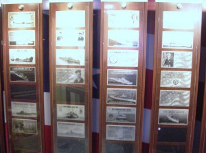
Multiple memorial plaques provided in exchange for donations. There were a number of displays similar to this one.

DSCN7916

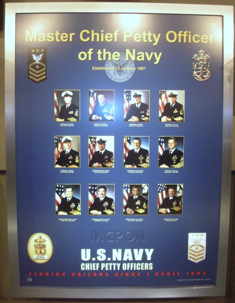
The Senior Enlisted Sailor in the Navy is the Master Chief Petty Officer of the Navy (MCPON). This display pays tribute to those who have served in this capacity. Of the 13 men who have served as MCPON, three were submarine-qualified (James Herdt 1998-2002; Terry Scott 2002-2006; and Rick West 2008-2012)

DSCN7915

DSCN7917
DSCN7918
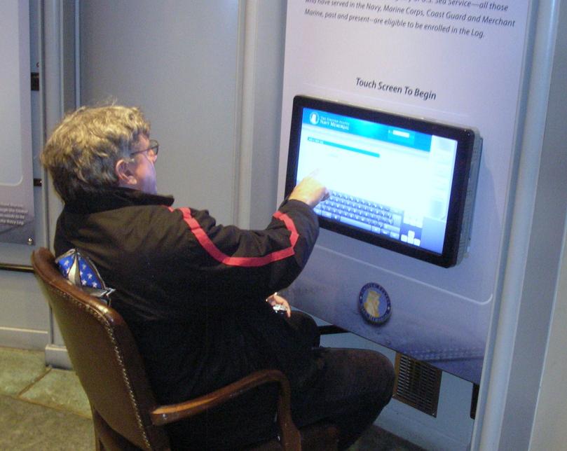
DSCN7919The Navy Memorial maintains a log that allows sailors or their families to enter pertinent data about the sailor as part of the memorial. Their goal is to include all Navy Sea Service Vets. Father Steve was looking things over but decided to complete the entry back at Chateau Pierre.

DSCN7920

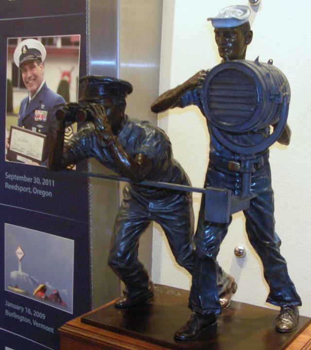
Signalmen and spotters served in good weather and bad.

DSCN7922

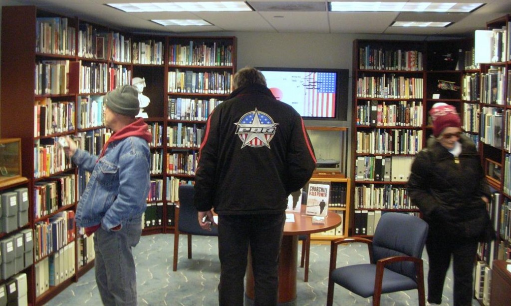
The Memorial includes a library of books (fiction and non-fiction) about the Navy and its sailors and also by some of the sailors.

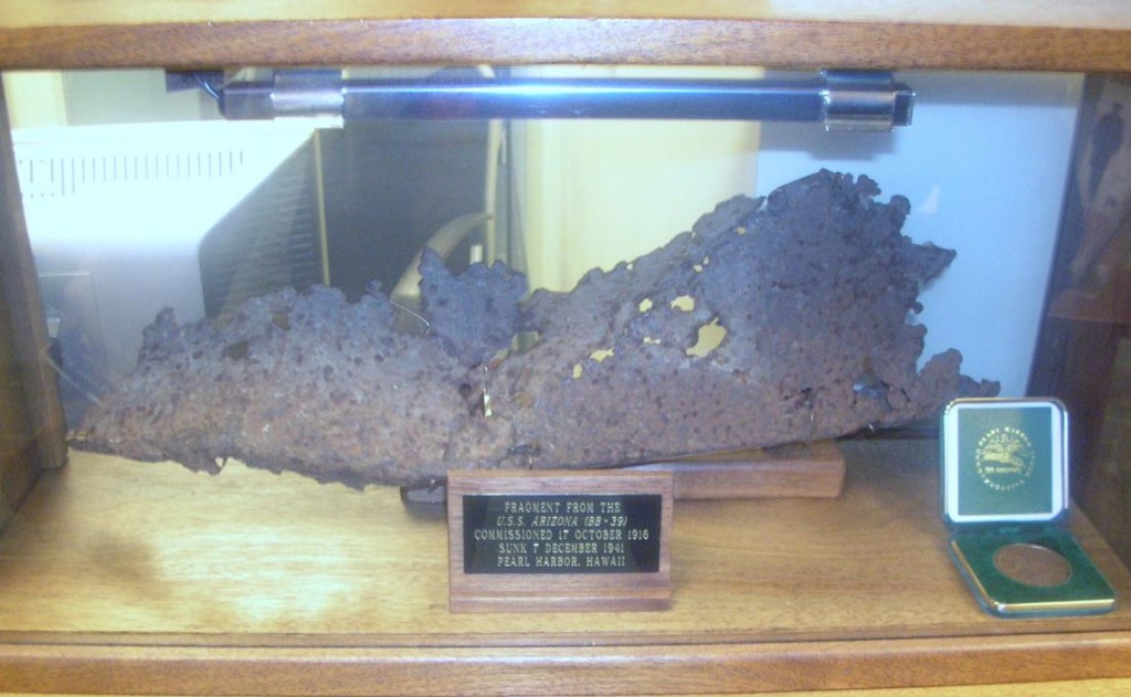
DSCN7924

A piece of the USS Arizona, bombed and sunk in the attack on Pearl Harbor.

DSCN7928

The display included portraits of Presidents who had served in the Navy. This one is John Kennedy. Also included were Lyndon Johnson, Richard Nixon, Gerald Ford, Jimmy Carter and George H.W. Bush.

DSCN7921P1060139

DSCN7923

DSCN7934

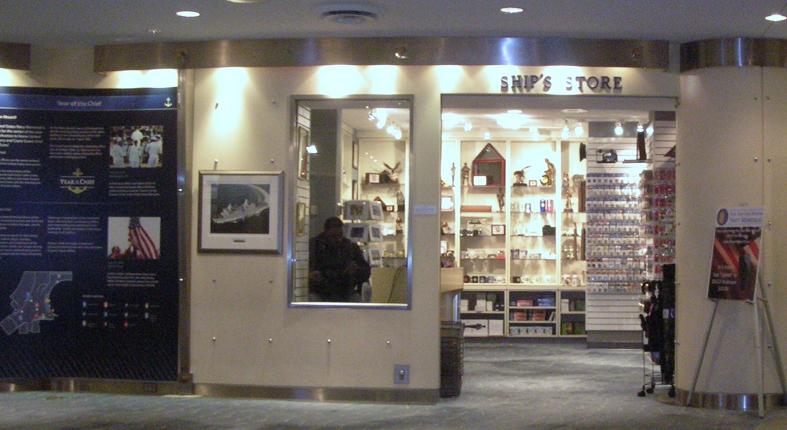
The Ship’s Store

DSCN7929

The Navy Memorial maintains a log of sea service veterans. This poster reminds us that sea service veterans are all around us and asks to help. Visit their website at www.NavyMemorial.org

P1060135

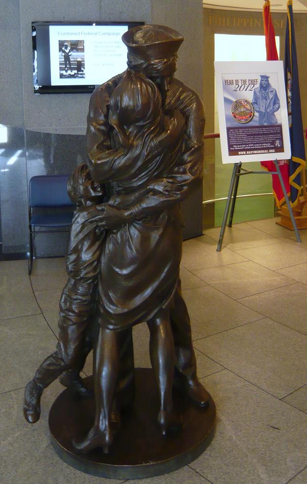
Statue depicts “The Kiss”, subject of a famous Life magazine cover at the end of WWII.

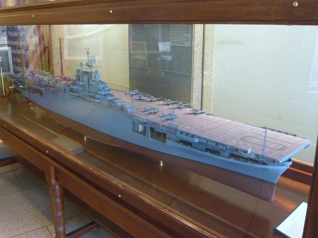
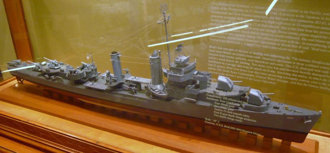
P1060136There are a number of scale models of Navy ships on display.
P1060134P1060137

P1060138
P1060141
P1060142
P1060147
P1060140

P1060133

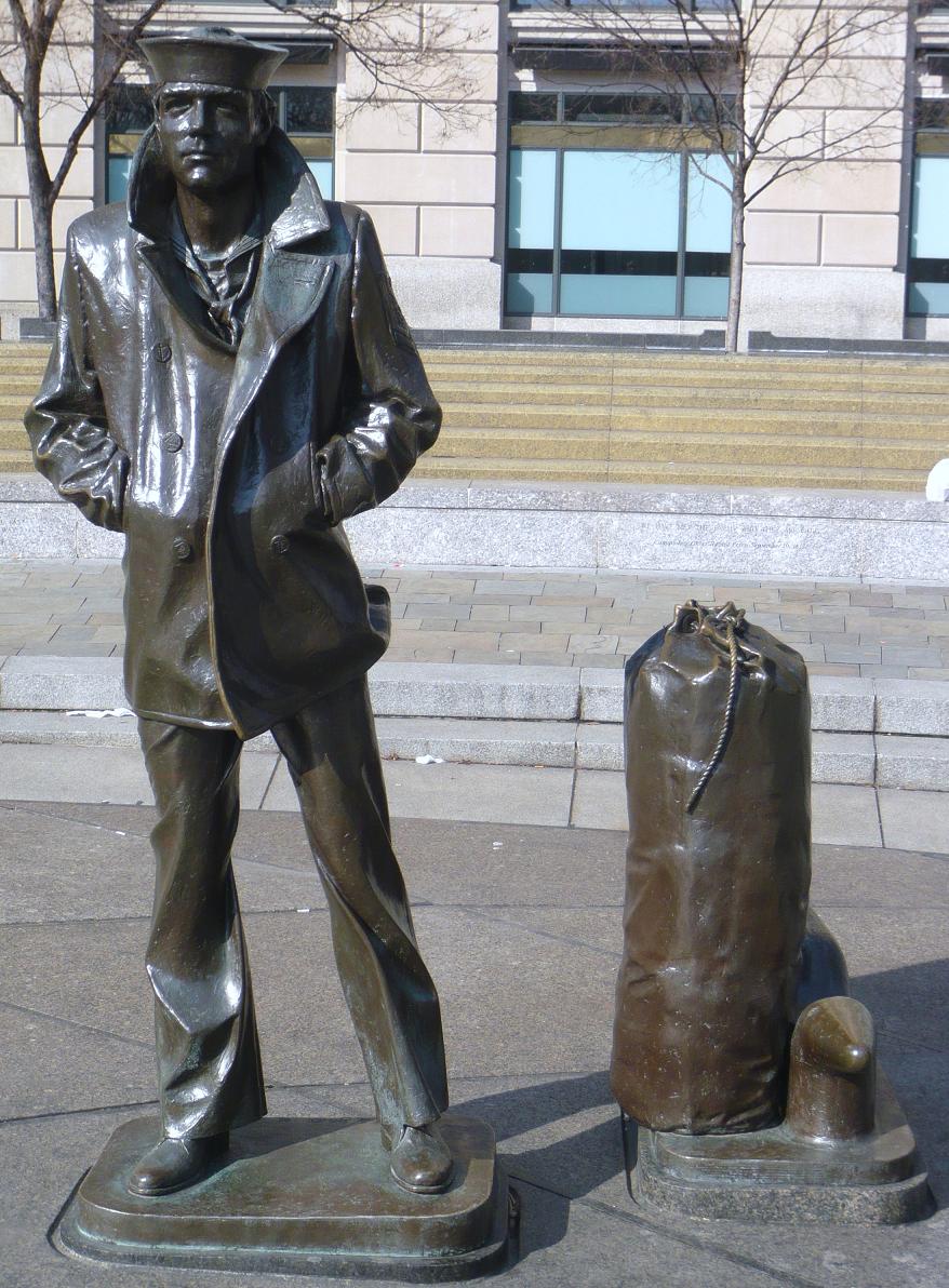
The Lone Sailor

P1060150

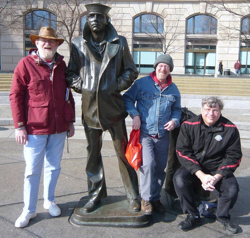
The Lone Sailor with friends

P1060151

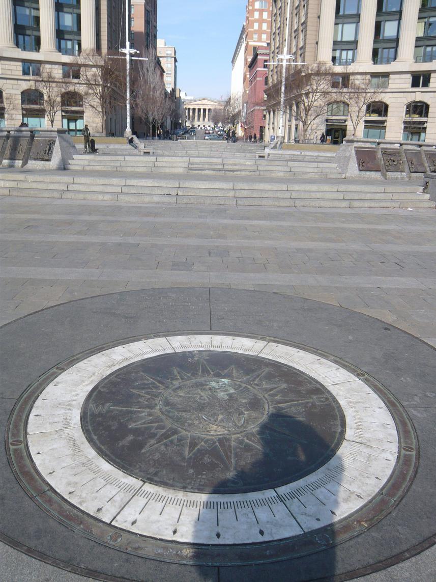
The compass in the Memorial Plaza.

P1060148
After visiting the Navy Memorial we headed over to visit the National Portrait Gallery. The National Portrait Gallery is part of the Smithsonian Institution and is dedicated to the display of portraits of persons who have made significant contributions to American history and culture. There is an extensive display of Presidential portraiture including a wire sculpture of President George H.W. Bush pitching horseshoes. The American Art Museum (which shares the building) included exhibits displaying the national parks and other persons in our history. There was an exhibit depicting Amelia Earhart and artifacts from the US Patent Office.

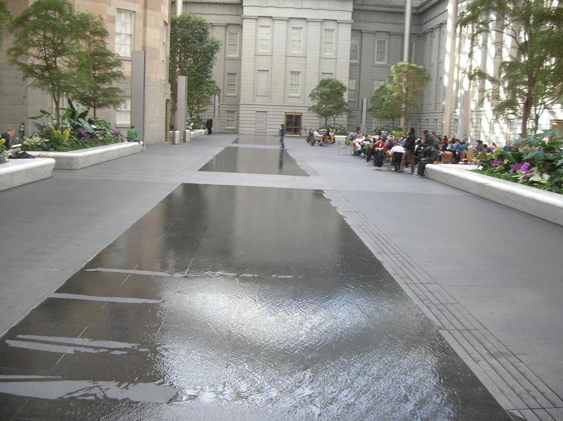
We highly recommend that you take the time to visit. While you’re there, allow time to take in the atrium in the center courtyard shown in the pictures below.

P1060152

The water in this picture is no more than a quarter to half inch deep. Although it appears to be much deeper.

We chose to grab lunch in the atrium. There were a number of folks who seemed to be just enjoying the opportunity to relax and read or study in the pleasant temperatures and the sunshine coming through the glass roof. It sure beat the cold outside.

DSCN7937After we left the Portrait Gallery, it was time for Russ to hit the road south while Father Steve, Betty and Keith headed back to Germantown.

Father Steve left on Monday via BWI where he experienced his unusual luck at finding delayed flights but arrived safely back at home, albeit a bit later than planned.

It was another great weekend with great friends, exploring the sights right here in our own backyard.

January 26: Old Friends Touring Locally: Fort Washington — Who Knew?

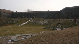
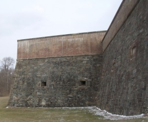
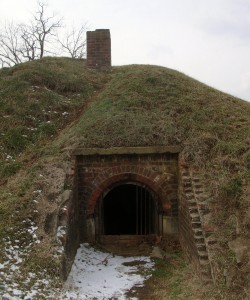
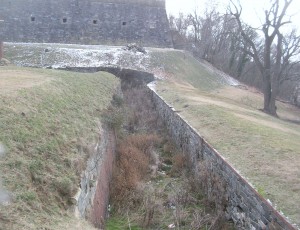
P1060055 P1060048 DSCN7845 DSCN7843 DSCN7839 DSCN7832 DSCN2944During our last visit with Russ and Father Steve, we had spied something on the eastern side of the Potomac while coming home from Mt. Vernon. A little web research identified Ft. Washington as our target.

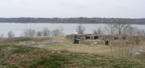
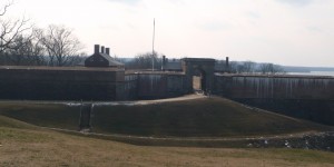
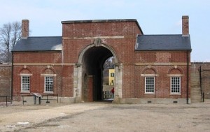
As it turns out, Ft. Washington is still a fort. After all these years of being so close, who knew? Today’s adventure would take us there to see close up. Fort Washington is under the care and ownership of the National Park Service.

Originally the location was home to the Digges estate. The Digges family were friends of George and Martha Washington. In fact, George celebrated his 43rd birthday here. It has been called Warburton Manor. The first military installation was called Ft. Warburton. The site is across the river and slightly upriver from Mt. Vernon. President George Washington suggested it be built. With perpendicular earthen walls, it stood 14 feet above the bottom of a ditch which surrounded the river side of the fort. It included a tower with six cannon overlooking the river. But Ft. Warburton lasted only 5 years.

In August 1814, British forces entered Washington through Bladensburg MD and burned the White House, Capitol and most other government buildings. The next day British warships sailed up the Potomac headed for Alexandria VA. Capt. Samuel Dyson feared Warburton would wind up in British hands so he evacuated and used the powder to destroy the fort. (You may note that Samuel Dyson is not a name you hear in discussions of early American heroes.)

James Monroe, acting Secretary of Defense, engaged Pierre L’Enfant (famous for the layout of Washington) within a month to build a replacement even as the threat diminished with the Treaty of Ghent being signed in December 1814 and the British defeat at the Battle of New Orleans in January 1815. L’Enfant was subsequently dismissed and replaced and the construction was completed in October 1824 at a cost of $426,000 (roughly the price of some of the larger homes in the nearby Ft. Washington community.

As the country moved closer to the Civil War, it became clear that Ft. Washington’s position guarding the capital and across the river from Virginia was more critical. At one time, the fort was under the command of Lt. George Washington Custis Lee, son of General Robert E. Lee. With the growing unrest, he resigned his commission and moved to Virginia. After Lee’s departure, forty Marines were assigned to defend Ft. Washington but were replaced in January 1861 a company of Army recruits. The day after Ft. Sumter fell, the Army’s 1st Artillery took over Ft. Washington. For a time, Ft. Washington stood as the only defense for Washington but was supplemented by a string of 68 enclosed forts and batteries encircling the city.

The fort served during the War of 1812, the American Civil War, the Spanish American War and into the 20th century as a potential defense during both World Wars before reverting to the Department of Interior.

The new fort was designed to serve as a link in the defense of the East Coast of the USA from Naval attack, not just the nation’s capital. During the Civil War, the development of armored ships and rifled cannon shifted the nature of warfare, allowing the ships to approach closer than wooden ships could and to fire rifled cannon which were capable of demolishing brick fortifications and with greater range.
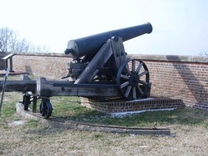
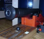
This 24 pounder cannon has an effective range of 1900 yards, almost double the distance to the Virginia shoreline.

This 24 pounder cannon has an effective range of 1900 yards, almost double the distance to the Virginia shoreline. This is all that remains of the fort’s 1861 armament.

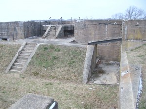
Fort Washington has evolved over the years and is not just one structure but several on the property that were built to meet the changes in strategy and technology. It is also one of only a handful of the seacoast fortifications still in their original form.

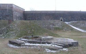
In 1872, the US Army turned the fort over to the Army engineers who constructed new gun positions. In 1896, new concrete batteries were built near the fort for Endicott-era guns, 10-inch rifles on disappearing carriages, 12 inch mortar batteries and 4 inch rifles. Land was purchased and similar batteries were built across on the Virginia side of the Potomac — Ft. Hunt.

In 1921, after the post was no longer needed, it became the headquarters of the 12th infantry. During WWII, the Adjutant General’s Officer Candidate School. was based there. In 1946 the fort was deactivated and became part of the National Park System so that it could be preserved historically and provide recreational opportunities. One Facebook friend says he attended a military school there (or near there) in 2005.DSCN2931
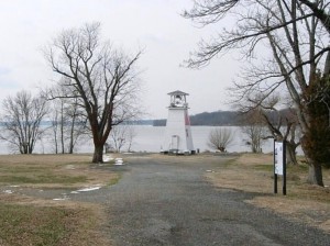
On the point there is also a navigational channel marker which has served as a fog warning.

Our visit was on a cold but sunny day and we started our tour by driving through the park and taking the path down by the river. It’s obvious that the park is used by many nearby residents as a place for walking, bike riding and exercising the dogs.DSCN2925
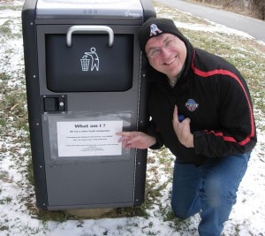
On leaving the car, we came across this trash can with a solar powered compactor.

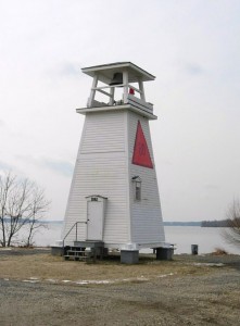
The old light house/fog signal is small (even compared to DSCN2937Massachusetts lighthouses), less than 30 feet high.
The area between the main fortification and the river has been used over the years for munitions storage, kitchens and later for mounting of cannons and other artillery. From this area is also the entrance called the sally port. Steve walked in this way but found that entrance locked.
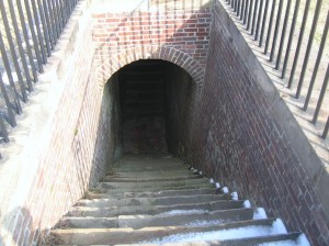
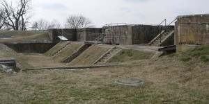
The stairway from the water battery inside the fort.

The stairway from the water battery inside the fort. Doors at the landing below provided protection and thus a sally port.
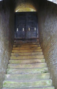
The stairway from the water batter outside the fort

The stairway from the water batter outside the fort. Doors at the bottom and at the top (shown) provided additional security.
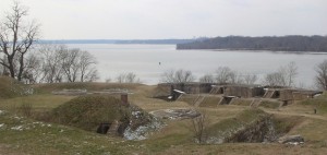
 

DSCN7848

Mt. Vernon lies just beyond the tree-covered point on the right.
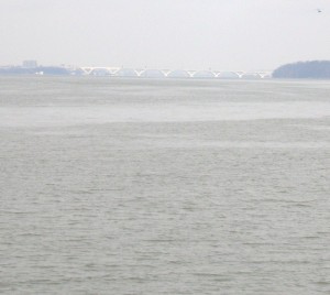
DSCN7821

Looking upriver. The bridge in the distance is the Woodrow Wilson connecting MD to Alexandria VA via I95/495

The fort is located on a high point at the juncture of the Potomac River and Piscataway Creek, slightly upriver from Mt. Vernon. This area is known as the Water Battery. In this area were several support facilities for the fort including the powder magazine, storehouse, saddlers shop, blacksmith, stables and the shot house. In the late 19th century, the area underwent major changes as platforms for four fifteen inch guns were added. Later, there were provisions for the Endicott guns. Guns located in this area could ricochet across the water (like skipping rocks) to more directly and accurately hit attacking ships.   DSCN7820 DSCN2953
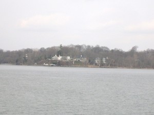
DSCN2943

DSCN2954
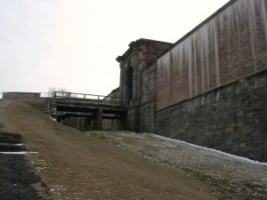
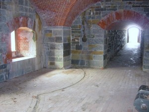
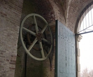
P1060125Two sets of gates protected the main entrance. During renovations made in the 1840s, a drawbridge was added to further protect the entrance. A series of chains and counterweights provided for rapid closure in case of attack from the land side. Additionally, 13 guns provided protection. Gunrooms were built flanking the main entrance (or sally port) to aid in that protection.
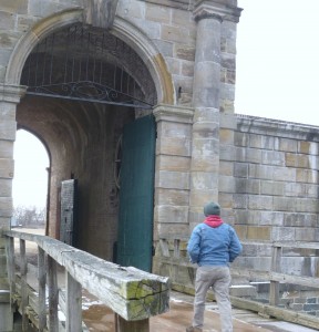
P1060063

DSCN2955

DSCN2975

The main entrance or sally port from inside.
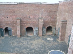
DSCN7857The northwest demi-bastion was designed to contain two levels of guns but only the upper row was installed. The lower level was used by laundresses who lived with their soldier husbands until better quarters were built later. The area was also used for storerooms.
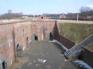
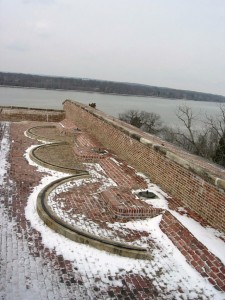
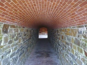
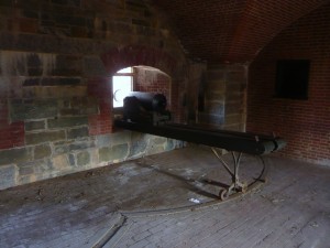
P1060105DSCN2965Also part of the 1840s improvements was the addition of this protected passageway called a capionere which projected from the landside wall and included two levels of guns mounted on swivel tracks to facilitate aiming.
P1060112

P1060113

DSCN2981

P1060114

The capionere also provided a hidden point to keep an eye on the four-legged neighbors.

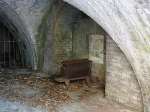
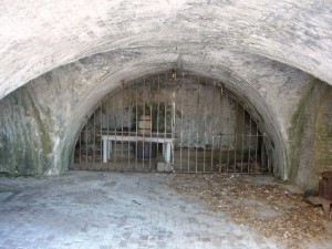
There was also a battery along the outer wall of the ditch surrounding the fort. This provided the capability to fire muskets against attackers who had entered the ditch as well as towards the river.
DSCN2995

DSCN2994

Postern gate, now sealed up

DSCN2993

P1060082

Officers quarters

DSCN2999

Looking across to Enlisted quarters

DSCN7886

Another view across the main parade ground
DSCN2966

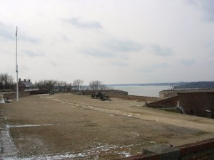
Looking south across the parade ground from above the front gate. A shed (no longer there) at the far corner provided lookout and control capabilities for the Endicott era mines in the river.
DSCN3010

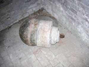
Part of the river mines system from the late 19th century.
DSCN2960

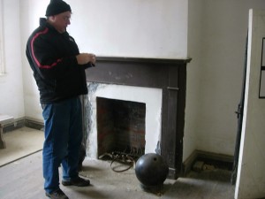
Father Steve with a cannonball in the guard shack.
DSCN2992P1060106DSCN7869DSCN7873DSCN3000DSCN2982

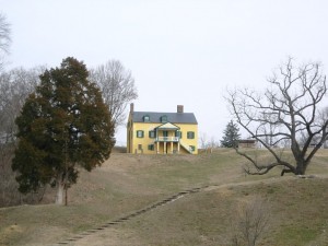
Exiting the fort, you see the visitor center in the yellow house on the hill. DSCN2947 At some point, it was the commanding officers’ quarters but it is not clear during which era. The visitor center contains an audio-vsual presentation as well as some historical
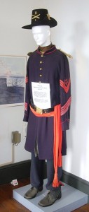
DSCN3013 DSCN3021exhibits. It also contains the highly sought after (at least by Betty) gift shop! On this particular day, it also contained the first place with heat that we had entered since leaving the car.

Outside the visitor center is the Battery Commander’s Center (the concrete tower) and Battery Decatur.
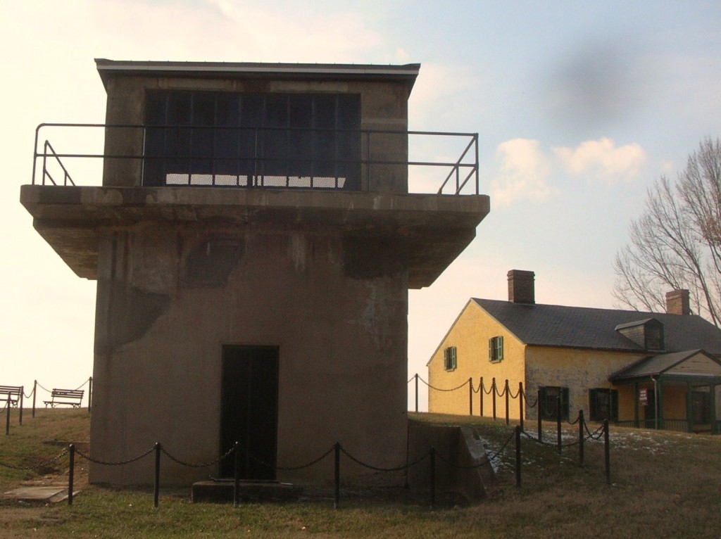
DSCN7898
Battery Decatur was completed in 1891 and is made of reinforced concrete. It reflected the shift in defensive structures to rifled projectiles. On the top were mounted 10 inch guns which used the recoil energy to lower the gun out of sight for reloading. The guns had a range of about 7 miles. DSCN3011The lower stories had storerooms for shot, powder and shells and cranes to lift the ordinance to the upper floor guns.
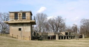
During WWI, the two guns of Battery Decatur were shipped to Fort Monroe Va enroute to use in France. Ft. Washington was garrisoned by the DC Coast Artillery and a number of military units were organized there. The fort was also used as a staging area for troops headed overseas.

Following that, the fort was occupied by the 3rd Battalion 12th Infantry. Its soldies participated in a number of state functions until 1939 when the 3rd Battalion was moved to Fort Myer near Arlington Cemetery. In ’39, the fort was transferred to the Department of Interior and was home to a Civilian Conservation Corps (CCC) barracks.

Following the US entry into WWII, Ft. Washington was returned again to the Department of War. Further expansion occurred with additional buildings for students and to provide support services for training military personnel. The Veterans Administration used part of the area and buildings as public housing.

In 1946, the fort was once transferred to the Department of Interior with may of the WWI and WWII era buildings removed. So far, it has remained a public park since.

After all the tramping around up and down stairs and hills and breathing all the fresh winter air, it was time for a relaxed meal.  So it was over to Proud Mary’s at the Ft. Washington Marina.
photo7By the time we had finished our meal, it was time to head for home and resume the hotly-contested Uno championship.

January 25: Old Friends Touring Monticello

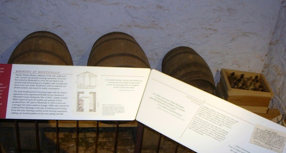
Steve and Russ were two of Keith’s roommates when we were at the Navy’s training facility in New York. Although our paths diverged quite a bit afterwards, it was an intense time in our lives and the friendship that really got its roots there has continued and deepened through the years. At least once per year, we try to get together and visit with each other and to play tourist somewhere. For point of reference, Betty and Keith met while Steve, Russ and he were roommates.

On January 24, the website for Thomas Jefferson’s home in the hills near Charlottesville VA indicated that they had closed early due to the inclement weather but to check back for the schedule for the next DSCN2868 day. At sometime after 9:00 am on Friday, January 25 the website indicated they would be open normal hours so we loaded up with hopes of seeing Monticello and maybe even Monroe’s Ash Lawn and Madison’s Montpelier. The forecast was calling for the possibility of light snow in the early evening.

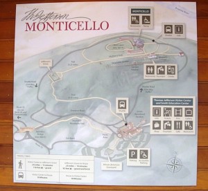
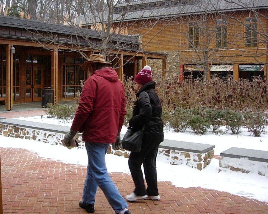
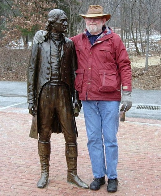
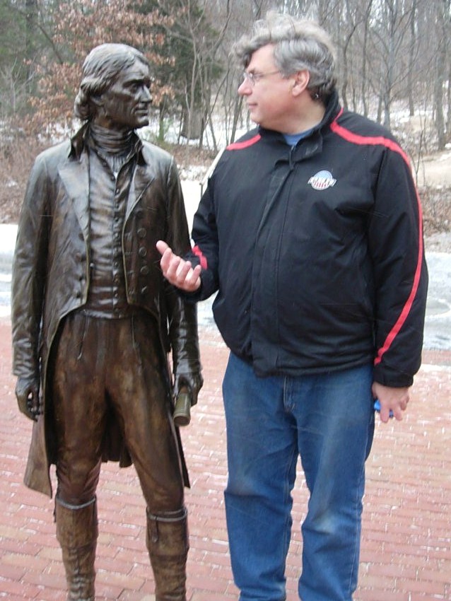
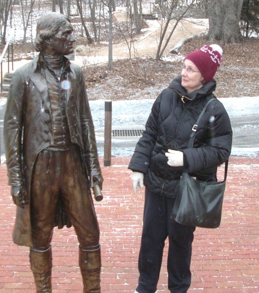
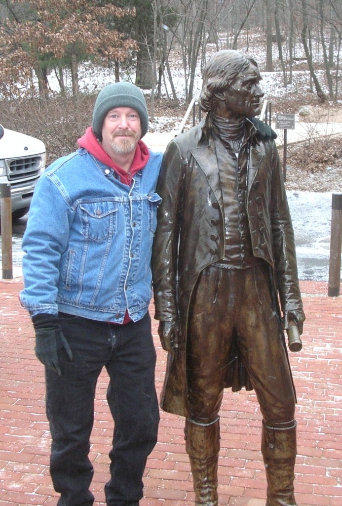
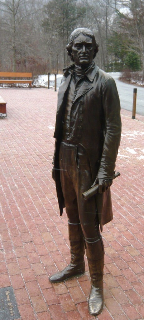
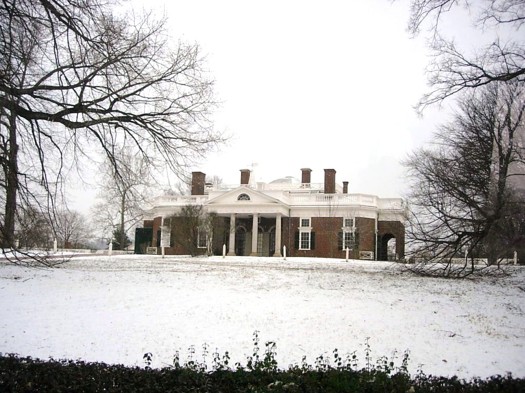
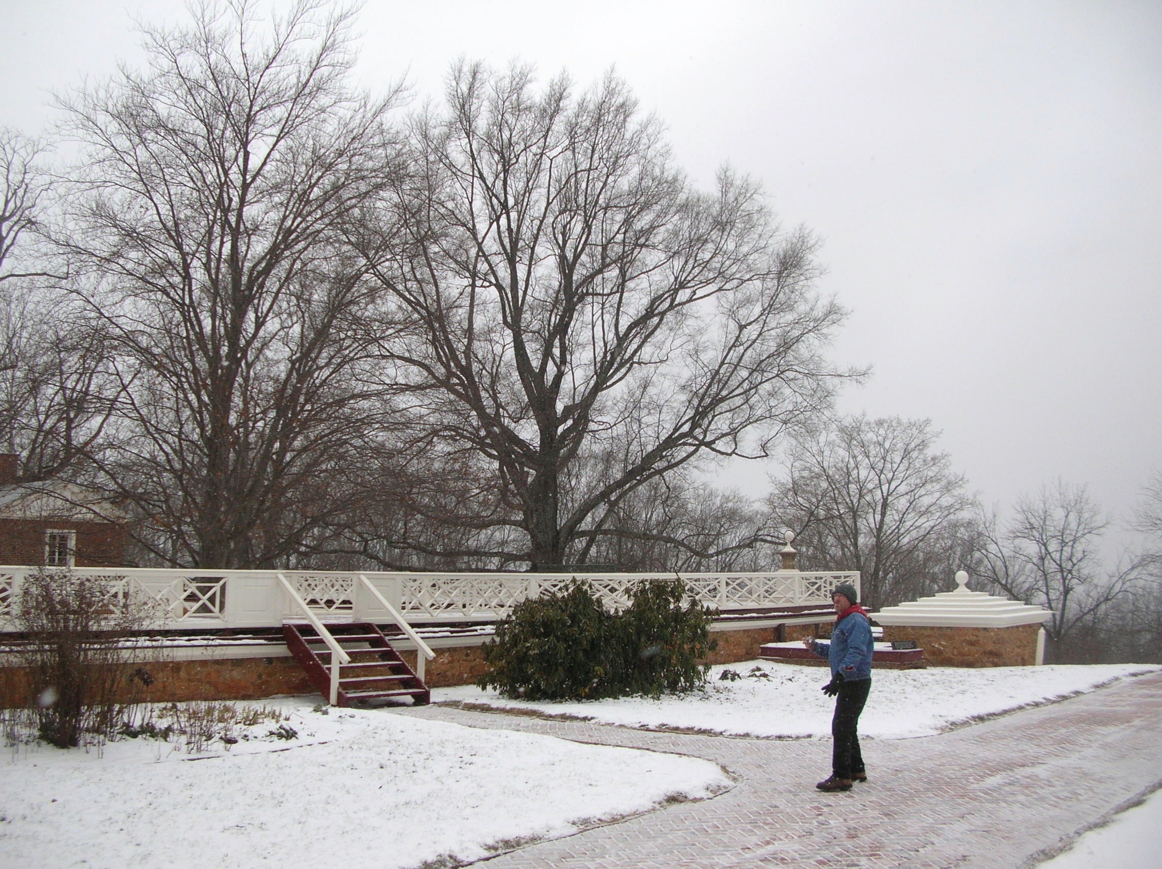
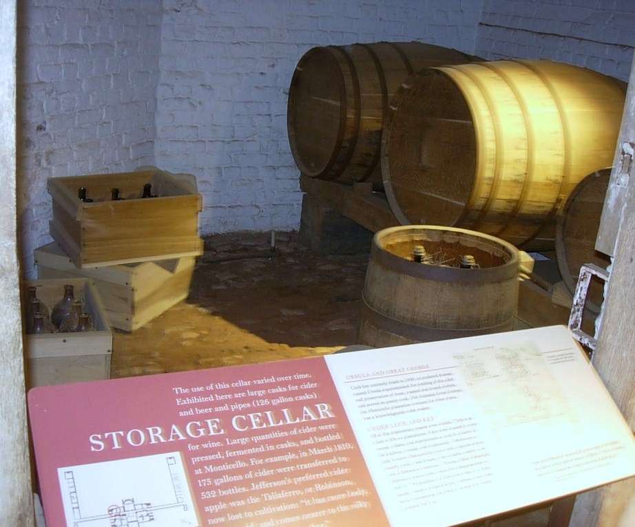
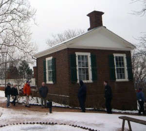
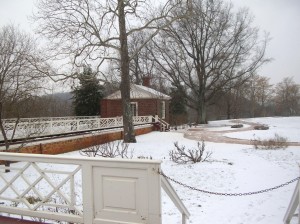
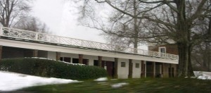
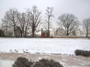
Not in any particular hurry to get there, we meandered a bit and considered getting lunch on the way but decided to wait until after our tour and pulled into the nearly deserted parking lot about 1:00. It appears the flurries and cold had discouraged many less hearty souls from the hilltop this afternoon. We went inside the cluster of buildings and bought our tickets for the 1:30 tour. After we purchased our tickets, we were told that would be the last tour this day as they would be closing early today because of the weather. When I had last toured Monticello (a time best measured as a couple of decades rather than a specific number of years), tickets were purchased at booths similar to those seen at a fair rather than the complex of steel and cedar with brick walkways. DSCN2869 Since our tour was departing soon, we decided to skip past the gift shop and theater DSCN2870 DSCN2917 but went into the museum to await the shuttle. The museum exhibit was themed more around the lives and times of the others living at Monticello, including the slaves of his era and later occupants. Outside the museum was a life-sized bronze statue of our third President and we all took the time to speak with him one-on-one.DSCN7810 DSCN7811 We boarded the bus and Jefferson watched us head up the hill. He’d be there when we returned.
P1050996
We rode in the shuttle bus up to the main house and you could feel it getting colder and the snow flurries came more frequently.
DSCN2905

P1050998

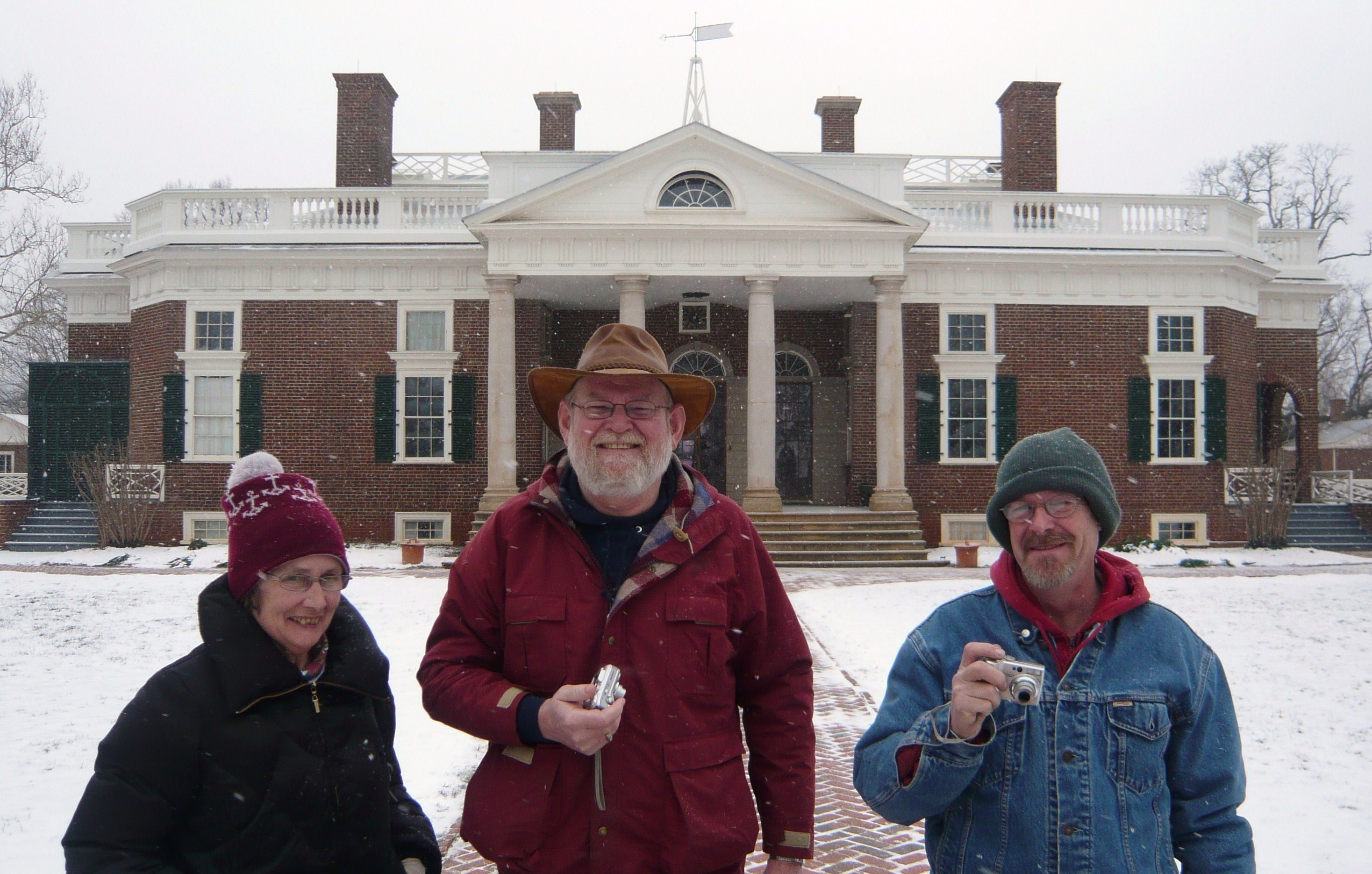
Perpetual tourists. Seemingly oblivious to the cold but cameras in hand…

"Y'all take your time looking around out there. We're waiting on another bus but I'm closing this door."

“Y’all take your time looking around out there. We’re waiting on another bus but I’m closing this door.”

DSCN7789

The low square structure at the corner is a cistern for saving rainwater.

DSCN7804

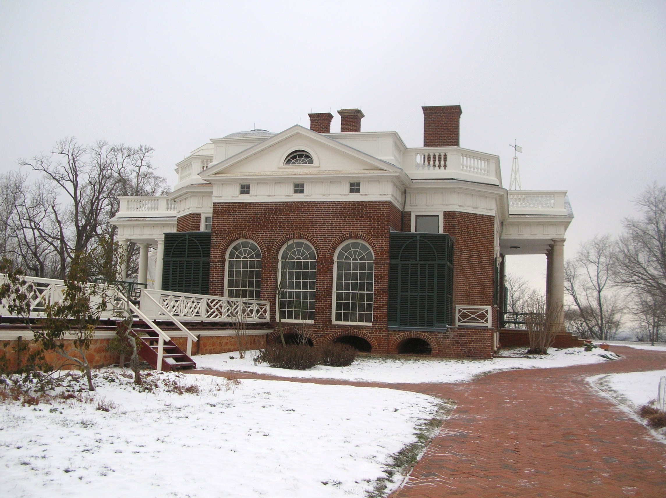
Jefferson’s library and personal quarters from the outside. The openings along the ground under the floor level allowed for warming fires to support the plants he grew.

P1060005

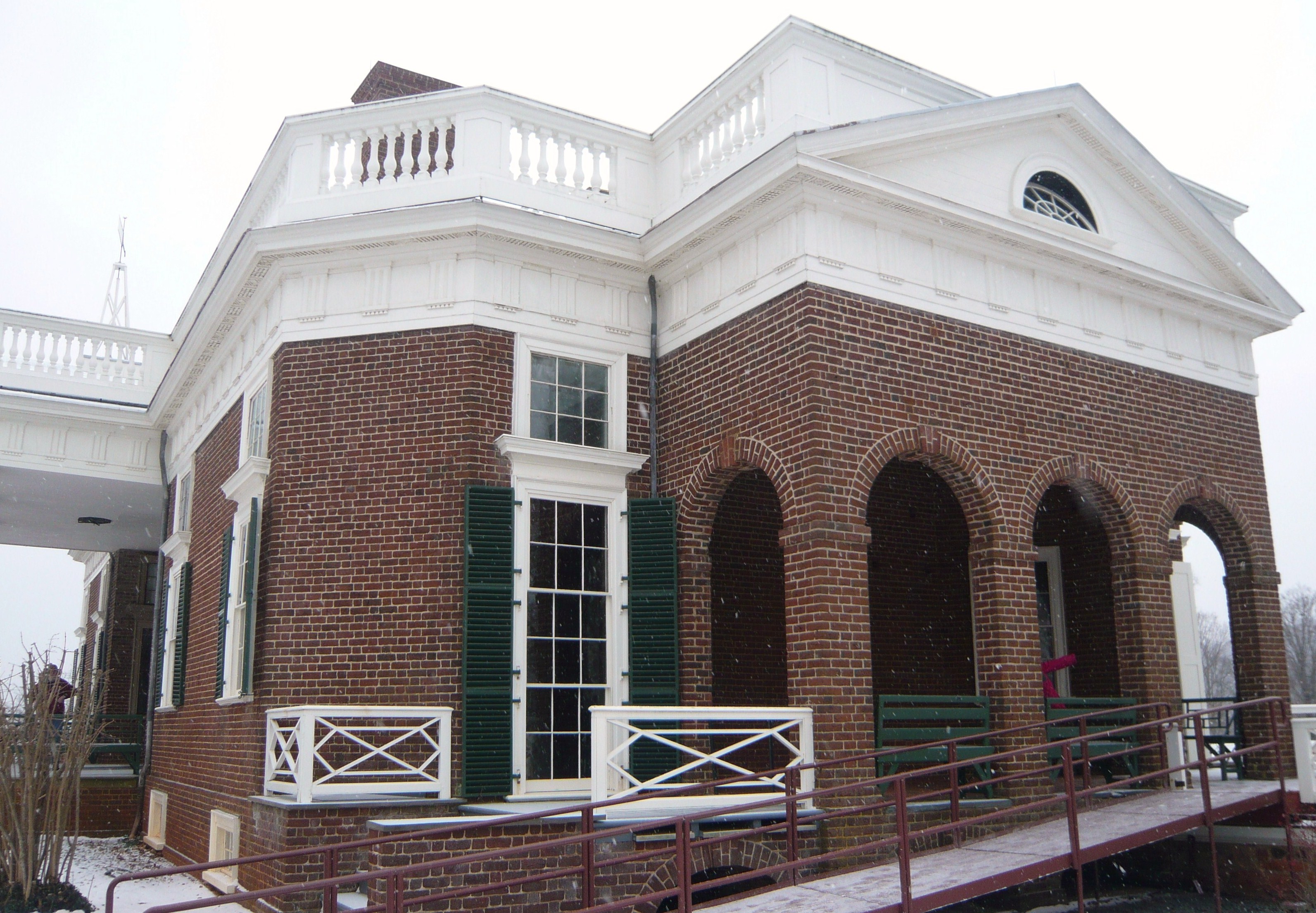
Guest rooms occupied the rooms to the left in this picture and a tea room was to the right (rear). While Jefferson was ahead of his time in many regards, the accessible ramp is a more recent addition.

Our tour began on the first floor inside but the cameras had to be put away there due to copyright and ownership issues on some of the loaned display items. I suggest you visit the website here where more detailed discussions and pictures can be found.
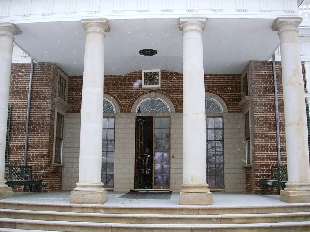
The first room we visited was the main entry which included a view of the large one-week clock which Jefferson had built as well as artifacts from the Lewis and Clark Expedition into the Louisiana Purchase.
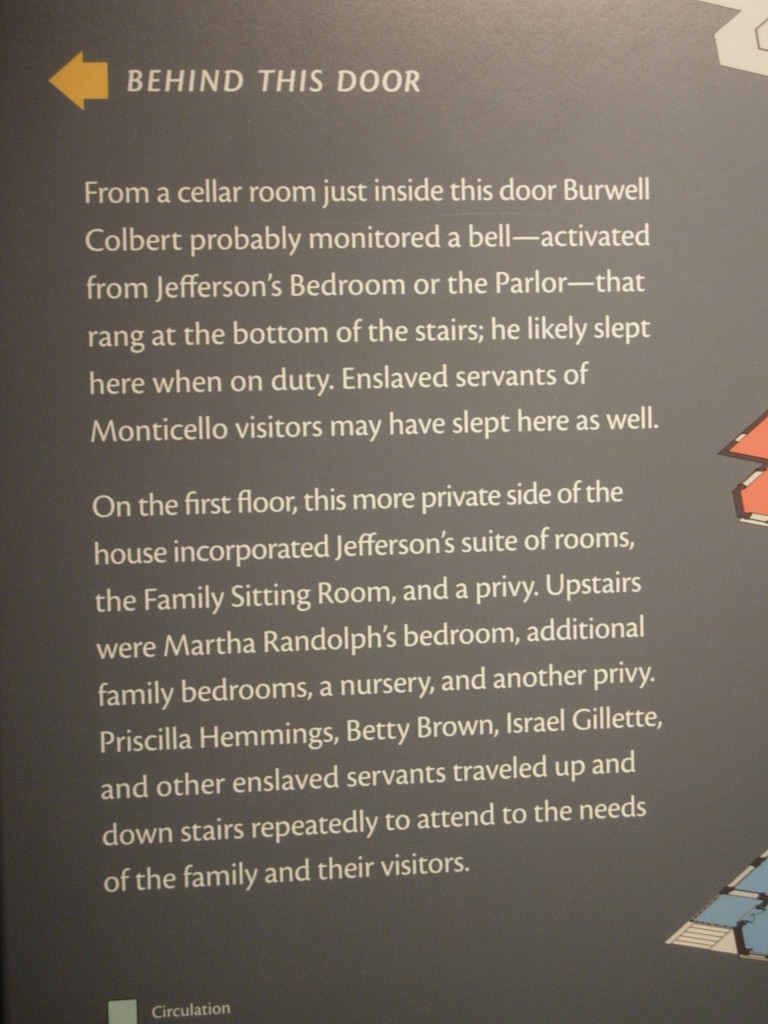
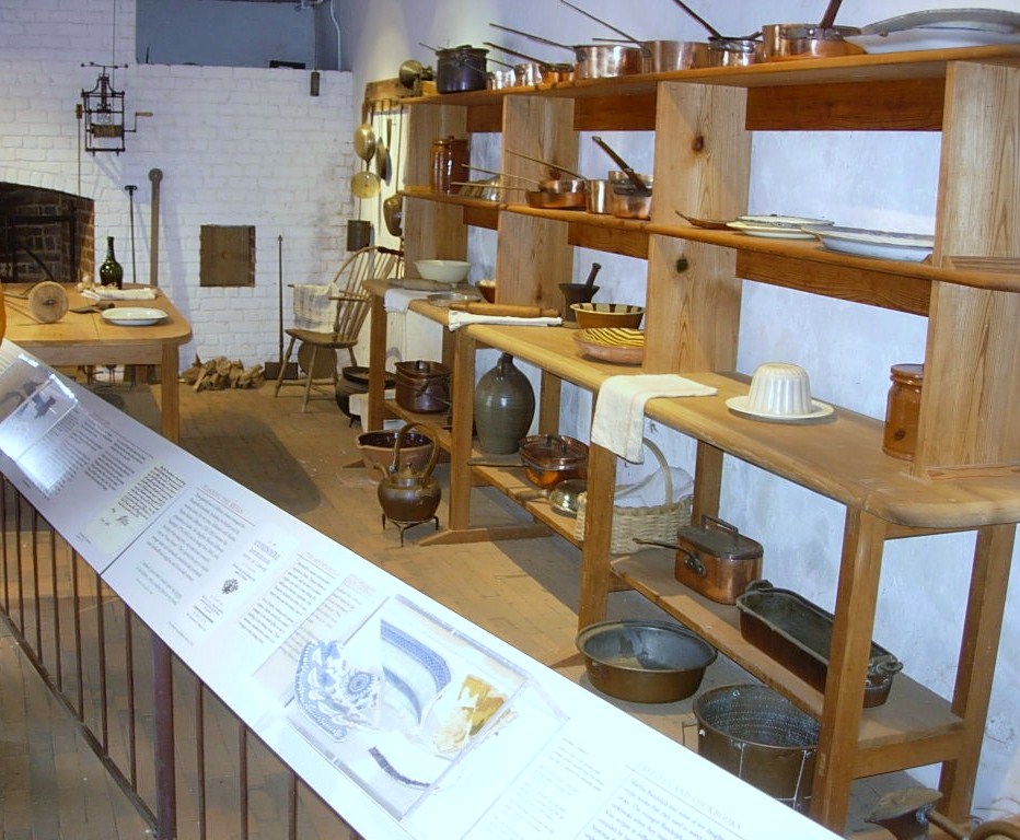
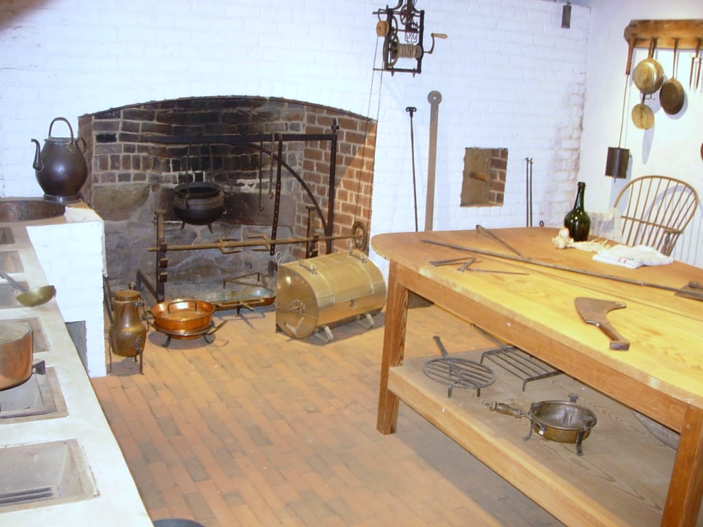
We moved into the family’s quarters seeing Jefferson’s library and hothouse which was heated in part by fires under the brick floor. We curved across the backside of the house and into the dining area with bright paint which seemed a cross between sunflowers and marigolds. Continuing around to the opposite front corner of the house, we viewed a guestroom and then moved down a narrow stairway to what would be service areas of the house, generally used by the servants and working folks rather than house guests.

DSCN7794

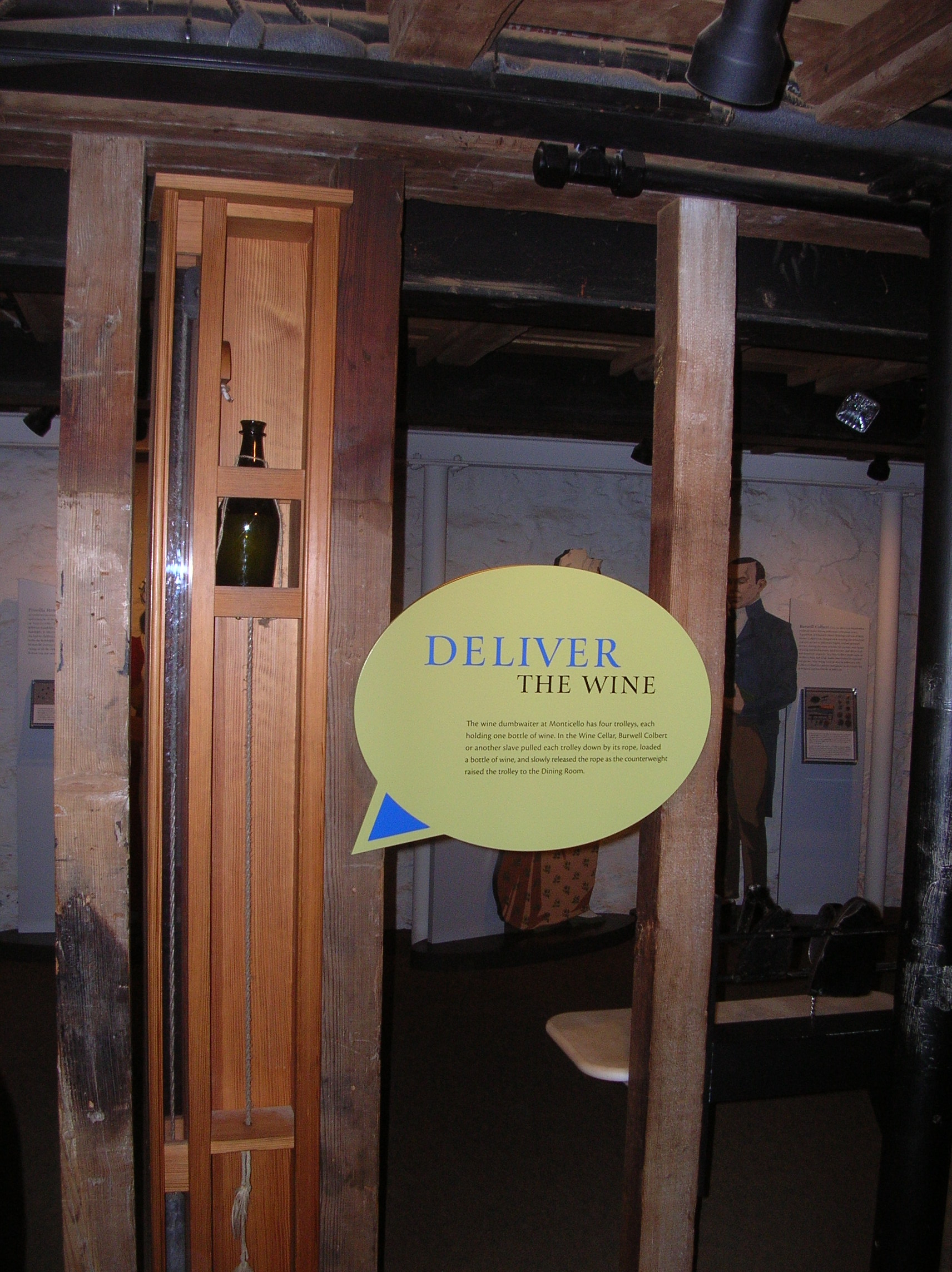
This bottle-sized dumb waiter allowed sending wine directly from the wine cellar to the butler’s pantry off the dining room.

DSCN2891
DSCN2883 DSCN2884 DSCN2889 DSCN2890 DSCN2893 DSCN2894 DSCN2895 P1060006 P1060007 P1060008 P1060009

DSCN7792

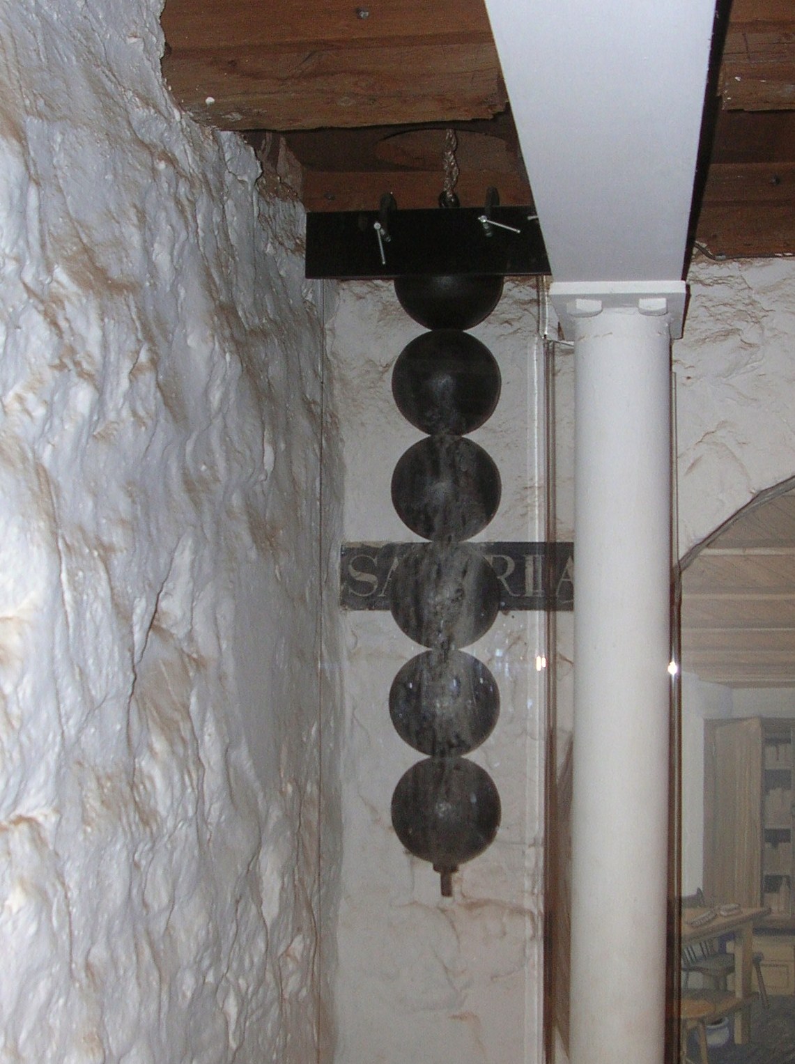
The 7 day clock upstairs is operated by these weights but the length is too much to be fully contained on one floor so the end of the weights goes into the cellar.

DSCN2892

This passage leads from the cellar south to the outside.

DSCN2880

One of the cisterns. Because of periodic shortages of water, Mr. Jefferson installed 4 at strategic locations to catch rainwater from the house and walkways. Each of the four potentially held 3,800 gallons.

DSCN2882

These were single rooms that were used as a study or quiet place by Jefferson and his guests.

DSCN7797

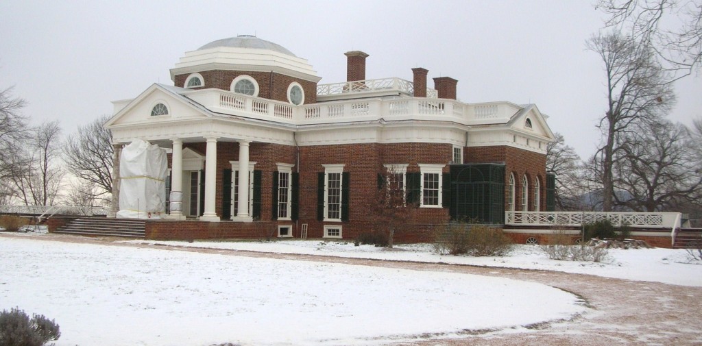
The more famous views of the house were actually the back. The white sheeting covering the columns is to protect renovation/restoration work in progress.

DSCN7800

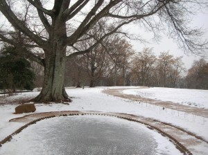
The fish pond is covered in ice. Fish caught in neighboring streams were kept alive until needed for the table.

DSCN7805

The view to the south

P1060020

The Garden Pavilion, favored by Jefferson as a quiet and peaceful place to read in the cool of the evening, was toppled by several windstorms following his death and was restored in 1984.

P1060018

The south pavilion was called the “outchamber” by Jefferson. Thomas and Martha originally lived in this. The lower story was at first a kitchen until it was later converted to a laundry (1808). In about 1818, the laundry was moved to the North Pavilion as it was closer to a natural spring.

DSCN7807

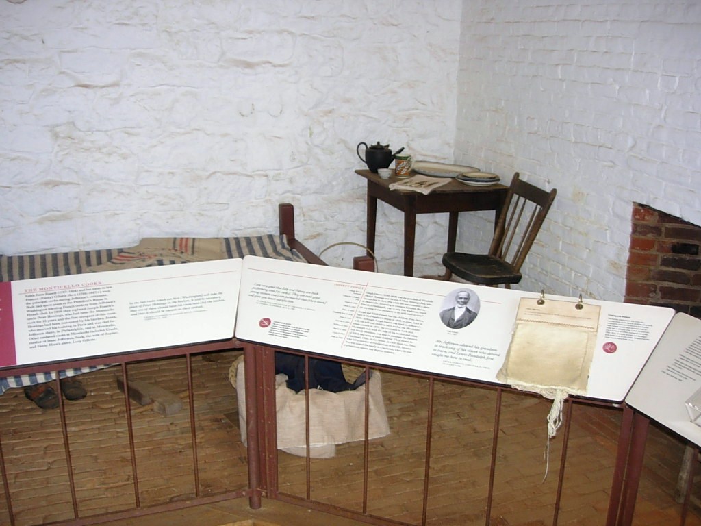
Under the walkway leading to the South Pavilion were several rooms which included a dairy (where milk was stored and butter made) and quarters for the enslaved workers who worked in and around the house.

DSCN2909

Under the walkway leading to the South Pavilion were numerous rooms

DSCN7799

North Pavilion

DSCN7806 DSCN7808
Our tour guide graciously led us to the back of the house and invited us to look around but told us the last shuttle down the hill would be leaving soon. On the way down the hill back out to the visitors center, we were given a brief stop by the Jefferson family graveyard. DSCN2911

When we reached the visitors’ center, everything was locked up so no gift shop or looking around a bit further. It was back to the car to move along so they could close the gates.

In fairness to the folks at Monticello, we need to relate a bit more of the story. Yes, their website had said they would be open regular hours and the forecast was for slippery roads coming down off the hill but that was the same forecast they had when they announced they would be open all day. No one was rude but you could sense that the folks who worked there were concerned about getting safely home and we were what stood between them and being on their way. When we got home, we sent an email expressing a concern that the daily update of the website could stand a reevaluation of policy. They agreed and said they would be looking into that. They also sent us a set of tickets to be used for another day and a nice book from their gift shop. It’s often said that the true measure of customer service and graciousness is how you handle an issue, rather than a perfect record of never having an issue. They handled the recovery well.

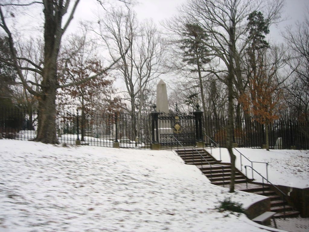
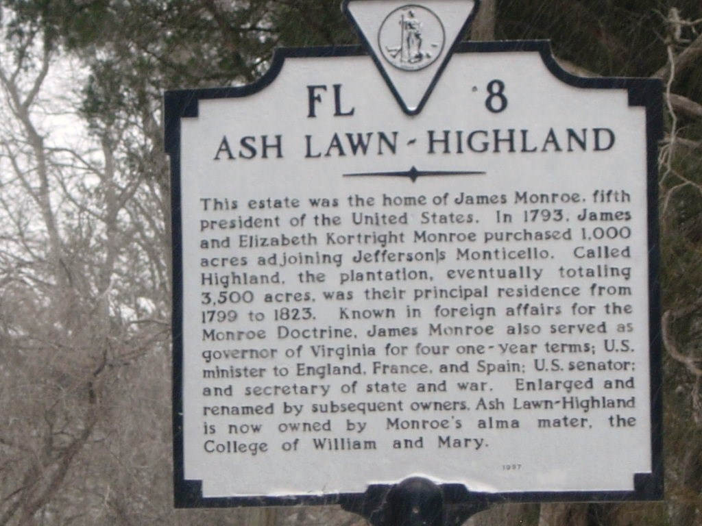
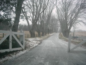
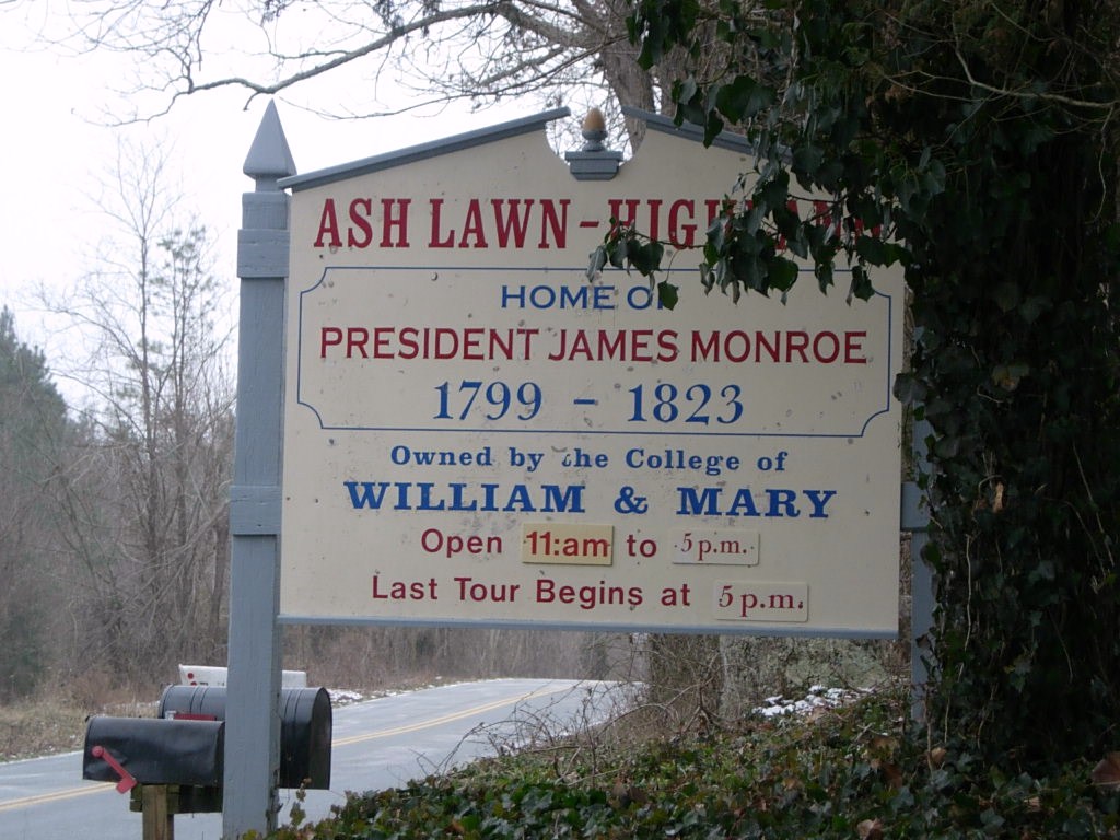
After we left Monticello, we drove over to see nearby Ash Lawn, the estate of President John Monroe, owned and operated by his alma mater, the College of William and Mary. Alas, they were also closed due to the weather but we did manage to get a couple of pictures.

DSCN2922

Bit of trivia, Virginia’s governor now serves for one five year term.

DSCN2918 DSCN2919 We’ll have to save Ash Lawn for another day. Perhaps an earlier start will get us to Montpelier as well.

And so we headed for home but we had skipped lunch and were all getting a bit hungry. In the course of seeking a restaurant that suited all, it became known that Father Steve HAD NEVER EATEN AT A WAFFLE HOUSE!!! So we remedied that.

DSCN7813

There’s something very, very wrong with this sign. Do you know what it is?

photo1After food, it really was back to the house with a stop at Wawa (somewhere else Steve had never been).

The Uno Championshp Series continued well into the night!

November 27-28: Savannah – The Squares and the Riverfront

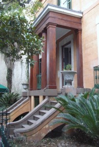
Our Tuesday plans were to visit the historic area including several of the squares in Oglethorpe’s design and to head back to the riverfront to take some pictures to share. On Wednesday, we did a little shopping and drove out to suburban Savannah to check out a housing development as one of our objectives this trip was to consider possible retirement locations.

Breakfast was once again at the conveniently located (and tasty) Atlanta Bread Company and then off to the Tourist Bureau for some information and a parking pass.

Savannah offers a one or two day parking pass for tourists which saves the hassles of finding the right change for parking meters and actually winds up being cost effective for the parking garages and meters. Its one of those things you don’t see advertised much but is definitely a convenience factor. Look into it if you’re driving in town.

VISITOR DAYPASS – Visitors may purchase a two-day parking pass for $12, or a single day parking pass for $7 from the Savannah Visitors Center or the Mobility & Parking Services Department.

This pass authorizes free parking on meters of one hour or more, free parking in the City’s lots and parking garages upon availability, and allows exceeding the time limit in time-limit zones. Visitor DayPasses must be filled out with appropriate information to be valid and will not be honored during special events. Parking in Savannah

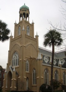
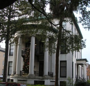
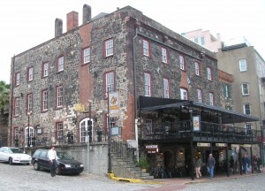
DSCN7669DSCN7682DSCN7683 We started down Bull Street, parking along Monterey Square. We just happened to park in front of this brightly decorated door on Gordon Street to begin our walk.  Across the street was Congregation Mickve Israel, home of the third oldest Jewish congregation in America.

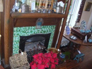
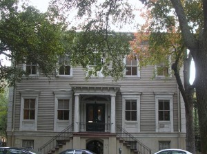
DSCN7670DSCN7671DSCN7672 Just around the corner on Bull Street was this little shop called Folklorico. Its housed in a building which was previously a street-level shop with living quarters above. Now both floors are part of the shop and the stroll through was as interesting to see the building as it was to see the shop’s wares.

We wandered into one of the little shops located under the main floor of a house on Monterey Square. This one, V & J Duncan Antique Maps, had a collection of antique maps, books and postcards which was a diversion and very interesting. We even found old postcards from Oberlin College in Ohio!

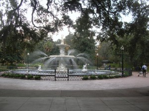
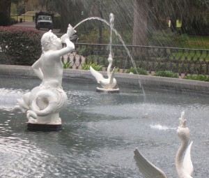
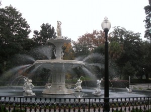
Forsyth Park is a large (30 acres) green area in the center of Savannah’s historic district. In addition to the elaborate fountain, there is also a Confederate memorial, flower gardens and recreatiDSCN7673onal fields, even a venue for the occasional concert.

Every St.Patricks Day the fountain is ceremoniously turned green in celebration of Savannah’s deep Irish heritage.

DSCN7674DSCN7675

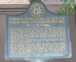
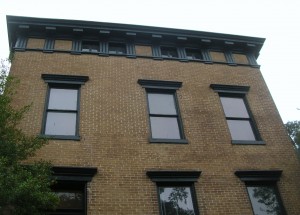
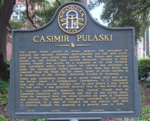
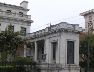
Major General Henry R. Jackson was an attorney and an officer for the Confederacy during the American Civil War. The building was used as Union Army headquarters during the occupation of Georgia. Jackson didn’t purchase the home until 20 years after the war where he lived until his death in 1898. (Jackson is one of the famous who lie in Bonaventure Cemetery.) His home later became the Oglethorpe Club, the “oldest gentlemen’s club in Georgia.” Organized in 1870, the Oglethorpe Club was established by a group of Savannah’s leading citizens. It still remains a fashionable private club today. DSCN7676DSCN7678Pulaski Square is probably best known for the live oak trees growing there. Casimir Pulaski is best known for being a Polish-born hero in the American Revolution. Pulaski Square has the marker shown in the picture but the statue of Pulaski is located in Monterey Square. The cornerstone for Pulaski’s statue was laid in Chippewa Square but funding ran out before the statue was completed. Pulaski (the man) was mortally wonded in the Siege of Savannah in 1779. The place where he died (and is buried) is not known with certainty. There were reports that he died at sea enroute to Charleston SC and was buried at sea. There was also persistent belief that he actually died at Greenwich Plantation near Savannah. Someone’s body was dug up from Greenwich Plantation and that body could have been Pulaski’s so they were moved to Pulaski Square and enclosed in a metal case. The Gerogia Historical Society thinks they have the fatal shot removed from his leg. Despite all the apparent confusion, Casimir Pulaski was a Revolutionary War hero and is memorialized here. (In our modern age of forensics and DNA analysis as popularized by television series, the confusion seems particularly quaint to us.) DSCN7680

DSCN7679

Law Offices. The covered portico fills this corner of the property.

DSCN7681

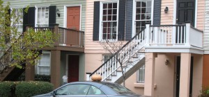
The colors of the salmon and green houses led to this picture being included on the blog but the picture was taken to show the pumpkin on the car’s roof.

DSCN7684

DSCN7685

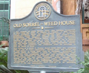
Sorrell-Weed House

DSCN7686

DSCN7687

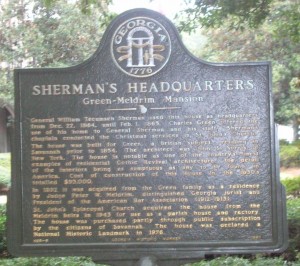
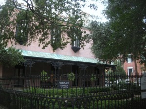
Green-Meldrim Mansion. Used as Sherman’s Headquarters

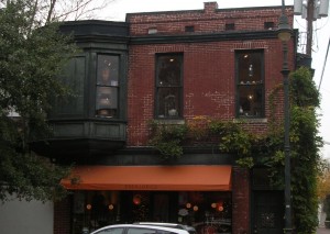
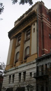
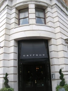
On Madison Square, we saw this eye-catching structure. On the first floor, the appearance was of a fancy shop of some sort with the name Gryphon. We decided to check it out and discovered that it’s actually a restaurant/tea room run by the Savannah College of Architecture and Design (SCAD). Since it had been a while since breakfast and didn’t appear too crowded, we dropped in for a late and light lunch. As it turns out, the first floor once housed an apothecary’s shop and retains many of the original furnishings, particularly around the edges. Since then, I’ve seen several online reviews which were mixed but we were quite impresed our salads, soup and sandwich. The architecture and ambiance make for a pleasant stop. The name Gryphon is pulled from a clock over the elaborate interior shelving. We were “privileged” to eat on the small stage with an excellent view of the interior as well as an outside view of the passersby.  DSCN7688DSCN7689DSCN7690DSCN7691DSCN7693DSCN7694

DSCN7695

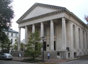
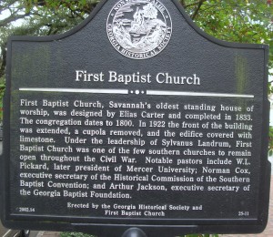
First Baptist Church, Savannah’s oldest standing house of worship

DSCN7696DSCN7698DSCN7699DSCN7700

DSCN7701

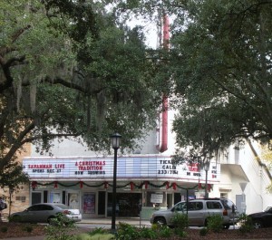
Savannah Theater on Chippewa Square

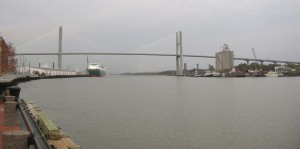
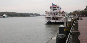
With our appetites satisfied, it was back to the car and off for the river front. Thanks to our parking pass, we pulled into one of the public lots along the river and pier. Looking downriver, we saw the Talmadge Memorial Bridge. The structure is dedicated to Eugene Talmadge, who served as the Democratic Governor of Georgia in 1933-37 and 1941-43. The new bridge was originally named for the Native American Creek leader Tomochichi, an important figure in Savannah’s founding in 1733. After public forums on the issue, the original name was restored for the new structure.

DSCN7702

DSCN7706

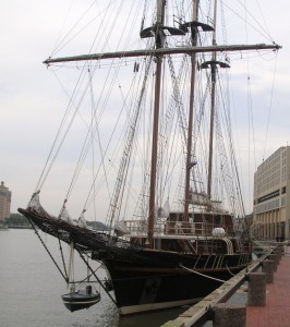
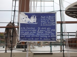
The Peacemaker, owned by the Twelve Tribes communities was originally constructed in Brazil for use as a charter vessel. It was brought to Savannah for some work which was never completed and was sold at auction.

DSCN7710

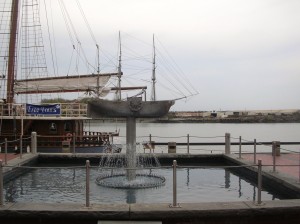
Ship Fountain on River St. The paddlewheels are turned by water flowing through the fountain

DSCN7709DSCN7711

DSCN7703

DSCN7707

DSCN7715

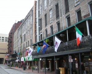
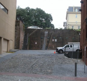
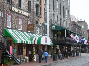
One of the alleyways connecting River Street with the upper levels of Bay Street.

DSCN7712DSCN7713DSCN7714

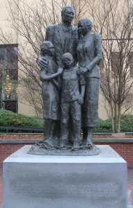
 DSCN7718 A statue memorializing the slave trade that stands looking out over the water on the River Street boardwalk caused controversy in the city, which is 50% black, partly due to its inscription, a quote from the poet Maya Angelou: ‘We were stolen, sold and bought together from the African continent. We got on the slave ships together. We lay back to belly in the holds of the slave ships together in each other’s excrement and urine together, sometimes died together, and our lifeless bodies thrown overboard together.’ This sentiment caused such divisiveness among the city’s residents that Angelou added a final thought: ‘Today we are standing up together, with faith and even some joy.’ Statue was erected in 2002.

DSCN7716DSCN7719DSCN7720DSCN7721

DSCN7722

Cotton Exchange and Mason’s Hall

DSCN7724DSCN7725DSCN7726DSCN7727

DSCN7729

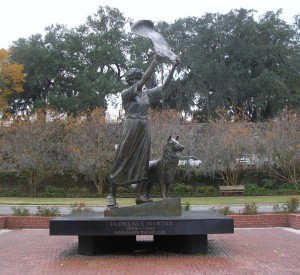
The Waving Girl of Cockspur Island

Late Tuesday afternoon, we went to check out a couple of shopping malls (which turned out being close to our hotel). We weren’t looking for anything in particular, just trying to get a feel for the area as a place to live, instead of just visit.

Wednesday morning, we headed back downtown to do a little shopping (“There was this store across from the bakery with the wooden goose in the window…”)

DSCN7732

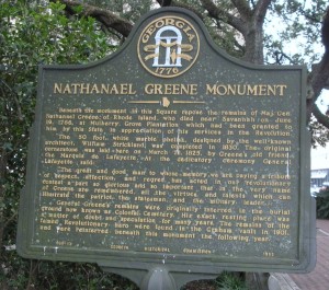
Nathaniel Greene (another Revolutionary War Hero) Monument and Marker on Johnson Square. Read on to find that the location of his remains was in doubt prior to being moved here.

Wednesday was also an opportunity to sample the food at the Pink House which had been recommended. We arrived for lunch and were seated in the bar area but we peeked in all the dining areas on the way in. The food was delicious. Keith had shrimp and grits. The grits were fried in a square almost like a piece of toast. Betty had the shrimp and scallops in Parmesan Cream Sauce over Fettuccine. The cheese bread straws could be habit forming!

After lunch, we headed over to the southside suburbs to check out housing developments. The man at the sales office was pleasant and helpful but our current thinking is that is not quite what we’ll be looking for when/if we leave Maryland.

Friends Playing Tourists: Exploring Baltimore (Part 3)

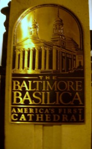
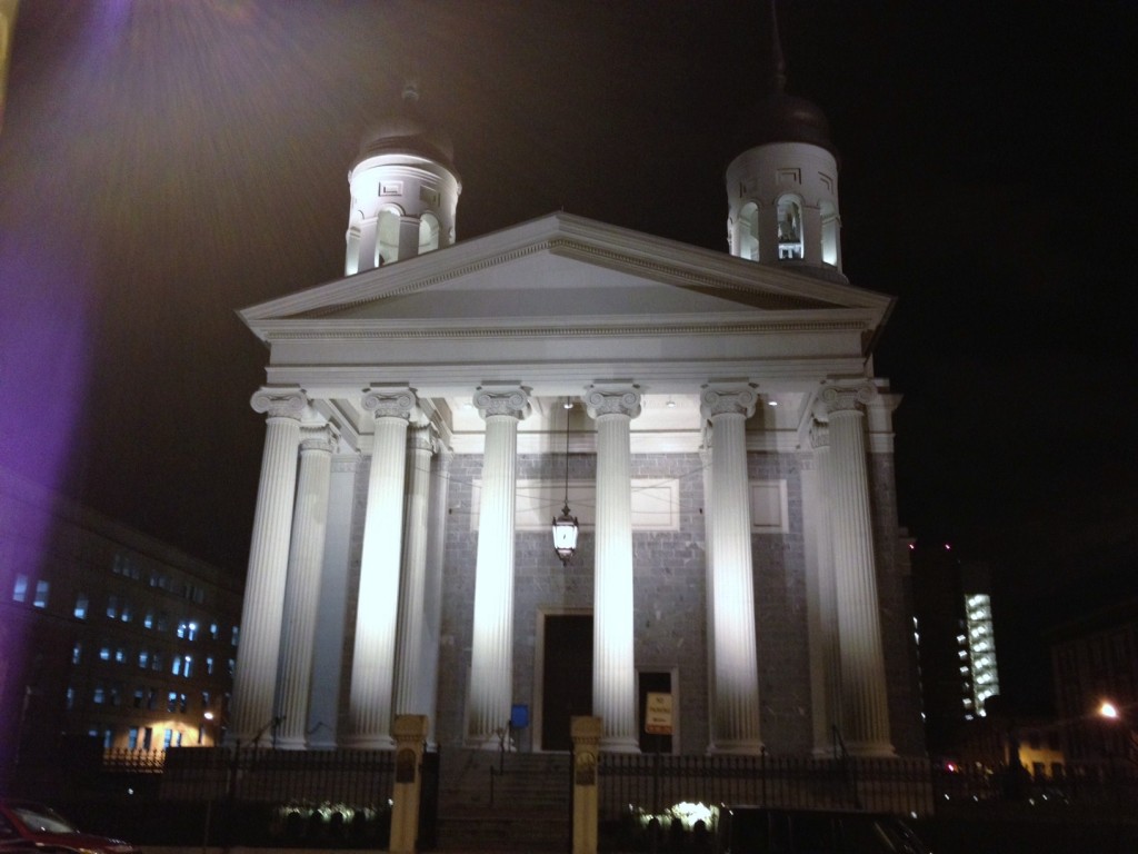
Saturday found us turning our sights toward Baltimore, Maryland’s largest (and perhaps best known) city. After furthering the world championship of Uno and consuming significant quantities of cranberry juice (with just the slightest hint of Cape Codder fixings), our morning got started around 10. Our quest for the day included Fort McHenry, the Zappa bust and the Baltimore Basilica.

This year, Maryland will be celebrating the 200th Anniversary of the War of 1812 (as evidenced by our current car tags as much as anything else). Following the Battle of Baltimore, Francis Scott Key observed the Flag (15 stars and 15 stripes at the time) being flown over Fort McHenry from his vantage point in Baltimore Harbor and penned the words to The Defence of Fort McHenry which would become our Star Spangled Banner. An interesting piece of info is that the tune was that of an old drinking song.


The original tune was “To Anacreon in Heaven,” an English drinking song written by John Stafford Smith with words by Ralph Tomlinson, Esq.  According to tradition it was first “sung at the Crown Anchor Tavern in the Strand, circa 1780.” Tomlinson was president of the Anacreontic Society, a gentlemen’s club popular with upscale London boozers. Anacreon (563-478 B.C.) was a Greek poet known for his songs of wine and women.

Copyrights were a different issue in those days.

Key was a Washington lawyer. He was onboard a British truce ship attempting to negotiate the release of a civilian friend of his who had been captured. While onboard, Key’s delegation learned of plans to launch the attack on Baltimore. He was detained onboard to protect the plans. Thus he witnessed the dawn’s breaking from the ship and saw the over-sized American flag which was raised at first light.

The Americans were under the command of Brevet Lt. Col. George Armistead and  did suffer casualties, amounting to four killed and 24 wounded.

The War of 1812 came about largely because of an ongoing tussle between the French and the English for control of the seas. The very young United States wasn’t really a player in that tussle but suffered on-going collateral damage as the English and French were constantly trying to disrupt the others’ supply lines. Along the way, American sailors were conscripted into service on foreign-flagged ships. Eventually, having had enough, President James Madison requested a declaration of war against the British.

Other events in the War that may stand out in your mind include the Battle of New Orleans (In 1814 we took a little trip, along with Colonel Jackson down the Mighty Mississipp’, remember Johnny Horton?) and the burning of Washington by the British and moving of the capital to Brookeville Maryland for the day.  The Americans had designs on removing the British from Canada as well but that wasn’t to be.

Our tour guide was an historian with the National Park Service. It was obvious that the man enjoyed his job! Our tour included the facts and enough drama and humor to make his presentation particularly memorable.

The fort is positioned at the mouth of the Baltimore Harbor at the convergence of the Patapsco River and the Chesapeake Bay.  Although the count of hits vs. misses show that much of the “rockets’ red glare” was visual effects. Cannon fire from the fort was designed to skip across the water and penetrate the hull near the waterline where the red hot cannonball was likely to start a fire and lead to the loss of the ship.
The fort is of the five-pointed star design with a dry moat around it which could be used as cover by musket men to fend off a land attack should an invading naval attack make it to shore. The fort was active until 1925 when it became a National Park. In 1939, it was designated a National Monument and Historic Shrine. It was also used as a Coast Guard base during World War II.
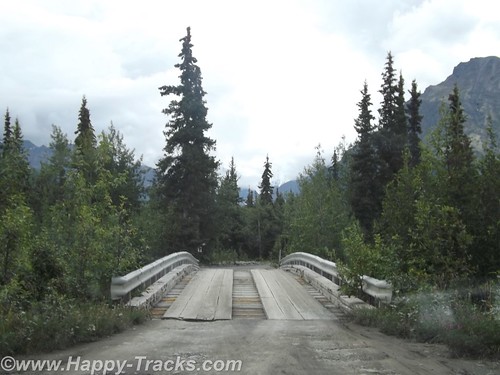
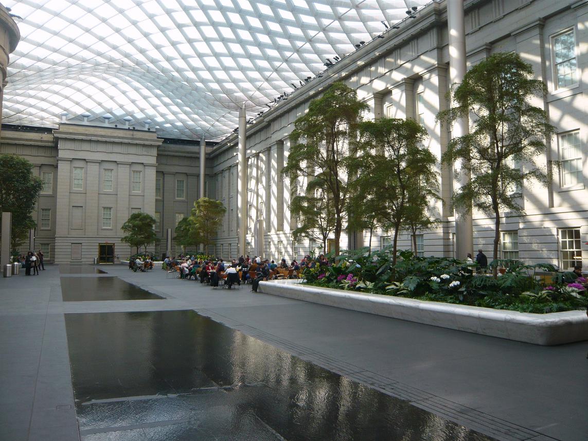
The Fort contains several buildings which served as officer and enlisted quarters, a brig and an ammunition store. Exhibits depict these uses as well as artifacts from the fort’s life.

The flagpole which supports the flag is two-pieces, much as a ship’s mast would be. This was apparently fairly common design for forts of this era. There was also an exhibit showing how the flagpole is anchored and a display of the original flagpole anchor.

There is a newly-constructed visitor center which contains the obligatory gift shop and a series of exhibits on the War of 1812 and the Star Spangled Banner. The audio-visual presentation is entertaining and has a quite dramatic ending with a view of the soaring and (on the day we were there) brightly sunlit view.

We made the requisite stop at the Gift Shop both to do our part to support the operations plus we needed to get a few things (postcard, shotglasses and a DVD featuring history and our favorite Park historian).

  A big commemorative celebration with tall sailing ships and fireworks and enough pomp and circumstance to be worthy of the occasion is planned to begin June 18, 2012.  Sounds like quite the party.

All this fresh air and exercise of climbing around the fort worked up our appetites. The suggestion was put forward to find some lunch, or considering the hour, maybe an early dinner and noodles were requested for the menu. Sounds like its time to find Baltimore’s Little Italy!

Bridge construction had the most direct route blocked so we wound our way back out to 95 and then on to circle the Inner Harbor.

  We headed to Little Italy with no particular restaurant in mind (as we’d never been there before) and cruised until we found a parking spot on High Street, conveniently in front of the door at Amicci’s. After perusing the choices, we decided that Amicci’s to be our choice.

Seated quickly, we ordered drinks and calimari as an appetizer. Our dinner choices included pasta dishes including mussels and chicken marsala. All our choices were tasty, served promptly and attractively. Amicci’s was a good choice. Happenstance was in our favor.

By the time we had finished our meal, it was nearing dark so we continued on to find the bust of Frank Zappa.

The bust of Frank Zappa was a gift to the city of Baltimore to honor a native son and matches another bust in Vilnius Lithuania. It was of particular interest to Steve as he had seen the matching bust during his travels in Lithuania. Finding it is a bit more of a trick. We were aware it was outside the Enoch Pratt Library in Baltimore. There are at least 3 Enoch Pratt libraries in Baltimore! It seems Enoch Pratt was a friend of Andrew Carnegie and also a successful businessman and philanthropist. The Zappa bust is located at the Southeast Anchor Branch on Eastern Avenue and was celebrated by the city with Frank Zappa Day when it was unveiled on September 19, 2010.

This picture is getting shared as I'm trying to figure exactly what happened. A slow shutter speed accounts for the light trails but the center shows a relatively clear face of the bronze Zappa bust.

We still had hoped to make one more site in travels around Baltimore but we weren’t sure we had time to make it. America’s First Basilica is in Baltimore. It usually closes at 6:00 and we were past that BUT on Saturday evening, the church is open for Evening Mass. Mass brings parishioners and parking was at a premium so we dropped Steve and Russ by the door and went to circle the block. Second time around we found a spot as Mass was letting out.

It’s a beautiful building and the night lighting shows it off dramatically. The Baltimore Basilica, built from 1806-1821, was closed from April 2004 until November 2006, for a major restoration to return the church to its original design, as envisioned by America’s first bishop, John Carroll, and as planned by renowned architect Benjamin Henry Latrobe. The Basilica reopened with much fanfare and celebration, just in time to commemorate her 200th Anniversary. Within the first year of reopening, over 200,000 visitors were welcomed from all over the world, to walk through history, rejoice in faith, and admire the Basilica’s stunning architecture and artwork. The Basilica is also one of Baltimore’s beloved cultural institutions, offering educational tours daily, as well as hosting uplifting concerts and informative lectures.

It had been a full day and the Uno cards were calling. We drove past Camden Yards and back to Germantown for some more serious socializing.


Friends Playing Tourists in DC: A Tribute to Our Military Heroes (Part 2.2)

From the Declaration monument, we made our way to one of the newer and more well-known memorials, the World War II Memorial. It is both striking in its design (even with the water drained for the cold weather as it is now) and awe-inspiring in its sobriety. It is also very popular at all times of year.

The World War II Memorial honors the service of sixteen million members of the Armed Forces of the United States of America, the support of countless millions on the home front, and the ultimate sacrifice of 405,399 Americans.  On May 29, 2004, a four-day “grand reunion” of veterans on the National Mall culminated in the dedication of this tribute to the legacy of “The Greatest Generation.” See more at the official website.

It is situated between the Washington and Lincoln adjacent to the Reflecting Pool. This was the first time that Steve and Russ had been to see it.

The Memorial includes granite columns for each of the states, districts and territories that sent their sons and daughters to fight.

Connecting the granite columns are bronze ropes just as the country was bound together in a common purpose. (More than a few lament the passing of these binds while rejoicing that their cause has ended.)

At opposite ends of the circle are soaring pavilions to signify the two major fronts of the war, the Atlantic (sea, land and air)  and the Pacific (sea, land and air).In the center of the circle are pools of water (during normally warmer months). At various spots are bronze bas-reliefs and engraved granite recalling significant events or thoughts of the period.One of my favorite parts of this Memorial is the wall of over 4,000 gold stars commemorating those who were casualties or missing after the war. (We didn’t get a picture of them.)

Our next stop was the Korean War Veterans Memorial, located southeast of the Lincoln Memorial on the National Mall. The Memorial commemorates the many who died (USA 54,246 United Nations 628,833), went missing (USA 8,177 UN 470,267), captured (USA 7,140 UN 92,970), and wounded (USA 103,284 UN 1,064,453) for a country of people they never knew.

The Memorial contains 19 larger-than-life figures are made from stainless steel and are depicted marching next to a wall of polished granite where a multitude of faces look on. There is something haunting in the sculpture as well as the faces etched and reflections. The visit to the Korean Veterans Memorial was a first for the guys.

Our next stop was the Iwo Jima Memorial.

“The United States Marine Corps War Memorial stands as a symbol of this grateful nation’s esteem for the honored dead of the U.S. Marine Corps. While the statue depicts one of the most famous incidents of World War II, the memorial is dedicated to all Marines who have given their lives in the defense of the United States since 1775. ” You can read more about the Memorial at the official website.

The Pentagon September 11 Memorial opened on September 11, 2008 to honor the memory of the 184 people who died in the attack there on September 11, 2001 both on the ground and onboard the airplane.

The Memorial is located on the rounds of the Pentagon complex and not easily reached. The options include taking the Yellow or Blue Line Metro to Pentagon Station and then walking around to the opposite side of the complex or driving and parking on the opposite side of I-395 (although 5 handicap parking spaces are available next to the Memorial). There is also a walking tunnel under 395 from near the Pentagon City Mall. I believe that there is also a drop off for tour buses nearby so the “difficulty” and long walk is only if you’re traveling on your own.

For each person who died there, there is a bench rising from the ground on one end and suspended in the air on the other. Below each bench is a pool of moving water. On the end of the bench, the name of the person is engraved. You can tell whether the person was inside the Pentagon or onboard the airplane from which end of the bench with their name is anchored in the earth and which end is elevated. If the anchored end is closer to the building, they were inside the Pentagon. If the anchored end is away from the building, they were onboard the airplane.

The benches are arranged based on the year of birth of the person. The younger children onboard the airplane are closer to the entrance. Thankfully, there are also fewer of them in that area. If more than one member of a family died during the attack, family names are listed in the reflecting pool under the bench, in addition to the separate benches that have been created for each individual. A wall along the edge of the Memorial begins at a height of 3 inches and rises to a height of 71 inches, the ages of the youngest and oldest victim of the attack, and approximately 85 paperbark maple trees are planted on the memorial grounds.