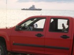
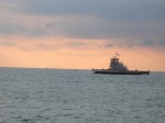
 During our last visit with Russ and Father Steve, we had spied something on the eastern side of the Potomac while coming home from Mt. Vernon. A little web research identified Ft. Washington as our target.
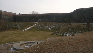
As it turns out, Ft. Washington is still a fort. After all these years of being so close, who knew? Today’s adventure would take us there to see close up. Fort Washington is under the care and ownership of the National Park Service.
Originally the location was home to the Digges estate. The Digges family were friends of George and Martha Washington. In fact, George celebrated his 43rd birthday here. It has been called Warburton Manor. The first military installation was called Ft. Warburton. The site is across the river and slightly upriver from Mt. Vernon. President George Washington suggested it be built. With perpendicular earthen walls, it stood 14 feet above the bottom of a ditch which surrounded the river side of the fort. It included a tower with six cannon overlooking the river. But Ft. Warburton lasted only 5 years.
In August 1814, British forces entered Washington through Bladensburg MD and burned the White House, Capitol and most other government buildings. The next day British warships sailed up the Potomac headed for Alexandria VA. Capt. Samuel Dyson feared Warburton would wind up in British hands so he evacuated and used the powder to destroy the fort. (You may note that Samuel Dyson is not a name you hear in discussions of early American heroes.)
James Monroe, acting Secretary of Defense, engaged Pierre L’Enfant (famous for the layout of Washington) within a month to build a replacement even as the threat diminished with the Treaty of Ghent being signed in December 1814 and the British defeat at the Battle of New Orleans in January 1815. L’Enfant was subsequently dismissed and replaced and the construction was completed in October 1824 at a cost of $426,000 (roughly the price of some of the larger homes in the nearby Ft. Washington community.
As the country moved closer to the Civil War, it became clear that Ft. Washington’s position guarding the capital and across the river from Virginia was more critical. At one time, the fort was under the command of Lt. George Washington Custis Lee, son of General Robert E. Lee. With the growing unrest, he resigned his commission and moved to Virginia. After Lee’s departure, forty Marines were assigned to defend Ft. Washington but were replaced in January 1861 a company of Army recruits. The day after Ft. Sumter fell, the Army’s 1st Artillery took over Ft. Washington. For a time, Ft. Washington stood as the only defense for Washington but was supplemented by a string of 68 enclosed forts and batteries encircling the city.
The fort served during the War of 1812, the American Civil War, the Spanish American War and into the 20th century as a potential defense during both World Wars before reverting to the Department of Interior.
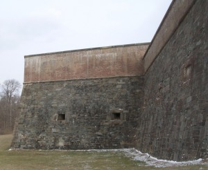
The new fort was designed to serve as a link in the defense of the East Coast of the USA from Naval attack, not just the nation’s capital. During the Civil War, the development of armored ships and rifled cannon shifted the nature of warfare, allowing the ships to approach closer than wooden ships could and to fire rifled cannon which were capable of demolishing brick fortifications and with greater range.
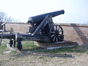
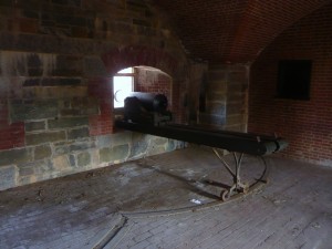
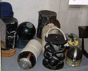
This 24 pounder cannon has an effective range of 1900 yards, almost double the distance to the Virginia shoreline. This is all that remains of the fort’s 1861 armament.
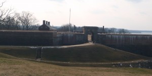
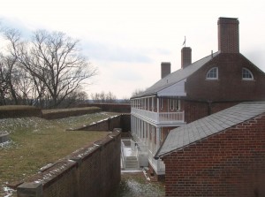
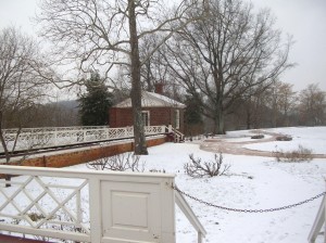
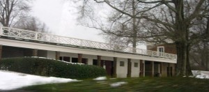
Fort Washington has evolved over the years and is not just one structure but several on the property that were built to meet the changes in strategy and technology. It is also one of only a handful of the seacoast fortifications still in their original form.
In 1872, the US Army turned the fort over to the Army engineers who constructed new gun positions. In 1896, new concrete batteries were built near the fort for Endicott-era guns, 10-inch rifles on disappearing carriages, 12 inch mortar batteries and 4 inch rifles. Land was purchased and similar batteries were built across on the Virginia side of the Potomac — Ft. Hunt.
In 1921, after the post was no longer needed, it became the headquarters of the 12th infantry. During WWII, the Adjutant General’s Officer Candidate School. was based there. In 1946 the fort was deactivated and became part of the National Park System so that it could be preserved historically and provide recreational opportunities. One Facebook friend says he attended a military school there (or near there) in 2005.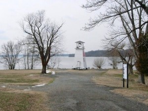
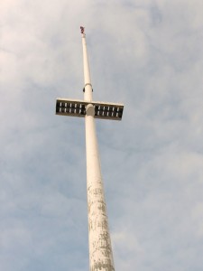
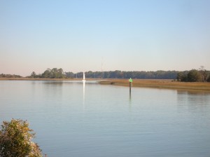
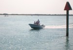
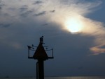
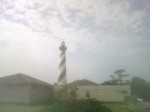
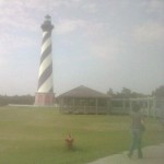
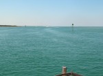
On the point there is also a navigational channel marker which has served as a fog warning.
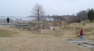
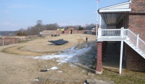
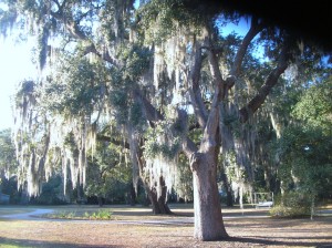
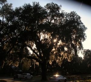
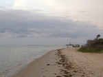
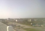
Our visit was on a cold but sunny day and we started our tour by driving through the park and taking the path down by the river. It’s obvious that the park is used by many nearby residents as a place for walking, bike riding and exercising the dogs.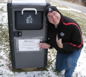
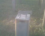
On leaving the car, we came across this trash can with a solar powered compactor.
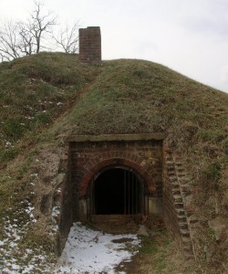
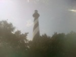
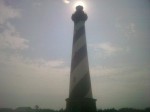
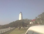
The old light house/fog signal is small (even compared to 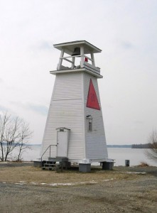 Massachusetts lighthouses), less than 30 feet high.
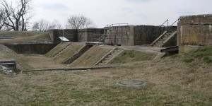
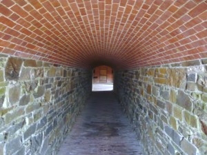
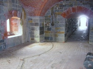
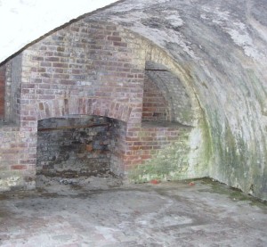
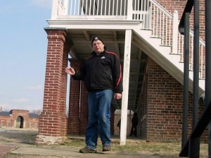
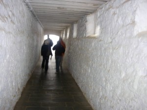
The area between the main fortification and the river has been used over the years for munitions storage, kitchens and later for mounting of cannons and other artillery. From this area is also the entrance called the sally port. Steve walked in this way but found that entrance locked.
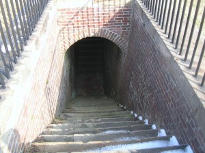
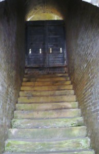
The stairway from the water battery inside the fort. Doors at the landing below provided protection and thus a sally port.
The stairway from the water batter outside the fort. Doors at the bottom and at the top (shown) provided additional security.
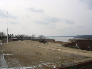
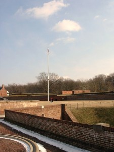
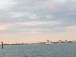
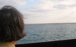
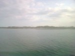
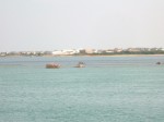
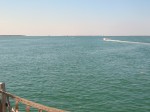
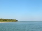
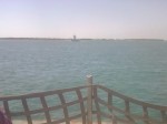
Mt. Vernon lies just beyond the tree-covered point on the right.
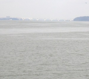
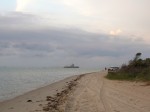
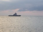
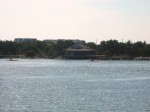
Looking upriver. The bridge in the distance is the Woodrow Wilson connecting MD to Alexandria VA via I95/495
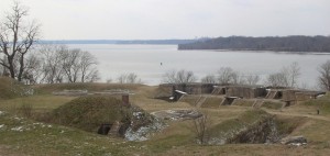
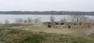
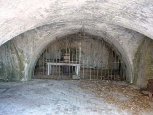
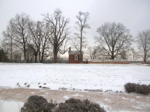
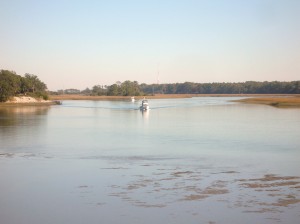
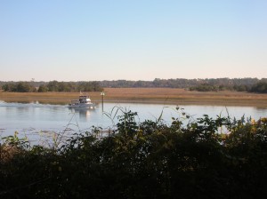
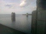
The fort is located on a high point at the juncture of the Potomac River and Piscataway Creek, slightly upriver from Mt. Vernon. This area is known as the Water Battery. In this area were several support facilities for the fort including the powder magazine, storehouse, saddlers shop, blacksmith, stables and the shot house. In the late 19th century, the area underwent major changes as platforms for four fifteen inch guns were added. Later, there were provisions for the Endicott guns. Guns located in this area could ricochet across the water (like skipping rocks) to more directly and accurately hit attacking ships. 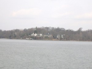
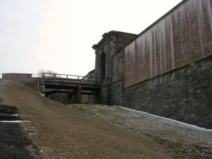
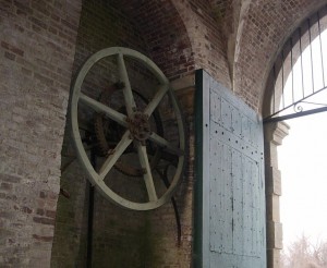
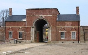
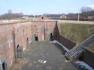
 Two sets of gates protected the main entrance. During renovations made in the 1840s, a drawbridge was added to further protect the entrance. A series of chains and counterweights provided for rapid closure in case of attack from the land side. Additionally, 13 guns provided protection. Gunrooms were built flanking the main entrance (or sally port) to aid in that protection.
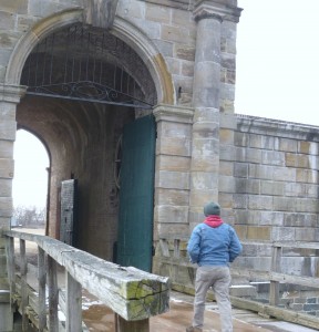
The main entrance or sally port from inside.
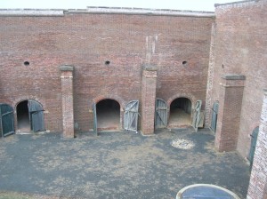 The northwest demi-bastion was designed to contain two levels of guns but only the upper row was installed. The lower level was used by laundresses who lived with their soldier husbands until better quarters were built later. The area was also used for storerooms.
 Also part of the 1840s improvements was the addition of this protected passageway called a capionere which projected from the landside wall and included two levels of guns mounted on swivel tracks to facilitate aiming.
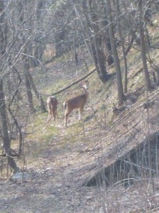
The capionere also provided a hidden point to keep an eye on the four-legged neighbors.
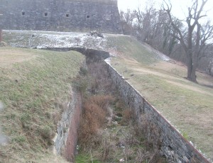
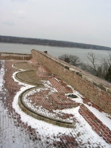
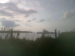
There was also a battery along the outer wall of the ditch surrounding the fort. This provided the capability to fire muskets against attackers who had entered the ditch as well as towards the river.
Postern gate, now sealed up
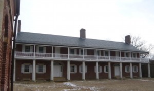
Officers quarters
Looking across to Enlisted quarters
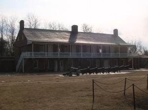
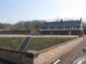
Another view across the main parade ground
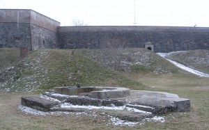
Looking south across the parade ground from above the front gate. A shed (no longer there) at the far corner provided lookout and control capabilities for the Endicott era mines in the river.
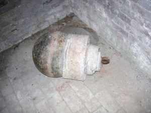
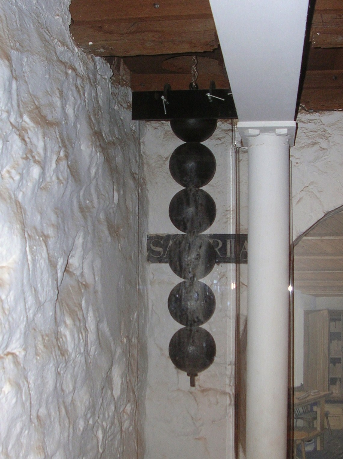
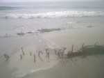
Part of the river mines system from the late 19th century.
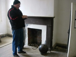
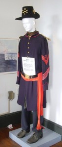
Father Steve with a cannonball in the guard shack.

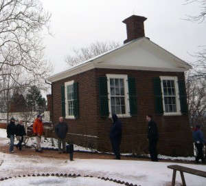
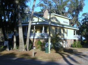
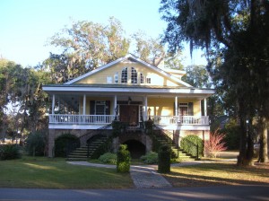
Exiting the fort, you see the visitor center in the yellow house on the hill. 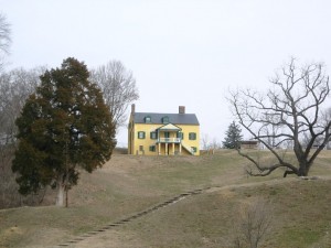 At some point, it was the commanding officers’ quarters but it is not clear during which era. The visitor center contains an audio-vsual presentation as well as some historical
 exhibits. It also contains the highly sought after (at least by Betty) gift shop! On this particular day, it also contained the first place with heat that we had entered since leaving the car.
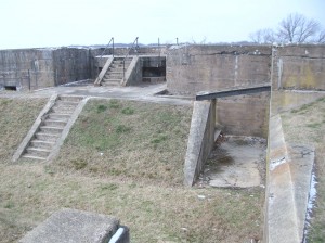
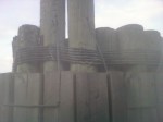
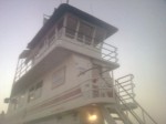
Outside the visitor center is the Battery Commander’s Center (the concrete tower) and Battery Decatur.
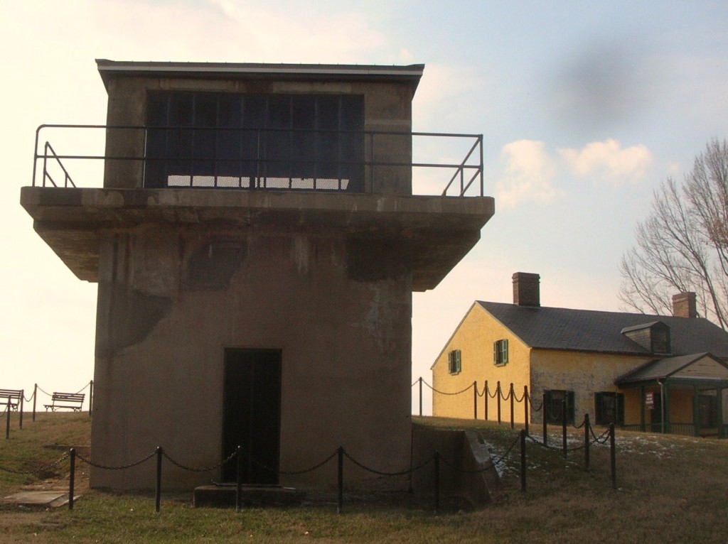
Battery Decatur was completed in 1891 and is made of reinforced concrete. It reflected the shift in defensive structures to rifled projectiles. On the top were mounted 10 inch guns which used the recoil energy to lower the gun out of sight for reloading. The guns had a range of about 7 miles.  The lower stories had storerooms for shot, powder and shells and cranes to lift the ordinance to the upper floor guns.
During WWI, the two guns of Battery Decatur were shipped to Fort Monroe Va enroute to use in France. Ft. Washington was garrisoned by the DC Coast Artillery and a number of military units were organized there. The fort was also used as a staging area for troops headed overseas.
Following that, the fort was occupied by the 3rd Battalion 12th Infantry. Its soldies participated in a number of state functions until 1939 when the 3rd Battalion was moved to Fort Myer near Arlington Cemetery. In ’39, the fort was transferred to the Department of Interior and was home to a Civilian Conservation Corps (CCC) barracks.
Following the US entry into WWII, Ft. Washington was returned again to the Department of War. Further expansion occurred with additional buildings for students and to provide support services for training military personnel. The Veterans Administration used part of the area and buildings as public housing.
In 1946, the fort was once transferred to the Department of Interior with may of the WWI and WWII era buildings removed. So far, it has remained a public park since.
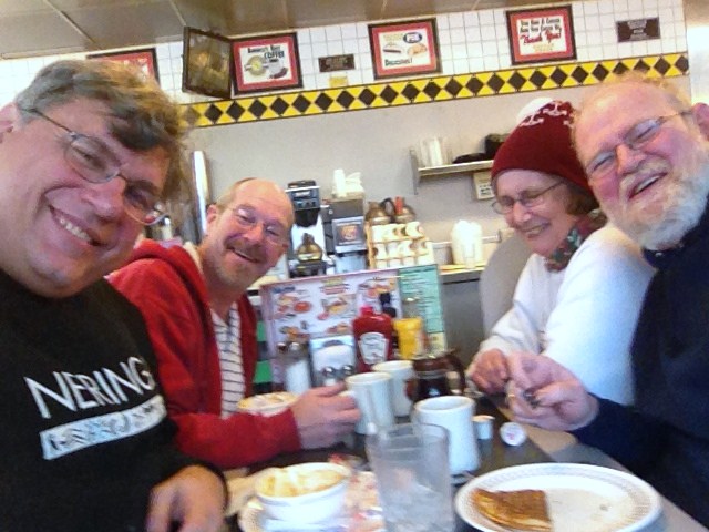
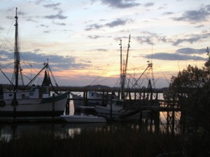
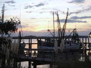
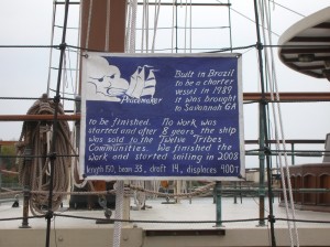
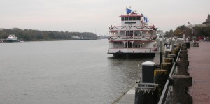
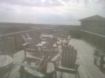
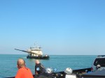
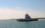
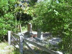
After all the tramping around up and down stairs and hills and breathing all the fresh winter air, it was time for a relaxed meal. So it was over to Proud Mary’s at the Ft. Washington Marina.
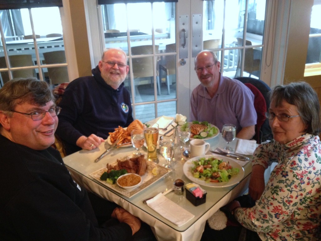 By the time we had finished our meal, it was time to head for home and resume the hotly-contested Uno championship.


")
")

")
")
")
")
")
")
")


")
")
")
")


")


