Summer 2014: Alaska via the AlCan; Little Big Horn National Monument

Little Big Horn National Monument sets in south central Montana far away from any large cities. We stayed overnight in Hardin, MT about 16 miles away on the edge of the Crow Agency land.
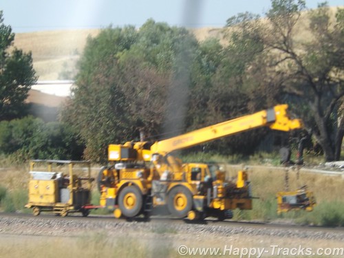
Paralleling (roughly) the highway between Hardin and the monument is a railroad track which might not generally be notable but this particular day there was a convoy of track maintenance equipment on the move and we got a couple of pictures since we usually see this type of equipment waiting to go rather than moving down the track.
DSCF8992
Little Big Horn National Monument memorializes the U.S. Army’s 7th Cavalry and the Sioux and Cheyenne in a famous battle. During the course of our visit, we heard about the actual battle as well as some perspective on how the battle came to be.
For the most part, the battlefield is just the landscape. There are markers, a road, the visitors’ center and a veterans’ cemetery. It is a place where quiet introspection and retrospection is possible.
lbhmap
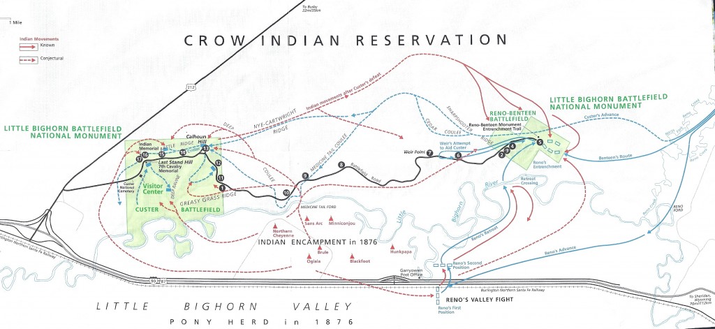
The map above is from the NPS information sheet. I suggest you enlarge it in a separate window or tab for reference.
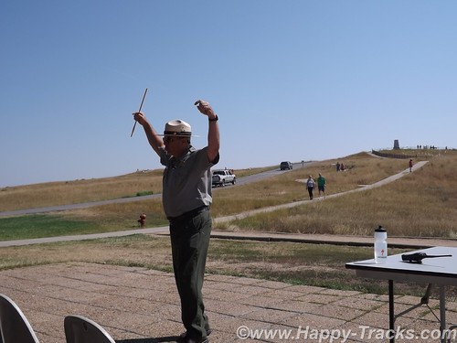
At our hotel the night before, one of the other guests told us about the interpretive ranger presentation and recommended we attend. Ranger Interpreter Adelson gave quite an animated presentation of the battle. So animated that at the conclusion, he needed to sit down and recuperate a bit before fielding questions. Very impressive.
DSCF9012
The Battle of the Little Bighorn was fought in a landscape of ridges, steep bluffs, and ravines of the Little Bighorn River. The combatants were warriors of the Lakota Sioux, Northern Cheyenne, and Arapaho tribes, battling men of the 7th Regiment of the U.S. Cavalry. The Battle of the Little Bighorn has come to symbolize the clash of two vastly dissimilar cultures: the buffalo/horse culture of the northern plains tribes, and the highly industrial/agricultural based culture of the U.S. This battle was not an isolated soldier versus warrior confrontation, but part of a much larger strategic campaign designed to force the capitulation of the nonreservation Lakota and Cheyenne.
In 1868, many, but not all, Lakota leaders agreed to a treaty, known as the Fort Laramie Treaty that created a large reservation in the western half of present day South Dakota and required that they give up their nomadic life and settle into a stationary life, dependent on Government-supplied subsidies. The stationary life on the reservation would have the added benefit of avoiding conflict with other tribes in the region, with settlers, and with railroad surveys. Lakota leaders such as Sitting Bull and Crazy Horse rejected the reservation system as did many roving bands of hunters and warriors and felt no obligation to conform to the treaty restrictions, or to limit their hunting to the land assigned by the treaty. Their sporadic forays off the set aside lands brought them into conflict with settlers and enemy tribes outside the treaty boundaries.
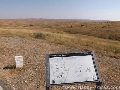
DSCF9003
Tension escalated in 1874, when Lt. Col. Custer was ordered to make an exploration of the Black Hills inside the boundary of the Great Sioux Reservation. He was to map the area including identifying a suitable site for a future military post. During the expedition, professional geologists discovered deposits of gold. Word of the discovery of mineral wealth caused an invasion of miners and entrepreneurs to the Black Hills in direct violation of the treaty of 1868. The government made attempts to keep the settlers out of the Black Hills but that was unsuccessful. The U.S. negotiated with the Lakota to purchase the Black Hills, but the offered price was rejected by the Lakota as the land was sacred to the Indians. The climax came in the winter of 1875, when the Commissioner of Indian Affairs issued an ultimatum requiring all Sioux to report to a reservation by January 31, 1876. The deadline came with virtually no response from the Indians, and matters were handed to the military.
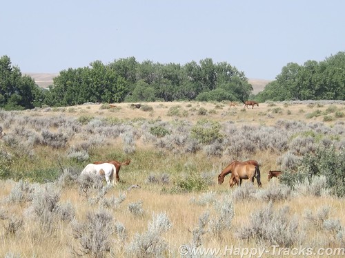
DSCF9005
General Philip Sheridan, commander of the Military Division of the Missouri, devised a strategy that committed several thousand troops to find and to engage the Lakota and Cheyenne, who now were considered “hostile”, with the goal of forcing their return to the Great Sioux Reservation. The campaign was set in motion in March, 1876, when the Montana column, a 450 man force of combined cavalry and infantry commanded by Colonel John Gibbon, marched out of Fort Ellis near Bozeman, Montana. A second force, numbering about 1,000 cavalry and infantry and commanded by General George Crook, was launched during the last week of May, from Fort Fetterman in central Wyoming. In the middle of May, a third force, under the command of General Alfred Terry, marched from Fort Abraham Lincoln, Bismarck, Dakota Territory, with a command comprised of 879 men. The bulk of this force was the 7th Cavalry, commanded by Lt. Col. George Armstrong Custer.
It was expected that any one of these three forces would be able to deal with the 800-1,500 warriors they likely were to encounter. The three commands of Gibbon, Crook, and Terry were not expected to launch a coordinated attack on a specific Indian village at a known location. Inadequate, slow, and often unpredictable communications hampered the army’s coordination of its expeditionary forces. Furthermore, it must be remembered that their nomadic hunting put the Sioux and their Cheyenne allies constantly on the move. No officer or scout could be certain how long a village might remain stationary, or which direction the tribe might choose to go in search of food, water, and grazing areas for their horses.
The tribes had come together for a variety of reasons. The well watered region of the Powder, Rosebud, Bighorn, and Yellowstone rivers was a productive hunting ground. The tribes regularly gathered in large numbers during the spring to celebrate their annual sun dance ceremony. The sun dance ceremony had occurred about two weeks earlier near present day Lame Deer, Montana. During the ceremony, Sitting Bull received a vision of soldiers falling upside down into his village. He prophesied there soon would be a great victory for his people.
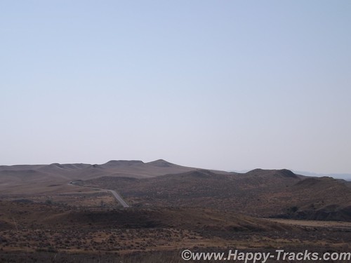
DSCF8996
On the morning of June 25, the camp was ripe with rumors about soldiers on the other side of the Wolf Mountains, 15 miles to the east, yet few people paid any attention. In the words of Low Dog, an Oglala Sioux, “I did not think anyone would come and attack us so strong as we were.”
On June 22, General Terry decided to detach Custer and his 7th Cavalry to make a wide flanking march and approach the Indians from the east and south. Custer was to act as the hammer, and prevent the Lakota and their Cheyenne allies from slipping away and scattering, a common fear expressed by government and military authorities. General Terry and Colonel Gibbon, with infantry and cavalry, would approach from the north to act as a blocking force or anvil in support of Custer’s far ranging movements toward the headwaters of the Tongue and Little Bighorn Rivers. The Indians, who were thought to be camped somewhere along the Little Bighorn River, “would be so completely enclosed as to make their escape virtually impossible”.
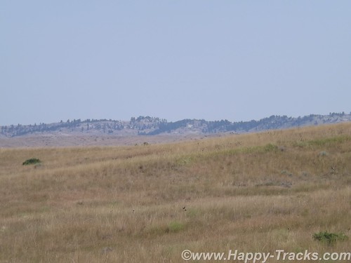
DSCF9014
On the evening of June 24, Custer established a night camp twenty-five miles east of where the battle would take place on June 25-26. The Crow and Arikara scouts were sent ahead, seeking actionable intelligence about the direction and location of the combining Lakota and Cheyenne. The returning scouts reported that the trail indicated the village turned west toward the Little Bighorn River and was encamped about twenty-five miles west of the June 24 camp. Custer ordered a night march that followed the route that the village took as it crossed to the Little Bighorn River valley. Early on the morning of June 25, the 7th Cavalry Regiment was positioned near the Wolf Mountains about twelve miles from the Lakota/Cheyenne encampment along the Little Bighorn River. Today, historians estimate the village numbered 8,000, with a warrior force of 1,500-1,800 men. Custer’s initial plan had been to conceal his regiment in the Wolf Mountains through June 25th, which would allow his Crow and Arikara scouts time to locate the Sioux and Cheyenne village. Custer then planned to make a night march, and launch an attack at dawn on June 26; however, the scouts reported the regiment’s presence had been detected by Lakota or Cheyenne warriors. Custer, judging the element of surprise to have been lost, feared the inhabitants would attack or scatter into the rugged landscape, causing the failure of the Army’s campaign. Custer ordered an immediate advance to engage the village and its warrior force.
At the Wolf Mountain location, Custer ordered a division of the regiment into four segments: the pack train with ammunition and supplies, a three company force (125) commanded by Captain Frederick Benteen, a three company force (140) commanded by Major Marcus Reno and a five company force (210) commanded by Custer. Benteen was ordered to march southwest, on a left oblique, with the objective of locating any Indians, “pitch into anything” he found, and send word to Custer. Custer and Reno’s advance placed them in proximity to the village, but still out of view. When it was reported that the village was scattering, Custer ordered Reno to lead his 140 man battalion, plus the Arikara scouts, and to “pitch into what was ahead” with the assurance that he would “be supported by the whole outfit”.
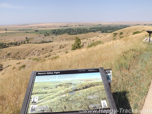
The Lakota and Cheyenne village lay in the broad river valley bottom, just west of the Little Bighorn River.
DSCF8999
As instructed by his commanding officer, Reno crossed the river about two miles south of the village and began advancing downstream toward its southern end. Though initially surprised, the warriors quickly rushed to fend off Reno’s assault. Reno halted his command, dismounted his troops and formed them into a skirmish line which began firing at the warriors who were advancing from the village. Mounted warriors pressed their attack against Reno’s skirmish line and soon endangered his left flank. Reno withdrew to a stand of timber beside the river, which offered better protection. Eventually, Reno ordered a second retreat, this time to the bluffs east of the river. The Sioux and Cheyenne, likening the pursuit of retreating troops to a buffalo hunt, rode down the troopers. Soldiers at the rear of Reno’s fleeing command incurred heavy casualties as warriors galloped alongside the fleeing troops and shot them at close range, or pulled them out of their saddles onto the ground.
Reno’s now shattered command recrossed the Little Bighorn River and struggled up steep bluffs to regroup atop high ground to the east of the valley fight. Benteen had found no evidence of Indians or their movement to the south, and had returned to the main column. He arrived on the bluffs in time to meet Reno’s demoralized survivors. A messenger from Custer previously had delivered a written communication to Benteen that stated, “Come on. Big Village. Be Quick. Bring Packs. P.S. Bring Packs.” An effort was made to locate Custer after heavy gunfire was heard downstream. Led by Captain Weir’s D Company, troops moved north in an attempt establish communication with Custer.
Assembling on a high promontory (Weir Point) a mile and a half north of Reno’s position, the troops could see clouds of dust and gun smoke covering the battlefield. Large numbers of warriors approaching from that direction forced the cavalry to withdraw to Reno Hill where the Indians held them under siege from the afternoon of June 25, until dusk on June 26. On the evening of June 26, the entire village began to move to the south.
The next day the combined forces of Terry and Gibbon arrived in the valley bottom where the village had been encamped. The badly battered and defeated remnant of the 7th Cavalry was now relieved. Scouting parties, advancing ahead of General Terry’s command, discovered the dead, naked, and mutilated bodies of Custer’s command on the ridges east of the river. Exactly what happened to Custer’s command never will be fully known. From Indian accounts, archeological finds, and positions of bodies, historians can piece together the Custer portion of the battle, but not with absolute certainty.
DSCF8998
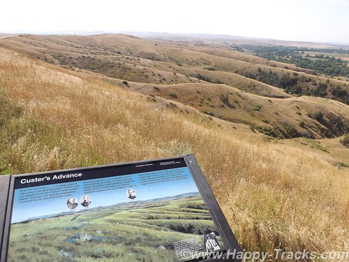
It is known that, after ordering Reno to charge the village, Custer rode northward along the bluffs until he reached a broad coulee known as Medicine Tail Coulee, a natural route leading down to the river and the village. Archeological finds indicate some skirmishing occurred at Medicine Tail ford. For reasons not fully understood, the troops fell back and assembled on Calhoun Hill, a terrain feature on Battle Ridge. The warriors, after forcing Major Reno to retreat, now began to converge on Custer’s maneuvering command as it forged north along what, today, is called Custer or Battle Ridge.
Dismounting at the southern end of the ridge, companies C and L appear to have put up stiff resistance before being overwhelmed. Company I perished on the east side of the ridge in a large group, the survivors rushing toward the hill at the northwest end of the long ridge. Company E may have attempted to drive warriors from the deep ravines on the west side of the ridge, before being consumed in fire and smoke in one of the very ravines they were trying to clear. Company F may have tried to fire at warriors on the flats below the National Cemetery before being driven to the Last Stand Site.
About 40 to 50 men of the original 210 were cornered on the hill where the monument now stands. Hundreds of Lakota and Cheyenne warriors surrounded them. Toward the end of the fight, the soldiers killed their horses and used their bodies as defensive shielding. In the end, the warriors quickly rushed to the top of the hill, cutting, clubbing, and stabbing the last of the wounded. Superior numbers and overwhelming firepower brought the Custer portion of the Battle of the Little Bighorn to a close.
The battle was a momentary victory for the Sioux and Cheyenne. General Phil Sheridan now had the leverage to put more troops in the field. Lakota Sioux hunting grounds were invaded by powerful Army expeditionary forces, determined to pacify the Northern Plains and to confine the Lakota and Cheyenne to reservations. Most of the declared “hostiles” had surrendered within one year of the fight, and the Black Hills were taken by the U.S. without compensation.
General Custer has often been portrayed as arrogant and somewhat foolish for starting the attack and maybe he was. We were somewhat shocked to overhear a woman telling the child with her to put back the Custer souvenir “You don’t want that. He’s an asshole.” . In the War of Northern Aggression/War Between the States/Civil War (mixed audience here), he was noted for fighting against the odds and winning. His widow was given the table used to sign the surrender papers as testament to his role in ending the war militarily. The National Park Service has a discussion of General Custer’s military career here. There is also a discussion of Chief Sitting Bull here.
In 1879, the Little Bighorn Battlefield was designated a national cemetery administered by the War Department. In 1881, a memorial was erected on Last Stand Hill, over the mass grave of the Seventh Cavalry soldiers, U.S. Indian Scouts, and other personnel killed in battle. In 1940, jurisdiction of the battlefield was transferred to the National Park Service. These early interpretations honored only the U.S. Army’s perspective, with headstones marking where each fell.
The essential irony of the Battle of the Little Bighorn is that the victors lost their nomadic way of life after their victory. Unlike Custer’s command, the fallen Lakota and Cheyenne warriors were removed by their families, and “buried” in the Native American tradition, in teepees or tree-scaffolds nearby in the Little Bighorn Valley. The story of the battle from the Native American perspective was largely told through the oral tradition.
In 1991, the U. S. Congress changed the name of the battlefield and ordered the construction of an Indian Memorial. DSCF9009
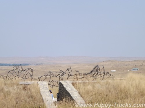
In 1996, the National Park Service – guided by the Little Bighorn Battlefield National Monument Advisory Committee, made up of members from the Indian nations involved in the battle, historians, artists and landscape architects – conducted a national design competition. In 1997 a winning design was selected.
Note the term Indian. Its used a lot out here rather than Native Americans or individual nation names. It’s not my intent to offend.

  • 7 December 1886: The site was proclaimed National Cemetery of Custer’s Battlefield Reservation to include burials of other campaigns and wars. The name has been shortened to “Custer National Cemetery”.
  • 5 November 1887: Battle of Crow Agency, three miles north of Custer battlefield
  • 14 April 1926: Reno-Benteen Battlefield was added
  • 1 July 1940: The site was transferred from the United States Department of War to the National Park Service
  • 22 March 1946: The site was redesignated “Custer Battlefield National Monument”.
  • 15 October 1966: The site was listed on the National Register of Historic Places.[4]
  • 11 August 1983: A wildfire destroyed dense thorn scrub which over the years had seeded itself about and covered the site.[5] This allowed archaeologists access to the site.
  • 1984, 1985: Archaeological digging on site.
  • 10 December 1991: The site was renamed Little Bighorn Battlefield National Monument by a law signed by President George H. W. Bush
DSCF9016
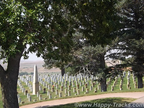
Custer National Cemetery is located at the National Monument grounds. These veterans are from later wars. They stopped accepting new internees in 1978 due to space constraints.
Here are a couple of other Battlefield maps. Open in another tab/window From Smithsonian Magazine
From Mohican Press
You can see all of the pictures from this leg of the trip here.
We invite you to continue along with us and hope you enjoy the account!
butte2glendivemap
Don’t forget the trip calendar we put together at CafePress. We think it turned out pretty well and would make a great holiday gift. calendar

Summer 2014: Alaska via the AlCan; Butte Montana

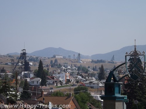
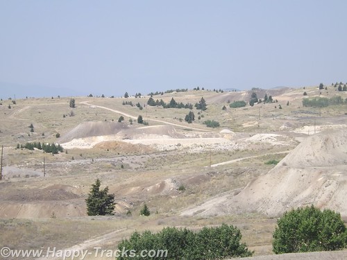
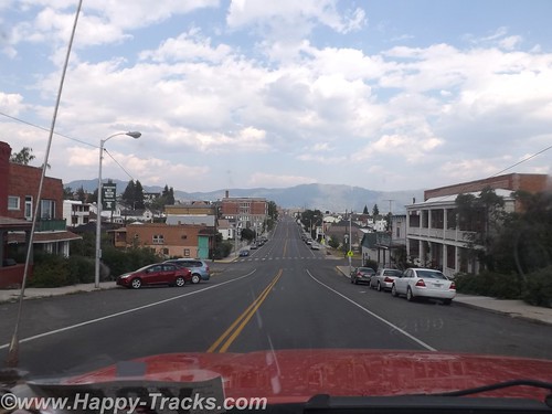
Butte, Montana is a city of about 35,000 these days and is the fifth largest city in Montana. Its history revolves around the mining industry and was a boomtown during the early 20th century with all the stages of development from camp, to boomtown and mature city. It shifted to a town of historic preservation and environmental cleanup. Butte is unlike other mining towns in that the mining operations are woven within the fabric of the city itself.
DSCF8905
We arrived from Missoula and stopped on the west side of town for fuel. We knew we wanted to see the Mining Museum so we spun the GPS roulette wheel and decided to take a ride by to see if they were still open. I call it the GPS roulette wheel because sometimes the route the GPS gives may not be that workable. In this particular case, it routed us via Bluebird Trail, or the back way, into the World Museum of Mining. A bluebird could follow the trail easily but it was a bit rugged for us, just a dirt road with deep ruts that wandered up and down a few low hills past some unused equipment and a dog that seemed interested in chasing the interlopers away.
DSCF8881
The road had cross ruts and was among the worst roads of the entire trip. It did lead us up to the paved parking lot of the World Museum of Mining’s paved parking lot (which was closed for the day) and onto the city streets of the Montana Tech of the University of Montana campus and thus into downtown Butte.
DSCF8735
We found and checked into our motel for the night. As we had seen in several other places, some of our fellow guests were motorcyclists which made for an interesting show the next morning as we sat eating the complimentary breakfast. They were loading up and carrying a fair amount of luggage with them. Each piece had a particular place and set of tie-downs leading to an interesting game of 3D Tetris as they loaded up. One of our fellow diners was also taken by the show and remarked how she used to ride a scooter to the market and had her own adventures tying down a watermelon. She also shared that she was a widow who had learned the value of duct tape for a myriad of uses after her husband’s passing.
DSCF8897
We left and headed back to the World Museum of Mining (using the smoother paved way through town).
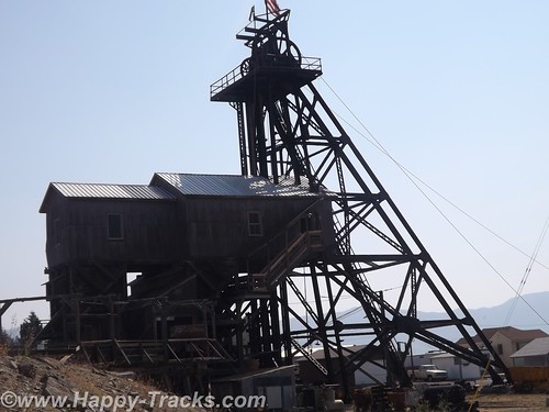
The World Museum of Mining was established in 1963 and one of the few in the world built on the top of an actual mineyard, the Orphan Girl Mine. The Orphan Girl operated from 1875 to 1956, an exceptionally long time for any mine to operate and speaks to the richness of the ore there. Over the course of its life, the Orphan Girl was a copper/zinc/gold/silver mine and very profitable for Anaconda Copper Mining Company and providing employment for its workers and supporting the Butte economy.
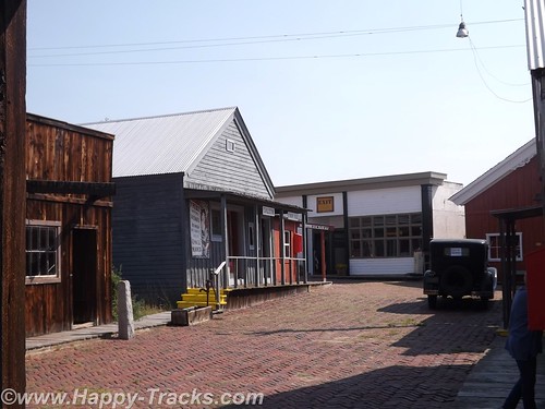
The World Museum of Mining is open daily from April to October and gives underground tours of the mine, also something of a rarity. The Hell Roarin’ Gulch town located on the property is composed of actual buildings from the boomtown days and authentic memorabilia. The town can be toured on your own or with a guide.
DSCF8754
The website, HauntedHouses.com, lists the World Museum and Hell Roarin’ Gulch as sites of sightings of visitors from the past who haven’t crossed over. (We did see some international tourists but none that we determined to be paranormal.) It is believed that some buildings moved from other sites or displays from other locations may have attachments that came with the physical building or object.
The Museum exhibits include geology and mineral exhibits in addition to furnishings of the day.
DSCF8816
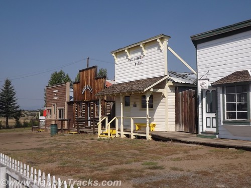
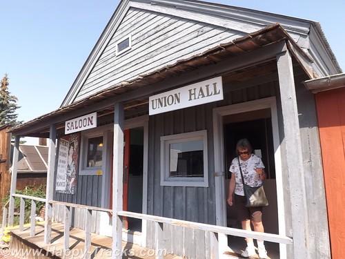
Hell Roarin’ Gulch buildings continue to be restored with the Orphan Girl head frame being restored in 2006. There are currently 15 buildings and include a couple of churches, a school, post office, various stores and professional offices.
DSCF8786
DSCF8798
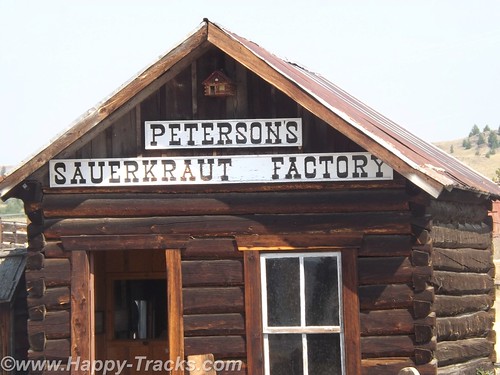
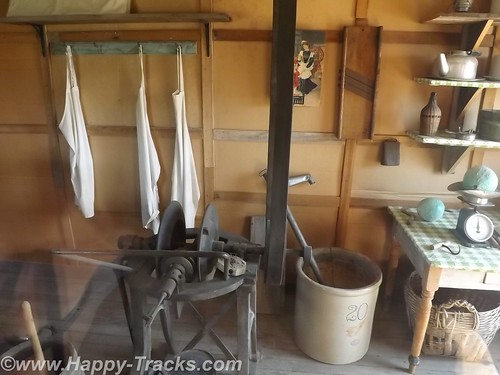
One of the buildings is Peterson’s Sauerkraut Factory. The operation used steam operated equipment to cut and core the cabbage and then it was moved by hand into barrels for aging. Peterson with his brother and their wives operated the factory for 50 years beginning in 1883 and produced over 350 barrels of sauerkraut per year at 400 pounds per barrel which he delivered throughout the area.
DSCF8814
DSCF8812
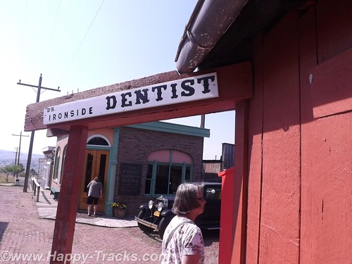
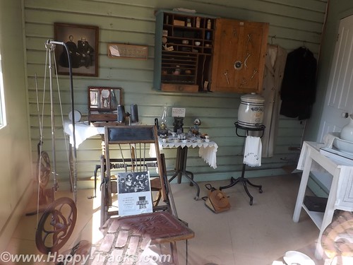
Doc Ironsides, the dentist, was a traveler and would set up in different towns or at different mines. Some of his equipment was on display in the office. The foot operated drill seems barbaric, to say the least.
DSCF8770
DSCF8776
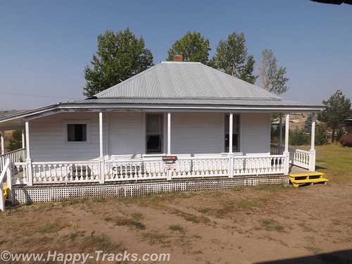
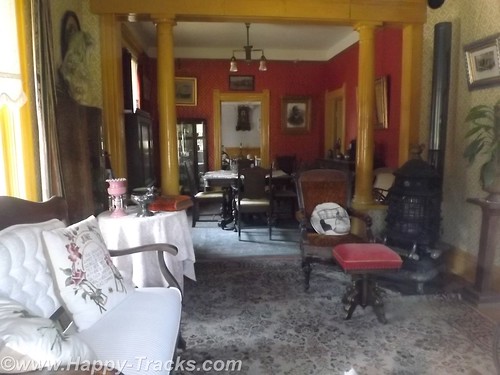
The largest and fanciest building was the mine superintendent’s home.
DSCF8836
We left the World Museum of Mining through the campus and returned to the downtown area to the Copper King Mansion built for and by William Andrews Clark beginning in 1884. Construction was completed in 1888.
DSCF8968
Mr. Clark was born in Connellsville, Pennsylvania in 1839. He worked his father’s farm until he was 14 and then went away to school, attending law school in Iowa. He taught school in Missouri in 1859 and 1860. In 1861, he joined the Army of the Confederacy but deserted in 1862 to pursue mining. With a couple of successful claims, he decided he would do better providing support to the miners and took advantage of the laws of supply and demand to increase his fortunes. He bought a team of horses and a wagon and sold supplies to the miners and later began making loans based on the potential value of mining claims. At one time, his income was reported at $17 Million per month!
DSCF8912
Clark was rich enough that he built (and financed) his own railroad. His business interests stretched east to New Jersey. He pursued his interest in politics, and served as President of Montana’s two constitutional conventions. He served in the US Senate from 1901 to 1907.
Perhaps his greatest legacy to Butte was that he built the beloved Columbia Gardens, a 68-acre playground and amusement park for the young at heart of Butte and the region. Thursdays were set aside to transport children for free to the Columbia Gardens on his electric trolley system. Other charitable efforts of Clark include a Girl Scout camp in New York state named for his daughter Andree. He also funded the Paul Clark Home, an orphanage in Butte that provided sanctuary for the sick and the indigent, and the YWCA home in Los Angeles for homeless girls and their mothers.
After his death, Columbia Gardens operated until 1973 did not pass to the people of the town as some said Clark had indicated it would. The Anaconda Mining Company wanted to rid itself of the maintenance burden (as the park was deteriorating) and to mine the land. While the matter of ownership and intent was tied up in bureaucracy and lawyers, fire struck and the Columbia Gardens was destroyed.
It should also be noted that Mr. Clark was instrumental in the founding of Las Vegas, selling off 2000 acres as lots and making a significant fortune in the process. He is the Clark for whom Clark County Nevada is named. Following his stint as US Senator, Mr. Clark moved to New York City until his death in 1925.
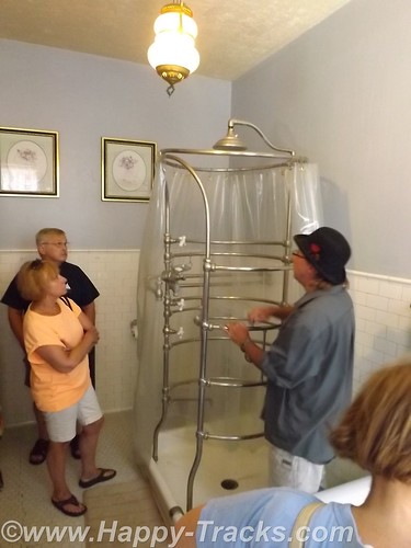
One unique feature of the mansion is a custom made shower that sprays water from around a complete circle and the top. The guide told us that it had some issues with keeping an even temperature from all the spray heads but that it worked as designed.
DSCF8913
On the top floor is a ballroom for entertaining, complete with a pipe organ. Unfortunately, Mr. Clark’s design was ahead of its time. Playing the organ generated such a loud sound that it literally knocked over furniture in the room and was only played once!

After Clark and his second wife passed on, the mansion was inherited by Clark’s son. The mansion was sold to an outside person, who sold all the existing furniture that was in the mansion. After becoming this owner’s private residence, the mansion was eventually sold to the Catholic Church and it became a home for the town’s Catholic nuns, who turned part of the top floor into a chapel, in the rooms off the ballroom area. The nuns didn’t appreciate the fresco which was painted on the ceiling of the master bedroom, so they painted over it. The mansion was put back on the market when the nuns moved out some years later, and stood vacant for 3 years.
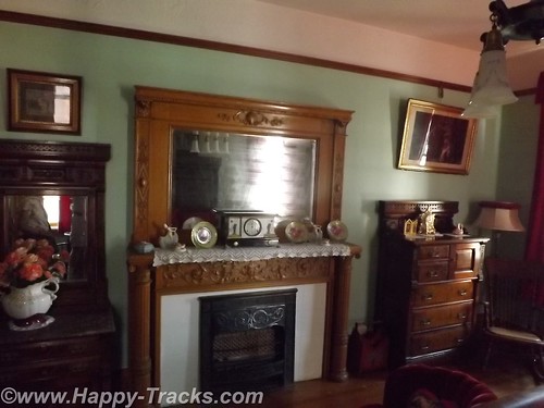
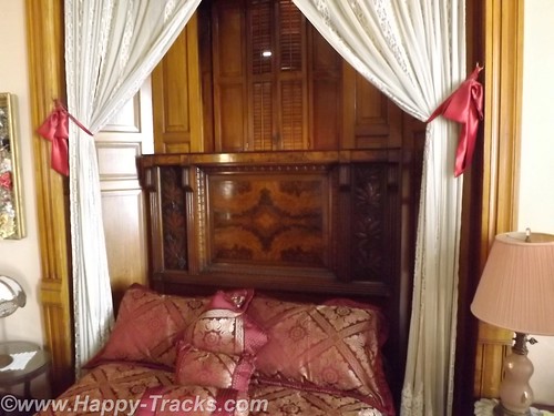
The new owners started at once to clean out the cob-webs and dust, and began to renovate the mansion to its former glory. While the owners were able to buy back some of the original antiques owned by the Clark family, many other antiques similar to the ones which existed in that era were purchased.
DSCF8925
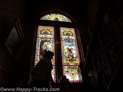
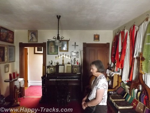
In an effort to preserve the history of Butte as well as restore the mansion, the new owner collected pieces from church buildings being destroyed and developed a collection of stained glass as well as church vestments and furniture which occupies another room on the top floor.
DSCF8935
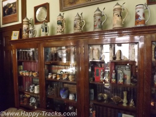
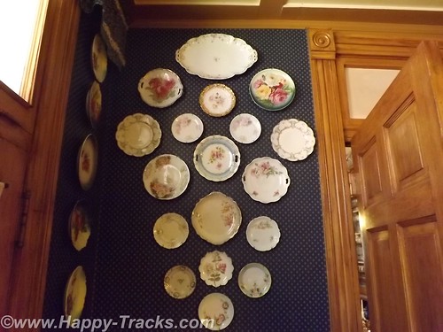
Also the owner loved to have collections, which today are still here on display, including dolls, hats, toys, clocks, demitasse cups and steins.
DSCF8941
DSCF8951
To raise some money, this owner opened up a restaurant in the main dining room which she ran for many years. The mansion has stayed in the family since then.
DSCF8966
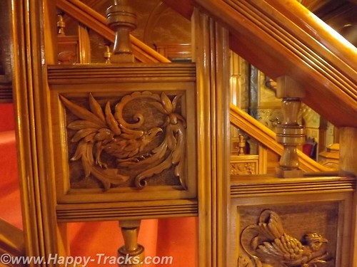
The staircase includes these wooden carvings representing each of the states (at the time) in flora and fauna.
The Copper King Mansion operates today as a B&B and also gives tours to visitors. Much of the tour is devoted to the restoration of the mansion.
DSCF8979
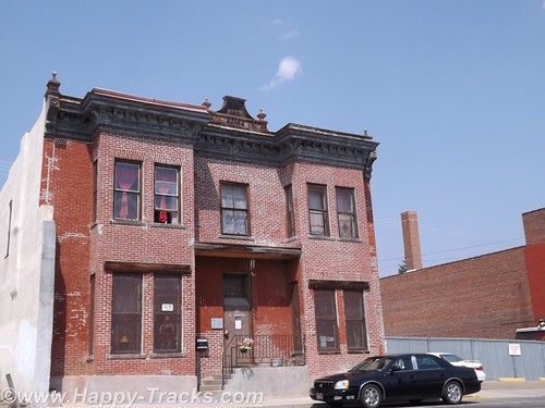
After the Copper King Mansion, our next stop was the Historic Dumas Brothel. It operated as a brothel from 1890 to 1982 for the purpose of catering to the predominantly male population associated with the mining industry. At one time, it had hidden alleyways and tunnels to permit rapid egress in the event of a police raid.
The brothel boasts 42 rooms ranging from barebones to opulent. Its current ownership saved it from tax sale in 2012 and is attempting to save and restore it. They finance this effort in part by giving tours and operating a store. We dropped by with the intent of seeing the tour but were turned away as the tour guide hadn’t come in that day and the backup was out the door on the way to his other job. We just got a glimpse of the outside and the front rooms and had to leave. It strikes me that the only car parked in the area other than ours was a black Cadillac. There’s a bit more info and some photos at http://www.thedumasbrothel.com
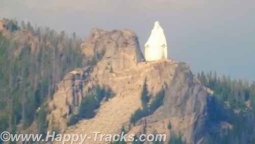
In a dramatic shift of focus, we also saw the statue “Our Lady of the Rockies”, a 90 foot statue erected in honor of mothers everywhere. The statue sets atop the Continental Divide at an elevation of 8500 feet, which is 3500 feet above Butte.
DSCF8738
The statue’s genesis was in a promise made by Bob O’Bill who promised to erect a statue of the Virgin Mary if his wife recovered from cancer. His wife did recover and the project grew with input from others. The statue is lit by night and a bus tour goes from the town to the statue twice per day during the summer. There is also talk of a tram to ride to the top but expansion plans for access have been challenged by property owners in the area with concerns about the potential traffic.
We didn’t ride up close but we did get a chance to see the statue from below.
There are many more pictures from the World Museum of Mining and the Copper King Mansion here.
We invite you to continue along with us and hope you enjoy the account!
Don’t forget the trip calendar we put together at CafePress. We think it turned out pretty well and would make a great holiday gift. calendar

Summer 2014: Alaska via the AlCan, Glacier National Park

Glacier National Park is located primarily in Montana and is the country’s 10th NP being signed into law in 1910 by Pres. Taft. In 1932, the US and Canada governments formed the first International Peace Park by coordinating on the management of Waterton Park and Glacier National Park to form Waterton-Glacier International Peace Park, sharing management strategies on protecting the waters, plants and animals.
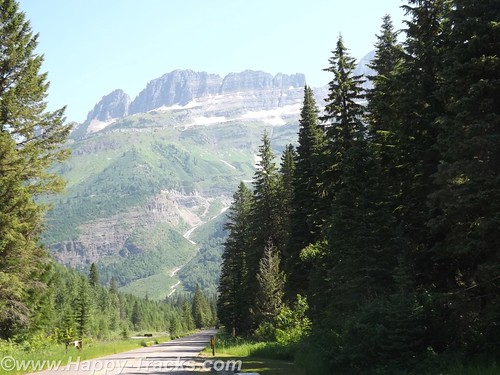
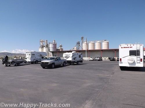
Our route allowed for the more scenic route rather than the most direct which took us to Three Forks where we stopped at the Wheat Montana store.DSCF6644
Wheat Montana is a combination grain elevator, bakery and restaurant with a gas station and convenience store. I suppose having the grain right on site conveys an image of freshness. The bakery certainly smelled tasty! We continued on through Helena and then up to the southeast of the park, then along the scenic Route 2 and eventually over to Kalispell.
DSCF6648
We stopped for lunch in Helena. When we came out of the restaurant, the gentleman who had sat across the aisle from us inside started up a conversation. He told us he was traveling to visit relatives and was telling us he was from a small town in Canada near Edmonton and told us about a bridge that we should make a point to see. DSCF6654
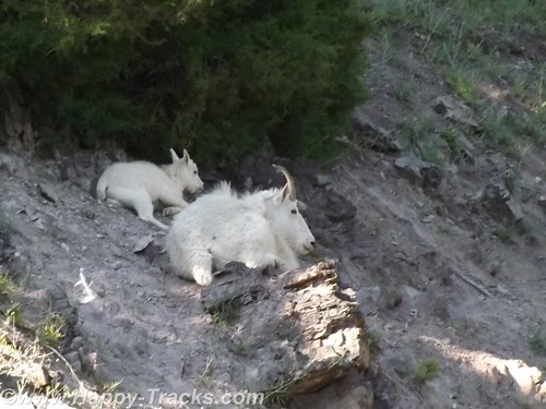
We had set the GPS to take us to Glacier National Park. It led us to Browning on the Reservation where we stopped to figure a more precise destination. While we were checking the paper maps, a man drove up and parked next to us to use the air hose. He had a young girl in the truck with him. It was very hot and the youngster was making her case for getting an ice cream or cold drink inside the store but she was unsuccessful. The man started a conversation with us and recommended that we plan our stop to include a place called Goat Lick Creek where the goats come on a regular frequency. He said that you could often see 40 or more goats with their kids there. We found his spot and a few goats but not in the numbers he had suggested. The goats and other animals frequent this spot to lick the clay and get the minerals. We appreciated his recommendation as it was a place we would have flown right on past with no notice. DSCF6663
DSCF6664
Saturday night summer with no reservations made it a bit difficult to find lodging. We looked first in Whitefish just outside the park’s entrance and eventually ended up in Kalispell about 15 miles away. We searched and eventually found overnight lodging at the Blue and White Motel (I wonder what the story behind that name might be?) where we were told they had two rooms available, one in the “old” building and one in the court. The “new” building probably dated back to the 1960s while the furnishings dated back to the early 1980s. We checked out both rooms and decided to take the one in the court. The carpet was old (as were the stains on it) but it seemed to be a bit better than the other choice. Supply and demand works, I guess. While the motel and the rooms would be prime candidates for refreshing, the place was filled to capacity. The desk clerk was a very pleasant woman with hair a shade of red that nature never used and a pleasant manner that showed she had been around since innkeepers tried to make their guests feel welcome instead of just being processed efficiently. The other guests were a mix of families with children, motorcyclists checking boxes on a bucket list and some longer-term residents who were probably working or going to school. As has become customary, they also had a breakfast bar of sorts that included toast and some prepacked pastries and coffee. Little bit different. DSCF6667
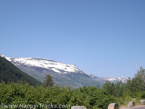
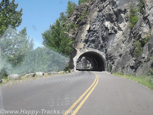
Glacier National Park is believed to have contained approximately 150 different glaciers in the mid-19th century and currently has 25 active glaciers. Current estimates say the last of the glaciers may be gone in the next decade.
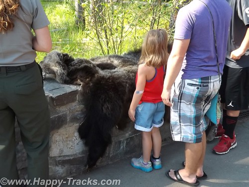
We left Kalispell and went to the park. Our first stop was at the Apgar Visitors Center for an orientation. It was a busy place with tour groups forming up and leaving, groups coming in, one of the rangers preparing to give an informational talk involving a bear skin that she had put on display. DSCF6673
We got a map and oriented ourselves in preparation for the Going to the Sun Road journey through the park. As elsewhere, our orientation included reminders to beware of the animals and the traffic and to not block the roads.
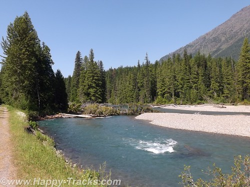
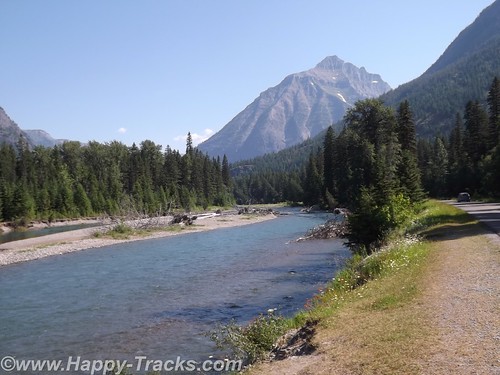
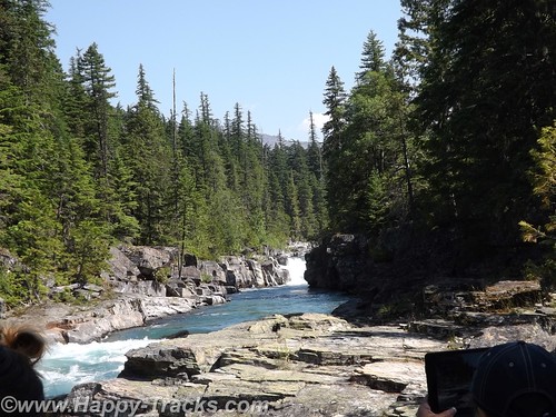
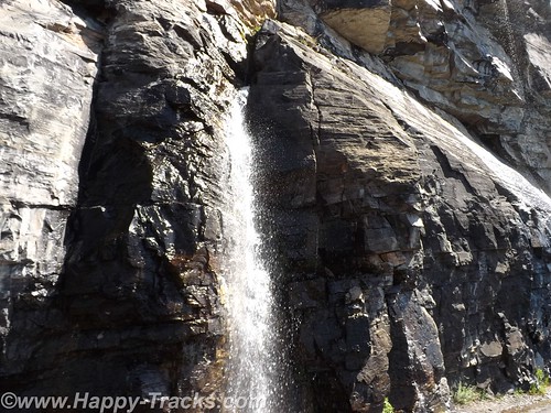
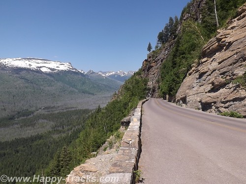
Going to the Sun Road passes Lake McDonald and along a glacial stream and up to the Going to the Sun Mountain and the glacier there. It is a scenic drive with views of the glacially-carved valleys and mountain sides and many streams cascading down to keep Lake McDonald filled. DSCF6684
Although the park literature indicated many different animals to be seen in the park, our travels kept us primarily along the more trafficked roadway so we didn’t see many wild animals.
At our first stop just past the winter gate we were approached by another tourist (his accent was Asian perhaps?) seeking assistance. He was driving a rental car and had his paper map in hand but couldn’t locate himself on it. He really just wanted someone to orient him on his paper map. Where is the “You are here” dot? We got him oriented and on his way and had a chuckle at how its sometimes the simple things that make all the difference.
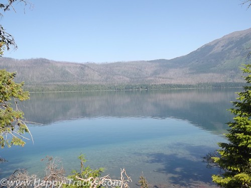
We stopped along the way for pictures of the lake and the glacial streamDSCF6692
DSCF6700
DSCF6703
DSCF6715
DSCF6719
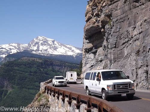
As the sides of the valley got steeper in our ascent, we passed through a couple of unusual tunnels in that the sides toward the valley had large openings to permit seeing the view.
DSCF6726
DSCF6727
DSCF6728
DSCF6730
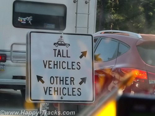
Going to the Sun Road does not allow vehicles longer than 21 feet or wider than 8 feet and does not allow towed vehicles due to the sharp curves/switchbacks and narrow roadways. In the picture above, the white dot in the very center of the picture is a van passing where we had just been.

DSCF6732
DSCF6753
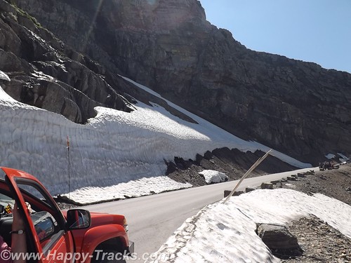
Our first encounter up close with snow and ice. The temperatures had us comfortable in our shorts and T-shirts.
DSCF6761
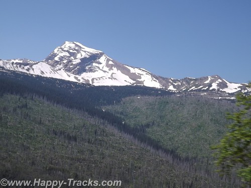
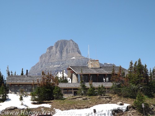
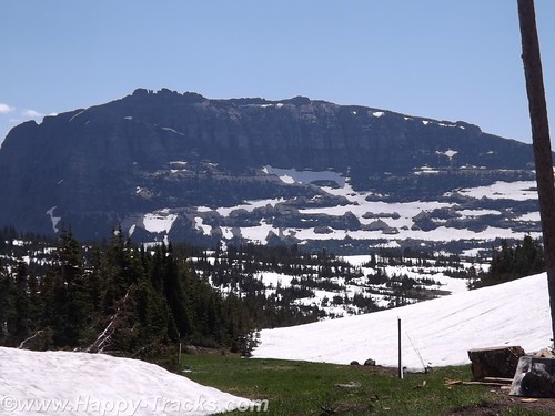
The road winds its way up to Logan Pass, the Continental Divide.
DSCF6771
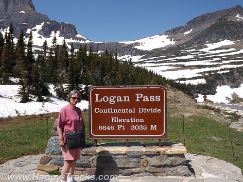
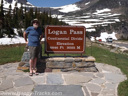
This trip was Betty’s first time crossing the Divide (in Yellowstone) although we would eventually cross at least 8 times before returning to Maryland. We posed for pictures by the sign and talked to two ladies there doing the same.
DSCF6774
DSCF6775
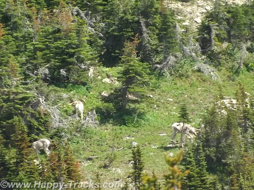
As we were walking away, the two ladies asked us to help identify the “white dots” on the hillside above us which turned out to be the only bighorn sheep we saw on the trip.
DSCF6776
There is a rest area at Logan Pass which was fairly busy this day. There is a gift shop, restrooms and exhibits there but no restaurant and we were looking for lunch. We did have some food in the truck in the refrigerator so we had cheese sticks and crackers for a light lunch.
DSCF6785
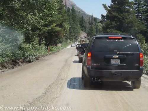
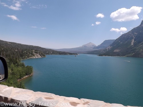
Shortly after leaving Logan Pass, we came upon some more road construction which narrowed us to one lane of dirt road and the accompanying delays which let us appreciate the scenery. The road passed beside Saint Mary Lake which is smaller than Lake McDonald.
DSCF6795
DSCF6799
We stopped at the St. Mary Visitor Center for a late lunch. Several of the menu items included huckleberries but we had more traditional fare.
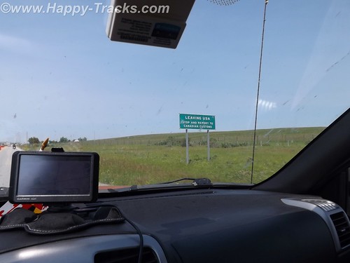
After our late lunch, we exited the park and turned north for the short ride into Canada.
DSCF6804
Our first border crossing was at Carway. Usual questions about where we going, what we were going to do and what we were bringing with us. We had bear spray (which apparently is sometimes viewed as a weapon but was of no concern to the Customs Agent) and more than the permitted 200 (one carton) of cigarettes each but this also was not viewed as an issue so we were waved on through.
DSCF6805
We found a room at a fairly new Comfort Inn in Lethbridge and went next door to a sports bar for munchies for dinner.
The next day, we would visit the TD Bank for Canadian cash continue on our way north.
You can see all of the pictures from this leg of the trip here.
We invite you to continue along with us and hope you enjoy the account!