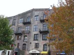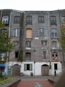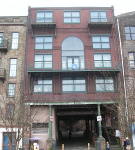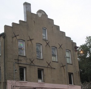
Desert Expedition III: Nevada – Post 3 – Helene Graveyard and Delamar NV

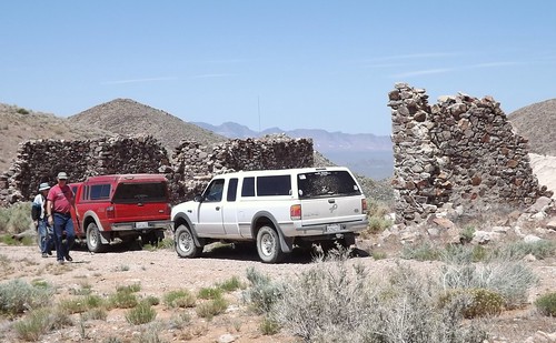
On Wednesday morning we headed in search of Delamar NV, a classic mining ghost town which saw its hey day in the 1890s. Gold was discovered there in 1889 and the original mines along with most of the major mines in the immediate area were purchased by Captain Joseph Raphael De Lamar for about $150,000. Some cursory research on the man shows he left his maritime interests and invested in mining claims. The one in Nevada paid off fairly well, producing over $13 million in gold.
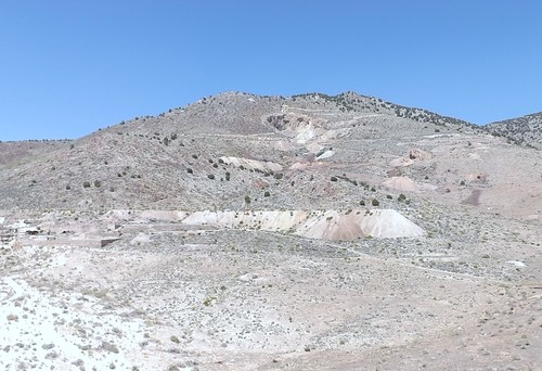
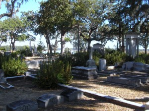
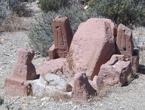
Delamar at one time boasted a population of 1500 and amenities such as a hospital, an opera house and a central water system pumping water from a well some 12 miles away. Unfortunately, the gold in these hills was embedded in quartzite which lead to deadly silicosis when ground to dust as in the ore extraction process. One source said the population of Delamar included 400 widows at one point in time. The moniker “widow-maker” was apparently well-deserved. Remaining at Helene is a tailings pile from one excavation and a much-vandalized graveyard. Helene is on the way and just over the crest from Delamar.

DSCF0916
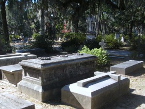
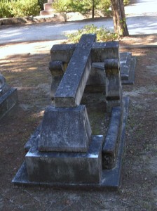
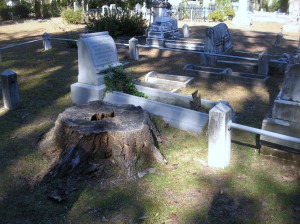
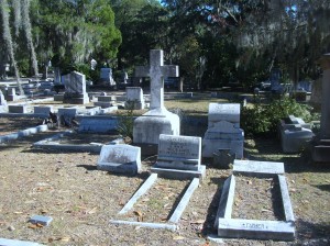
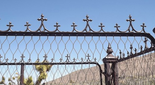
Gravestones are pretty much non-existent but the remaining decorative iron work is impressive in its detail and how well-preserved it remains.
DSCF0936
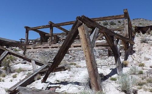
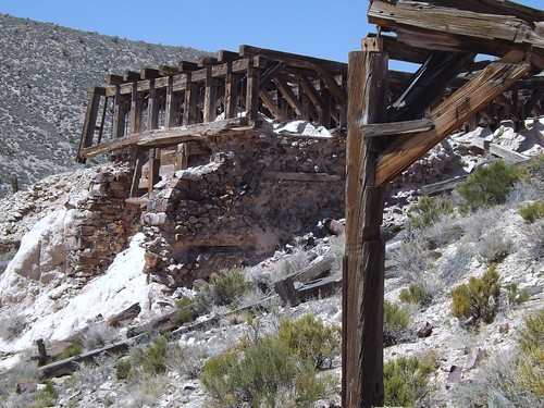
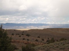
Moving on over the hill, we could see a lot more of the remains of the town and the mining and millng operations. It was obvious this had been a significant operation in its day.
DSCF0966
DSCF0980
DSCF0982
We decided we would spend the afternoon investigating further and stay in Delamar for the night.
DSCF0995
We found a clear level spot above the mill and along the roadway with enough room for all of us and we hoped some protection from the wind. It commanded a great view of the area.

During the night and early morning, I got quite ill. I’m not sure if it was the excitement, the altitude, something I ate or an allergy pill I’d decided to skip. Although my allergies are pretty mundane fare around home, I’ve discovered that I can be very allergic to rare flowering plants in Hawaiian volcanoes and possibly the Nevada desert. While I’ll spare the details, the morning found me worried about dehydration and seriously considering cancelling the remainder of the trip. As it turns out, I was somewhat weak the next day but after that one night, all seemed to be okay.
Frenchie, on the other hand, was not quite as lucky as he also got ill. He tied the symptoms to a medical issue he’d dealt with a month or so earlier and did leave the trip to visit medical pros to follow up. We heard from him later that he got home okay though. He was missed along the rest of the trip as he is quite an entertaining travel companion.

More photos from this leg of the trip.

If you’d like to be notified of new posts, use the Subscribe button in the upper left and provide your email. Your email will not be used for any other purpose!

Desert Expedition III: Nevada – Post 2 – Cedar City UT to Rainbow Canyon NV

On Tuesday morning, we were all to meet at Smith’s Market in Cedar City with some time planned to meet and greet and then get on the road.
Timing can be a relative thing but we did all eventually show up and get ready.
Along for the ride were: Scott B and his navigator, Laura in the recently repowered white Ranger; Sib (Sibastian who also is Scott’s father) in his white Ranger; Gary (gwittman) in his red Ranger; Michael (mjmcdowell) in his gray Ranger; Frenchie (Frechiexj) in his white Jeep JK; Martin (martinjmpr) in his maroon 4Runner; Ace (Ace Brown) in his silver FJCruiser with Kyla the golden retriever and Keith (4x4x4doors) in the orange Colorado.
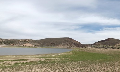
We left Cedar City on UT56 and went off pavement before we got into Nevada. We eventually got into Echo Canyon State Park and found a spot next to the reservoir for lunch.
DSCF0811
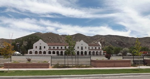
Our next waypoint was Caliente, the first ghost town of our journey. This is probably a good spot to define exactly what is a ghost town. Many of us think of a place that is totally abandoned and derelict but Merriam-Webster includes towns whose population has significantly declined from previous levels due to the collapse of an industry or resource such as when a mine is closed. Detroit, Michigan would fit the part of the definition that includes a significant decline in population without being completely and totally abandoned. Caliente, Nevada (and several of our other stops) fit that significant decline defintion. Caliente gained its name from the nearby hot springs. The Union-Pacific Railroad came to town in 1905 and the train station, built in 1923, is built in the style of Spanish missions. Today it houses a museum and the town’s municipal offices and a library.
DSCF0823
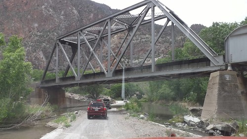
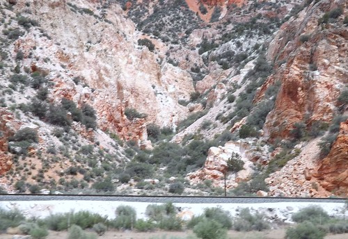
After passing through Calienete, we veered left into Rainbow Canyon and followed the stream and the railroad tracks for a ways.
DSCF0833
DSCF0838
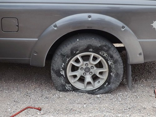
Climbing out of the canyon, CB radio traffic tells Michael that something doesn’t look right just as he discovers that he has a blowout.
DSCF0847
Replacing the tire turns into a group project with Scott providing his racing jack, Martin providing his four way lug wrench and various folks providing labor and advice. Ultimately, its clear the tire is toast and well-beyond repair and we’re back on our way.
We pass onto federally-owned and managed Bureau of Land Management (BLM) land. Different rules apply to passage and camping so ownership and management of the land is significant. We ride along a ridge road and see one other vehicle. Eventually we wind down into lower ground and start looking for a place to spend the night.
DSCF0876
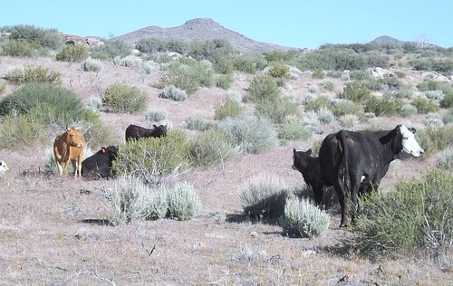
This is range land and we happen upon some cattle and a stock tank and nearby clearing that had been used for camping before based on several fire rings in the clearing.
We set up camp for the night. Just before dark, we noticed four horses approaching with great interest. While they checked us out a bit, they decided to go on. Apparently our sheltered location was also used by the to bed down for the night.
DSCF0869
As we pulled out in the morning, the cattle followed for a while. One calf showed a particular interest in Martin’s 4Runner and ran after him for possibly a mile! There’s probably an off color joke that fits but I’ll refrain.
DSCF0889

More photos from this leg of the trip.

If you’d like to be notified of new posts, use the Subscribe button in the upper left and provide your email. Your email will not be used for any other purpose!

Desert Expedition III: Nevada – Post 1 – Zooming Across Country

In June 2012, Scott B. over at Expedition Portal starting discussing a third Desert Expedition for early summer 2013. The early planning just talked about a trip to visit ghost towns in Nevada. Several jumped in with possible locations to include and some early commit-ers saying they were in as well as a couple of the “regulars” who had taken part in DE 1 and/or DE2.

In January 2013, my plans to retire in March were firming up so I committed to joining in. Good thing I did as Scott capped off the list shortly thereafter. I said goodbye to my employer and officemates in March and started getting ready.

The roadways indicate that this was a trip for the truck and I decided to take the Little Guy as the truck bed, at 5 feet, is too short for me to sleep in except in emergencies. As provisioning stops would be few and widespread, I had to add capacity for water and fuel. While I probably overdid, I carried about 20 gallons of water and 10 gallons of gasoline in containers. I also carried my Edgestar refrigerator/freezer (works on AC or DC); tools; recovery gear; clothing; and some food with plans to restock and finish loadout with perishables before we met up in Cedar City, Utah. Also included in my packing was my SPOT messenger which allows me to check in with a select group of family and friends with my progress even when cellphone service isn’t an option.

The trip by the numbers:

  • 5482 miles driveway to driveway.
  • 14 days (all good).
  • 2 blown tires (neither were mine but both went to the same guy).
  • Gas: 306 gallons. High price $4.199; low was $3.599.
  • Motel nights 4.
  • Bottles of water consumed by me 22.
  • Post cards sent home 8.
  • Animals: Fish (too many to count in a couple of springs and stock tanks); Reptiles – lizards only (no snakes); Mammals – horses (wild and domestic); donkey; jack rabbits; dog; cattle; pronghorn antelope; 1 dead field mouse.
  • Extra-terrestrials (none confirmed but I can come up with no other explanation for the knot on my head and walking into a tree in a broad daylight outside the Little Ale’ Inn).
  • Good fellow travelers 7 human, 1 canine. Jerks in our party – 0.
  • Pictures taken 1312. (Don’t worry I won’t try to share them all).

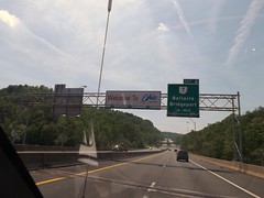
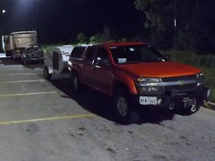
I left home Friday morning, May 17th. We were supposed to meet on Tuesday morning and I figured on a nice DSCF0554 leisurely trip out of about 4 days putting me in town on Monday sometime. I planned to get at least part, if not all, the way across Illinois the first day. I had a bit of adrenaline going as well as the uncertainty of how far I’d feel like driving on subsequent days so I got all the way across Illinois and decided to try to get out of range of St. Louis morning traffic. DSCF0565 Using the GPS, I started looking for a Comfort Inn around midnight and got directed to an empty lot. (So much for recently updating the GPS maps!) By that time, I was pretty beat and stopped for gas and a walkaround and then noticed a Walmart at that exit. (Walmart has a general policy — there are exceptions — of allowing RVs, even little ones, to spend the night in their parking lots.) I stopped in and picked up a pan I had not gotten at home and checked to make sure they allowed for overnights. So back out to the edge of the parking lot and a couple of hours of sleep in the Little Guy.

DSCF0566 I woke up before sunrise and got rolling again across Missouri. My route took me on the outskirts of Kansas City in the early morning. Topeka, Kansas was later in the day and looked like it might be more picturesque as it is the capital of the state. While I passed within sight of the capitol building, it was covered in scaffolding for a renovation project. So onward to the wide open plains. Totally different from any part of the country I had seen before and breathtaking. To tell the truth, it was breathtaking the first couple of hundred miles but got repetitive after that.

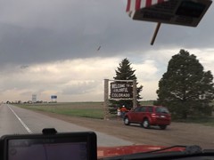
Scooting across Kansas, there was a couple pulling a Scamp or Casita trailer that seemed to be stopping at the same rest areas. One time, I would pull in as they pulled out and then later they would pull in as I pulled out. We did eventually talk when we reached the Colorado welcome stop. They winter in Florida and were on their way to sons near Ft. Collins for the summer. We spent some time comparing notes on trailers and came to the conclusion that theirs is more livable but in a world of $4.00/gallon gasoline, mine was preferable for towing.

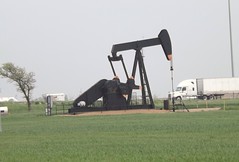
While in Kansas, I saw the occasional pump jack in addition DSCF0580 to wind farms. I guess that Kansas is covering their bets on two different sides of the energy issue. Also in Kansas, I heard reports DSCF0586 of nasty weather which always seemed to be about 40 miles behind me. In a couple of days, the devastating tornado in Moore, OK would hit. I pulled out of the Colorado Welcome Station as the rains hit. I drove out of the rain and back into the sunshine pretty soon but was seeing clouds on the peaks around Denver. Seemed like a good time for gas, so I pulled into a rundown looking truckstop. The gas pumps wouldn’t accept my credit card and I assumed it was related to the seedy look of the station and paid cash. Several declined purchases later, I called the credit card company. You know that ad where the couple is thrilled that the Bank has stopped their card from being fraudulently used in a foreign country? Its not all smiles when you’re trying to use your card and find that your bank (or credit union) decides that buying gas on a cross country trip is “suspicious activity”. Just 20 minutes on hold and we can get this all taken care of. Sheesh! DSCF0623.
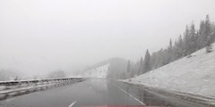
Buying gas proved to be a good idea as the trek up the mountains and through the pass was sucking down some fuel. As I neared Vail, we added precipitation into the mix and it was sticking.
DSCF0642
It was close to dark, I didn’t know what the roads or the weather had in store for me and my efforts to find a motel that night before hadn’t turned out well so I holed up in the Comfort Inn in Eagle CO for the night. A hot shower and comfy bed sure felt good. It had been a long day (or two). I figured I had about 450 miles to go before Monday night so I was in good shape.

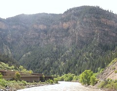
Sunday morning found me paralleling and in sight of the Colorado River for a while. The engineering of stacking an Interstate Highway on top of the river and squeezing the railroad tracks in there as well impressed me. And don’t forget to squeeze in a parking lot and river access, too!
DSCF0662
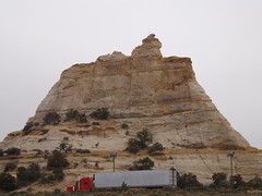
As I moved into Utah, things didn’t really level out but the slopes seemed to be gentle and the views longer. The weather was still mixed but mostly good driving weather.
DSCF0676

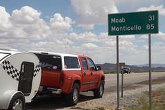
And what does every 4×4 driver think of when they think of Utah? Moab, of course. So here I am, easily a day ahead of schedule within 30 miles of 4×4 Mecca. So what do I do?
DSCF0704
I take the safe way out. No one knows quite where I am, I don’t really know my way around and I have this great trip in front of me. So, Moab is close but oh, so far away. Something else to stay on the “to do” list for now.
DSCF0722
The views are breathtaking but the locals have seen them before. I got an earful at this rest area after driving through a construction zone at the speed limit (65) for holding up these nice folks…but in spite of me, they still had time to stop and catch the view at the rest area?
I pulled into Cedar City on Sunday afternoon a full day ahead of my schedule. Luckily my motel had a room available but not the room I had reserved for Monday night. It was fine by me. I sorted the stuff in the truck, did some shopping/provisioning and filled my gas and water jugs. I even got my walk in while doing some sightseeing.
Cedar City has an extensive Veterans Memorial Park which I enjoyed. I was surprised to find water running in the rain gutters along the road. I figured it to be waterline maintenance or such but later figured it was the runoff from lawnsprinklers which seemed to be running everywhere with no particular concern for missing the grass.
Cedar City also has an “historic” downtown Main Street which includes a drugstore complete with old-fashioned soda fountain in the old Sheep Association building. Take note of the bronze statues of historic figures on the sidewalks. Similar idea to the OBX Pegasus statues and DC’s donkeys and elephants but classier.

More photos from this leg of the trip.

If you’d like to be notified of new posts, use the Subscribe button in the upper left and provide your email. Your email will not be used for any other purpose!

January 27: Old Friends Touring DC: Navy Memorial and National Portrait Gallery

A rare treat for the Old Friends weekend, we were able to tour on Sunday as well. Today included breakfast, church and then a trip to downtown DC to visit the Navy Memorial (site of the Lone Sailor) and the National Portrait Gallery.

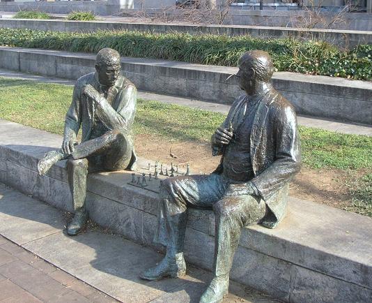
Our first stop after finding parking (which was free on the street where we were since it was Sunday), was a walking trip through Judiciary Square where we found these two gents deeply absorbed in an impromptu chess game. They didn’t include a timer. Russ pointed out that the board was also set wrong, not something to be noticed by the casual observer.
DSCN7906
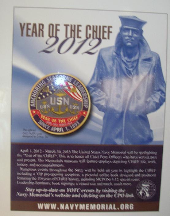
Our primary stop was just around the corner on Pennsylvania Avenue at the Navy Memorial. Best known for the statue of the Lone Sailor out front, there are exhibits and a theater inside. 2012 was celebrated as the Year of the Chief.
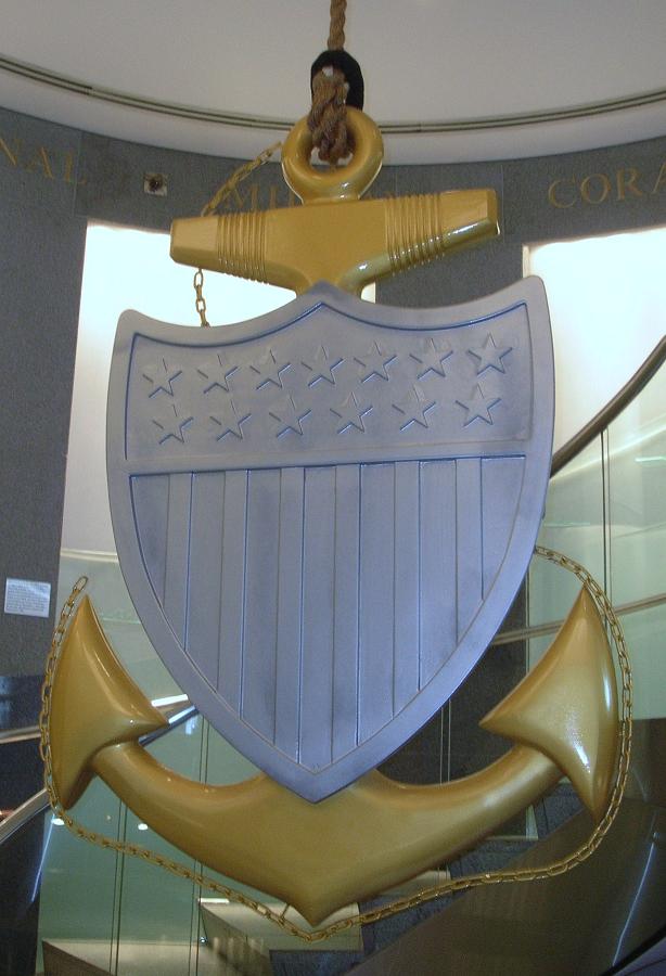
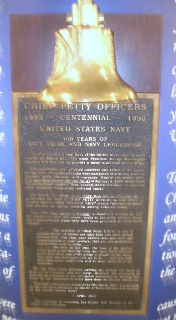
DSCN7908This centerpiece hangs in the center of the spiral staircase leading down to the main exhibit floor. This one is beautifully made of wood with the woodgrain showing as the gold color with painted silver for the shield. This is a replica of the traditional Chief Petty Officer’s collar device, the fouled anchor.
DSCN7909

DSCN7910

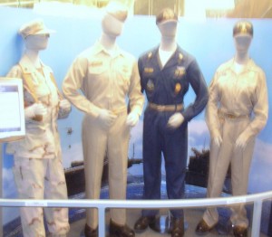
Chief Petty Officer uniforms

I’ll take a moment to apologize here for the quality of some of the pictures that follow. The lighting showed a glare on several of the displays. Normally, I’d reject those pictures but I believe the Navy Memorial needs to be shared a bit more and I’ll compromise the picture quality to give you a better idea what’s there.

DSCN7911

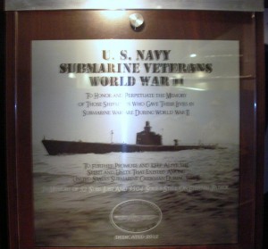
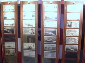
Memorial plaque for submarine sailors of WWII

DSCN7912

Multiple memorial plaques provided in exchange for donations. There were a number of displays similar to this one.

DSCN7916

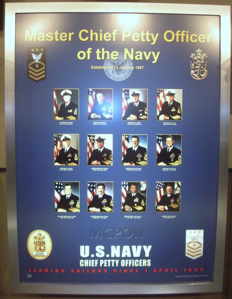
The Senior Enlisted Sailor in the Navy is the Master Chief Petty Officer of the Navy (MCPON). This display pays tribute to those who have served in this capacity. Of the 13 men who have served as MCPON, three were submarine-qualified (James Herdt 1998-2002; Terry Scott 2002-2006; and Rick West 2008-2012)

DSCN7915

DSCN7917
DSCN7918
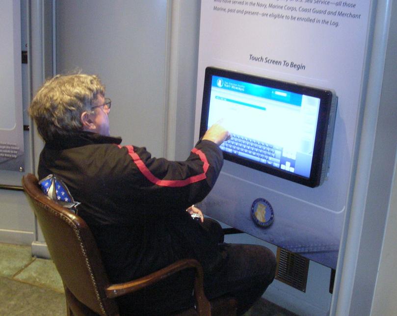
DSCN7919The Navy Memorial maintains a log that allows sailors or their families to enter pertinent data about the sailor as part of the memorial. Their goal is to include all Navy Sea Service Vets. Father Steve was looking things over but decided to complete the entry back at Chateau Pierre.

DSCN7920

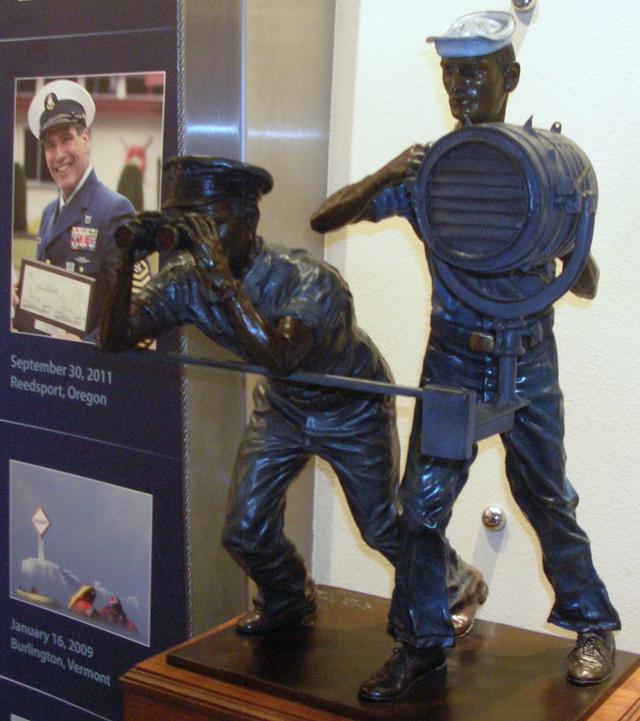
Signalmen and spotters served in good weather and bad.

DSCN7922

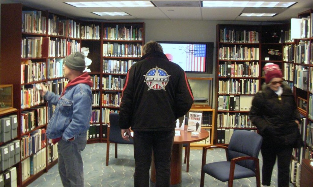
The Memorial includes a library of books (fiction and non-fiction) about the Navy and its sailors and also by some of the sailors.

DSCN7924

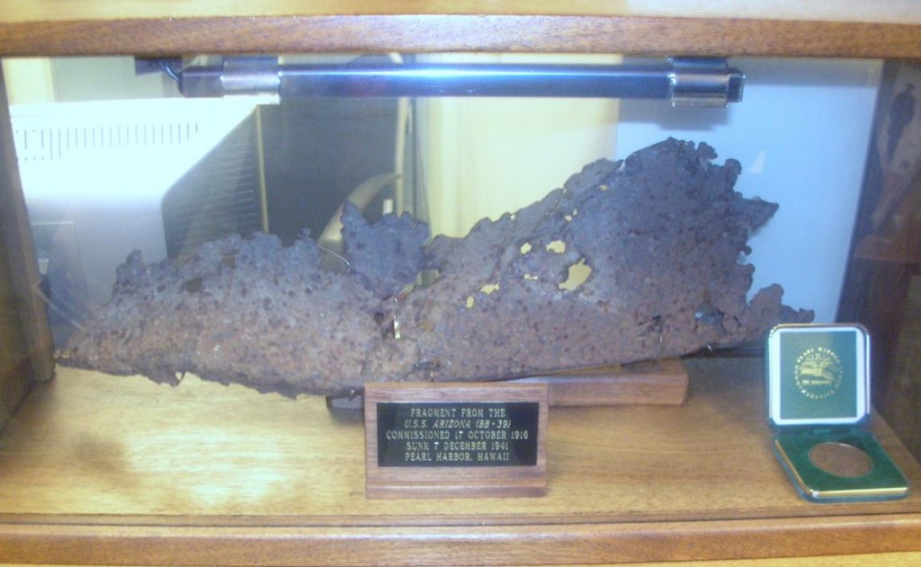
A piece of the USS Arizona, bombed and sunk in the attack on Pearl Harbor.

DSCN7928

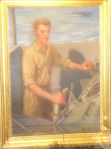
The display included portraits of Presidents who had served in the Navy. This one is John Kennedy. Also included were Lyndon Johnson, Richard Nixon, Gerald Ford, Jimmy Carter and George H.W. Bush.

DSCN7921P1060139

DSCN7923

DSCN7934

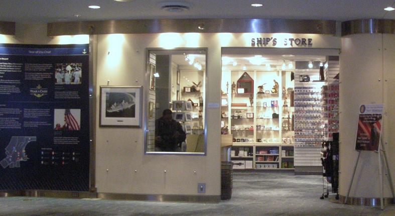
The Ship’s Store

DSCN7929

The Navy Memorial maintains a log of sea service veterans. This poster reminds us that sea service veterans are all around us and asks to help. Visit their website at www.NavyMemorial.org

P1060135

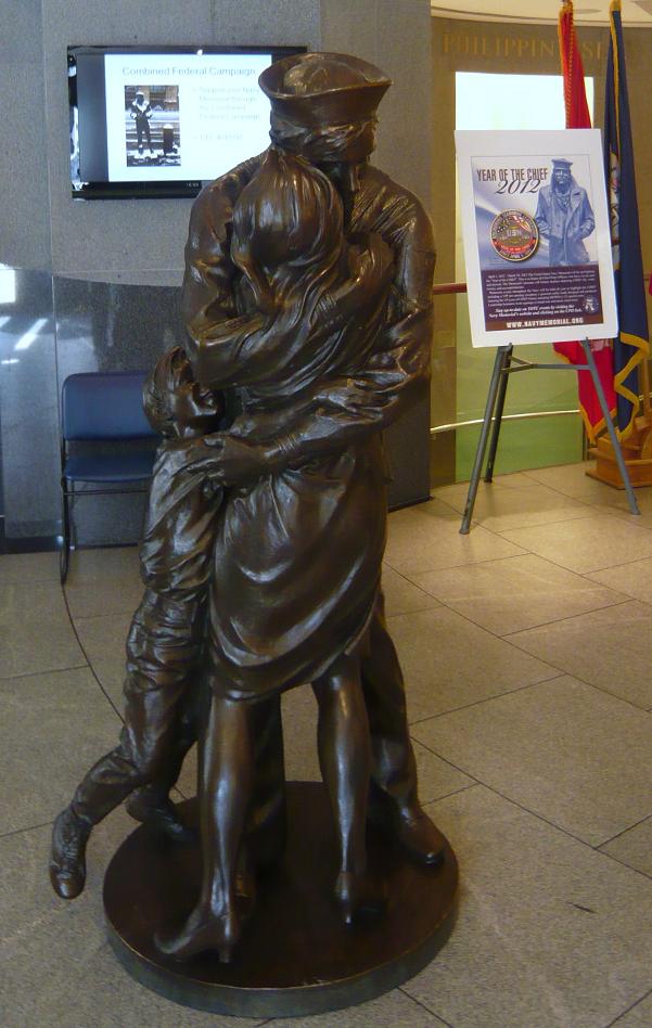
Statue depicts “The Kiss”, subject of a famous Life magazine cover at the end of WWII.

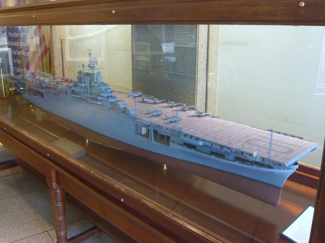
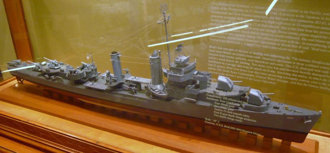
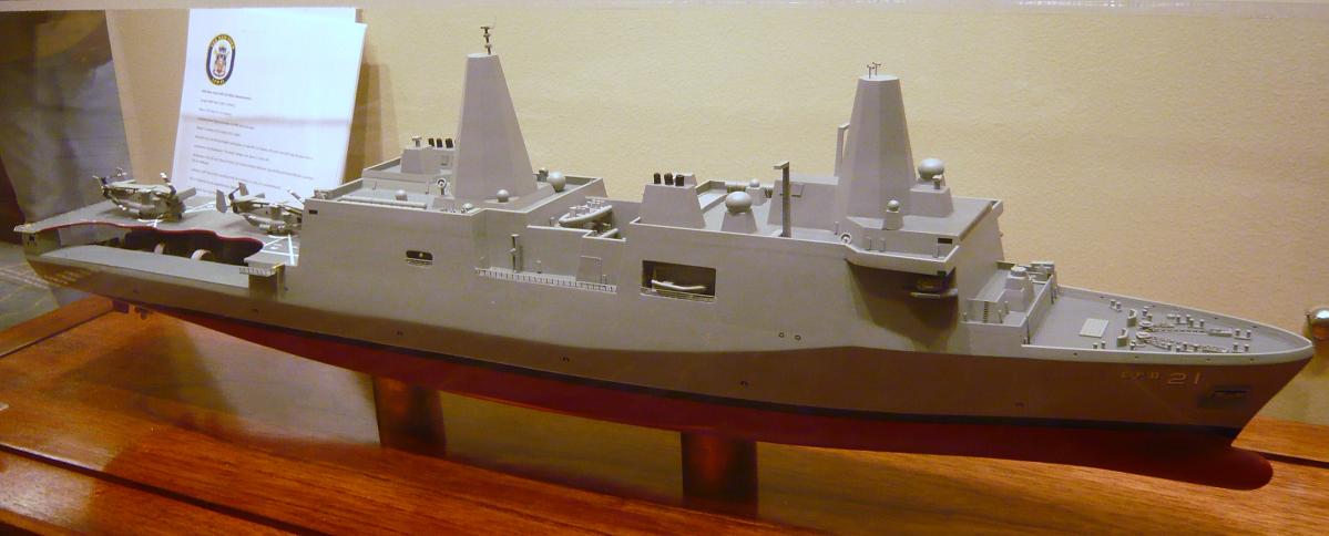
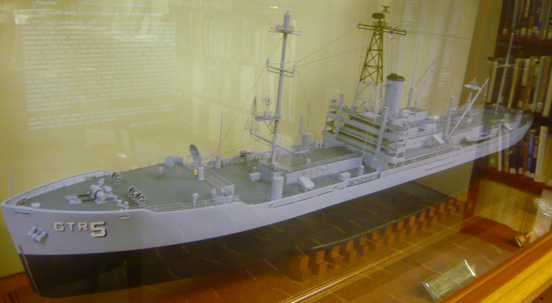
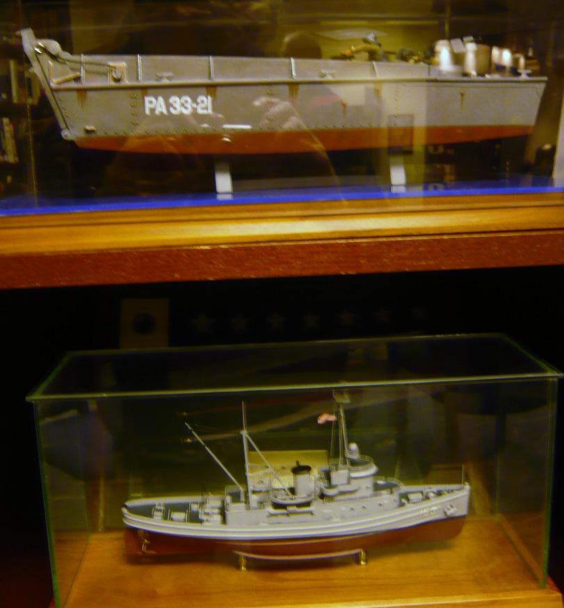
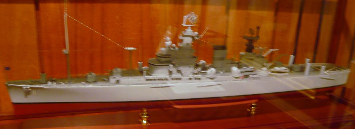
P1060136There are a number of scale models of Navy ships on display.
P1060134P1060137

P1060138
P1060141
P1060142
P1060147
P1060140

P1060133

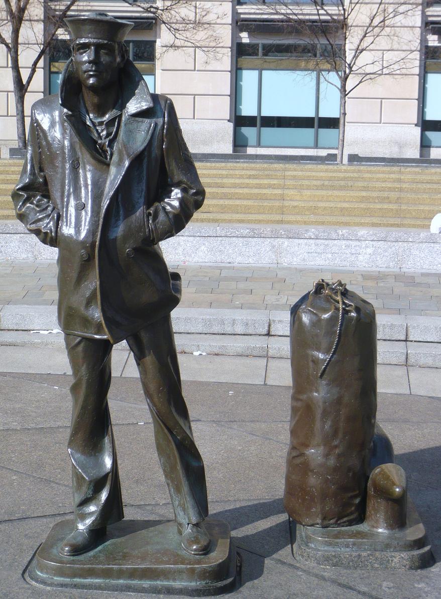
The Lone Sailor

P1060150

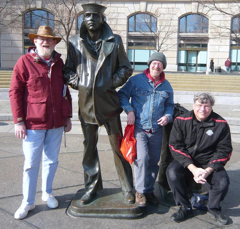
The Lone Sailor with friends

P1060151

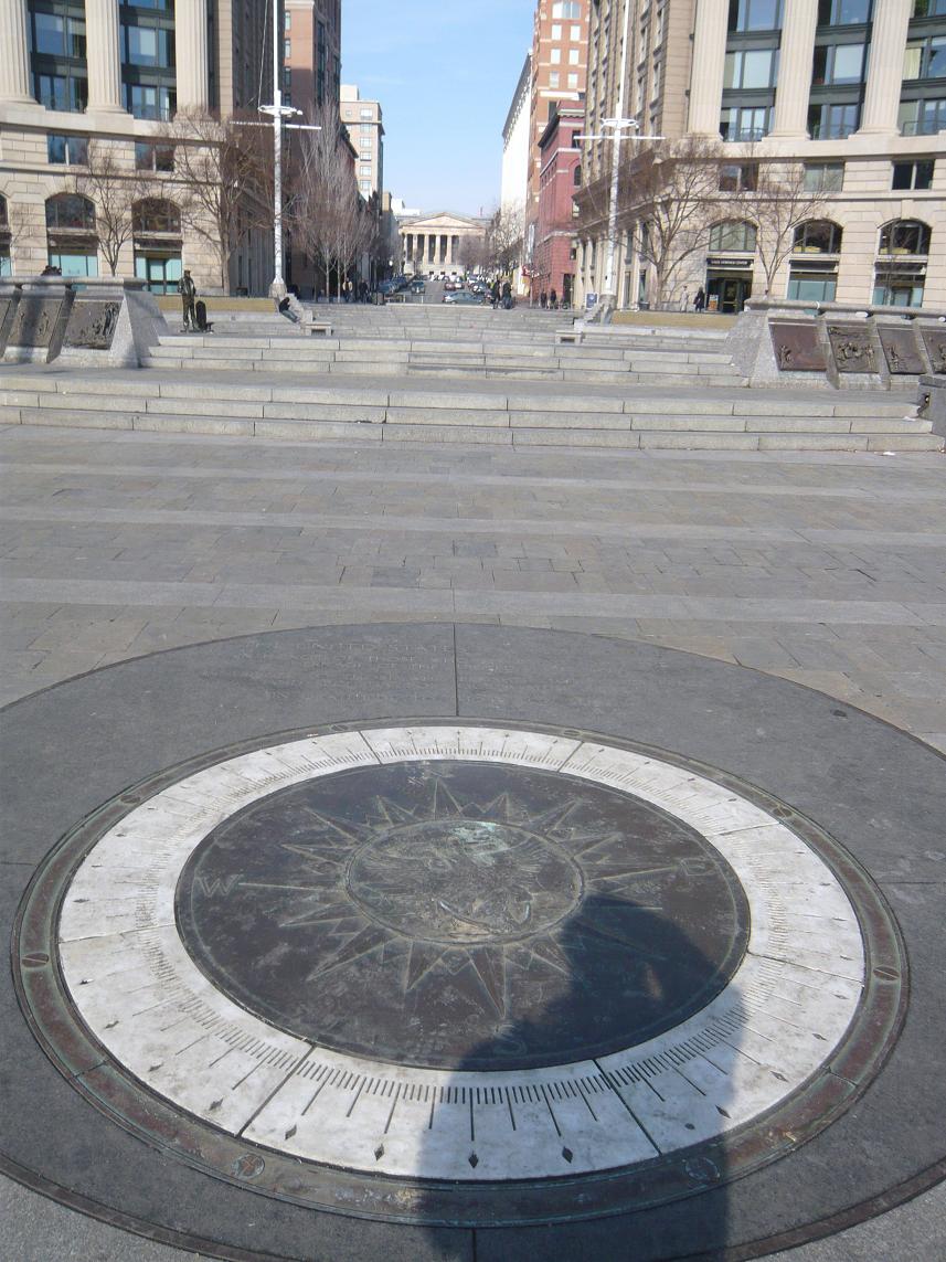
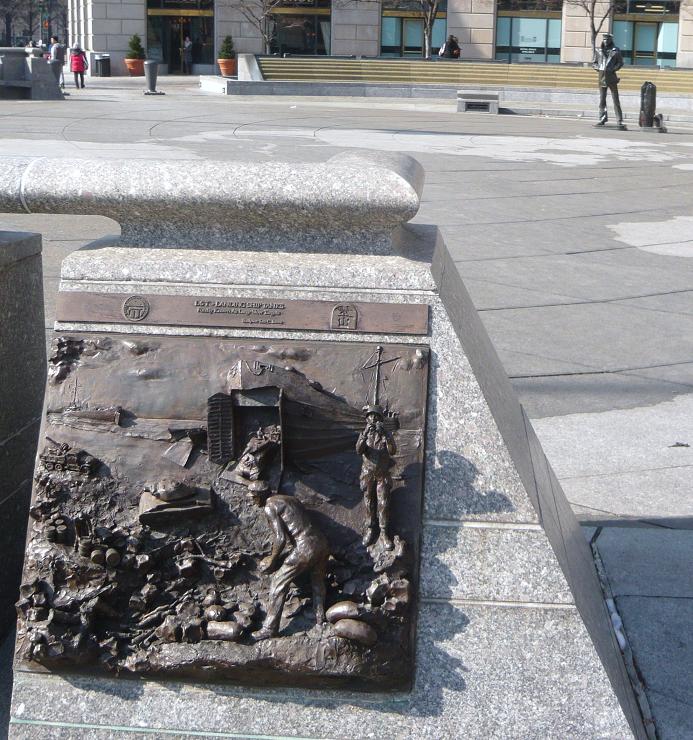
The compass in the Memorial Plaza.

P1060148
After visiting the Navy Memorial we headed over to visit the National Portrait Gallery. The National Portrait Gallery is part of the Smithsonian Institution and is dedicated to the display of portraits of persons who have made significant contributions to American history and culture. There is an extensive display of Presidential portraiture including a wire sculpture of President George H.W. Bush pitching horseshoes. The American Art Museum (which shares the building) included exhibits displaying the national parks and other persons in our history. There was an exhibit depicting Amelia Earhart and artifacts from the US Patent Office.

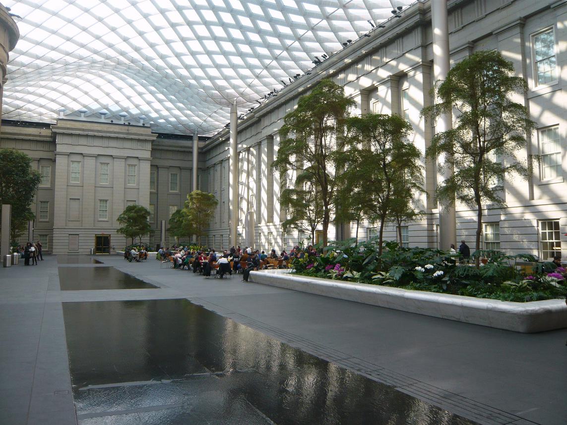
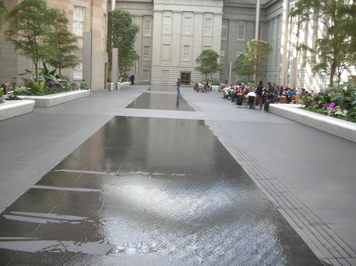
We highly recommend that you take the time to visit. While you’re there, allow time to take in the atrium in the center courtyard shown in the pictures below.

P1060152

The water in this picture is no more than a quarter to half inch deep. Although it appears to be much deeper.

We chose to grab lunch in the atrium. There were a number of folks who seemed to be just enjoying the opportunity to relax and read or study in the pleasant temperatures and the sunshine coming through the glass roof. It sure beat the cold outside.

DSCN7937After we left the Portrait Gallery, it was time for Russ to hit the road south while Father Steve, Betty and Keith headed back to Germantown.

Father Steve left on Monday via BWI where he experienced his unusual luck at finding delayed flights but arrived safely back at home, albeit a bit later than planned.

It was another great weekend with great friends, exploring the sights right here in our own backyard.

January 26: Old Friends Touring Locally: Fort Washington — Who Knew?

P1060055 P1060048 DSCN7845 DSCN7843 DSCN7839 DSCN7832 DSCN2944During our last visit with Russ and Father Steve, we had spied something on the eastern side of the Potomac while coming home from Mt. Vernon. A little web research identified Ft. Washington as our target.

As it turns out, Ft. Washington is still a fort. After all these years of being so close, who knew? Today’s adventure would take us there to see close up. Fort Washington is under the care and ownership of the National Park Service.

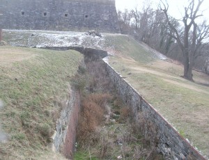
Originally the location was home to the Digges estate. The Digges family were friends of George and Martha Washington. In fact, George celebrated his 43rd birthday here. It has been called Warburton Manor. The first military installation was called Ft. Warburton. The site is across the river and slightly upriver from Mt. Vernon. President George Washington suggested it be built. With perpendicular earthen walls, it stood 14 feet above the bottom of a ditch which surrounded the river side of the fort. It included a tower with six cannon overlooking the river. But Ft. Warburton lasted only 5 years.

In August 1814, British forces entered Washington through Bladensburg MD and burned the White House, Capitol and most other government buildings. The next day British warships sailed up the Potomac headed for Alexandria VA. Capt. Samuel Dyson feared Warburton would wind up in British hands so he evacuated and used the powder to destroy the fort. (You may note that Samuel Dyson is not a name you hear in discussions of early American heroes.)

James Monroe, acting Secretary of Defense, engaged Pierre L’Enfant (famous for the layout of Washington) within a month to build a replacement even as the threat diminished with the Treaty of Ghent being signed in December 1814 and the British defeat at the Battle of New Orleans in January 1815. L’Enfant was subsequently dismissed and replaced and the construction was completed in October 1824 at a cost of $426,000 (roughly the price of some of the larger homes in the nearby Ft. Washington community.

As the country moved closer to the Civil War, it became clear that Ft. Washington’s position guarding the capital and across the river from Virginia was more critical. At one time, the fort was under the command of Lt. George Washington Custis Lee, son of General Robert E. Lee. With the growing unrest, he resigned his commission and moved to Virginia. After Lee’s departure, forty Marines were assigned to defend Ft. Washington but were replaced in January 1861 a company of Army recruits. The day after Ft. Sumter fell, the Army’s 1st Artillery took over Ft. Washington. For a time, Ft. Washington stood as the only defense for Washington but was supplemented by a string of 68 enclosed forts and batteries encircling the city.

The fort served during the War of 1812, the American Civil War, the Spanish American War and into the 20th century as a potential defense during both World Wars before reverting to the Department of Interior.

The new fort was designed to serve as a link in the defense of the East Coast of the USA from Naval attack, not just the nation’s capital. During the Civil War, the development of armored ships and rifled cannon shifted the nature of warfare, allowing the ships to approach closer than wooden ships could and to fire rifled cannon which were capable of demolishing brick fortifications and with greater range.
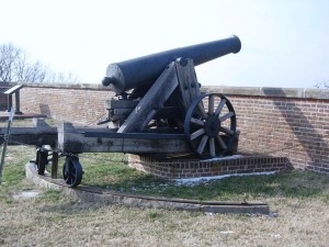
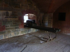
This 24 pounder cannon has an effective range of 1900 yards, almost double the distance to the Virginia shoreline.

This 24 pounder cannon has an effective range of 1900 yards, almost double the distance to the Virginia shoreline. This is all that remains of the fort’s 1861 armament.

Fort Washington has evolved over the years and is not just one structure but several on the property that were built to meet the changes in strategy and technology. It is also one of only a handful of the seacoast fortifications still in their original form.

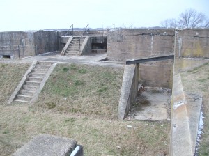
In 1872, the US Army turned the fort over to the Army engineers who constructed new gun positions. In 1896, new concrete batteries were built near the fort for Endicott-era guns, 10-inch rifles on disappearing carriages, 12 inch mortar batteries and 4 inch rifles. Land was purchased and similar batteries were built across on the Virginia side of the Potomac — Ft. Hunt.

In 1921, after the post was no longer needed, it became the headquarters of the 12th infantry. During WWII, the Adjutant General’s Officer Candidate School. was based there. In 1946 the fort was deactivated and became part of the National Park System so that it could be preserved historically and provide recreational opportunities. One Facebook friend says he attended a military school there (or near there) in 2005.DSCN2931
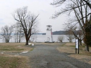
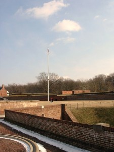
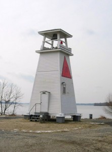
On the point there is also a navigational channel marker which has served as a fog warning.

Our visit was on a cold but sunny day and we started our tour by driving through the park and taking the path down by the river. It’s obvious that the park is used by many nearby residents as a place for walking, bike riding and exercising the dogs.DSCN2925
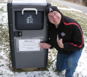
On leaving the car, we came across this trash can with a solar powered compactor.

The old light house/fog signal is small (even compared to DSCN2937Massachusetts lighthouses), less than 30 feet high.
The area between the main fortification and the river has been used over the years for munitions storage, kitchens and later for mounting of cannons and other artillery. From this area is also the entrance called the sally port. Steve walked in this way but found that entrance locked.
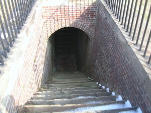
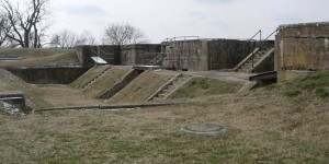
The stairway from the water battery inside the fort.

The stairway from the water battery inside the fort. Doors at the landing below provided protection and thus a sally port.
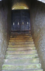
The stairway from the water batter outside the fort

The stairway from the water batter outside the fort. Doors at the bottom and at the top (shown) provided additional security.
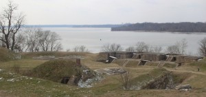
 

DSCN7848

Mt. Vernon lies just beyond the tree-covered point on the right.
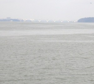
DSCN7821

Looking upriver. The bridge in the distance is the Woodrow Wilson connecting MD to Alexandria VA via I95/495

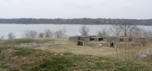
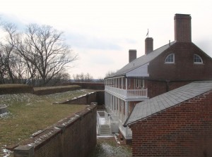
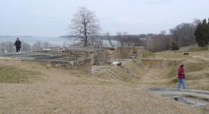
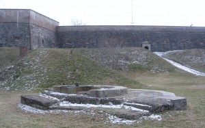
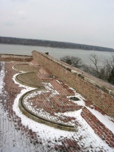
The fort is located on a high point at the juncture of the Potomac River and Piscataway Creek, slightly upriver from Mt. Vernon. This area is known as the Water Battery. In this area were several support facilities for the fort including the powder magazine, storehouse, saddlers shop, blacksmith, stables and the shot house. In the late 19th century, the area underwent major changes as platforms for four fifteen inch guns were added. Later, there were provisions for the Endicott guns. Guns located in this area could ricochet across the water (like skipping rocks) to more directly and accurately hit attacking ships.   DSCN7820 DSCN2953
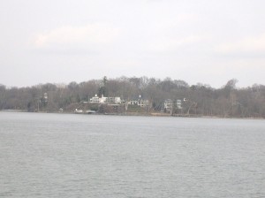
DSCN2943

DSCN2954
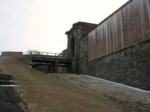
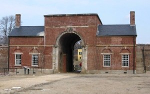
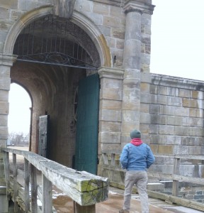
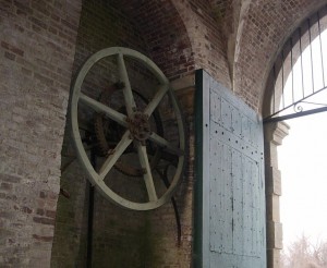
P1060125Two sets of gates protected the main entrance. During renovations made in the 1840s, a drawbridge was added to further protect the entrance. A series of chains and counterweights provided for rapid closure in case of attack from the land side. Additionally, 13 guns provided protection. Gunrooms were built flanking the main entrance (or sally port) to aid in that protection.
P1060063

DSCN2955

DSCN2975

The main entrance or sally port from inside.
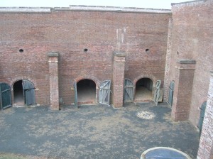
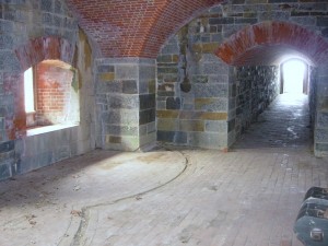
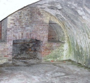
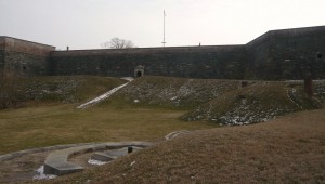
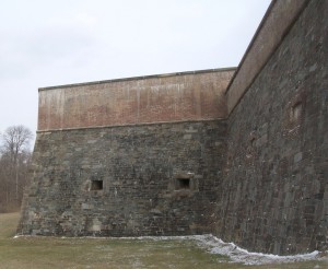
DSCN7857The northwest demi-bastion was designed to contain two levels of guns but only the upper row was installed. The lower level was used by laundresses who lived with their soldier husbands until better quarters were built later. The area was also used for storerooms.
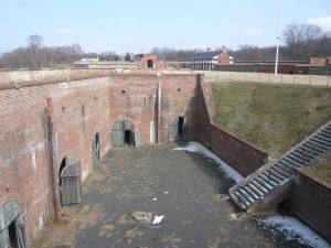
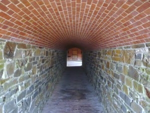
P1060105DSCN2965Also part of the 1840s improvements was the addition of this protected passageway called a capionere which projected from the landside wall and included two levels of guns mounted on swivel tracks to facilitate aiming.
P1060112

P1060113

DSCN2981

P1060114

The capionere also provided a hidden point to keep an eye on the four-legged neighbors.

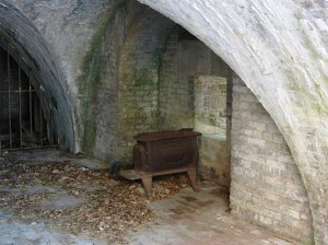
There was also a battery along the outer wall of the ditch surrounding the fort. This provided the capability to fire muskets against attackers who had entered the ditch as well as towards the river.
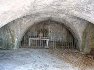
DSCN2995

DSCN2994

Postern gate, now sealed up

DSCN2993

P1060082

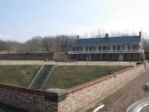
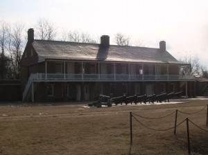
Officers quarters

DSCN2999

Looking across to Enlisted quarters

DSCN7886

Another view across the main parade ground
DSCN2966

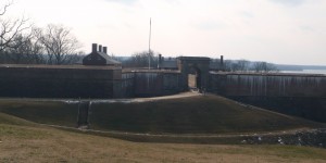
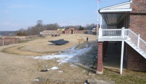
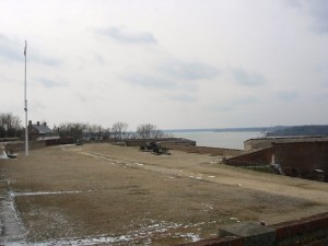
Looking south across the parade ground from above the front gate. A shed (no longer there) at the far corner provided lookout and control capabilities for the Endicott era mines in the river.
DSCN3010

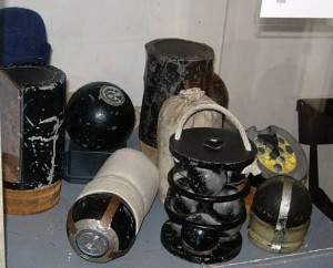
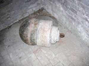
Part of the river mines system from the late 19th century.
DSCN2960

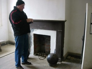
Father Steve with a cannonball in the guard shack.
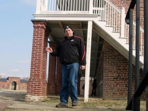
DSCN2992P1060106DSCN7869DSCN7873DSCN3000DSCN2982

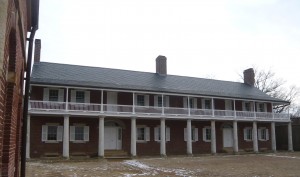
Exiting the fort, you see the visitor center in the yellow house on the hill. DSCN2947 At some point, it was the commanding officers’ quarters but it is not clear during which era. The visitor center contains an audio-vsual presentation as well as some historical
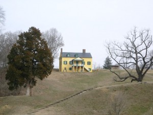
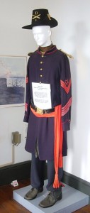
DSCN3013 DSCN3021exhibits. It also contains the highly sought after (at least by Betty) gift shop! On this particular day, it also contained the first place with heat that we had entered since leaving the car.

Outside the visitor center is the Battery Commander’s Center (the concrete tower) and Battery Decatur.
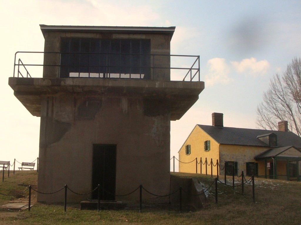
DSCN7898
Battery Decatur was completed in 1891 and is made of reinforced concrete. It reflected the shift in defensive structures to rifled projectiles. On the top were mounted 10 inch guns which used the recoil energy to lower the gun out of sight for reloading. The guns had a range of about 7 miles. DSCN3011The lower stories had storerooms for shot, powder and shells and cranes to lift the ordinance to the upper floor guns.
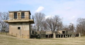
During WWI, the two guns of Battery Decatur were shipped to Fort Monroe Va enroute to use in France. Ft. Washington was garrisoned by the DC Coast Artillery and a number of military units were organized there. The fort was also used as a staging area for troops headed overseas.

Following that, the fort was occupied by the 3rd Battalion 12th Infantry. Its soldies participated in a number of state functions until 1939 when the 3rd Battalion was moved to Fort Myer near Arlington Cemetery. In ’39, the fort was transferred to the Department of Interior and was home to a Civilian Conservation Corps (CCC) barracks.

Following the US entry into WWII, Ft. Washington was returned again to the Department of War. Further expansion occurred with additional buildings for students and to provide support services for training military personnel. The Veterans Administration used part of the area and buildings as public housing.

In 1946, the fort was once transferred to the Department of Interior with may of the WWI and WWII era buildings removed. So far, it has remained a public park since.

After all the tramping around up and down stairs and hills and breathing all the fresh winter air, it was time for a relaxed meal.  So it was over to Proud Mary’s at the Ft. Washington Marina.
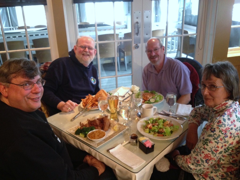
photo7By the time we had finished our meal, it was time to head for home and resume the hotly-contested Uno championship.
January 25: Old Friends Touring Monticello

Steve and Russ were two of Keith’s roommates when we were at the Navy’s training facility in New York. Although our paths diverged quite a bit afterwards, it was an intense time in our lives and the friendship that really got its roots there has continued and deepened through the years. At least once per year, we try to get together and visit with each other and to play tourist somewhere. For point of reference, Betty and Keith met while Steve, Russ and he were roommates.

On January 24, the website for Thomas Jefferson’s home in the hills near Charlottesville VA indicated that they had closed early due to the inclement weather but to check back for the schedule for the next DSCN2868 day. At sometime after 9:00 am on Friday, January 25 the website indicated they would be open normal hours so we loaded up with hopes of seeing Monticello and maybe even Monroe’s Ash Lawn and Madison’s Montpelier. The forecast was calling for the possibility of light snow in the early evening.

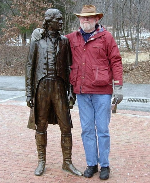
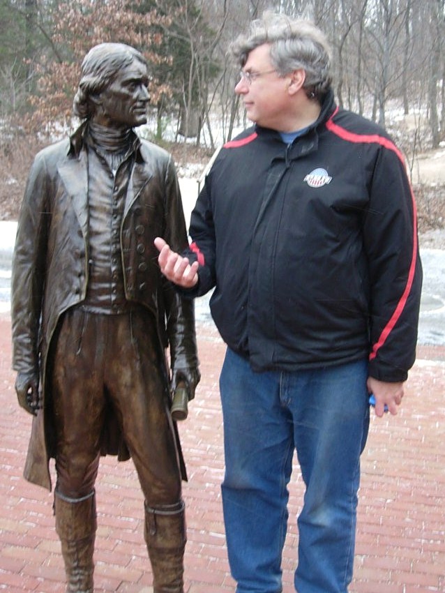
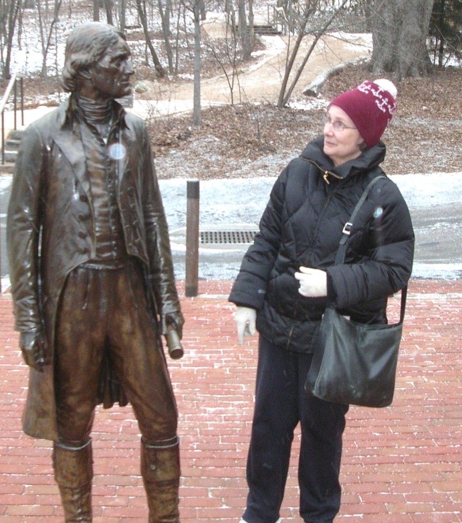
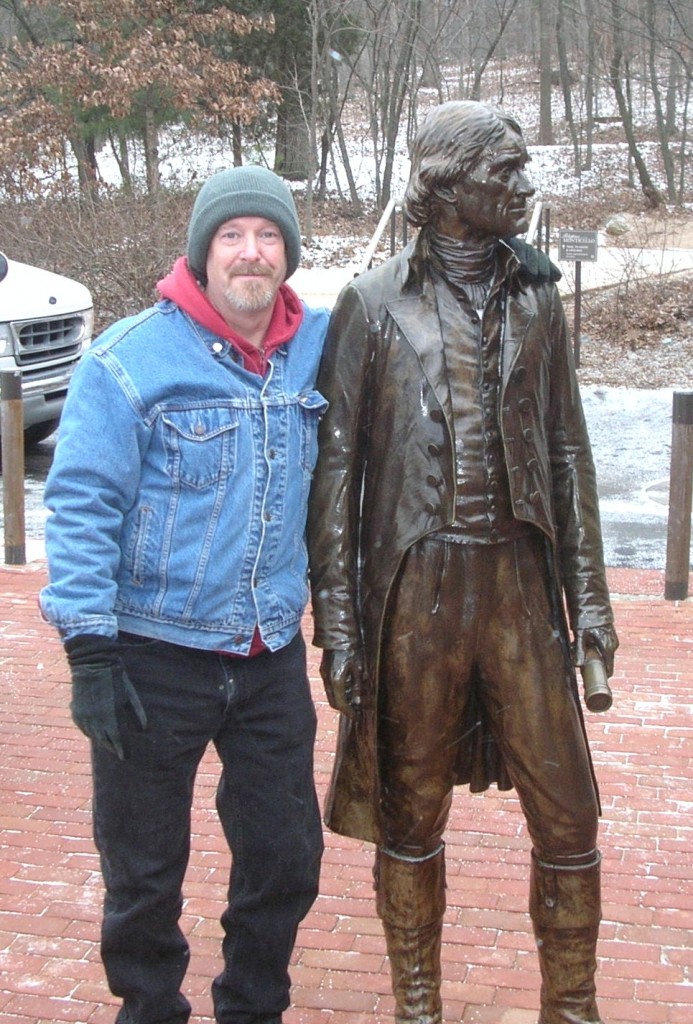
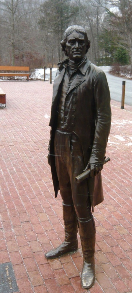
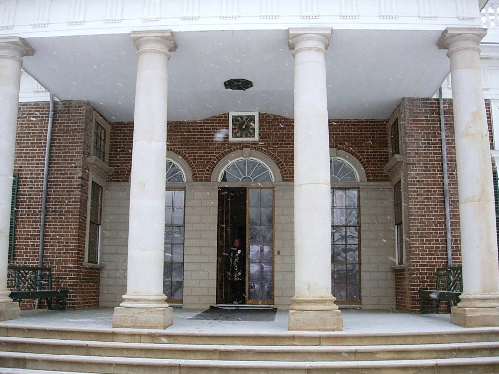
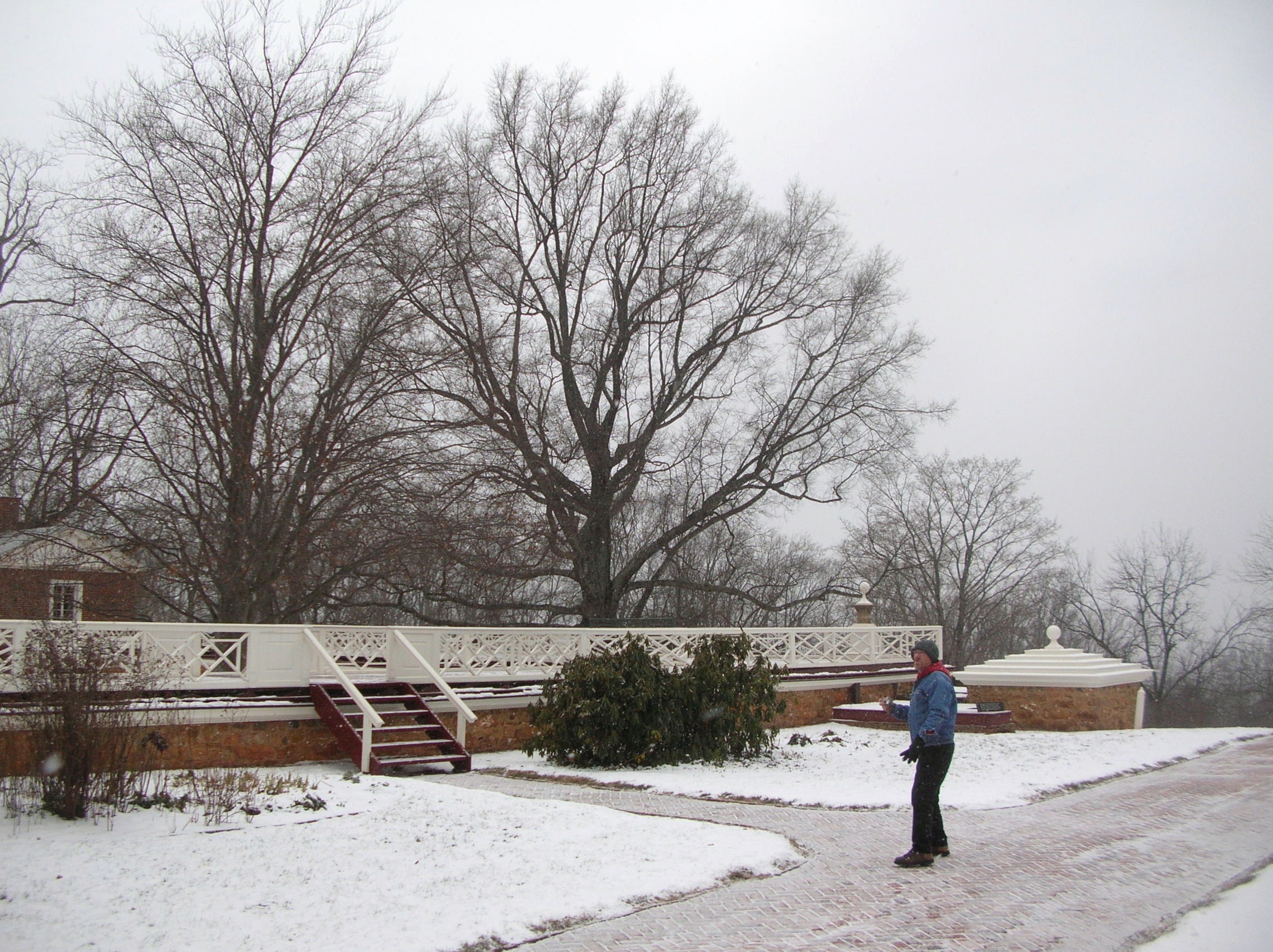
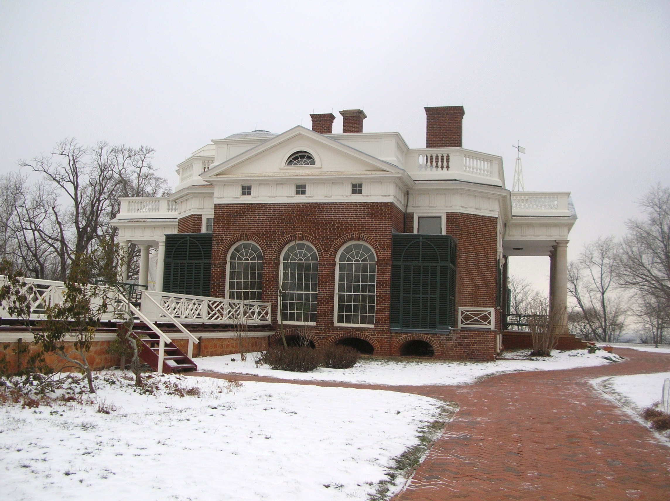
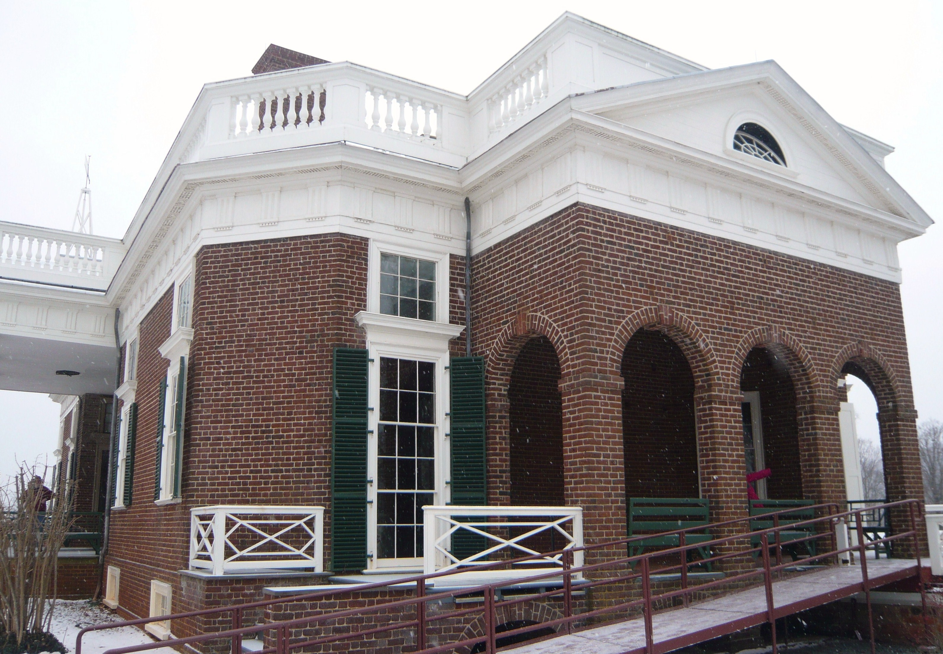
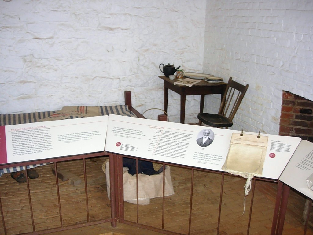
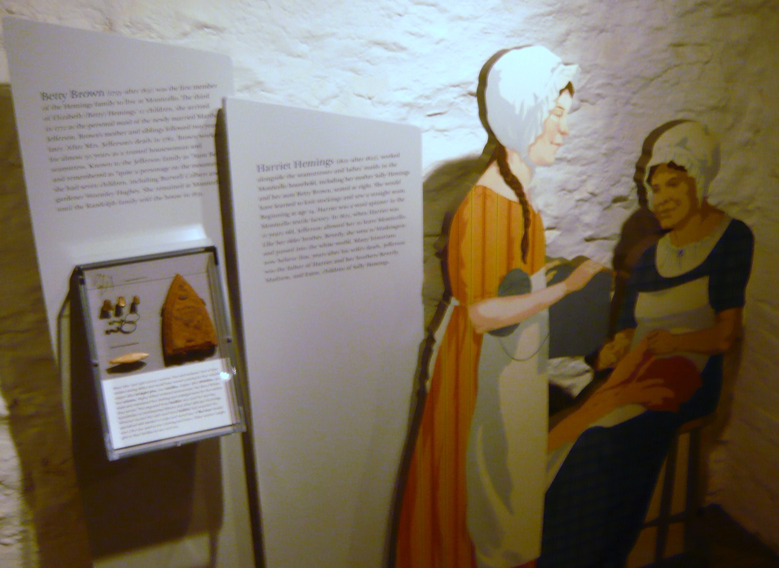
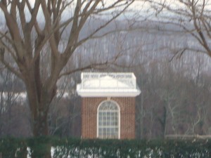
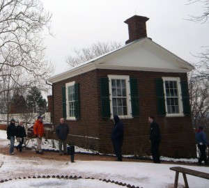
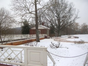
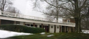
Not in any particular hurry to get there, we meandered a bit and considered getting lunch on the way but decided to wait until after our tour and pulled into the nearly deserted parking lot about 1:00. It appears the flurries and cold had discouraged many less hearty souls from the hilltop this afternoon. We went inside the cluster of buildings and bought our tickets for the 1:30 tour. After we purchased our tickets, we were told that would be the last tour this day as they would be closing early today because of the weather. When I had last toured Monticello (a time best measured as a couple of decades rather than a specific number of years), tickets were purchased at booths similar to those seen at a fair rather than the complex of steel and cedar with brick walkways. DSCN2869 Since our tour was departing soon, we decided to skip past the gift shop and theater DSCN2870 DSCN2917 but went into the museum to await the shuttle. The museum exhibit was themed more around the lives and times of the others living at Monticello, including the slaves of his era and later occupants. Outside the museum was a life-sized bronze statue of our third President and we all took the time to speak with him one-on-one.DSCN7810 DSCN7811 We boarded the bus and Jefferson watched us head up the hill. He’d be there when we returned.
P1050996
We rode in the shuttle bus up to the main house and you could feel it getting colder and the snow flurries came more frequently.
DSCN2905

P1050998

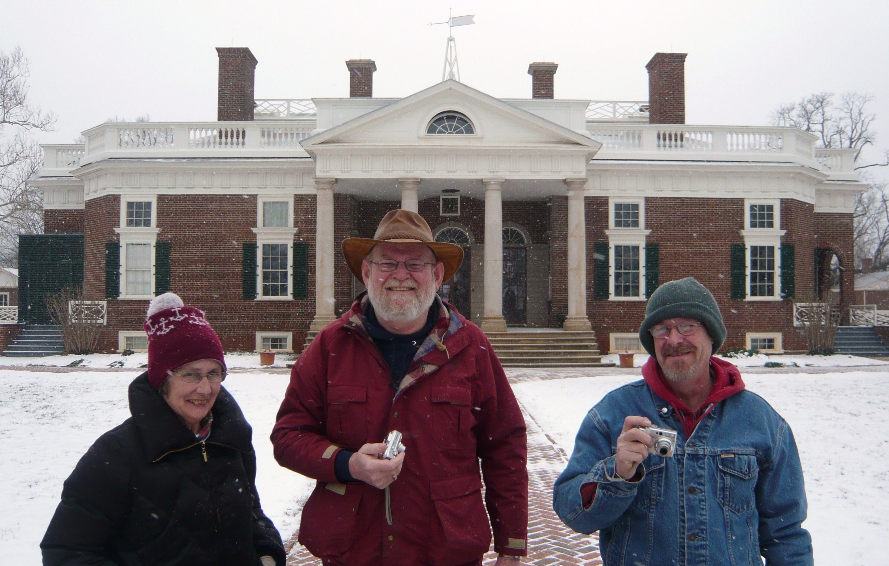
Perpetual tourists. Seemingly oblivious to the cold but cameras in hand…

"Y'all take your time looking around out there. We're waiting on another bus but I'm closing this door."

“Y’all take your time looking around out there. We’re waiting on another bus but I’m closing this door.”

DSCN7789

The low square structure at the corner is a cistern for saving rainwater.

DSCN7804

Jefferson’s library and personal quarters from the outside. The openings along the ground under the floor level allowed for warming fires to support the plants he grew.

P1060005

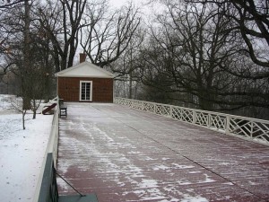
Guest rooms occupied the rooms to the left in this picture and a tea room was to the right (rear). While Jefferson was ahead of his time in many regards, the accessible ramp is a more recent addition.

Our tour began on the first floor inside but the cameras had to be put away there due to copyright and ownership issues on some of the loaned display items. I suggest you visit the website here where more detailed discussions and pictures can be found.
The first room we visited was the main entry which included a view of the large one-week clock which Jefferson had built as well as artifacts from the Lewis and Clark Expedition into the Louisiana Purchase.
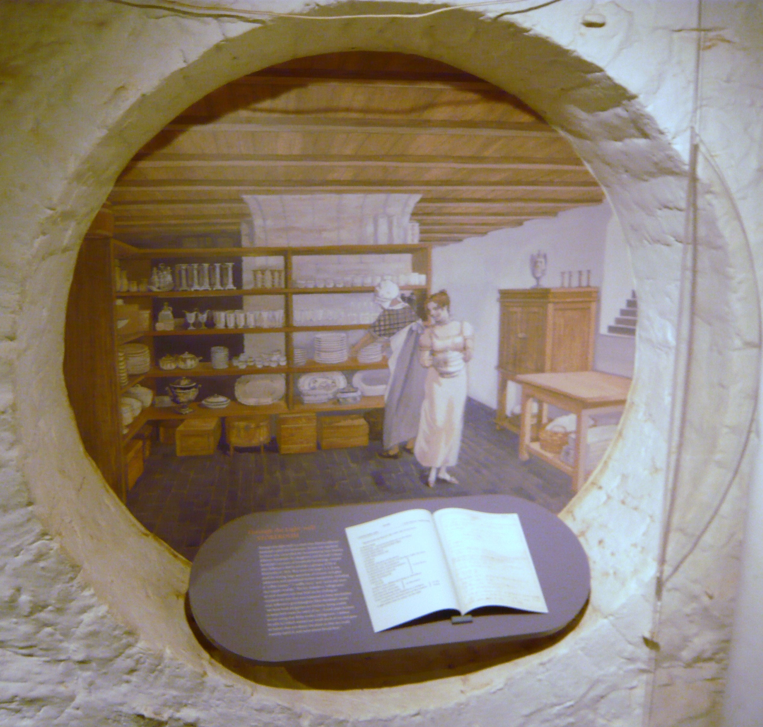
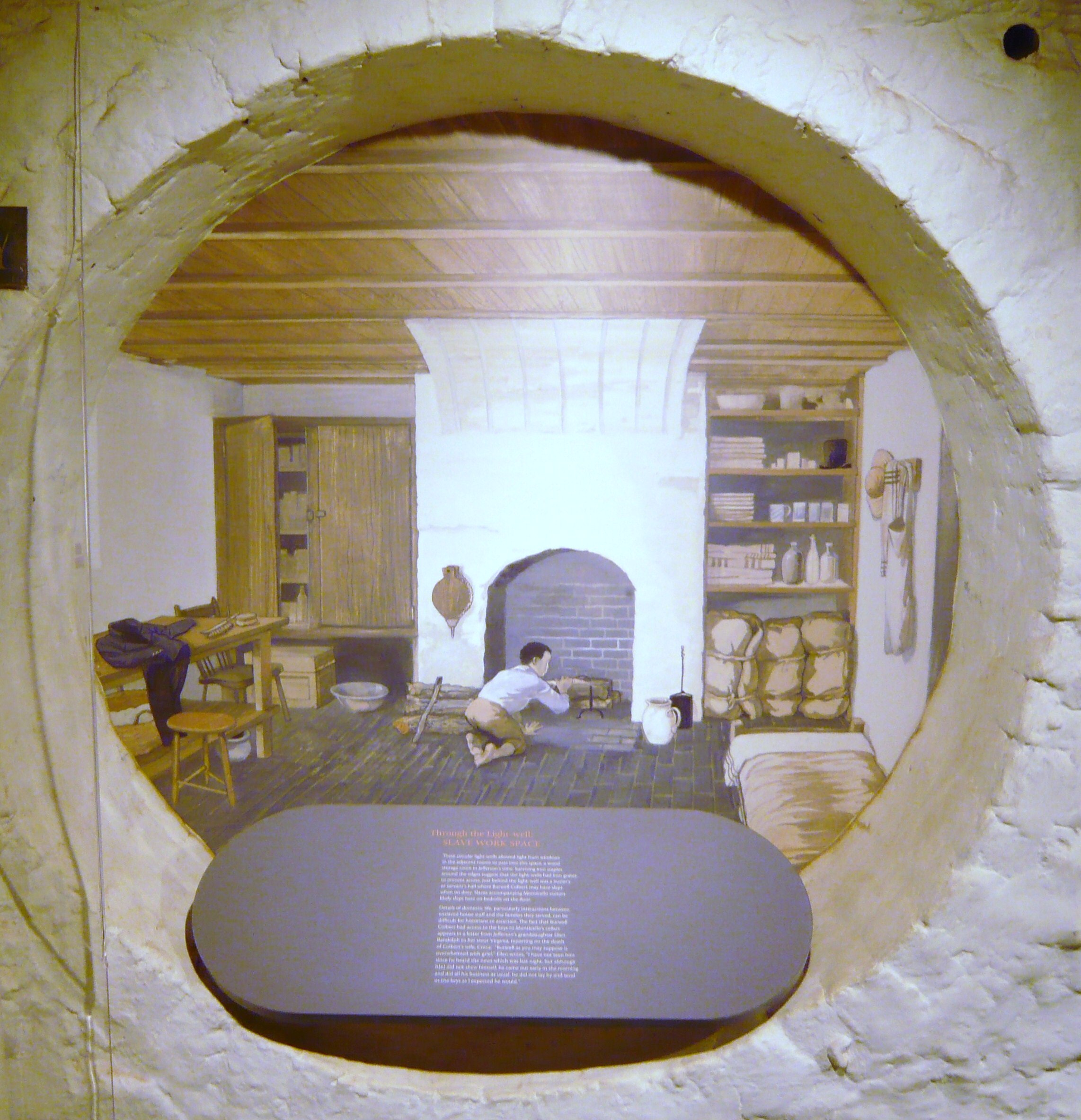
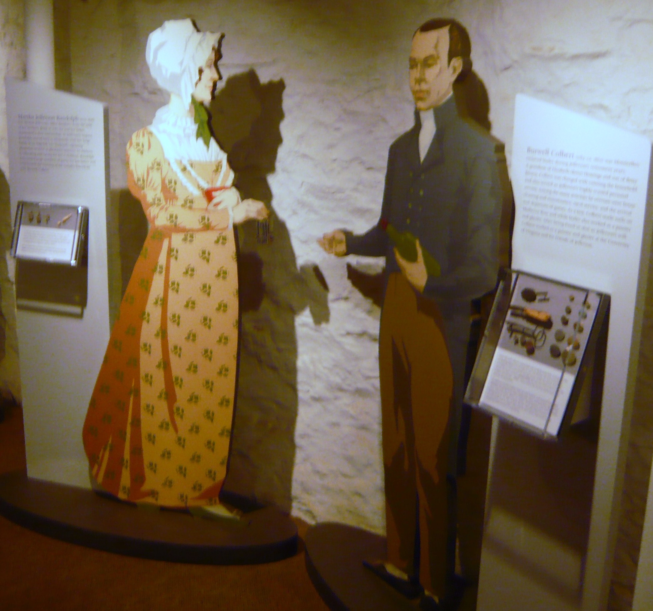
We moved into the family’s quarters seeing Jefferson’s library and hothouse which was heated in part by fires under the brick floor. We curved across the backside of the house and into the dining area with bright paint which seemed a cross between sunflowers and marigolds. Continuing around to the opposite front corner of the house, we viewed a guestroom and then moved down a narrow stairway to what would be service areas of the house, generally used by the servants and working folks rather than house guests.

DSCN7794

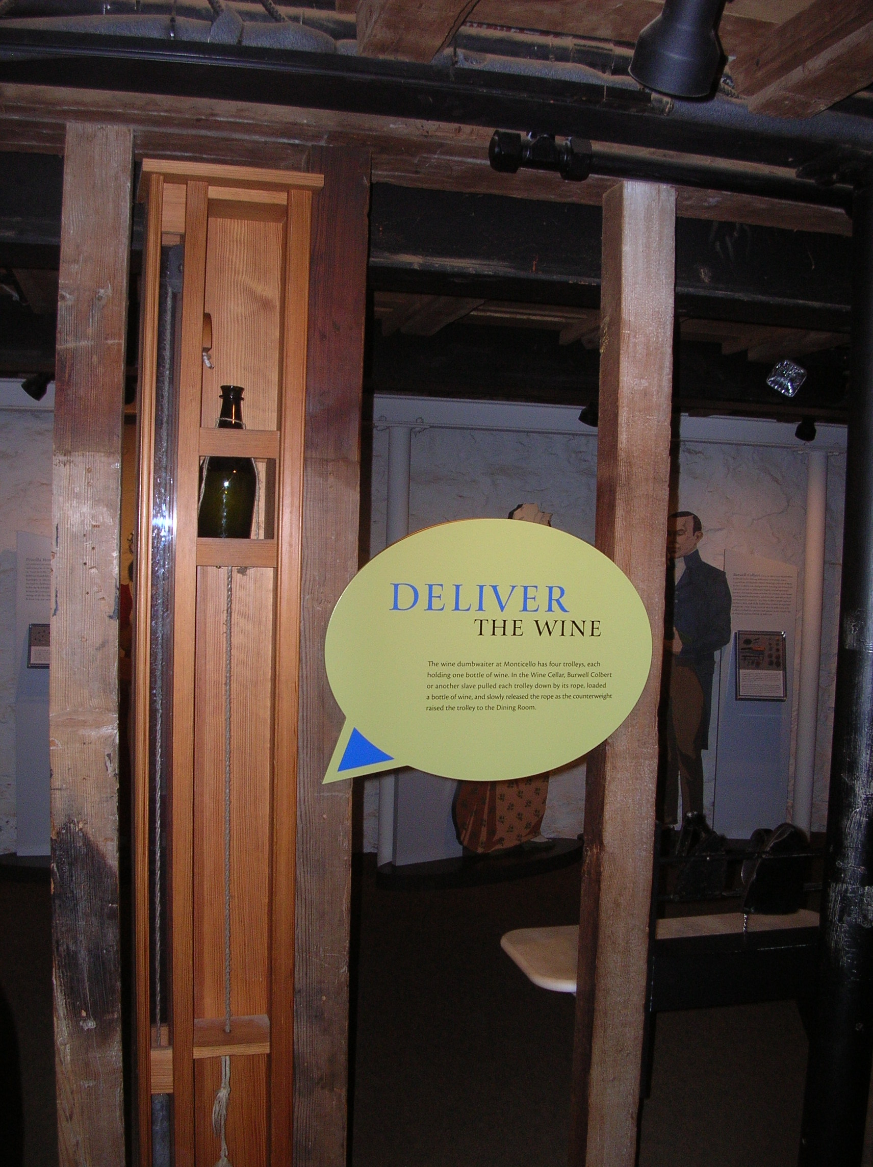
This bottle-sized dumb waiter allowed sending wine directly from the wine cellar to the butler’s pantry off the dining room.

DSCN2891
DSCN2883 DSCN2884 DSCN2889 DSCN2890 DSCN2893 DSCN2894 DSCN2895 P1060006 P1060007 P1060008 P1060009

DSCN7792

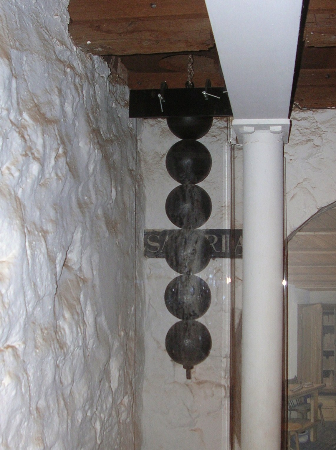
The 7 day clock upstairs is operated by these weights but the length is too much to be fully contained on one floor so the end of the weights goes into the cellar.

DSCN2892

This passage leads from the cellar south to the outside.

DSCN2880

One of the cisterns. Because of periodic shortages of water, Mr. Jefferson installed 4 at strategic locations to catch rainwater from the house and walkways. Each of the four potentially held 3,800 gallons.

DSCN2882

These were single rooms that were used as a study or quiet place by Jefferson and his guests.

DSCN7797

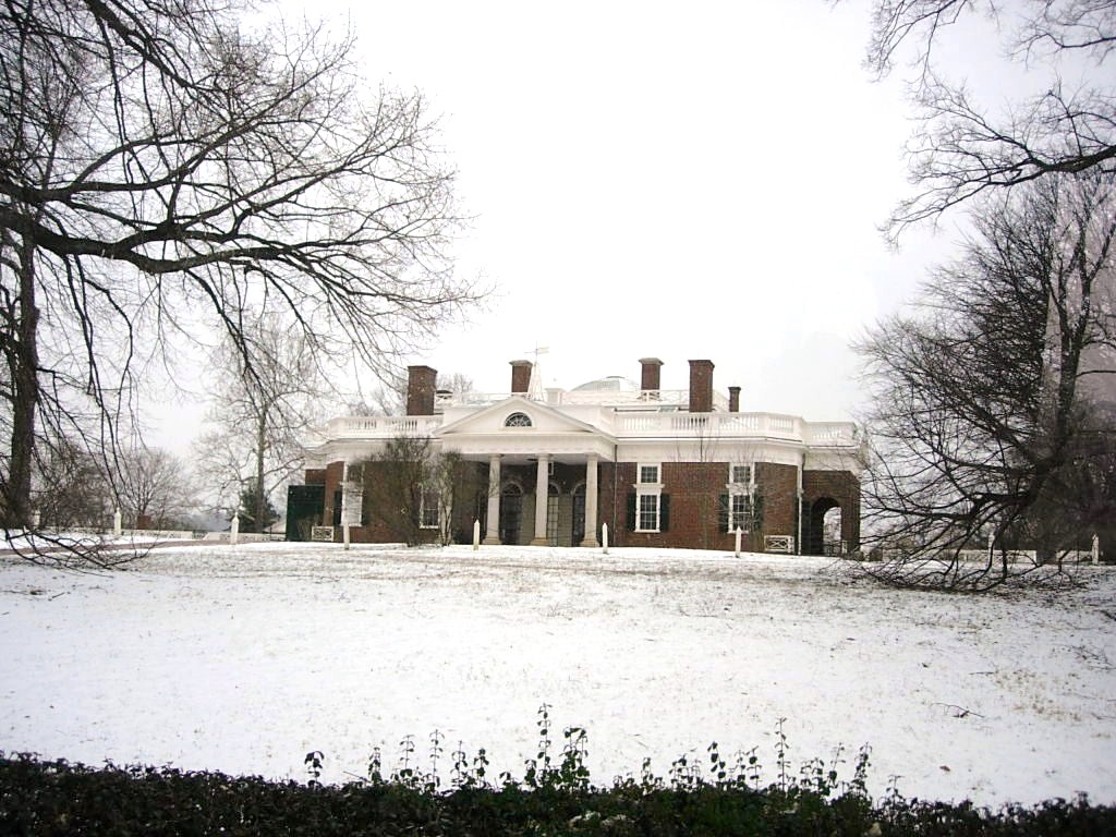
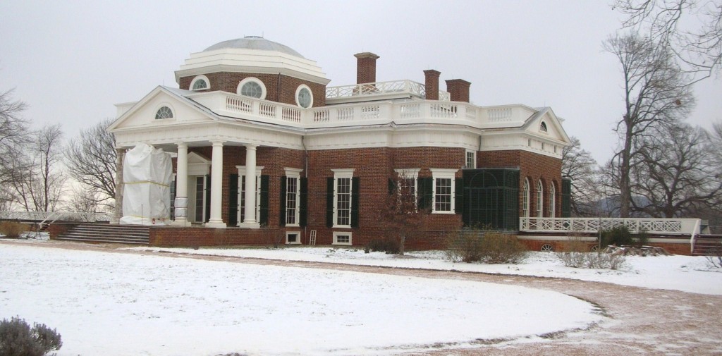
The more famous views of the house were actually the back. The white sheeting covering the columns is to protect renovation/restoration work in progress.

DSCN7800

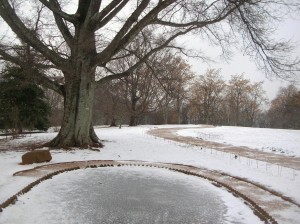
The fish pond is covered in ice. Fish caught in neighboring streams were kept alive until needed for the table.

DSCN7805

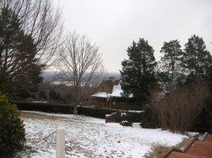
The view to the south

P1060020

The Garden Pavilion, favored by Jefferson as a quiet and peaceful place to read in the cool of the evening, was toppled by several windstorms following his death and was restored in 1984.

P1060018

The south pavilion was called the “outchamber” by Jefferson. Thomas and Martha originally lived in this. The lower story was at first a kitchen until it was later converted to a laundry (1808). In about 1818, the laundry was moved to the North Pavilion as it was closer to a natural spring.

DSCN7807

Under the walkway leading to the South Pavilion were several rooms which included a dairy (where milk was stored and butter made) and quarters for the enslaved workers who worked in and around the house.

DSCN2909

Under the walkway leading to the South Pavilion were numerous rooms

DSCN7799

North Pavilion

DSCN7806 DSCN7808
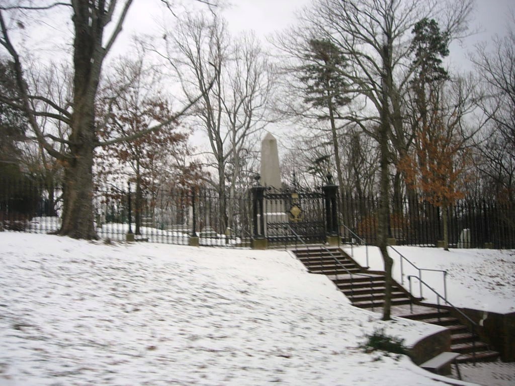
Our tour guide graciously led us to the back of the house and invited us to look around but told us the last shuttle down the hill would be leaving soon. On the way down the hill back out to the visitors center, we were given a brief stop by the Jefferson family graveyard. DSCN2911

When we reached the visitors’ center, everything was locked up so no gift shop or looking around a bit further. It was back to the car to move along so they could close the gates.

In fairness to the folks at Monticello, we need to relate a bit more of the story. Yes, their website had said they would be open regular hours and the forecast was for slippery roads coming down off the hill but that was the same forecast they had when they announced they would be open all day. No one was rude but you could sense that the folks who worked there were concerned about getting safely home and we were what stood between them and being on their way. When we got home, we sent an email expressing a concern that the daily update of the website could stand a reevaluation of policy. They agreed and said they would be looking into that. They also sent us a set of tickets to be used for another day and a nice book from their gift shop. It’s often said that the true measure of customer service and graciousness is how you handle an issue, rather than a perfect record of never having an issue. They handled the recovery well.

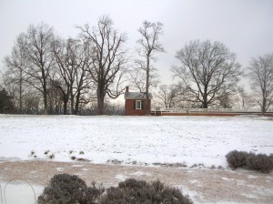
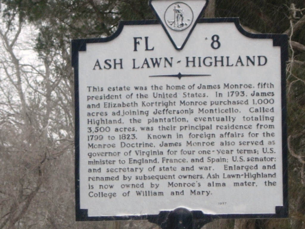
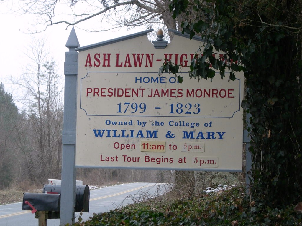
After we left Monticello, we drove over to see nearby Ash Lawn, the estate of President John Monroe, owned and operated by his alma mater, the College of William and Mary. Alas, they were also closed due to the weather but we did manage to get a couple of pictures.

DSCN2922

Bit of trivia, Virginia’s governor now serves for one five year term.

DSCN2918 DSCN2919 We’ll have to save Ash Lawn for another day. Perhaps an earlier start will get us to Montpelier as well.

And so we headed for home but we had skipped lunch and were all getting a bit hungry. In the course of seeking a restaurant that suited all, it became known that Father Steve HAD NEVER EATEN AT A WAFFLE HOUSE!!! So we remedied that.

DSCN7813

There’s something very, very wrong with this sign. Do you know what it is?

photo1After food, it really was back to the house with a stop at Wawa (somewhere else Steve had never been).

The Uno Championshp Series continued well into the night!

November 30 and December 1: Beaufort and Port Royal SC and the trip home

We had breakfast at the Atlanta Bread Company one more time before leaving Savannah, checked out of the hotel and drove to Beaufort. We had reservations at the Hilton Garden Inn in the central district and quickly learned one of the facts of life about living in and around Beaufort.

Our reservation was for 3:00 and we arrived around 1:00. Due to the proximity of the Parris Island USMC Recruit Training Depot (boot camp), hotel rooms are in short supply on Wednesday and Thursday nights as families are in town for Family Days and weekly graduation ceremonies. Graduation takes place 38 weeks of each year. Fridays are heavy checkout days and rooms are rarely available early. In making the reservations, we learned that room rates are significantly higher on those nights.

We met up with Bruce and then followed him to his friend’s, Eddie and Donna’s, place on Lady’s Island. We went beyond the end of the paved roads and turned onto the dirt road leading back to their place. Turning onto the dirt road was interesting as the road went to either side of two large oak trees. At least in our mind, it appeared as if the dirt road was divided and had a landscaped median! (We later found out that the road had been re-routed/doubled as there was insufficient room to allow fire trucks to make the turn should they ever be necessary.)

We had planned to spend some time learning about housing options from Eddie, a custom builder as well as meeting Donna and their horses. Two were shires (draught) horses and one was a thoroughbred. The shires towered over all of us. Eddie and Donna have a few (5?) acres at the end of the dirt road with all the necessary fixtures to support the horses.

They also have a rather unique residence. Its a large metal building with horse stables on one side with doorways to a paddock. On the other side is storage for Eddie’s construction business and equipment with large enough doors to drive the loaded trucks in and through. In the center, raised above the main floor is their living quarters. Donna told us they originally constructed the living quarters so they could hire someone to tend the horses and watch the property but decided to move in themselves after it was finished.

Eddie was detained with a builders meeting so we got to spend quite a bit of time visiting with Donna who gave us a tour and shared some insider information about living in the area. She also walked us over to meet one of the neighbors, Jason, who is a caterer and has an interest in old military vehicles. We spent some time with him ogling HUGE trucks and listening to them run. Jason has also rigged a zip line across his property for entertainment. Jason’s family also provides temporary foster care for dogs who are between stable home situations. The assortment of dogs ran from a big lab all the way down to a small dachshund who welcomed the additional attention once they decided we belonged there. Remember, dogs are great judges of character so we take their endorsement well.

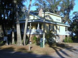
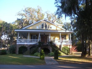
We enjoyed our visit tremendously and left to go look around the area a bit. Bruce showed us a development called Newpoint tucked off the main road. Newpoint is a residential community built with older, low country styles (big porches, close to the street) and is quite an attractive neighborhood with an older flavor. Nicely done with a few houses for sale and a couple of lots available for building but not in our price range. The neighborhood is definitely walkable with an ice cream cafe at the entrance but the car would be needed for most any other errand.

We grabbed lunch at The Upper Crust at the Shoppes at Hamilton Village. Eddie met us briefly as we arrived on his way to another commitment. He was able to answer some general questions for us as it had been a very long time since we had paid attention to details of modern construction methods. First impressions count and he seemed like someone we could potentially work with if we decide to build in that area.

We next went over to look around in Port Royal. Port Royal is actually an older (30-50 years? mostly) town with the same sort of feel as Newpoint. Houses are more cottage sized. Commercial operations are situated along the waterfront with a big sign announcing a coming condo complex.

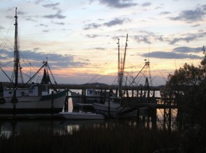
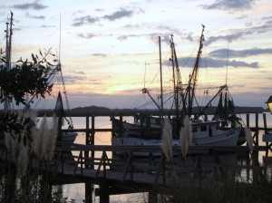
Port Royal is a scenic little town across the water from the Parris Island facility. We enjoyed sightseeing there. We also got to watch the sunset over some of the fishing fleet.

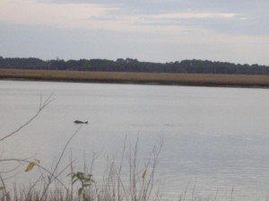
DSCN7755 DSCN7756 DSCN7758As we watched the sunset, we also saw a couple of porpoises rolling in the water.

After watching the sunset, we returned Bruce to stay at Eddie and Donna’s and then returned to the Hilton Garden for the night. Tried to get some shots of the nearly full moon through the trees but they didn’t turn out.

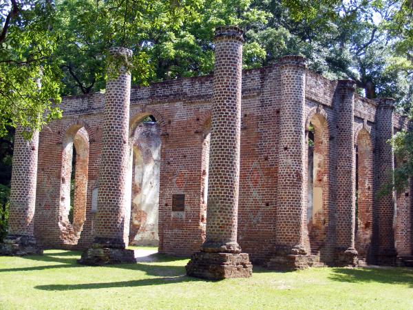
We woke Saturday morning and began the drive back home. The most direct route home took us through Yemassee to I95. We passed by the Old Sheldon Church ruins but didn’t take time to stop this trip but its on the list for a future trip.
Old Sheldon Church ruins. Image courtesy of Google.

The remainder of our ride home was uneventful. As usual, we enjoyed sleeping in our own bed again.

November 29: Beaufort SC

After checking out Garden City and Pooler GA, we headed over to Beaufort SC. Its about an hour drive. We had tried to get reservations at the Hilton Garden Inn in the central district and quickly learned one of the facts of life about living in and around Beaufort. Due to the proximity of the Parris Island USMC Recruit Training Depot (boot camp), hotel rooms are in short supply on Wednesday and Thursday nights as families are in town for Family Days and weekly graduation ceremonies. Graduation takes place 38 weeks of each year. Fridays are heavy checkout days and rooms are rarely available early. In making the reservations, we learned that room rates are significantly higher on those nights.

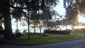
Betty had found an excellent little guide book to help with our familiarization with the Beaufort area. We went to the park at Pigeon Point and then headed into the historic area.

DSCN7742

DSCN7741

DSCN7743

DSCN7744

DSCN7745

DSCN7746

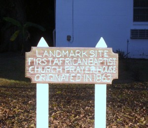
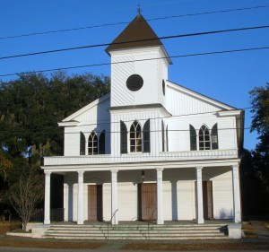
In addition to many homes, we found this historic African Baptist Church and the light seemed just right to grab a picture or two. DSCN7747

DSCN7748

DSCN7751

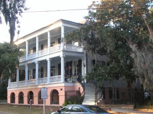
Milton Maxey House
Craven Street – ca. 1813
Built around 1813 on original tabby foundation dating 1743, the Maxey House is known as the “Secession House” after the first meeting in favor of secession was held here.

DSCN7752

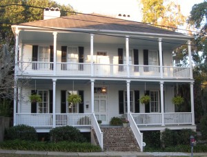
William Fickling House School masters house now rectory St. Helena

DSCN7753

DSCN7754

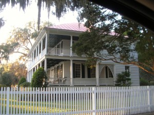
Charles Edward Leverett House

Following our self-guided tour of the historic district, we decided to check out shopping options in the local area while we awaited the arrival of our friend, Bruce. We went to the Cross Creek Shopping Plaza and walked through a couple of stores, including Belk and JCPenney. We skipped the Walmart. While we were walking about, Bruce called to let us know he had arrived.

When we got together, Bruce contacted his friends Eddie and Donna to see if they would be able to join us but they were unable to meet us but we made plans to get together on Friday.

Dinner was on Lady’s Island at a place called . Barbara Jeans, a local chain with locations in from St. Simons to Charleston. Bruce had been there before and knew what he was getting. Bruce had the pot roast, Betty had the grilled Catfish and Keith had the crabcakes. All were delicious and the desserts sounded yummy as well but our appetites were well satisfied after dinner.

We parted ways with Betty and Keith returning to Savannah and Bruce headed for Yemassee with plans to meet again the next day.

November 27-28: Savannah – The Squares and the Riverfront

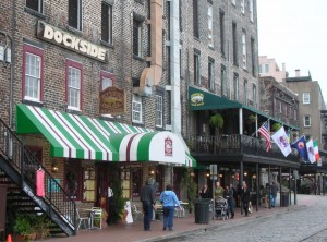
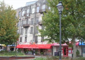
Our Tuesday plans were to visit the historic area including several of the squares in Oglethorpe’s design and to head back to the riverfront to take some pictures to share. On Wednesday, we did a little shopping and drove out to suburban Savannah to check out a housing development as one of our objectives this trip was to consider possible retirement locations.

Breakfast was once again at the conveniently located (and tasty) Atlanta Bread Company and then off to the Tourist Bureau for some information and a parking pass.

Savannah offers a one or two day parking pass for tourists which saves the hassles of finding the right change for parking meters and actually winds up being cost effective for the parking garages and meters. Its one of those things you don’t see advertised much but is definitely a convenience factor. Look into it if you’re driving in town.

VISITOR DAYPASS – Visitors may purchase a two-day parking pass for $12, or a single day parking pass for $7 from the Savannah Visitors Center or the Mobility & Parking Services Department.

This pass authorizes free parking on meters of one hour or more, free parking in the City’s lots and parking garages upon availability, and allows exceeding the time limit in time-limit zones. Visitor DayPasses must be filled out with appropriate information to be valid and will not be honored during special events. Parking in Savannah

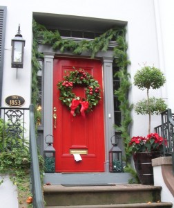
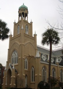
DSCN7669DSCN7682DSCN7683 We started down Bull Street, parking along Monterey Square. We just happened to park in front of this brightly decorated door on Gordon Street to begin our walk.  Across the street was Congregation Mickve Israel, home of the third oldest Jewish congregation in America.

DSCN7670DSCN7671DSCN7672 Just around the corner on Bull Street was this little shop called Folklorico. Its housed in a building which was previously a street-level shop with living quarters above. Now both floors are part of the shop and the stroll through was as interesting to see the building as it was to see the shop’s wares.

We wandered into one of the little shops located under the main floor of a house on Monterey Square. This one, V & J Duncan Antique Maps, had a collection of antique maps, books and postcards which was a diversion and very interesting. We even found old postcards from Oberlin College in Ohio!

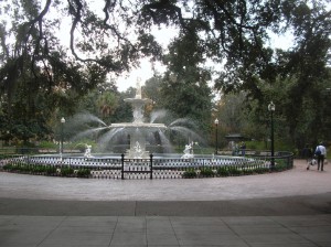
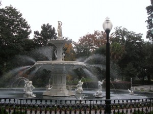
Forsyth Park is a large (30 acres) green area in the center of Savannah’s historic district. In addition to the elaborate fountain, there is also a Confederate memorial, flower gardens and recreatiDSCN7673onal fields, even a venue for the occasional concert.

Every St.Patricks Day the fountain is ceremoniously turned green in celebration of Savannah’s deep Irish heritage.

DSCN7674DSCN7675

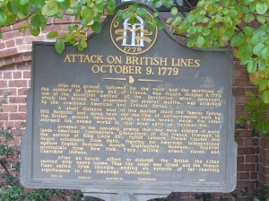
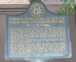
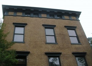
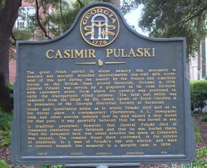
Major General Henry R. Jackson was an attorney and an officer for the Confederacy during the American Civil War. The building was used as Union Army headquarters during the occupation of Georgia. Jackson didn’t purchase the home until 20 years after the war where he lived until his death in 1898. (Jackson is one of the famous who lie in Bonaventure Cemetery.) His home later became the Oglethorpe Club, the “oldest gentlemen’s club in Georgia.” Organized in 1870, the Oglethorpe Club was established by a group of Savannah’s leading citizens. It still remains a fashionable private club today. DSCN7676DSCN7678Pulaski Square is probably best known for the live oak trees growing there. Casimir Pulaski is best known for being a Polish-born hero in the American Revolution. Pulaski Square has the marker shown in the picture but the statue of Pulaski is located in Monterey Square. The cornerstone for Pulaski’s statue was laid in Chippewa Square but funding ran out before the statue was completed. Pulaski (the man) was mortally wonded in the Siege of Savannah in 1779. The place where he died (and is buried) is not known with certainty. There were reports that he died at sea enroute to Charleston SC and was buried at sea. There was also persistent belief that he actually died at Greenwich Plantation near Savannah. Someone’s body was dug up from Greenwich Plantation and that body could have been Pulaski’s so they were moved to Pulaski Square and enclosed in a metal case. The Gerogia Historical Society thinks they have the fatal shot removed from his leg. Despite all the apparent confusion, Casimir Pulaski was a Revolutionary War hero and is memorialized here. (In our modern age of forensics and DNA analysis as popularized by television series, the confusion seems particularly quaint to us.) DSCN7680

DSCN7679

Law Offices. The covered portico fills this corner of the property.

DSCN7681

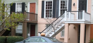
The colors of the salmon and green houses led to this picture being included on the blog but the picture was taken to show the pumpkin on the car’s roof.

DSCN7684

DSCN7685

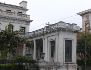
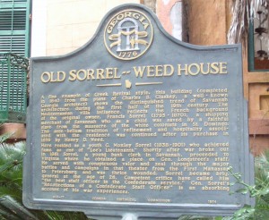
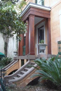
Sorrell-Weed House

DSCN7686

DSCN7687

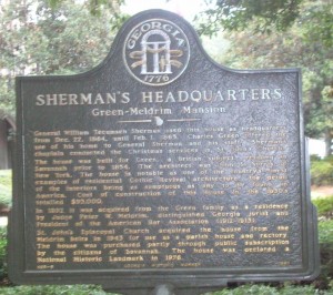
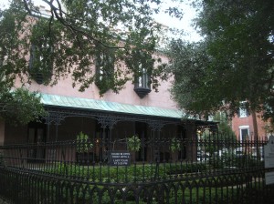
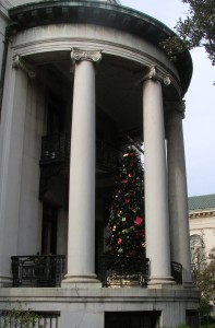
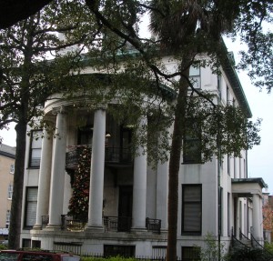
Green-Meldrim Mansion. Used as Sherman’s Headquarters

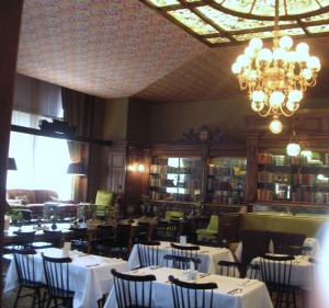
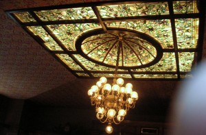
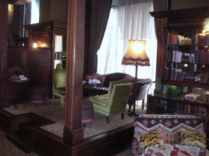
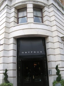
On Madison Square, we saw this eye-catching structure. On the first floor, the appearance was of a fancy shop of some sort with the name Gryphon. We decided to check it out and discovered that it’s actually a restaurant/tea room run by the Savannah College of Architecture and Design (SCAD). Since it had been a while since breakfast and didn’t appear too crowded, we dropped in for a late and light lunch. As it turns out, the first floor once housed an apothecary’s shop and retains many of the original furnishings, particularly around the edges. Since then, I’ve seen several online reviews which were mixed but we were quite impresed our salads, soup and sandwich. The architecture and ambiance make for a pleasant stop. The name Gryphon is pulled from a clock over the elaborate interior shelving. We were “privileged” to eat on the small stage with an excellent view of the interior as well as an outside view of the passersby.  DSCN7688DSCN7689DSCN7690DSCN7691DSCN7693DSCN7694
DSCN7695

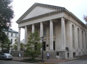
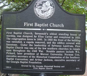
First Baptist Church, Savannah’s oldest standing house of worship

DSCN7696DSCN7698DSCN7699DSCN7700

DSCN7701

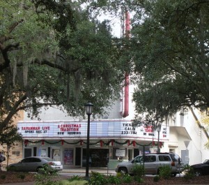
Savannah Theater on Chippewa Square

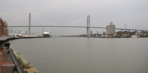
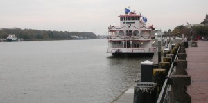
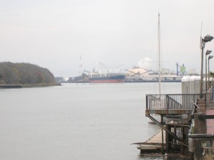
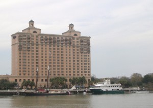
With our appetites satisfied, it was back to the car and off for the river front. Thanks to our parking pass, we pulled into one of the public lots along the river and pier. Looking downriver, we saw the Talmadge Memorial Bridge. The structure is dedicated to Eugene Talmadge, who served as the Democratic Governor of Georgia in 1933-37 and 1941-43. The new bridge was originally named for the Native American Creek leader Tomochichi, an important figure in Savannah’s founding in 1733. After public forums on the issue, the original name was restored for the new structure.

DSCN7702

DSCN7706

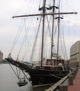
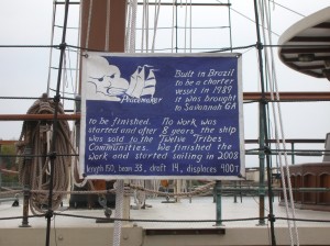
The Peacemaker, owned by the Twelve Tribes communities was originally constructed in Brazil for use as a charter vessel. It was brought to Savannah for some work which was never completed and was sold at auction.

DSCN7710

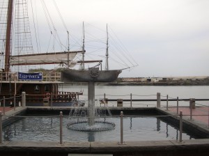
Ship Fountain on River St. The paddlewheels are turned by water flowing through the fountain

DSCN7709DSCN7711

DSCN7703

DSCN7707

DSCN7715

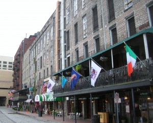
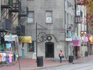
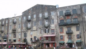
One of the alleyways connecting River Street with the upper levels of Bay Street.

DSCN7712DSCN7713DSCN7714

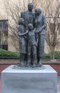
 DSCN7718 A statue memorializing the slave trade that stands looking out over the water on the River Street boardwalk caused controversy in the city, which is 50% black, partly due to its inscription, a quote from the poet Maya Angelou: ‘We were stolen, sold and bought together from the African continent. We got on the slave ships together. We lay back to belly in the holds of the slave ships together in each other’s excrement and urine together, sometimes died together, and our lifeless bodies thrown overboard together.’ This sentiment caused such divisiveness among the city’s residents that Angelou added a final thought: ‘Today we are standing up together, with faith and even some joy.’ Statue was erected in 2002.

DSCN7716DSCN7719DSCN7720DSCN7721

DSCN7722

Cotton Exchange and Mason’s Hall

DSCN7724DSCN7725DSCN7726DSCN7727

DSCN7729

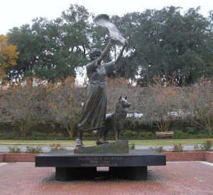
The Waving Girl of Cockspur Island

Late Tuesday afternoon, we went to check out a couple of shopping malls (which turned out being close to our hotel). We weren’t looking for anything in particular, just trying to get a feel for the area as a place to live, instead of just visit.

Wednesday morning, we headed back downtown to do a little shopping (“There was this store across from the bakery with the wooden goose in the window…”)

DSCN7732

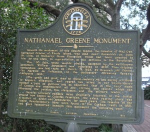
Nathaniel Greene (another Revolutionary War Hero) Monument and Marker on Johnson Square. Read on to find that the location of his remains was in doubt prior to being moved here.

Wednesday was also an opportunity to sample the food at the Pink House which had been recommended. We arrived for lunch and were seated in the bar area but we peeked in all the dining areas on the way in. The food was delicious. Keith had shrimp and grits. The grits were fried in a square almost like a piece of toast. Betty had the shrimp and scallops in Parmesan Cream Sauce over Fettuccine. The cheese bread straws could be habit forming!

After lunch, we headed over to the southside suburbs to check out housing developments. The man at the sales office was pleasant and helpful but our current thinking is that is not quite what we’ll be looking for when/if we leave Maryland.

November 26: Bonaventure Cemetery, Savannah and a “Made in the USA” find

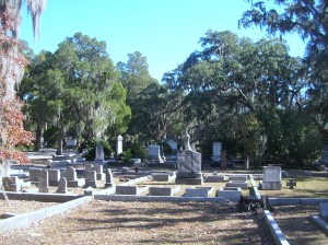
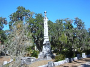
The cover photo for the book (and later movie) Midnight in the Garden of Good and Evil featured a sculpture known as the Bird Girl and located in Bonaventure Cemetery near Savannah in Thunderbolt GA. As it turns out, the sculpture’s role in the book was primarily only a symbol of the cemetery but it stirred up enough tourist traffic in the cemetery to warrant its movement to the Telfair Museum of Art in Savannah.

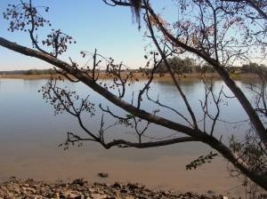
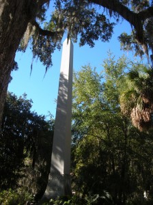
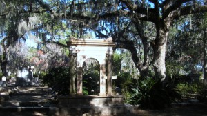
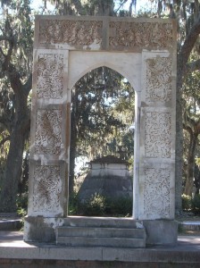
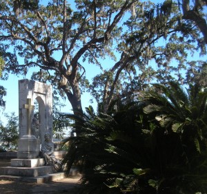
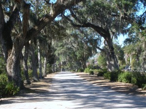
The Bonaventure Cemetery is located next to a creek leading from the Savannah River to the Atlantic Ocean via Wassaw Sound. Its setting includes a waterfront view of the Intracoastal Waterway and massive oak trees dripping Spanish moss. We parked near the water and were greeted by a fisherman who cheerfully asked where we were from. Whether the out of state plates on the car or the likelihood that anyone in that area was a tourist clued him in is anyone’s guess.

DSCN7622DSCN7659DSCN7661

DSCN7619

Is this a china berry tree?

DSCN7623DSCN7624

DSCN7626

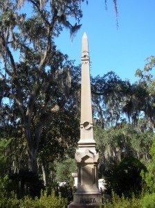
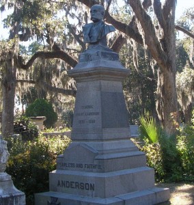
Among the more famous persons buried in Bonaventure is Johnny Mercer

DSCN7627

DSCN7639

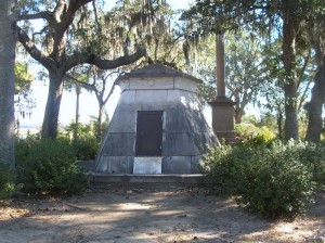
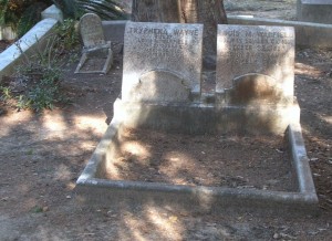
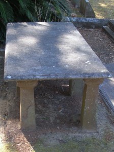
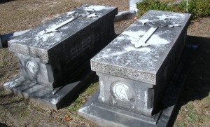
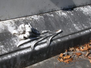
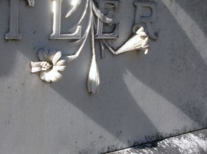
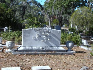
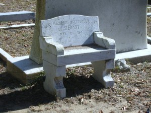
Many of the graves have a cross built into the vault top. It is believed that at least part of the reason for this is to prevent the grave from being used for voo doo rituals.

DSCN7628DSCN7625DSCN7630DSCN7631DSCN7632DSCN7633DSCN7634DSCN7635DSCN7636DSCN7637DSCN7638DSCN7640DSCN7641DSCN7642DSCN7643DSCN7644DSCN7645DSCN7646DSCN7647DSCN7648DSCN7649DSCN7652DSCN7654DSCN7658DSCN7660DSCN7664DSCN7665DSCN7666DSCN7667
DSCN7668After our walking tour through the cemetery, we returned to the HGI and had lunch at Carey Hilliard’s. Carey Hilliard’s had been a staple for us when we lived in Summerville SC and they still make some mighty fine onion rings and sweet tea. I’ve seen some online reviews that weren’t overly impressed but we cleaned our plates and will be back sometime somewhere.

Our next stop was a short (well, we expected it to be shorter than it was) trip to Walthourville GA to find Lawn Chairs USA.

Trying to find their store/factory was a bit of trick however. There are no street numbers on the building. There is no sign of any kind on the building. Luckily, I had looked it up on Google Maps and found the picture below which helped us identify it.

LawnChairUSA manufactures the style of folding lawn chair that our parents used. Most amazingly is that the frame and webbing is made right here in their factory in southeast Georgia. Their prices are similar to the ones you may find in KMart (only in the summer) made in China. If you’ve sat in these chairs, you already know they are more comfortable than the umbrella type chairs you commonly see. Lawn Chair USA. sells chairs and webbing but shipping is a little high in comparison to the price of the chairs. You can also visit them directly in Walthourville GA and save the cost of shipping. We managed to fill the car trunk and then headed northeast back towards Savannah through several smaller towns.

Dinner tonight was once again at the Atlanta Bread Company. Betty had the Roasted Organic Butternut Squash soup. Keith opted for the Turkey Berry Brie on Asiago Foccaccia served with made-from-scratch Stuffing. Both were excellent choices.