Summer 2014: Alaska via the AlCan, Yellowstone National Park

Yellowstone National Park was established in 1872 by Act of Congress and signed by President Grant. It is widely thought to be the first national park in the world. The area was bypassed by the Lewis and Clark Expedition and exploration really started in the late 1860s. Initially, it was overseen by the US Army at Fort Yellowstone in the northern section of the park. Administration passed to the National Park Service following its establishment in 1917.
DSCF6456
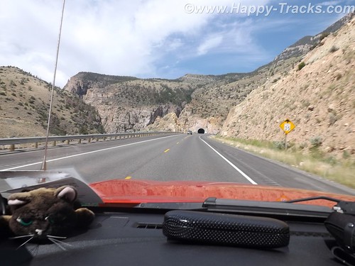
We left our cabin in Cody after breakfast and entered the park though the east entrance with plans to make a backward S and leave through the north entrance by day’s end.
DSCF6468
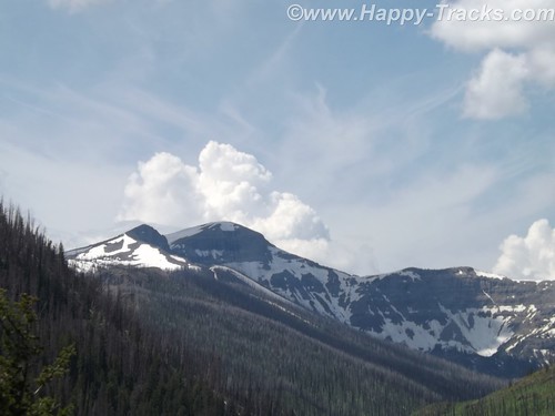
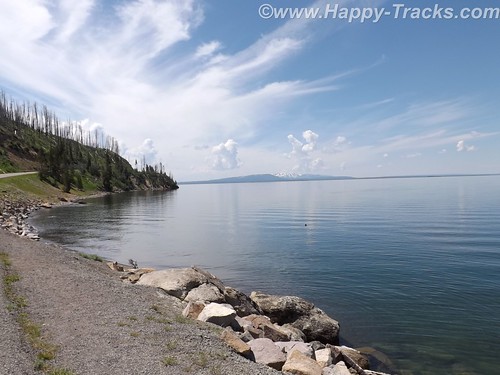
On entering the park, we received our separate handout sheet advising against feeding the animals and telling us that wild animals were dangerous. It also cautioned us to stay in the car when animals were nearby. The road in took us around the shoreline of Yellowstone Lake and into Lake Village.
DSCF6473
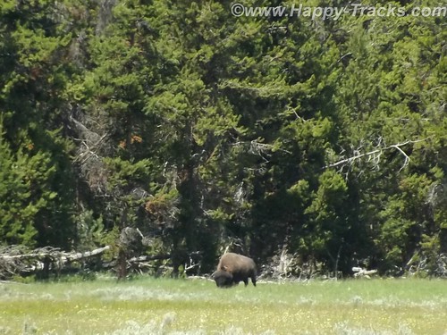
As we could first see the lake, we entered the area of the park where sulphur vents and you could smell it as soon as we entered the region. We stopped by the lake and took a few pictures then headed on towards Lake Village. On the way, there was a car stopped in the road for no apparent reason. As we got closer, we realize that they had stopped and gotten out of the car to take pictures of a bison in the field.
DSCF6476
There was a pulloff nearby and we backed up to it and parked out of the road and took a picture of our own. We learned (and it would be reinforced throughout our trip) that when you see a car stopped, chances are someone has sighted a wild animal, even though the park literature reminds you frequently not to stop in the road.
We continued on to Lake Village where we would find a commercial area (gas, food, restaurants) as well as a visitor center. The ranger at the visitor center gave us the latest updates for expected eruptions at Old Faithful, one of our “must do” sights.
DSCF6478
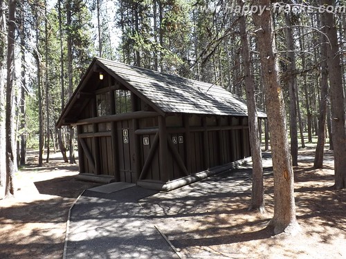
Shortly after we passed the West Thumb Information Station area and turned to continue on the Grand Loop Road, we were waved down by a young man who had been bicycling. His girlfriend had fallen off her bike and needed assistance. He said she was shaken up and we volunteered to call for help. Punching the OnStar button, we soon were in contact with their personnel who patched us through to emergency services in the park. While we were doing that, another truck stopped. Luckily, it was being driven by an off duty EMT who was able to assess her condition and was drafted to transport her and her bike over to the West Thumb first aid station. We informed the emergency services folks of the resolution and went on our way. While we were glad to be of assistance, we breathed a sigh of relief as we realized we would still be able to make the next eruption of Old Faithful if we got on our way.
DSCF6494
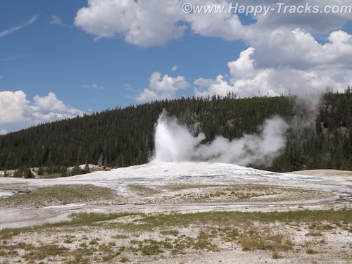
There was a crowd of people there, both for the geyser show and for the lodge, restaurant and shopping area. We found our spot on the viewing deck and waited for the show. As the time drew closer, more people crowded into the area.
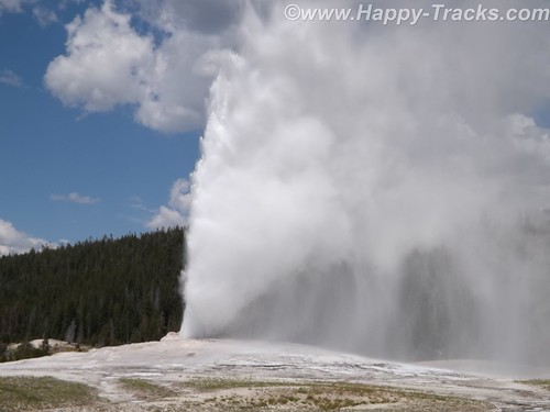
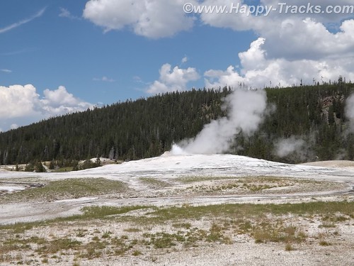
While we were waiting, we saw steam erupting from the other geysers in the area but still we waited for the most famous one. After several smaller spurts and steam, the big show came and we were suitably impressed.
DSCF6506
DSCF6507
DSCF6511
It is truly amazing to watch Mother Earth in action. We had seen pictures and video but its nothing like seeing it in person. One thing that no one ever mentioned was the sound and the noise. Anyone who has ever worked in a steam plant (such as a nuclear submarine) has nightmares about the sound of high velocity steam escaping. Wow.
After the show, we went into the Old Faithful Lodge for lunch and to visit the shops.
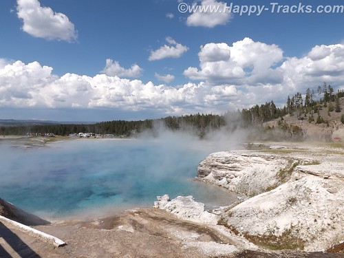
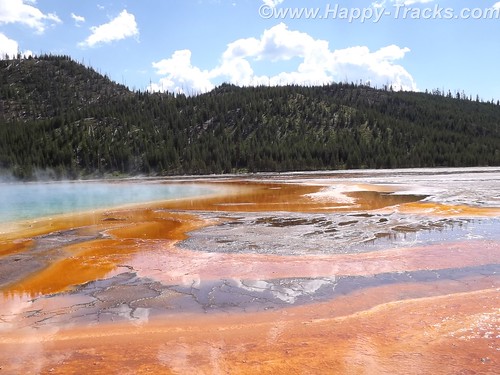
We continued on to the Grand Prismatic Spring. The parking area there is small and was very crowded with folks waiting for others to leave before being able to park. The hot spring is the largest in the US and the third largest in the world. First records of it appear in a trapper’s notes from the 1830s. The colors near the edges are the result of microbes in a mat around the mineral-rich water. The center blue area is sterile due to the heat and its color derives from its depth and purity.
DSCF6538
DSCF6546
DSCF6531
The microbial mat is extremely fragile and there are numerous warnings and prohibitions against walking on or otherwise disturbing the mat. While we were there, someone’s hat blew into the pool. Park personnel remove things like that with poles. On August 2, shortly after our visit, a tourist’s aerial drone mounted camera crashed into the pool. It’s still being investigated about how (or if) to remove it and the owner is facing charges.
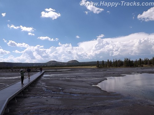
Connecting the parking lot and the spring is a pathway that includes a walkway over an ice cold stream fed from the mountains. What a contrast.
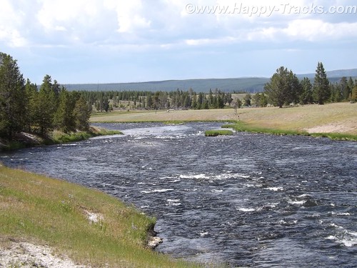
DSCF6525
That area is the Midway Geyser Basin and contains the dormant Excelsior Geyser as well.
We continued around our backwards S on the Grand Loop Road to visit Steamboat Geyser, the world’s tallest active geyser. It infrequently (and unpredictably) has a major eruption up to 300 feet in the air. It had been almost a year since its last major eruption. It has more frequent minor eruptions, including the day we were there.
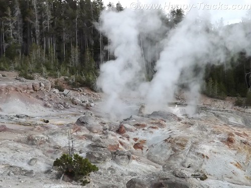
DSCF6572
But as we started back towards the truck, the skies let loose and it poured rain. We had umbrellas and windbreaker/rain jackets…back in the truck! So we half walked, half ran back.
We continued our ride towards the north entrance and saw the now telltale sign of cars stopped along the road. DSCF6578
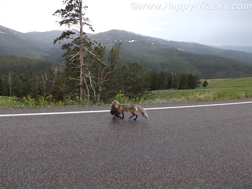
Animals? Sure enough, we saw this fox with something in its mouth coming along the road. We never were able to identify the prey in its mouth which appeared to be some sort of small mammal.
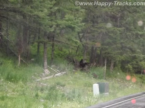
Traveling along, we again saw stopped cars, this time there were a number of them stopped in both lanes of the road. DSCF6584
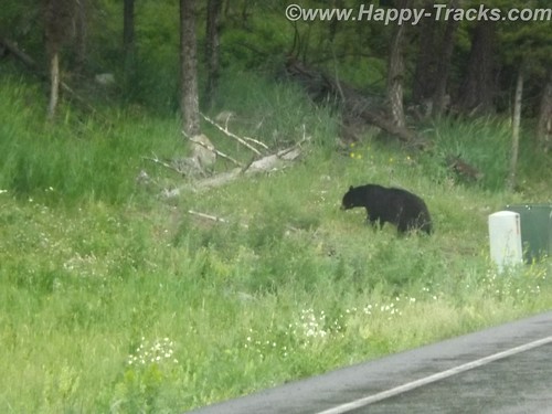
DSCF6589
After a bit of sitting and waiting, we realized it was a black bear and three cubs working on crossing the road. Eventually, the adult bear crossed and the three cubs remained on the left side of the road. Then, to our absolute amazement, adults started getting out of their cars –with kids– and started walking up to where the bear and the cubs were on opposite sides of the road! Unbelievable! Finally some of the cars started moving by passing the parked and temporarily abandoned cars. When we were able to move on, the cubs remained on the left, the mother remained on the right and the humans kept on getting out and getting closer.
We stopped at Roosevelt Lodge and Cabins. This was the lodge used by President T. Roosevelt when he visited the area to hunt. There are also cabins, a restaurant and a small camping store there. We kept our comments about the bears and the tourists quiet as we weren’t sure how many of the patrons there had been part of the group. While paying for our purchases at the camping store, we got into a conversation with the clerk who was an older gentleman who had retired to this area from the New Bern area of NC.
DSCF6591
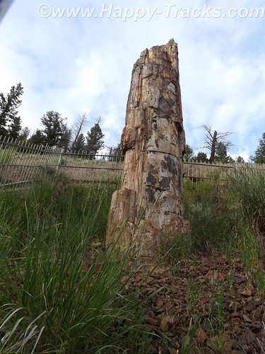
From there, we visited a petrified redwood tree that is the same as present-day redwoods in California, giving testament to a very different Yellowstone in the distant past.
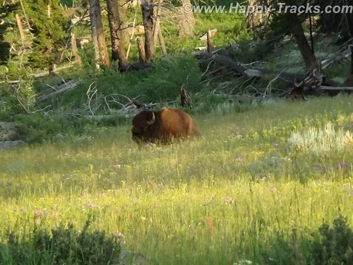
Our next wildlife sighting was another bison standing by himself in a grassy meadow. We found this one by ourselves without the aid of other cars.
DSCF6600
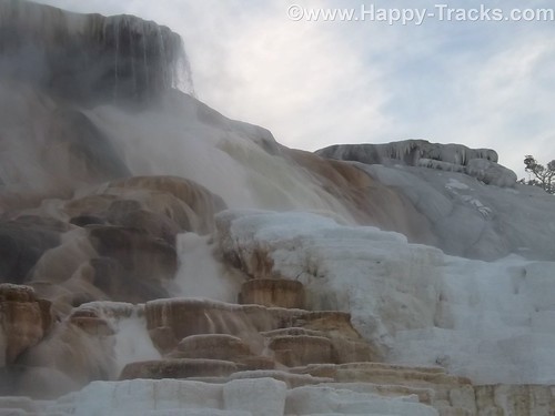
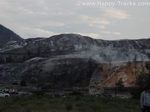
We next arrived at the Mammoth Hot Springs resort and campground at the site of the old Fort Yellowstone. The public buildings are reclaimed barracks and dining facilities. The springs are a series of cascading pools on a hill of travertine.
DSCF6612
DSCF6617
DSCF6626
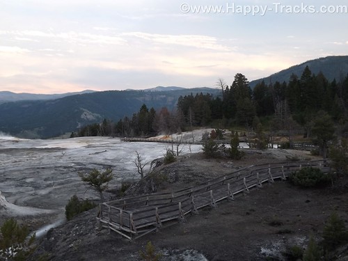
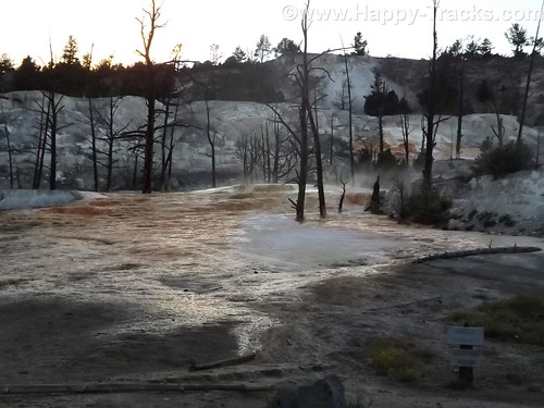
There is a roadway which winds up the hill and lets you look down on the pools and the historic district. These pools, still more hot springs, really give you a different view than the Prismatic Spring. There was a dormant hot spring cone, Liberty Cap, too.
DSCF6632
DSCF6637

Leaving the Mammoth Hot Springs, you wind down and behind the historic district and onto a winding road out of the park. Just as we reached the boundary, a herd of antelope was crossing the road along the stream bed. Approaching dusk prevents us getting more pictures.
As we exited the park, we followed the Yellowstone River through the canyon to Livingston MT where we found a motel around 11:00. The motel was a Best Western and had a covered garage with a keypad lock for parking which seemed unusual and we never did really figure out why. At first, we suspected the winter weather but it seemed to be the only motel in the area with that feature. It also had an indoor heated pool which our room’s door faced. The humidity outside the room was a reminder of the hot springs we had seen that day.
This is a longer than usual post but it also was a longer than usual day for us. While we don’t advise spending only a day when you get to visit Yellowstone, we proved you could actually see much of it in a day.
You can see all of the pictures from this leg of the trip here.
We invite you to continue along with us and hope you enjoy the account!
Summer 2014: Alaska via the AlCan, Custer SD to Cody WY via the Devils Tower

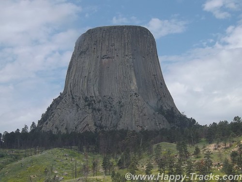
This day’s travel plans included trekking from Custer SD to Cody WY, our gateway to Yellowstone National Park. We were taking a non-direct route that would allow us to visit Devils Tower, America’s first national monument, created by President Theodore Roosevelt under the Antiquities Act in 1906. Devils Tower is also a sacred area for several of the Plains Tribes.
DSCF6385
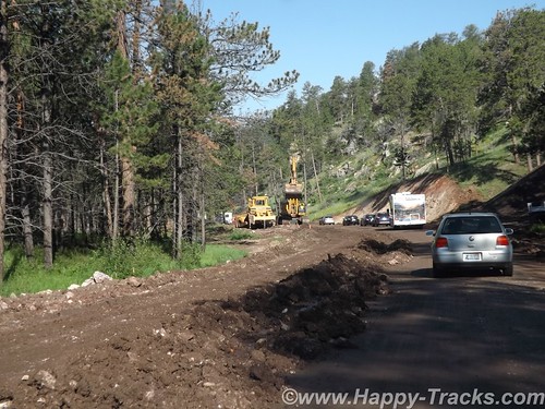
After breakfast and fuel, we hit the road. Route 16 took us through the Black Hills National Forest where the road quickly switched from pavement to dirt and gravel. Very shortly we encountered a stop for construction. Several times we stopped as there was only enough room for one lane of traffic. The pace allowed us to view the scenery and we weren’t in any particular hurry.
DSCF6359
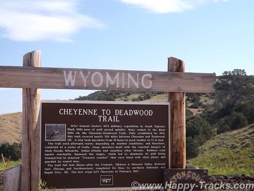
As we neared the National Forest boundary, the construction ended and the road switched back to pavement. Soon after, we crossed the state line into Wyoming and began our approach to Devils Tower.
DSCF6374
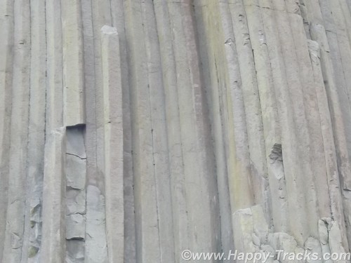
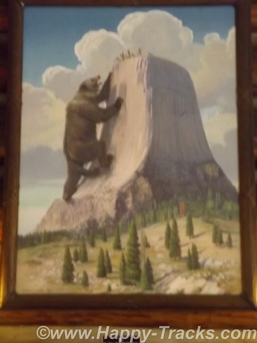
Devils Tower is a column of magma that likely never reached the surface and was later exposed by erosion. The Plains Tribes have varying stories in their lore as to the origins of the tower but they share that that column saved children from being eaten by a giant bear-like creature and that the columns are the results of the bear’s attempts to climb the column.
DSCF6387
DSCF6389

Devils Tower, which attracts about 400,000 tourists a year, is loaded with sacred meaning for about two dozen affiliated tribes of the northern Great Plains. According to their oral tradition, this is the place — historically known to many Indians as Bear’s Lodge/House/Tipi — where a sacred woman, White Buffalo Calf Woman, delivered the sacred bundle to the Lakota, Nakota, and Dakota nations (the three major Sioux subcultures or dialects). This is the place where White Buffalo Calf Woman taught the people how to perform the seven sacred ceremonies (prayer rituals). This is where White Buffalo Calf Woman taught the people how to live in a good way. She also gave them a sacred pipe, and before she left, she promised to return. And then she turned into a white buffalo.

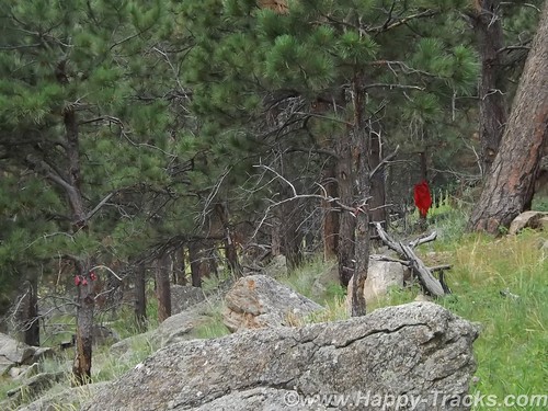
We did see evidence of the sacred beliefs in the form of prayer ribbons and cloths at various places around the base.
DSCF6409
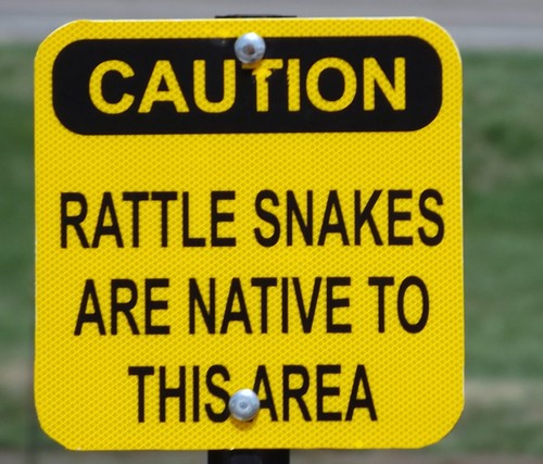
A walk around the base follows a paved path (1.3 miles in length). Wildlife sightings are common — including rattlesnakes– but we didn’t see any during our walk.
DSCF6405
The column is a favored spot for climbers (permits required) and you can see –through an NPS telescope– some of the climbing anchor points up near the top.
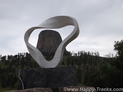
A sculpture was added near the picnic area adjacent to the campgrounds for the Tower’s centennial celebration. The sculpture is called Circle of Sacred Smoke, made by Junkyo Muto. The sculpture is one of seven “peace” sculptures to be donated internationally and calls to mind the sacred pipe.
DSCF6419
After a walk around the column and a visit to the visitors center and gift shop, we headed out for our next destination and had lunch just outside the monument’s gate.
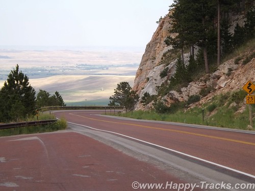
We got back onto I90 and headed to Sheridan where we exited and headed west through the Bighorn National Forest. A rapid increase in elevation as we climbed into and over the Bighorn Mountains via a series of switchbacks.
DSCF6426
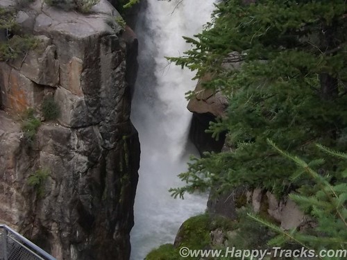
As we started down the far side, we stopped at Shell Falls. The Falls have a parking area and a series of viewing platforms. Interpretive signs explain that the water path that carries water from Shell Falls into the Gulf of Mexico. The stream follows a fault line until the water eventually reaches the Yellowstone River.
DSCF6433
The road travels through the landscape and a series of small settlements and towns until you eventually reach Cody.
As with most of our trip, we arrived in Cody with no definite plans on where to stay. There is a Comfort Inn, a Holiday Inn and Buffalo Bill’s cabins on the main route. We stopped at the Comfort Inn. Although there were rooms available, the price was (considerably) higher than our budget allowed. As we balked, the desk clerk advised that there were lesser priced cabins available elsewhere but she was not able to give us details. She offered to call someone who could tell us though. Shortly, another lady appeared outside the hotel on a golf cart and offered to show us the Buffalo Bill’s cabins (which were available at about 2/3 the price). What have we got to lose? We followed along.
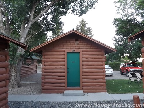
She took us to adjoining property and showed us a lovely little cabin which had furnishings equivalent to the Comfort Inn. We told her we’d take it and she gave us a ride to the office where we registered. On our ride, she told us she lived in her large RV just on the other side of that fence and came up to Wyoming every summer to work here. She and her husband wintered in Florida somewhere.
DSCF6449
On the bed in the cabin was stuffed bison toy. A clever piece of marketing, the bison was available for sale in the gift shop or could be left. So the family walks in, the kids see the bison and immediately go to it. “Mom! Dad! I want to keep this.” I wonder how many they sell this way?
DSCF6453
Our night in Cody was our first night after letting the bucket washer system work on our clothes. We decided that fewer clothes at a time would work better along with less detergent. We switched to a schedule of one set of outerwear and two sets of underthings and socks with less detergent.
Comfortable bed, good air conditioning and nice chairs to sit in on the lawn. A good night’s sleep to send us on our way.
You can see all of the pictures from this leg of the trip here.
We invite you to continue along with us and hope you enjoy the account!
Desert Expedition III: Nevada – Post 7 — West to East – Nevada to Maryland and Home

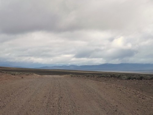
The air had turned cooler overnight and the wind had picked up as well. We hadn’t gotten the showers but there had been wind-driven sprinkles. Although we planned to go to Great Basin today, it didn’t look like a great day for being out and about. It was time to head home. Gary and Ace weren’t outside yet but they were both up as I’d heard them stirring around. I packed up and told them I was heading for home.
Ace gave me directions to hit Rt. 50 which should make for a scenic drive home. I was planning to take a bit more time headed east than I had taken going west.
DSCF1734
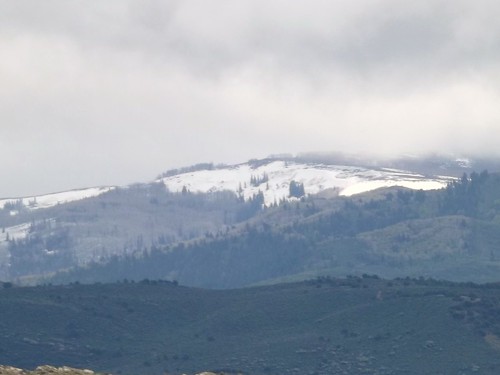
The last 5 miles to US 50 were windy and raining pretty hard. Maybe it would be better once I crossed the ridge.
DSCF1738
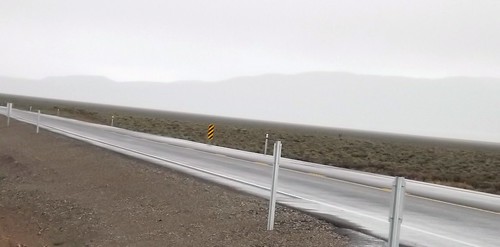
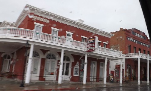
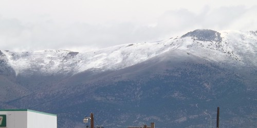
I drove on through the rain through Eureka and Ely with no signs of clearing.
DSCF1744
DSCF1748
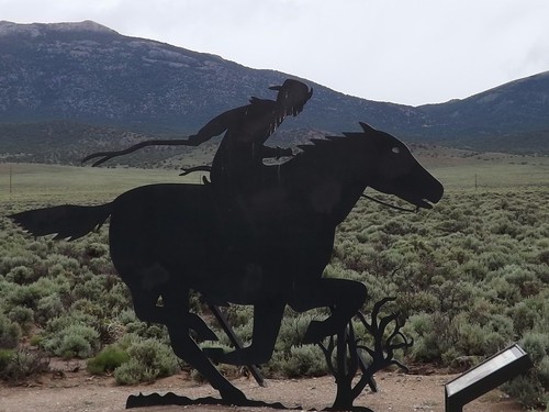
50 is called the Lincoln Highway and was built to connect the country’s east and west coasts. Parts of the Pony Express routes follow roughly the same lines.
DSCF1756
By the time I had reached I80 and the Utah state line, the weather had let up a bit so I decided to hit the Nevada Welcome Station on the way out of state. The woman working at the tourist info desk was a bounty of information. She asked where I was going and I told her I was headed for home after a week of ghost towns. I asked about non-camping accommodations as Betty and I had toyed with making a similar trip without the camping. She told me that in the small mining towns, upwards of 60% of the hotel rooms were occupied by workers at the mines or construction. Further south, where we had been it was closer to 40%. The point being that a trip such as ours without camping that you should make reservations before arriving. She also had two audio CDs provided by BLM for a car tour of the mining areas and the Pony Express routes.
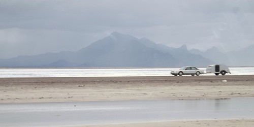
I hit the road and quickly was back into the rain. As I crossed over the Bonneville Salt Flats, I noticed another teardrop headed west.
DSCF1769
The scenery continued to be great, even though the rains continued.
DSCF1785
DSCF1788
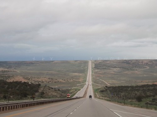
Crossing into Wyoming, the rains continued. Spending most of my life on the East Coast, I’m still taken aback when I see a road this long and straight.
DSCF1795
In Wyoming, I decided it was time to stop fighting the rain and check into a motel. A hot shower and a comfy bed worked wonders.
DSCF1807
The weather continued (sort of like on the trip west) to be unsettled. From the limited weather information, I had thoughts of possibly driving out of it eventually. Radio weather reports and severe warnings usually give the county affected. As a traveler, I’ll usually know what city I’m near but not always what county so word of Tornado Watches for XYZ County just meant somewhere nearby but could have been in front of me or behind me, who knows?
On the whole trip, I’ve mentioned that the only reptiles I saw were lizards. When I stopped at a Nebraska rest area, I’ll admit the thought that crossed my mind was “We’re going to argue natives versus tourists here?”
DSCF1826
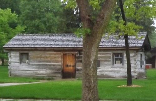
Nebraska does do well with the promoting local tourism though. Almost every exit had an 8×10 feet sign in color advising of tourist attractions at that or an upcoming exit. Not just “Historic Marker 500 feet”. That’s how I found this original Pony Express station when I had to stop for fuel.
DSCF1827
I kept seeing the heavy clouds and lightning and hearing reports of severe weather. Going through my mind was the notion that perhaps I would be in more danger if I stopped for the night than if I just kept going and was aware of what was going on around me. This kept me going until well after midnight and into Iowa where I pulled into a rest stop for some sleep in the Little Guy.
I did discover that Iowa rest stops along I80 all have free wifi!
By the next morning, the sun was shining and it was an uneventful trip through Illinois, Indiana, Ohio, Pennsylvania and into Maryland and home!
DSCF1840
DSCF1845

It was a great trip with some quality folks. I got to see things I’d never seen and learned more about the area. I also learned a few things about this type of travel (overlanding or travel camping) where you’re in a different place each night. I identified a few things that need adjustment to the truck, the trailer and the way I pack.

Where to next?

More photos from this leg of the trip.

If you’d like to be notified of new posts, use the Subscribe button in the upper left and provide your email. Your email will not be used for any other purpose!